Finch Storm Chases
1993 to 2010
best viewed in 1024 X 768 screen resolution
Jonathan
D.
Finch
I present some of my storm chases on this web page. Some of the
pictures presented were captured from my video tapes and the quality of these is
not good. But I like to document as many of my chases as possible. Some
of my chases from 1993 to 1996 are not listed since I can't remember the
dates and since I don't have any pictures.
Apr 24
1993
Chase
partners: Bill Gargan
I started graduate school at University of Oklahoma in September, 1992. This
was one of my first storm chases. We left Norman during the
mid-afternoon as towering cumulus started to develop to our northeast.
We waited too late to leave and were behind the tornadic storm near
Tulsa.This storm produced an F4 tornado that we missed by a few minutes.
May 05
1993
Chase
partners: Paul Robinson...
Our target area this day was the Texas Panhandle into southwest Kansas.
We left Norman around 1 pm and drove to just east of Amarillo. Towers
kept exploding along the dryline and then weaken. It is possible that
cool outflow from a storm complex in central and north TX killed storm
chances this far south. Anyway, a storm developed far to our north in southern Hutchinson County in the Texas Panhandle around 5 pm and
moved almost due north at 25 mph. We drove north for about 2.5 hours
and finally got ahead of the storm near Hugoton. We saw one tornado
occluding and another one forming. This tornado became large and stayed on
the ground for at least 15 minutes.
Here is a radar loop for the event.
May 07
1993
Chase
partner: Mike Schramm
This promising tornado day did not work out so well for us.We
drove up to northwest Oklahoma and watched storms develop along the
dryline. Our storms quickly evolved into a line of storms while
significant tornadoes occurred in Kansas and Nebraska.
May 08
1993
Chase
partner: Mike Schramm
We drove to north Texas and chased storms. We saw funnels but my memory
is too vague about the details. I can't find my pictures/video for this
event.
Jun 01 1993
Chase
partner: Bill Gargan and Paul Robinson
We saw a beautiful storm in northern Kansas with a nice overshooting top. We had to drive east for an hour to catch it.
Jun 02 1993
Chase
partner: Paul Robinson
Although we arrived late, Paul Robinson and I saw a beautiful supercell in southeast Colorado and southwest Kansas.
Jun 03 1993
Chase
partner: Bill Gargan and Dave Gold
We encountered storms in southeast Colorado. After driving 6 hours I at least wanted to give these a shot. But I wasn't driving. As we were driving away a tornado warning was issued on a storm to the west.
Jun 06 1993
We
left Norman, OK in the morning and chased in northwest Kansas. One of
my chase partners was in a bad mood and didn't want to venture into
southern Nebraska. We watched towers explode along the warm front to
our distant northeast. There were several tornadoes near and after dark
in southern and central Nebraska. The CB that developed before dark was beautiful.
Jun 07 1993
We were out of place on this day. We didn't have any data on the road
and opted to chase in southern Kansas. We chased storms east of Wichita
but these did not produce tornadoes. There were large tornadoes in
South Dakota.
Jun 17 1993
Paul Robinson and I chased a storm in the northwest Texas Panhandle. We saw a nice storm but no tornado. It was an interesting storm.
Jun 23 1993
I
chased in southwest Nebraska. Storms developed well to our southeast in
northwest Kansas and we photographed the storm tops. These pictures were captured from my video and are not good quality. Storms also
moved into southwest Nebraska late in the afternoon but these were not
tornadic.
Jul 04 1993
A chased in central Texas. A storm developed east of Breckenridge and moved southeast. I should have chased on the southern end of the storm since it was moving southeast.. My windshield was
broken by
hail. The
storm persisted
for awhile but
never produced a tornado. I saw
another storm
develop to the south. I also saw
another large CB develop far to the northwest. I saw a car
burning
on the side of the road. There were a few tornadoes on this day and
some of them were significant. I missed them all. I also got a speeding
ticket near Throckmorton if I remember correctly. The speed limit was
55 back then.
Oct 15 1993
Oct 18 1993
Nov 13 1993
Mar 26 1994
Apr 02 1994
Apr 09 1994
I chased the warm sector in Oklahoma and busted. There was a large tornado in southwest Kansas in the Plains area.
Apr 25 1994
A
squall line developed across Oklahoma on a promising tornado day. But
sometimes that happens along North-south oriented cold fronts.
May 09 1994
Paul
Robinson and I chased in the northwest Texas Panhandle. We saw a nice
supercell that was nearly stationary for a few hours. This storm
produced an enormous amount of hail and there was flash flooding.
May 28 1994
This
is one of my most memorable and enjoyable storm chases. Project vortex
did not have operations on this day. There was a storm chaser's
barbeque in Norman, OK with many chasers in attendance. I saw no storm
chasers on this day. These were the good old days when you could chase
storms in solitude with nature. Storm chasing is not the same these
days. Throngs of people read the SPC outlooks and then watch for radar
echoes to develop in the risk areas. It is nearly impossible to find a
storm without throngs of chasers crawling all over the place.
The southern branch of the polar jet was situated across the the desert
southwest and into the Texas Panhandle. High level winds were about
60kts at 250 and 200 mb.
Given the slow storm motion, the high level storm relative flow was
about 60 kts.This is extremely important in getting a long lived
supercell. Many forecasters just look at the 0-6 km windfield and
ignore the high levels. This is a big mistake!!
If high level winds are weak, storms tend to collapse and gust out.
Strong storm-relative winds at high levels help to ventilate the storm
and allow the storm to organize and rotate before gusting out. The 500 mb chart showed 30-35kt flow from Arizona into the Texas Panhandle. The 700 mb chart showed weak flow at Amarillo and Dodge City and 25 kts at Oklahoma City and Jayton. A dryline
was located through the Texas Panhandle. A warm front stretched from
southern TX into the Texas Panhandle at 18 UTC. By 21 UTC, mid to upper
60s F dewpoints were in place in the eastern TX Panhandle.
Surface based CAPE values were over 3000 j/kg and the vertical wind
shear profile was excellent. An isolated storm developed in northern
Roberts County and jogged south at 5 mph. A
bell shaped
meso developed with this
storm that was just gorgeous.
We saw
the entire
life cycle
of a
beautiful tornado
and barely
had to
move. This
tornado hit
nothing and
was rated F1. I
believe that
this tornado was
capable of
significant damage. Here is the
radar loop from the Dodge City 88D. The official storm reports from the NWS are
here.
The visible satellite imagery that evening was very interesting.
May 29 1994
June 25 1994
Steve
Courton and I chased in northeast Kansas and northwest Missouri. We saw
two supercell storms and saw good storm structure but no tornadoes.
Oct 05 or 06, 1994
Bill Gargan and I drove to eastern Colorado and arrived late. There were tornadoes much further west in Colorado.
Oct 07 1994
Oct 16 1994
Nov 03 1994
Bill
Gargan and I chased in eastern Oklahoma. I don't remember what we saw
and I don't think it was anything great. We arrived late to the funeral
of David Shellburg who died on Halloween in a plane crash outside of
Chicago.
Nov 04 1994
Nov 12 1994
Nov 27 1994
Nov 27 1994
Bill Gargan, Sean Lyon and I left
the OU maproom at 230 am to go chasing in eastern Arkansas. We headed
east on I-40 and had a change of heart in eastern Oklahoma. There were
several significant tornadoes in western TN that afternoon. But these
storms were moving about 65 mph.
Jan 18 1995
Feb 26 1995
Apr 08 1995
Mar 25 1995
I chased in the Texas Panhandle. I was too far south and was late arriving to the Ochiltree County storm. I missed the tornado.
Apr 17 1995
I followed a storm from southwest Oklahoma to near Pauls Valley. I saw a small tornado near Winniewood.
Apr 19 1995
I chased in north Texas the day of the Oklahoma City bombing. Storms
developed late in the afternoon in north Texas. I chased south of
Mineral Wells and in the Fort Woth area. I did not see the Fort Worth
tornado.
May 06 1995
I chased along an outflow boundary between Abilene and Lubbock. A
storm developed over Lubbock just before dark. I also saw some
nighttime storms north and northwest of Lubbock. I missed the nocturnal
tornado south of Amarillo.
May 07 1995
This was a disappointing day. A squall line developed in west Texas and moved across north Texas in the evening. I missed a big tornado near Ardmore.
May 12 1995
Steve
Courton, Charles Edwards, Casey Crosbie and I chased storms in Kansas.
There was an early show east of Goodland that we missed. This storm had a tornado look-alike. I only have a few pictures from this day.
May 13 1995
Steve Courton, Charles Edwards and I drove to Ilinois after the May 12 chase. We were
behind this
storm in western Illinois. If we not
been shy about driving to the
storm from the
rear we
could have seen more. We did see a
tornado near the
Illinois River
from about
10 or 12
miles away. I dont
know if
this was
the 1st
tornado (F4 from 1 N of Ipava to 2 NE of Lewiston or the 2nd tornado (F3 that moved from 2 NE of Goofy Ridge to Tremont).
May 22 1995
I saw a tornado near Hugoton , KS. This was an awesome supercell and I thought we would see a large tornado. Pictures are coming.
Jun 02 1995
Jun 03 1995
I saw a beautiful LP supercell near Lamesa, TX.
Jun 08 1995
Amarillo Radar Loop
Jun 09 1995
I chased a supercell storm near Vernon, TX. This was a nice storm but didn't see a tornado. This pictures were all taken from video.
Jul 01 1995
Bill gargan and I witnessed a supercell storm in the
northwest Texas Panhandle. This storm appeared to have gusted out but
then quickly spun back up into a rapidly rotating meso. I cant find the
pictures.
Jul 02 1995
Bill Gargan and I chased in the Texas Panhandle and saw a nice storm. This storm produced a funnel.
Jul 03 1995
Bill Gargan and I chased in southern Kansas? We saw some storms but no tornadoes.
Jul 04 1995
Bill Gargan and I chased in northeast Kansas. We saw some nice storms but no tornadoes.
Sep 29 1995
Nov 10 1995
I chased in eastern Oklahoma and western Arkansas. On the way back home it was snowing.
Mar 14 1996
I am not sure if I have the correct date for this chase. I chased in eastern Oklahoma with Paul Robinson. We saw a severe thunderstorm but no tornado.
Mar 23 1996
I chased solo and without maps in western Oklahoma.. Weygandt invited me to chase in his vehicle. Then by
the time I arrived at his house he had changed his mind. He didn't wont
to get hail dents on his brand new van and was afraid I would want to
get too close. So I had to chase by myself with no maps.
This was a great LP supercell in western Oklahoma. The shear profile was great but moisture was limited so cloud bases were high. The inflow into this storm was ferocious and there was lots of blowing dust. Weygandt
had some bad luck with his chase vehicle. Some debris broke off from
somewhere and crashed into his vehicle. OMalley heard the impact, inspected it himself and then pointed it out to Weygandt. Then the two inspected the back of the vehicle for damage. The dust was incredible with this LP storm.
Apr 03 1996
I chased in southwest Oklahoma with Dave Usinksi and saw storms but no tornadoes.
Apr 21 1996
May 08 1996
May 09 1996
May 12 1996
Bill Gargan, Sean Lyon and I chased a storm near Perryton, TX. We saw a storm and it was interesting for awhile. We did not see a tornado on this day.
May 13 1996
Paul Robinson and I chased a supercell in southwest Kansas. This storm was not all that great.
May 14 1996
May 17 1996
May 18 1996
May 22 1996
May 23 1996
I intercepted a beautiful storm north of Limon, CO. This was a gorgeous storm but I never saw a tornado.
May 24 1996
I chased in the Texas Panhandle and saw a small tornado not far from Stinnett. I was just behind the meso as it traveled east. Pictures are coming.
May 25 1996
I chased in the western Texas Panhandle and
saw a small tornado near Friona. An outflow boundary was located in the
area from previous convection. Pictures are coming.
May 26 1996
This was a major bust. I chased along an
outflow boundary in far southwest Oklahoma. Storms initially had
promise and then crapped out. There was a big show in southwest Kansas
with a very large tornado. Pictures are coming.
May 30 1996
I busted in west Texas and eastern New
Mexico. I thought about chasing in Colorado but didn't. There was a
huge tornado near Elba, CO.
May 31 1996
I chased in southwest Kansas and saw a picturesque tornado near Rolla.
Jun 04 1996
Jun 05 1996
Jun 19 1996
Jun 20 1996
Nov 16 1996?
Apr 10 1997
After making a forecast in the
national
forecast contest in the morning, I drove to the Texas Panhandle and
witnessed several storms. We initially
watched a
storm develop
near
Hereford
and then saw
hail on the ground around Hart. I saw a
brief tornado with
this storm but by the time I took video it was gone.
Later we found
another storm and watched it intensify for awhile. One storm near Kress
produced 2 persistent
funnels. Dave Hodges and I
watched these
funnels
for
a few
minutes.
These
may have
been in
contact with
the ground
. A tornado downed trees west of Plainview
and this may have been from the same storm.
Further south, severe weather broke out across the South Plains of West Texas
during the afternoon and evening of the 10th. A band of storms moved
across the area bringing large hail to many counties. Ahead of the
band, however, an isolated tornadic supercell moved from Lynn County
northeast across Crosby and Dickens Counties. One of its tornadoes
struck a lone, double-wide mobile home about one-half mile west of
White River Lake (or about 6 miles NNE of Kalgary) in Crosby County,
killing one 78 year-old male and injuring a 73 year-old female. The
couple was preparing to leave for shelter just as the tornado struck.
It totally demolished the structure and damaged a vehicle. This same
cell had caused tornadoes in southern and eastern Lynn County earlier
(as reported by chasers and spotters), and proceeded to cause other
tornadoes in Dickens and eastern Crosby Counties (as reported by
spotters and local law enforcement). Near Afton (Dickens Co.), a
trailer was damaged, the roof of a cotton gin was ripped off, and a
chimney collapsed due to a tornado.
A tornado was reported approximately 2 miles to the northwest of Canyon
Valley around 9 pm. A residence was completely destroyed and was
located 1/2 mile north of County Road 238. The tornado is reportedly
separate from the White River Lake tornado described above. Debris from
the home was scattered up to 6 miles from the residence and cedar trees
where uprooted and large sandstone rocks were moved. The debris path
was reported to be an estimated 1/2 mile wide with utility poles
snapped and carried four to five hundred yards south of the house. A
very heavy and anchored deer stand was blown over and damaged 1/2 mile
north of the house.
An arctic cold front moved
through Lubbock before midnight which I forecasted. The models were way
off with the positioning of the front. My forecast low of 31F was 20F
degrees below MOS guidance. The low as of midnight was 32F.
May 01 1997
May 25 1997
We saw a tornado near Burrton in Harvey County, KS. This tornado was not warned for. It was fairly picturesque and lasted for about 10 minutes. Here are some pictures that were taken during the May 19 to May 24 period as we chased marginal days and waited for the western trough to develop.
May 26 1997
I chased near Tulsa and busted. I got on the
east side of Tulsa and waited for the storm. Those who stayed on the
west side saw a nice tornado. The storm weakened before it reached
my location. If the city hadn't been in the way I would have seen
a tornado. I hate chasing around cities.
May 27 1997
We drove to north Texas to chase the front.
We saw storms but there were large tornadoes further south that we
missed, including the one that hit Jarrell.
Here is a radar loop for the event.
Jun 02 1997
We spent several days in Texas chasing storms in early June 1997. I dont have any pictures from these chases. Here are some pictures that include my friend Guy Caputo that were taken this week.
Jun 04 1997
Jun 7 1997
We chased in the mountains of the Texas Big Bend. We saw a rotating storm near Mt. Livermore (if I remember correctly). This date could be wrong as well.
Jun 8 1997
Jun 12 1997
We chased in north Texas and saw some storms in the late evening.
Jun 14 1997
Jun 15 1997
Jun 16 1997
Oct 11 1997
I chased in southeastern Colorado.
Unfortunately I left and headed back to Norman and missed the big show
later in the evening. When I was near Holly, CO heading east I took this picture of a
storm that was producing a tornado near La Junta.
Jun 07 1998
I thought for sure I would see a tornado on
this day. The vertical wind shear was awesome and CAPE values were at
least 3000j/kg given the 60-65F dwwpoints in eastern New Mexico. I did
see a
beautiful storm though.
Oct 04 1998
Here is a large frame with my video captures of the entire tornado life cycle.
Rick Rubrecht and I chased storms in northwest
Oklahoma during the early afternoon. We gave up on these storms and
went east. A storm developed in northern Caddo County around 2115 UTC
and moved northeast to near Interstate 35 where were intercepted it.
This turned out to be a fantastic tornado. It was close to dark and I
only took video. So all the pictures I have are low quality captures
from video. The tornado was illuminated by lightning and went over Lake
McMutry. The tornado took on various shapes and sizes as it moved to
the east-northeast. There were frequent cloud to ground lightning
strikes near the tornado. The tornado took a while to rope out. This
tornado lasted for about 15 minutes.
The radar loop is very impresive.
May 03 1999
After working a midnight shift in Wichita, I
made a quick chase forecast of Lawton, OK. I arrived in Lawton just in
time to see the 1st storm developing right over town. I followed this
storm for awhile and saw 2 tornadoes. The 1st tornado was fairly brief
and I do not have a picture of it. The 2nd
tornado lasted about 10
minutes.
I was chasing solo and got confused with the roads around Interstate
44. The Lawton storm was moving away from me to the northeast. I decided to chase a storm that
was off to the
west. This
storm had
awesome structure and I saw several tornadoes with it. I managed to get picture so the updraft and
tornado near Anadarko from about 10 miles
away. An Indian family living near Anadarko took some nice pictures as the
tornado passed
right
by their house. I kept chasing this storm and saw more tornadoes
after the storm passed into central OK. If I recall correctly my
pictures of these
tornadoes
didn't turn out well. I am not sure if these tornado pictures were mine
or Bill Gargan's. He was just ahead of me in his car so we were looking
at the same tornadoes.
May 31 1999
We were
behind a nice supercell that
developed west of Liberal since we thought there would be a great
supercell in Colorado. We tried to catch up to the storm but were too
late. We were behind the storm trying to catch up to it. This
storm produced some huge hail and my friend Guy Caputo
picked up a
piece of it. We missed a large tornado near Sitka. More pictures will be forthcoming.
Here is the radar loop for the event.
Jun 03 1999
I chased the caprock area of the Texas. A
storm exploded and showed promise for awhile. But this storm died
quickly. I missed a large tornadoes in northwest Kansas and central Nebraska.
Jun 04 1999
I chased in central Nebraska. I feared a bust
and left for home around 4 pm. A storm developed on the high plains and
moved across western Nebraska. There were tornadoes just before dark in
the "Sandhills".
Jun 13 1999
John Dunne. Guy Caputo and I chased in
northeast Colorado. We found a nice
supercell but this storm only
produced weak
gustnadoes. We found
another storm further north that evening.
Jun 26 1999
Dan Bikos, Jonathan Case and I chased in southeast Wyoming and the Nebraska Panhandle. We saw a small tornado near Harrisburg.
Jun 27 1999
Dan Bikos, Jonathan Case and I chased in southeast Wyoming to near Scottsbluff. We saw an awesome storm but no tornadoes.
May 16 2000
John Dunne, and I saw a tornado to the southwest of Guernsey, WY.
May 17 2000
I chased an awesome supercell that developed
north of McCook, NE. I abandoned the storm south of Eustis and
blasted east for the main show. The only problem was that the Eustis
storm was the main show. As soon as we left the storm it produced a
large tornado.
Here is a radar loop.
Apr 06 2001
I missed a F2 tornado that developed near Rolla and moved into Grant County. I was chasing west of Garden City.
Apr 10 2001
I chased in western Kansas.
Apr 14 2001
I chased in southwest Oklahoma and busted. I
was torn between 2 target areas in the morning and chose poorly. There
was a large tornado near Pratt.
Apr 21 2001
I was very excited about tornado chances on
this day. I headed out to Greensburg from Wichita. A
storm
developed north of Dodge City. This storm looked just
awesome
as it
developed into a supercell. I got some awesome
pictures of the storm
before dark. A saw a small, brief tornado before dark and then headed
back to Wichita. The tornado was so brief that I didn't get a picture. This is one of the last
pictures
I took looking northeast towards eastern Rush county. The time of this
picture was around 8 pm. This storm moved to the east-northeast along a
neatly
stationary front. The shear profile was awesome since a 50 kt low level
jet developed. This storm produced another large tornado that moved
northeast from west of Ellsworth of near Interstate 70. The affected
area was included in a severe thunderstorm watch that evening.
Jun 11 2001
We stayed the night in Watertown, SD in anticipation of a great chase day in western MN. We got a great show. A supercell developed in western MN and produced tornadoes and large gustnadoes. This storm also produced very large hail. We saw rain wrapped wedge tornado looking west toward Benson.
Here is a radar loop.
May 05 2002
May 5 was a wonderful chase day. The chase
hordes were all in the Texas Panhandle. To my knowledge I was the only
storm chaser on the Trego/Ellis County storm. I left Dodge City around
130 pm and headed north to Interstate 70. This storm became quickly
severe. I called and reported good low level rotation. Then I called
back and reported a funnel just north of the Interstate in Trego
County. This funnel quickly evolved into a
tornado. Because of my efforts, the Dodge City office was able to issue a tornado warning for this storm.
This tornado
was on the
ground for about 20 minutes and was rated F3.
Two tornadoes
were occurring at one point.
I drove to the affected area the next day and photographed the damage.
Here is a loop of the event.
May 07 2002
Fritz Kruse and I chased on this day. We
initially went to extreme northwest Oklahoma. Then a storm exploded to
our north. We had to hurry back to the north. We were delayed 4 minutes
by road construction. The storm split and we chose to head toward the
southern part. Althouth we missed the 1st large tornado, we got quite a show. The inflow to the storm was awesome. We saw a very nice
tornado. This tornado
roped out just to our north.
Here is a radar loop and a zoomed in version.
Jun 09 2003
I chased with Guy Caputo and John Dunne. Our
target area from the night before was north of Ainsworth, NE. We drove
up to Ainsworth the night before and slept in until 10 am. We jogged
north about an our and caught as awesome
storm.
We saw a
picturesque tornado that
lasted for
about 10 minutes. This storm produced a large, weak dusty
tornado near Oneill a little later in the evening.
May 12 2004
My target area was south central Kansas.A
saw one tornado in
Barber County. A larger tornado developed further east and hit Conway Springs. I
believe that this may have been this
tornado that I photographed looking at the eastern horizon.
May 29 2004
I left Dulles airport around 10 am, arrived
in Kansas City around 2 pm, and left KC around 3 pm. I looked at
things the previous day and my target area was south central Kansas.
The main reason why my target area was further south is that the high
level jet approaching 100 kts was progged to be across northern
Oklahoma. The 700mb jet was also progged to be strongest in southern
Kansas. Surface based CAPE values would be 3000-4000 j/kg if 70F
dewpoint could make it into southern Kansas. I thought this was a high
liklihood given that rich moisture was on place over Texas.
I arrived in southern Kansas just in time for the big show. A storm
formed on the dryline in northwest Oklahoma and moved east-northeast
for several hours. The storm encountered high dewpoints near Anthony
and became a beast. Despite moving into a capped environment, the storm
kept going and produced several
tornadoes.
The first
tornado was
difficult to
see.
Once a storm is rotating, it sometimes doesn't matter if the storm
moves into a capped enviromnent. The bottom part of the storm gained a
laminar appearance after
moving into the capped environment. You could clearly see the level of free convection at the top of the forced ascent layer. These
tornadoes were
picturesque. I was
using a very cheap camera
and was not
prepared for a low light setting. My best photograph that evening was of a lightning lit
tornado.
Jun 11 2004
I busted in Iowa. I arrived late to the
northwest Iowa storm and missed several tornadoes. Then I tried to
catch a storm further east in my original target area and missed the
tornado. Then I blasted back to the southwest and arrived late to a
storm near Fort Dodge, missing another tornado.
Jun 12 2004
This was a big bust. I opted to chase in
southern Nebraska along an outflow boundary since the 500mb
temperatures were very cold. My target area previous to this was
southern Kansas but I changed my mind. I missed a picturesque tornado
south of Wichita.
Mar 28 2007
This was a tremendous bust. My area (far
southwest Kansas) was capped until very late. I blew off the storms
developing south of Dodge City. These storms produced significant
tornadoes in Gray and Hodgeman counties. I watched some high based
garbage storms in far western Kansas in the late afternoon. I should
have stayed out there since 1 particular storm that I was watching went
to town immediately after I left it. This storm produced a killer
tornado in Holly after dark.
May 05 2007
Apr 26
2009
Storms
fired early in the afternoon in northwest Oklahoma and southern Kansas.
I opted to blast further south and catch a storm developing along the
dryline in the Texas panhandle. This actually worked out very well. We
saw a tornado near Roll, OK. Unfortunately we missed the beginning of
this tornado and we did not get very close to the tornado. This served
as a lesson for me. If one of your chase partners in a different
vehicle needs to get gas when a storm is about to become tornadic, done
feel compelled to stop and wait--keep chasing. Anyway, we approached
the storm from the west and saw a
lowering of the
cloud base. We were very
excited when we saw this. The inflow was very
strong
from the southeast and there was some blowing dust. I measured a 63F
dewpoint with my Kestrel. This storm soon produced a tornado near
Crawford but we missed it. Anyway, after getting gas, we raced north
and caught the end of the 2nd
tornado.
These pictures were taken by Rosa out of the window and are not
very good. We had the camera on auto-focus instead of
landscape. However,
this was
Rosa's 1st
tornado and she
had a good time!! She enjoys storm chasing too!! Another supercell developed to the west and this one was
rotating at low levels as well but did not produce a tornado.
The tornado
destroyed a mobile
and tore up
some trees
about 7 miles
north of
Roll.
You would never know based on the official storm data. Even though I
reported the damage and submitted pictures to the affected office,
there has yet to be any official storm report. You would think the
media would be interested in this event. This tornado does not appear
in storm data whatsoever.
Apr 29
2009
Chase
partners: Rosa Finch
My target area for April 29 was west Texas. I was too tired after a
midnight shift to drive 5 hours. This was a west Texas classic. The NAM
48 hours out showed MCS activity across TX/OK. However the model failed
to generate a well defined outflow boundary and the SLP field was
barely affected by the model convection. I called SPC and voiced my
concern that a well defined outflow boundary could lead to a favorable
environment for tornadoes. The 12 hr NAM didnt even capture this
outflow boundary very well. This is a case where perusing high
resolution models did not help. Forecasters needed to look beyond the
models and use their meteorological skills to forecast a tornado event.
Rosa and I woke up late in the afternoon and headed west toward Garden
City to chase a developing supercell storm. This turned out to be a
gorgeous supercell that moved slowly to the south-southeast. As we approached the storm the mammatus was awesome. Even through mid to high level winds were not very strong, the weak mid level winds allowed for a strong right mover. The storm moved into its inflow so low level storm relative flow was enhanced. Also, the storm actually moved perpindicular to the high level flow so that the storm relative flow at 250mb was actually fairly good. We watched this storm for quite a while. The storm produced a tornado when we were driving toward the storm. However I wouldn't trade this storm structure for anything. It was definitely quite a treat.
Jun 04
2009
Chase
partners: Rosa Finch
Discussion
This is a marginal case day, but since this is the
1st day of my chase vacation, I have decided to go ahead and chase. My
initial target area in the Limon-Denver corridor. A cold front has
scoured the moisture out of the central and southern plains. However, a
narrow ribbon of marginal moisture is returning up the high plains.
Also, a weal cool surge through the Limon, Denver and Akron area this
morning may actually help. This region was socked in with low clouds.
The southern edge of this cool/cloudy area should have locally higher
dewpoints. With west-northwest flow at mid and high levels, supercells
should move to the sse.
What happened?
This day turned out to be better than expected. I actually saw 2
supercells and a funnel.
Initial
short-lived supercell
about 10 miles northwest
of Calhan
Funnel
southwest of Kiowa
with the
2nd supercell.
Jun 05 2009
Chase partners: Sean
Lyon and Rosa Finch
Discussion
I have more hope today than yesterday. The mid to
high level flow actually has a southerly component today. Therefore,
lee troughing should really increase. Unfortunately, low level moisture
tends to be marginal across the plains. In June, when the moisture is
marginal, you do not want to be on the lower terrain since higher
temperatures and marginal moisture will lead to high cloud bases. It
will also be warmer at 500 and 300mb in the warm sector. I prefer to
chase on elevated terrain on the northwest extremity of the moderate
CAPE area where surface temperatures will be cooler and cloud bases a
little lower. I hope chase forecasters dont accept the the 12z nam.
This model shows a morning MCS over Nebraska and cool outflow over
southeast Wyoming all day. In fact the nam shows surface temperatures
between 50 and 55F in the afternoon to the lee of the Laramie
mountains. This is a model error. My chase target area continues to be
southeast Wyoming where initial cumulus towers should develop on the
Laramie Range. Storms should have about 3 hrs residence time in the
theta-e axis of southeast WY and the western NE panhandle before
moving into lower CAPE in western NE. I think the chances for supercell
storms are very high and there could even be a few tornadoes.The
vertical wind shear profile will be awesome.
What happened?
Our (Sean Lyon and myself) initial target area for initiation was west
of Chugwater, WY. This worked out great. My wife Rosa was along for the
chase as well. Even though I took these pictures, this was a joint
venture. So these pictures are Sean's too as far as I'm
concerned. We drove to the Chugwater area around 1 pm and waited
around for storms to develop. Due to the extensive mountain enhanced
cirrus, it was actually difficult to see the storms developing to our
west/southwest. Two storms developed west/southwest/northwest of
Chugwater. We drove about 5 miles southwest of Chugwater to watch the
storms develop. I enjoy taking temperature/dewpoint readings in my
target area in order to calculate dewpoint depressions and lifted
indices. I have a skewt-log P diagram in the trunk of my car that I
always take chasing. The T/TD at Chugwater (5300 ft) at 2 pm MDT
were 67F/53F. But since 500mb temps were around -10 to -14C at 12 UTC
and progged to be around -12.5 in the Chugwater area at 18 UTC,
500mb/400mb/300mb lifted indices were around -7/-8/-8. This probably
corresponds to about 2000 j/kg surface based CAPE. Given the 40kt 500mb
flow from the west-southwest, 25kt flow at 700mb from the southwest and
80kt winds at 200mb that were progged for the area, I was very excited
about the tornado chances.We focused on the southernmost
storm due
to the fairly
strong 3-6 km flow, we knew that the storm would move no more than
30 deg to the right of the 500mb wind. Our predicted storm
motion
vector was 270 deg at 25 kts. By 252 pm our storm
was getting better organized and had begun to rotate
by 317 pm just ese of Chugwater and turned to the right
(280 deg). This actually worked out fairly well for awhile as the storm
initially moved to the east or east northeast. But I suspected that we
might have to drop south. The
major problem on this chase was the lack of roads east of Chugwater.
Road 313 went east from Chugwater. When the storm was east of
Chugwater, the updraft portion of the storm was just west-southwest of
our location. We started out on this road but we
were keenly aware that we might need to drop south. But there were no
paved roads to the south. Anyway, we did decide drop south since the
forward flank downdraft was getting close to RD 313 and since the meso
seemed to be moving to the east-southeast. We dropped south on Rd 246
as a scary
wall cloud loomed just a few miles to our southwest at 319 pm. We dropped south
on 246 about 6 miles. By 326 pm the meso
was to our north.
Then we took
Rd 153 southeast and
then east as the meso was north of Bear Creek at 350 pm. I am glad that we had the Wyoming Atlas Gazetteer as this
would have been impossible without it. We took this dirt road
through the canyon west of Phillips. Due to the surrounding
cliffs, it was difficult to even the storm
as we traveled east at 352 pm. Due
to the poor road conditions--frequent turns and rough areas, we
actually got on the back side of the meso. Water actually covered the
dirt road in several places, but we managed to drive off the road
slightly to avoid the water. I can't believe that we actually were able
to pull this off. But this was a safe place to be as it was
partly cloudy
to our south and west. We got a clear look at the meso
as it was approaching Bear Creek but still north of RD 153. The first
tornado developed several miles west
of Phillips on Rd 153 along Bear Creek around 357 pm MDT. The
timestamp on my digital camera was 354 pm. But there is a 3 minute
difference between my camera and my cell phone (which has the correct
time). This
tornado started off as a ferociously
rotating column north of Bear Creek around 352 pm. By 356 pm the condensation funnel was still hard to see. Even after passing
over Bear Creek there was no obvious condensation funnel even though
some tornado damage had occurred.. But
the rotation was so dramatic with
this meso that it was obvious from our perepective that we were looking
at a tornado. Our belief was corroborated by the damage. Vortex 2 took
pictures of deciduous trees uprooted along Bear Creek It
might be worth searching for tree damage just north of Bear Creek as
this tornado could have started before 357 pm. This radar image from
the Cheyenne radar at 352 pm shows a great hook echo just north of Bear
Creek Were were located just west of this meso along Bear Creek Rd and
we witnessed amazing low level rotation suggestive of a tornado as
early as 352 pm. At 400 pm MDT a truncated
cone-shaped tornado
developed. This was somewhere south or
southwest of Phillips. Higher contrast pictures are also available. This tornado seems to have lifted but may have just disappeared in the rain. Another tornado
appeared at 403 pm and was wrapped in rain from our vantage point. This rain
wrapped tornado was
still visible
at 408 pm as a large white cone.
A higher contrast picture showing this large tornado can be seeen here. The tornado became so wrapped in rain that it became barely visible.
Large hail
also occurred with the storm. We stayed far enough away from the precip
cores to avoid the very large hail. I tried to report these tornadoes
to the NWS but I had no cell/internet coverage. In retrospect, it may have payed
dividends to wait for the storm to approach highway 85 near
Meriden. In fact, those arriving very late from the southeast may
have been rewarded greatly with a higher contrast tornado. But this is
not the way I operate. I always go for initiation, wanting to see
the entire evolution of the storm. Part of the fun for me is making a
storm initiation forecast, driving to the area and then watching the
storms develop. Driving east from Phillips
to La Grange, we saw
another tornado from 423 to 425 pm to
our south.
Then we saw another tornado
partially obscured by rain between 428 and 430 pm. This may have been
the same tornado that started at 423 pm and continued through 430 pm.
This last tornado roped
out at 430 pm and disappeared by 431 pm. We actually
followed this storm well into the Nebraska panhandle. This storm became
a rotating beast again after a brief weakening near the
Nebraska/Wyoming border. We may have
seen 1 or 2 more tornadoes with this storm, but it is possible that
these were just tornado look-
alikes. This particular look alike occurred at 549 pm. The storm
structure was amazing in
the western
Nebraska panhandle. In retrospect, if we had been about 10 miles to the south in the panhandle the view of the truly amazing
storm would have been better.
I plotted the path
of the tornado in google earth. The path length was about 17 miles.
This tornado was rated F2 based on wind measurements from Vortex-2.
The radar loop from Cheyenne is here.
Unfortunately the start time of this tornado is incorrect in Storm Data
despite the wealth of eyewitness accounts. The official start time
is 407 pm while VORTEX-2 has 353 pm and I have 357 pm. I shared all my
information with the NWS in Cheyenne shortly after the event.
Radar images for selected times are: 2143Z 2148Z 2152Z 2157Z 2202Z 2211Z 2220Z 2229Z
Jun 06 2009
Chase partners: Guy Caputo, John Dunne, John Dunne Jr. and Rosa Finch
Discussion:
Warm sector moisture
continues to be problematic. I do expect dewpoints to rise to around
65F in southwest IA today despite lower dewpoints further south. Why is
this? In summer, the boundary later tends to be deeper in the warm
sector of the southern plains--south of the upper jet. However, deeper
into the westerlies, the elevated mixed layer tends to be lower to the
ground so that moisture trapped beneath is confined to a more shallow
layer. This leads to higher mixing ratios further north even though the
precipitable water could be the same. Also, MCS clusters tend to move
along the southern edge of the westerlies. So areas further north often
have a wet ground with lots of evapotranspiration. Evapotranspirated
moisture tends to mix out deep into the warm sector. However, along the
southern part of the westerlies, areas of moisture convergence (such as
ahead of a surface low and shortwave trough) can pile up and
concentrate this evapotranspirated moisture in a small area where
storms later develop. Anyway, I am opting to blow off the eastern
option (southeast NE) in favor of western Nebraska. Mid level
temperature have cooled somewhat overnight. In fact, 500mb temps are
progged to be around -15C from SNY to MHN today. When moisture is
lacking, it pays to be further west on the higher terrain where you
dont need as much moisture and where mid to high level temperatures are
colder. My target area for today for initiation is the area between Sidney and
Alliance where surface dewpoints should be in the 53-55F range. Mid to
high level winds are progged to be very strong by June standards. The
main limiting factor for significant tornadoes are the weak low level
winds and the narrow theta-e axis. I expect to see supercells but the
tornado chances are low. A storm that develops will have about 2 hours
to produce a tornado before moving into potentially much cooler air.
Update - I have decided to race north to Ellsworth, NE since the
moisture is mixing out per latest surface observation at OGA. The
surface observations look good further north. The towering cumulus also
look crisper.
What happened?
I opted to take the
dreaded Oshkosh-Ellsworth highway northward. This road had plenty
of water in places but I was able to go around the puddles. Also, cows
were walking or laying in the road in several places but my car horn
was very effective at scaring them off. This road is big enough to accommodate
1 car,
thats it. With all the hills, you never know what is going to pop over
the next hill. I could easily invision a head on collision occurring,
Actually, U didnt see 1 car for 40 miles. A moderate cumulus
cloud developed immediately north of us near the Crescent Lake Park
(also note water on road). It was fascinating to watch this cloud
develop into an incipient
thunderstorm , thunderstorm with precip
and then
supercell storm.
I knew that due to the fast storm motion (by June standards) that the
storm would only stay in the higher theta-e air for about 2 hours. So
the storm looked great for awhile. We got several nice pictures of the
storm. I measured a T/TD of 70F/58F at Mullen, NE. This is not
bad give the fairly high elevation of Mullen and the fact that 500mb
temps were around -15C. So surface based CAPE values were surely at or
above 2000 j/kg. However, my fears came true as the storm moved into
more stable air further east and weakened.
Jun 07 2009
Chase partners: Guy
Caputo, John Dunne, John Dunne Jr. and Rosa Finch
Discussion (1030 am)
An outflow boundary from
nocturnal convection extends from north of Manhattan to Topeka and into
western MO this morning. A stationary front extended from northern KS
into central IA. A shortwave trough will approach the high plains this
afternoon. The models are forecasting 70-75F dewpoints today in
northeast Kansas. How can this be given that the higherest dewpoints
this morning are in the mid 60sF ? In
summer, the boundary later tends to be deeper in the warm sector of the
southern plains--south of the upper jet. However, deeper into the
westerlies, the elevated mixed layer tends to be lower to the ground so
that moisture trapped beneath is confined to a more shallow layer. This
leads to higher mixing ratios further north even though the
precipitable water could be the same. Also, MCS clusters tend to move
along the southern edge of the westerlies. So areas further north often
have a wet ground with lots of evapotranspiration. Evapotranspirated
moisture tends to mix out deep into the warm sector. However, along the
southern part of the westerlies, areas of moisture convergence (such as
ahead of a surface low and shortwave trough) can pile up and
concentrate this evapotranspirated moisture in a small area where
storms later develop. Storms could develop along the
outflow boundary and along the front or anywhere along a weak N_S
convergence line. I may go down Interstate and reassess around 2 pm.
Given that storms will be moving ene at 35 mph, I dont want to get
caught behind the storms in Kansas with overshooting tops to my
northeast. So I plan to be in Platte City, MO by 2 pm then reassess
from there. After a further loook, we
may head to Horton, KS and wait for initiation (1130 am).
What happened?
A storm developed in southern NE by mid afternoon. We opted to
ignore this storm. We were located about 50 miles southeast of the
storm but the sfc winds in our location were about 5 kts. So there was
little inflow into the Nebraska storm that was riding the surface
front. Also, a storm began to develop to our west-southwest on the edge
of the stronger low level winds with better warm sector inflow. We
stayed just ahead of this storm
for several hours. This
storm
was awesome
and I dont understand
why there were no
tornadoes. The storm structure
was amazing with frequent rfd dry slots.
Jun
08 2009
Chase partners: Guy
Caputo, John Dunne, John Dunne Jr. and Rosa Finch
Discussion
I opted not to chase
today.
Although a few storms could develop on the higher terrain of Colorado,
these will not produce tornadoes due to a lack of moisture.
Jun 09 2009
Chase partners: Guy
Caputo, John Dunne, John Dunne Jr. and Rosa Finch
Discussion: 1030 pm June 8
I continue to be in the dark about today. Will there be sfc based
convection in the afternoon and evening, or will elevated convection in
the morning persist all day? Models continue to fester elevated
convection all day in southern and central KS and it is not clear when
the transition between elevated and surface based will occur. Target
area continues to be along warm front/outflow boundary in northern OK
and southern KS. A shortwave trough will be approaching by this
afternoon which should provide lift for storm development along the
surface boundaries. The GFS/NAM show a 50-70 kt 500mb jet max entering
southern KS by 00 UTC. The NAM shows 30-40kt southerly 850mb winds
along a OKC to ICT corridor, with P28 and END located along the western
extent of the LLJ. Thefore, wind profiles will be improving during the
afternoon and evening.
We decided to chase in southeast Kansas. We drove to Wichita and then
to Burden. I didnt like the veered out winds further west. Sure storms
could develop out west but the chances for significant tornadoes were
very low there. The low level jet was further east as well as lower
dewpoint depressions and more backed winds.
Storms
began developing by 530 pm. A storm developed west of
Cambridge
and moved
east.
However i didnt like the fact that the boundary was still sagging south
a little. But strong south winds were starting to hold it up. Another
storm
developed in the warm sector northwest of Ponca City. We decided to
target this storm but it fell apart. Then another storm developed west
of Ponca City but this storm quickly gusted out. We
had
a
flat
tire
in
the Osage County Indian reservation. We saw a
Buffalo
as well. Despite the trials and tribulations,
we
still managed to have a good time and see some interesting storms.
Discussion:
940 am June 8
Heading for Anthony, KS.
Jun
10 2009
Chase partners: Guy
Caputo, John Dunne, John Dunne Jr. and Rosa Finch
Discussion:
After a flat tire in the Osage County Indian reservation, we
spent the night in Bartlesville, OK. The target area for today is
southwest Missouri along the east-west surface boundary. Initiation
could be in Dade County MO. However, there is some uncertainty in
exactly where the boundary is since there are no surface observations
between Joplin and Sedalia. Anyway, convective initiation should occur
north of Joplin some distance with storms moving east along the
boundary. Supercell chances look good but we are not sure about tornado
chances. The low level turning is marginal with ssw winds veering to
the west-southwest. I like the 80+ kt 250 mb winds which should help
with storm ventilation. There is quite a bit of uncertainty in the
exact wind profile as the ruc and nam seem to change from run to run.
Anyway, we are giving this a shot.
What happened?
We drove north from Joplin in the early afternoon trying to find
the boundary. We knew that towering cumulus would probably be
developing. When we got to Lamar, MO, we saw large towering cumulus
to our north-northwest. This developed into a storm
and another cell was just to the south-southwest. The roads once again
gave us big problems. We tried to maneuver ahead of the storms but
ended up being too far north. So we drove east and then south and got
ahead of the storms. As we did this, another storm exploded ahead of
the 1st two, This storm quickly developed
a funnel
at 532 pm. I reported this to the National Weather Service. Then a tornado
developed to
our south
between 539 and 541 pm which I also reported. I thought we were looking
west so I reported the tornado as being west of Schell City when it was
actually to the south.
This was a picturesque tornado with an obvious debris
cloud starting between 539 and 541 pm. The tornado
lasted for
a few
minutes and
took on
a variety
of shapes.
We decided to stay put and just watch
the
tornado and take pics
instead of trying to maneuver aheadof
the storm. Even though this tornado was small, close-up video from
other chasers show the tornado ripping up trees. So this was probably a
low-end F2 tornado.
June 11 2009
Chase partners: Guy
Caputo, John Dunne, John Dunne Jr. and Rosa Finch
What happened?
Today didnt work out. I didnt play upslope since the really rich
moisture has not begun to push into Colorado yet. CAPE values will
generally stay at or below 1000 j/kg. We drove to the Texas Panhandle.
A storm developed west of Clarendon and was picturesque for awhile.
However, this storm was never rotating and became anorexic after moving
into a capped environment and died. We ate at the Big Texan that evening.
June
12 2009
Chase
partners: Rosa Finch
Discussion:
I plan to position myself between 2 possible target areas tonight
(Thursday night). Upslope flow may become a little more unstable by
Friday afternoon. There is also a chance of storms in the Texas
Panhandle. I will probably take my chances around Limon, especially
since the next day should be in Colorado. There is no way I am
traveling to southern OK or north TX and face a daunting drive to
Limon/Akron for Saturday. Colorado here we come!! Actually I may use Friday June 2 as a travel day since
there could be an early show Saturday June 13 around Akron/Limon.
Update: 1130 am June 12
I plan to target the Simla-Limon-Wild Horse-Punkin Center area for
initiation today. Dewpoints are lower further north. Some low level
convergence on the eastern part of the Palmer Ridge along with elevated
heating should allow for storm development. Storm motion vector should
initially be to the east but right turning to the east or southeast is
likely.
I took some pictures of old tornado articles in Springfield before slowly moving toward the target area later in the afternoon. Storms developed in my target area but they were never that great. We took a few pictures anyway. We ate at Denny's afterward and there was not much choice.
June
13-15 2009
Discussion: 8 pm June 11
I have high hopes for this period. I plan to spend all 3 days on the
central high plains or front range. My target for Saturday is Cheyenne
to Chugwater to Wheatland and possibly as far north as Douglas, WY.
June
13 2009
Chase partners: Rosa
Finch
Discussion: 10 am June 13
I am fairly optimistic about today. At 15 UTC, a cool
surface ridge extended from eastern Nebraska into southeast Colorado.
This ridge may stay in place all day. However, lee troughing was
already occurring across northern CO and southern WY. Winds shifted to
the south and southeast across the high plains overnight. The core of a
jet streak (125kts) will be located over Gunnison, CO by 00 UTC.
Southeast WY will be in the left front quadrant of this jet streak
and should help with lift. Also, surface winds may be more backed
along a corridor from Scottsbluff to Wheatland to Douglas, WY. The
Laramie Mountains may serve as a lifting mechanism as upslope flow
strengthens. I plan to stay away from the effects of the cool surface
ridge in southeast Colorado. There is a chance of tornadic storms in
eastern CO today after storms develop northeast of Denver. But I prefer
to stay further north where upper level temperatures are colder and
where surface based CAPE values may be higher. Also, a surface low will
develop in southern WY in response to the approaching shortwave trough.
This may also help to promote backed low level flow and greater
vertical wind shear. Also, there will be a gradient in 700mb
temperatures between Laramie and Wheatland. Actually, the moist
boundary layer may extend up to near 700mb along the frontrange of
Wyoming. Capping should erode first along the edge of the 700mb warm
plume along the east edge of the Laramie Mountains. I plan to jog north
to Chugwater and Wheatland and wait for initiation near the mountains.
What happened?
Low level inflow was lacking in my target area and winds just above the
boundary layer were rather weak. So storms developed but these were not
tornadic supercells.
Cumulus couds developed west of Cheyenne around midday. We jogged to the north and watched the clouds grow. I took some readings with my kestrel. Towers developed and we watched these with hopeful eyes. A storm developed west of Chugwater but unlike June 5 this storm took a long time to get going and never actually became a supercell. There were a few nice moments though. These pictures were taken of our failed storm as we drove away from it. This was a disappointing day. We still took a few more pictures of storms that evening. We met Dan, Kent, and Nick chasing and we decided to eat together at "Old Chicago" that evening. We drove to Fort Collins and played tennis under the lights that evening with Dan.
June
14 2009
Chase partners: Rosa
Finch
Discussion: 10 am June 14
A shortwave trough will approach the high plains of Kansas this
afternoon. A small area of strong 700-500mb flow is progged to emerge
into far southwest KS, the Oklahoma Panhandle and far southeast
Colorado by late afternoon. The GFS/NAM and RUC depict this very well.
700/500mb winds will increase to 35/50kts in this area. An area of
strong low level convergence should develop in the Oklahoma
Panhandle as strong southwest winds develop over northeast New
Mexico and the western OK Panhandle. Surface dewpoints should rise into
the mid 60s by late afternoon with surface based CAPE up to 3000 j/kg.
The new model data do not look good for my initial target area possibly
due to ongoing convection in western Oklahoma generating outflow and
blocking the moisture return. I plan to chase the Palmer ridge east and
southeast of Colorado Springs and hope for a miracle. There could be a
late show between Akron and Burlington.
I changed my target area and this was a bad idea. There were tornadoes
in southwest Kansas. Storms did develop along the front range. We did see a nice storm north of Limon and it looked interesting for awhile, but outflow from storms to the south kept wrapping around the updraft of this storm.
June
15 2009
Chase partners: Rosa
Finch
Our
target area the day before was southern Kansas. But since the
forecasted boundary in this area was not well defined, I was having doubts by late morning. By late morning
and early afternoon, a weak dryline developed, the northern edge of
which was located just south of Dodge City. Surface based CAPE values
were up to 3000 j/kg. I was hoping that convective initiation would
wait until later in the day so that the 40 kt progged low-level jet
would be able to ramp up the storm relative helicity values during the evening. This did not happen. Initiation was very early and
the low level jet was not a factor. Apparently these birds are fairly common in southwest Kansas. But the vertical wind shear was
still sufficient for supercells. A storm exploded just west of Dodge City. The high level storm relative flow was
marginal since 300-250mb winds were only 50 kts to the ENE while the
storm motion was to the east at 25 kts. The storm produced a nub funnel near the Spearville wind farm which made for a very nice picture. I watched this storm
for quite awhile and it looked awesome. I thought there would be a
tornado any time. The storm looked particularly threatening as it approached Offerle and Kinsley. Lots of dust was being kicked up underneath the storm. I decided not to take the east-west road south of Kinsley and this cost
me dearly. As soon as I lost sight of the meso the storm produced a
tornado. This was the last day of our chase break.
July 20 2009
The left exit region of a jet streak and a mesoscale outflow boundary made for a great chase in central KS. A storm developed southeast of Hays and was initially an awesome supercell for a while and remained nearly stationary. We took quite a few pictures of the storm. The storm was moving slowly so it was easy to chase. After the storm started moving to the south-southeast it became anorexic and shrunk in size until it died.
May 25 2010
Chase partners: Fritz Kruse and Rosa Finch
We intercepted a storm that developed near Campo, CO. We watched this
storm for about 3 hours as it repeatedly tried to produce a tornado.
Finally at 845 pm CDT, we decided to abandon the storm and head home. We
are all hungry and I hadn't eaten all day. Also it was near sunset (9 pm) and
we were on dirt roads in the middle of nowhere. As we drove away from
the storm, I looked back to the northwest just in case we were missing
something and I saw something that looked like a tornado. I stopped the
car, got out and snapped pictures of a tornado that lasted for 7 to 10 minutes.
June 9 2010
Unfortunately
we chased the wrong storms on this day in eastern WY and the Nebraska
Panhandle. A supercell storm developed in eastern Sweetwater county, WY
at 0130 UTC about 28 miles north-northwest of Wamsutter, WY. This storm
varied in intensity through 05 UTC and progressed all the way to
Wheatland, WY and beyond. Baseball sized hail occurred in Wheatland. I
suspected that this storm was severe much further west. So I called a
few places north of Hanna. Two residences received 2" hail about 13
miles north-northwest of Hanna. These residences were 2 miles apart. A
third residence 3 miles further northwest had windows knocked out by
large hail. Surface based CAPE values were around 2600 j/kg and the
vertical wind shear profile was very impressive. LCL heights were also
very low. Based on radar the storm was severe much of the time while over the high terrain (6500-8700 ft). Here is a more zoomed out radar view. Here is a higher slice showing the core of the storm.
June 13 2010
I
was not that opsimistic about tornado prospects the night before this
event. But after looking at all the data in the morning, I was fairly
confident there would be supercells and possibly even tornadoes in the
northeast Texas Panhandle along a retreating outflow boundary. The
700-250mb winds were progged to be fairly good across this boundary. I
knew the cap would be weak and that storms would develop early. So we
left our hotel around 11 am with a sense of urgency. As we drove east
from Amarillo to Groom and then north around midday, we could already see towering
cumulus in the stratocu breaks off to the north in the vicinity of the boundary. Indeed storms developed fairly early. I checked
the temperature and dewpoint after we approached the storms. The storm
was just on the cool side of the boundary with temperatures in the mid
70s and dewpoints around 70F along with respectable sfc winds. The
fields were flooded from the previous days rains. The first storm was rather interesting. We stayed ahead of this storm followed this storm for awhile and it looked very interesting at times. The initial storm
looked very good for awhile and finally moved off to the northeast and
weakened. Another storm developed on its flank and this storm showed a lot of promise.
We reluctantly took some gravel/dirt roads knowing that some of
these could possibly be flooded. But this paid off as we saw our first tornado with the storm at 417 pm. This was a small multivortex
tornado. I dont remember which dirt road we were on, but the tornado
was south of road 270 in Beaver county, OK to the west of the
road. Then at 420 pm we observed a larger tornado that was wrapped in rain for about 3 minutes until 423 pm. This tornado was perhaps 3 to 5 miles south of Highway 270, but this is a rough estimate. This ominous swirling cloud caused me to get into my car quickly and head east. We saw a 3rd tornado around 433 pm and the storm structure was more picturesque with this one.
June 17 2010
My wife Rosa and myself chased alone. Sean Lyon was in another car. We occasionally met up and chased together.
A very intense shortwave trough moved across the northern Plains on June 17. A deep surface low
tracked from central ND into eastern ND during the
afternoon. South and southeast of the low, a cold front swept rapidly
across the state at about 40 mph during the afternoon. A warm front
developed during the day as cool surface air generated by overnight
convection retreated northward. This warm front extended from east of
the low to the east into northern MN. Further west, an
occluded front extended from the surface low northwestward into
southern Saskatchewan. By early afternoon, surface based CAPE values
were between 3400 and 4000 j/kg depending on what you use for the
surface observation.
Rosa
and I were fairly excited about this day. I thought that the best
chance
of seeing a tornado would be along the warm front underneath the upper
jet or in the left front
quadrant of the upper jet. But exactly what time would
the supercells develop? Where along the warm front would the most
intense and most isolated storms develop? We thought it might be an
early show. We spent
the night in a little place called "The Bunkhouse" in Washburn,
ND located about 40 miles
north-northwest of Bismarck. The place was a clinic that was
converted into a lodge. Rosa and I slept in the X-RAY room and
Sean stayed in the examination room. But why
pay $90/night for a place to sleep when little mom and pop places like
this one is $40? I am not known for being a tightwad, but I also dont
like to throw away money. I was a little depressed from ignoring a
tornadic storm near Faith, SD the day before. Since it was a long drive
from Bowman, ND, where we ended our chase on June 16, to northeast ND,
we opted to drive through 1 am on June 17 to get into striking distance
of the target area.When I chase storms, I make every attempt to get to
the best area for chasing and in plenty of time.
We left the motel at 11
am after a late start. Sean left about 30 minutes before us. I thought that the big show would be in northeast ND. I decided to go
east on Highway 200 instead of Interstate 94 since the interstate
was too far south.
I knew we needed to hurry. We had to punch through a storm west of
Carrington. But since it was well north of the front I knew that the
chance of being hit by a tornado were minimal. I made it to near
Cooperstown by 240 pm and took a picture of the initial towering cumulus.
These were hard to see since I was north of the warm front with some
low cloud cover. However, I was determined to stay north of the warm
front and wait for storms to develop to my south. Then at 311 pm I photographed an incipient CB looking east from Cooperstown. Here is another picture
taken at 313 pm. The low clouds had broken north of the front and the
surface winds were still from the east-southeast. This storm quickly
became tornadic. The first funnel we saw was at 324 pm and 325
pm. We relayed this to the National Weather Service in Dodge City
(where I work) and they relayed it to NWS GFK. Then GFK called me to
confirm. Perhaps I should have called this in as a funnel cloud since I
coudn't verify that it was on the ground. But given this favorable
environment for strong tornadoes, I felt a sense of urgency and was in
a state of excitement tempered by nervousness. As soon as we saw this
funnel we got stuck in road construction!! I was really mad. It took
about 10 minutes to get north of the construction. Here is a picture of the storm at 331 pm as we were sitting in construction with the storm moving away from us. We saw a tornado at 337 pm well off to our northeast. We were just south of Finley looking north-northeast. Here is another picture of this tornado
taken at 338 pm. I called NWS GFK and notified them of this tornado.
After driving to just east of Sharon, I looked off to the east and
saw a large CB with a possible tornado
underneath at 349 pm!! The suspected tornado was 26 miles away and behind some trees!! I was still on
the phone with GFK after I called them and said that the tornado north-northeast of Finley tornado
was no longer visible. This tornado was very close
to the GFK radar and was in the cone of silence. I was able to
corroborate to GFK that the funnel cloud reports from the Mayville area
were legit and that there was a tornado in progress. We got a
clearer view of the tornado
at 349 pm as we passed over a hill heading east on county road 23
about 4 miles east of Sharon. In this picture you can see the entire
storm with tornado at the bottom on the back side of the storm!!
Here is another picture of the tornado
taken at 349 by my wife Rosa. We drove a few miles east near the
hair-pin curve in the road and took another picture of the tornado at 352 pm with a zoomed in version. We could still see the entire CB!! This is probably about 18-20 miles away. Here is another picture of the tornado and CB at 355 pm. These pictures were taken at 357 pm as the tornado widened. This picture was taken at 359 pm. The tornado may have been at its largest at 401 pm over open country. By 408 pm the tornado contracted in width
but was still very intense and was about to inflict F4 damage on a home
near the intersection of highways 23 and 15. Here is a picture of the tornado at 414 pm. At 415 pm the tornado was still clearly visible. The tornado is seen roping out at 417 pm. The tornado
is still visible at 418 pm as it continues to rope out. The next
tornado occurs around 434 pm about 3 miles east of Emerado. This tornado is not obvious in my picture. I thought it was a tornado at the time and this was confirmed by damage east of Emerado. This tornado continues through at least 438 pm. The new wall cloud looks ominous in this picture at 443 pm and in this picture at 445 pm. A funnel cloud develops by 447 pm and then a probable tornado by 452 pm. Here is the tornado at 454 pm, at 454 pm, at 455 pm , at 456 pm , at 456 pm. Here is another tornado at 503 pm. Here are twin tornadoes at 503 pm. Here is the tornado at 504 pm. Here is a different funnel (tornado) at 506 pm.
Luckily noone was killed by this violent EF4 tornado that traversed a path
from just north of Mayville, ND to 7 miles south-southeast of Emerado
over a 31 minute period. I do not know if the tornado touched down
as early as 347 pm, but when I first saw the base of the storm at 349
pm, a tornado was already in progress. By this time the tornado was
probably 3-4 miles north of Mayville. The forward progress of this
tornadic storm was 33-38 mph.
Here is a radar loop for the event and a more zoomed out version.
Sean ended up chashing along the cold front and saw tornadoes near Cooperstown and then a bigger one in western MN near Fertile.
June 20 2010
Chase partners: Dan Bikos, Nick Mirsky and Rosa Finch
Radar Loop
I was fairly confident that tornadoes would occur on this day. The
surface based CAPE was 2300 j/kg at 12 UTC in Cheyenne based on the 12z
surface observation and the 12 UTC sounding from Grand Junction. My
forecast for that day was that a storm would develop near the
Chugwater-Wheatland Convergence Zone and over the mountains southwest
of Casper. I also believed that a storm would develop near the
mountains southwest of Douglas per my morning discussion below. We
arrived to our southern target area around Wheatland by
early afternoon and storms were already developing. So I decided to
chase further south instead of in my northern target. Two storms
developed near Wheatland and the northern one looked like it would
produce a tornado for awhile. Then the northern storm died and shortly
after that the southern one died. However, the outflow from the
southern storm helped initiate a storm over the mountains west of
Chugwater. We thought this storm might meet the same demise, so we
abandoned the storm and raced up to Douglas where it was clear over a
wide area with plenty of heating, strong southeast winds and high
dewpoints. A storm developed just northeast of
Casper and moved northeast. Here is a picture of the storm at 4 pm. This picture was taken west of Glendo at 415 pm looking northwest. This picture was taken at 434 pm near Douglas. We took route 59 north and watched the storm to our northwest
and eventually west. This was a beautiful LP storm. I took a 23 UTC
surface observation about 15 miles north-northeast of Douglas. The T/TD were 75F/59F and the wind was from 150 deg at 20 kts.
Plugging this temperature and dewpoint at 835 mb into the 12 UTC
sounding from Riverton gives 4300 j/kg surface based CAPE!! The
vertical wind shear profile was excellent with strong southeasterlies
at low levels and moderate SW to WSW flow at high levels. A funnel cloud developed around 517 pm MDT. Here is a picture of the funnel
at 519 pm when the storm was about 22 miles west-southwest of Bill.
We called this in to the weather service in Riverton and they relayed
it to the CYS office. We were too far away from the tornado to tell the exact time the tornado touched down. But the tornado lasted for 3 to 5 minutes and was over by 528 pm. Here are pics of the ropeout stage of the tornado that lasted through 526 pm. The storm stayed strong through 537 pm and then slowly weakened. A tornado warning was issued for this storm at 549 pm. We
thought that there might be additional tornadoes with this storm, but
it weakened after moving from the high terrain 5500-6100 ft to the
lower terrain of 4800-5100 ft. Here is a picture of this tornado
in the ropeout stage from much closer range (courtesy of Douglas
Budget). I was hesitant to leave the Chugwater area, but I
strongly supported the team decision to go north and try to catch a
storm in a more sunny/warm environment. We were unsure whether areal
distribution of CIN (increasing markedly to the east) would allow for
storms in the Chugwater to go tornadic. One thing we knew for sure is
that any tornadoes would have to occur close to the I-25 corridor
and this is what did happen after we abandoned the Chugwater area.
However, given the storm structure that we encountered in Converse
county, I would not trade this for what was seen by storm chasers near
Chugwater. Also, were are the only storm chasers that I know of on the
Converse county storm, which makes this chase particularly fulfilling. The following was my informal forecast discusion from the
morning of June 20.
"Ive looked at many eastern WY tornado
cases dating back to 1940s and todays parameters are on the extreme
side of what is typically associated with tornado events. Im sitting in
Cheyenne right now. I should have stayed in Wheatland/Chugwater but I
wanted to visit this Italian restaurant in Cheyenne. LOL. I just used
my kestrel and got 65/60 for T/TD which exactly matched the observation
from KCYS. In fact, I plugged these values into the 12 UTC skewt from
GJT and lowered the starting sfc pressure to 808 mb and estimated about
3000 j/kg sfc based CAPE!! This is outrageous for 12z for CYS. Its is
rare to get 500-300mb temps so cold in late June in this area. So CAPE
values will be about as high as they ever get for this area today. The
shear profile looks great too. Right now im excited, but im very
nervous about not getting on the right storm. The road network is very
unforgiving. Also, ive seen more road construction than Ive ever seen
in my 18 years of storm chasing. In fact when I was in northeast ND on
the 17th, I had to watch a tornado move away from me and out of sight
when I was stuck in construction for 10 minutes!! Anyway, Ill probably
head to Wheatland and then decide later whether to target storms that
develop on the mountains southwest of Douglas, or to go further south
to Chugwater. I wish we had a 19z sounding from Douglas/Chugwater area
today. Im thinking there willl be a TOR within 70 miles of Glendo, WY.
Of course there is not much to hit east of I25. One good thing about
today is that CAPE values shoudnt rapidly drop off as you head into NE
as they so often do."
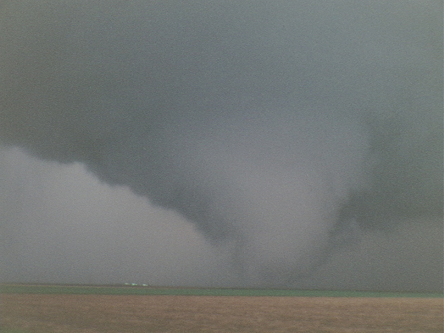
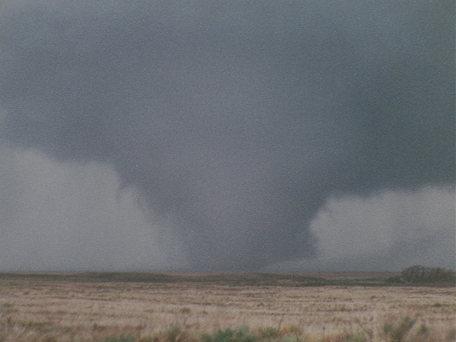
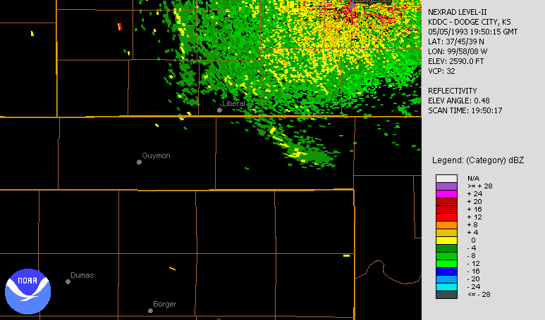
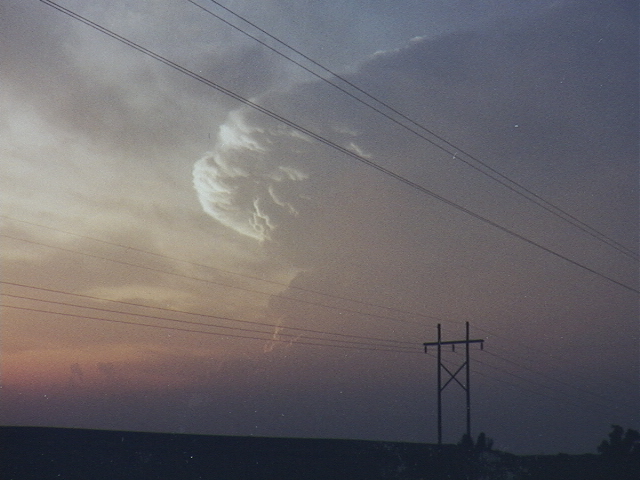
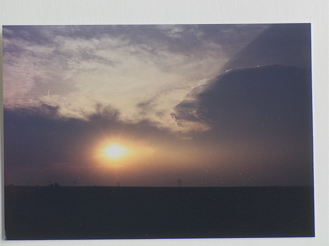
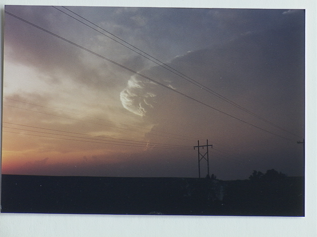
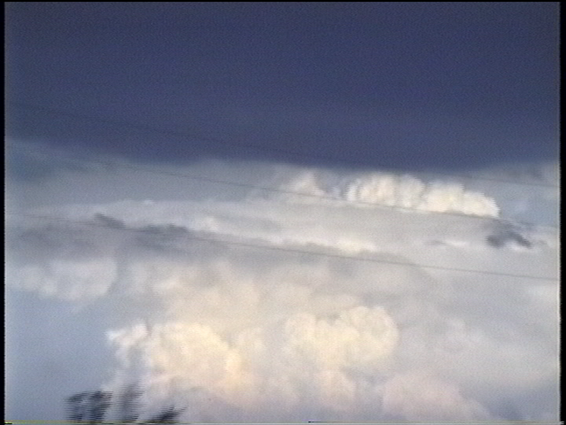
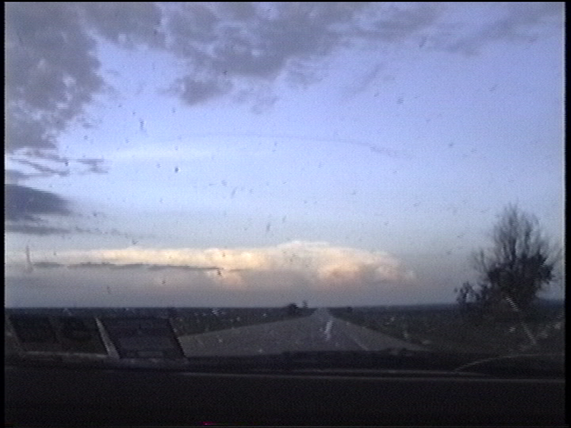
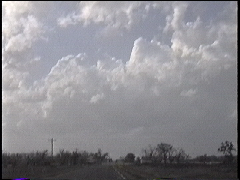
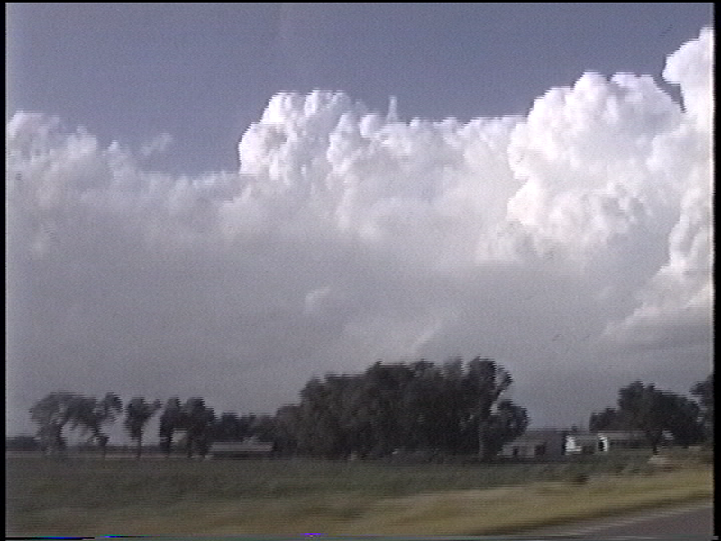
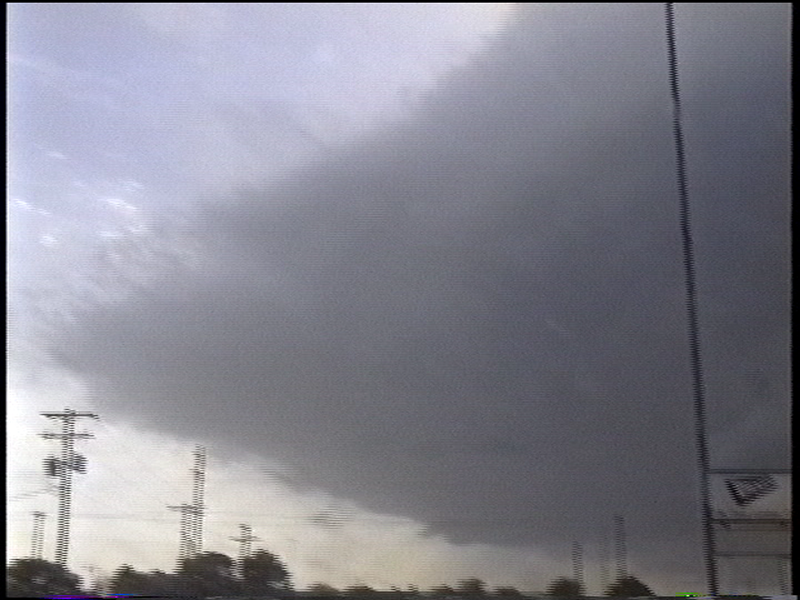
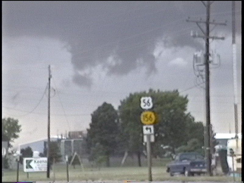
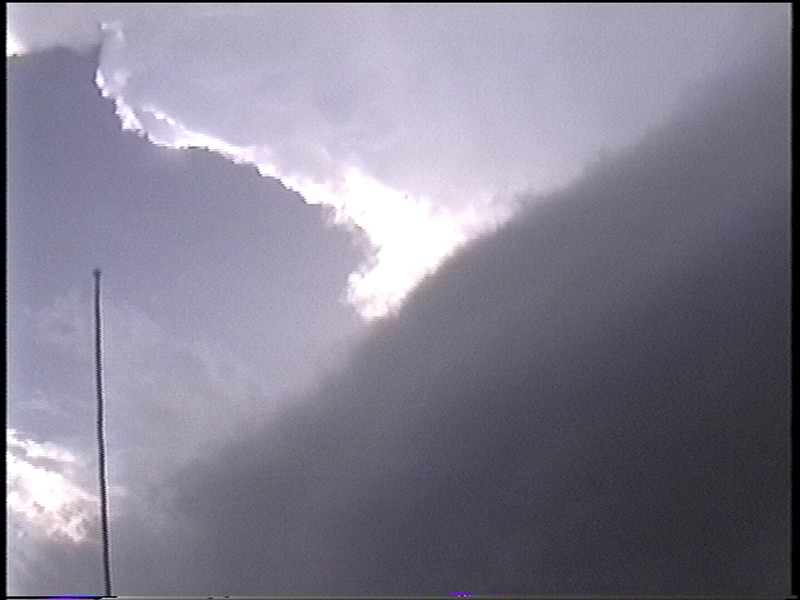
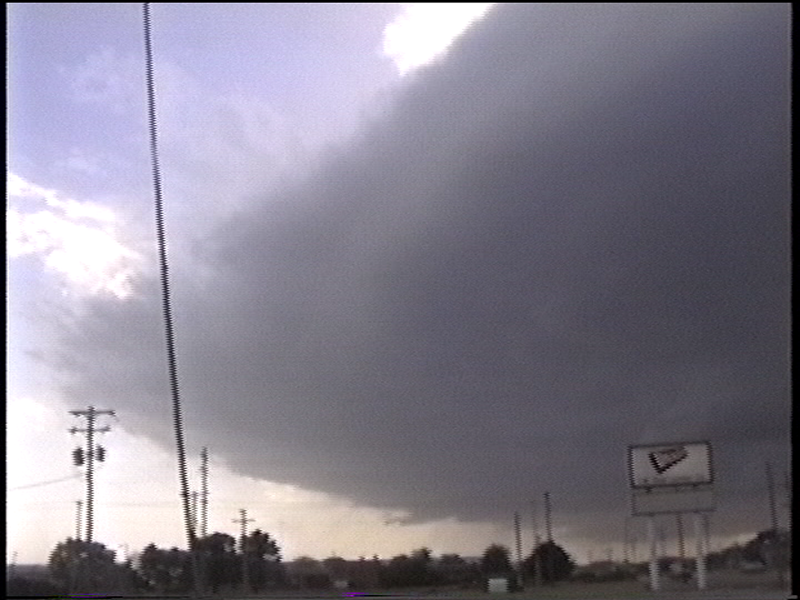
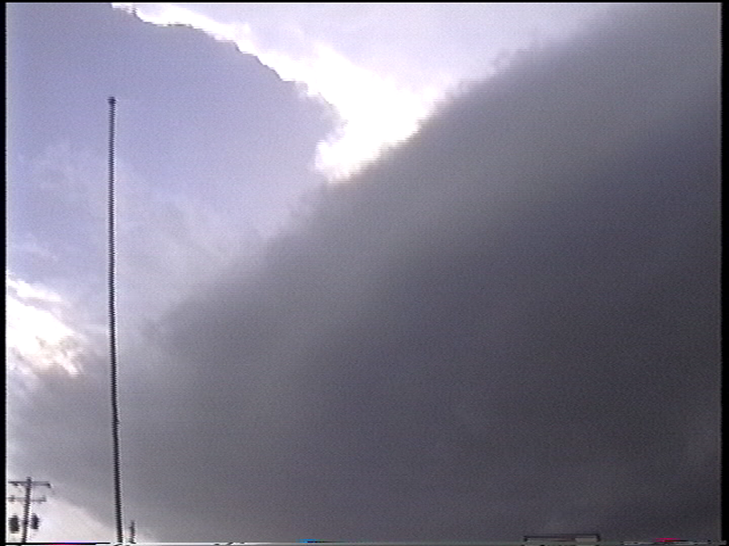
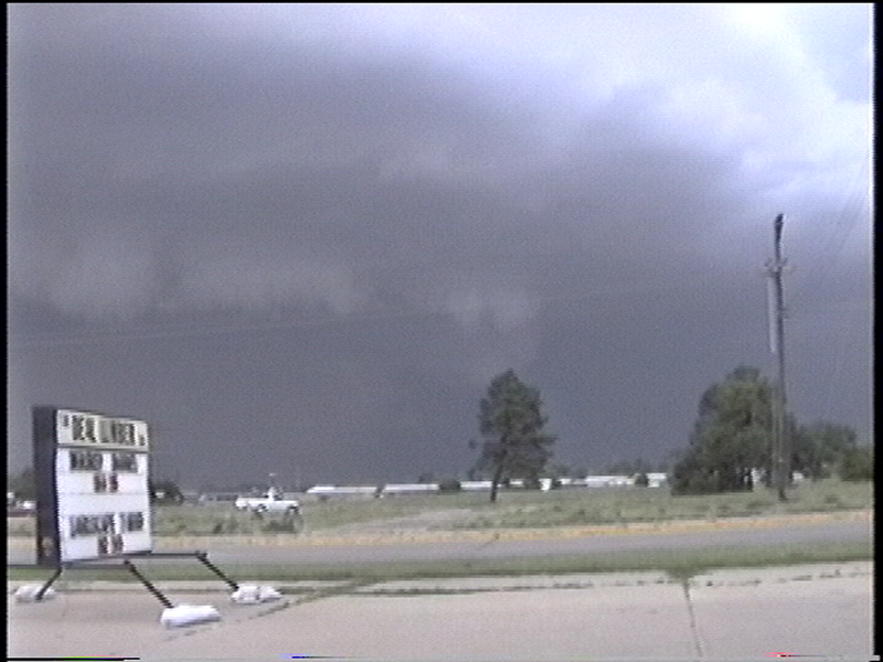
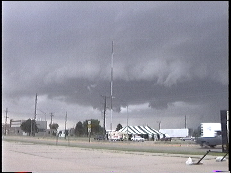
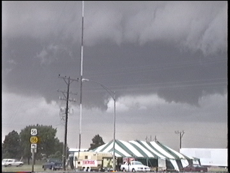
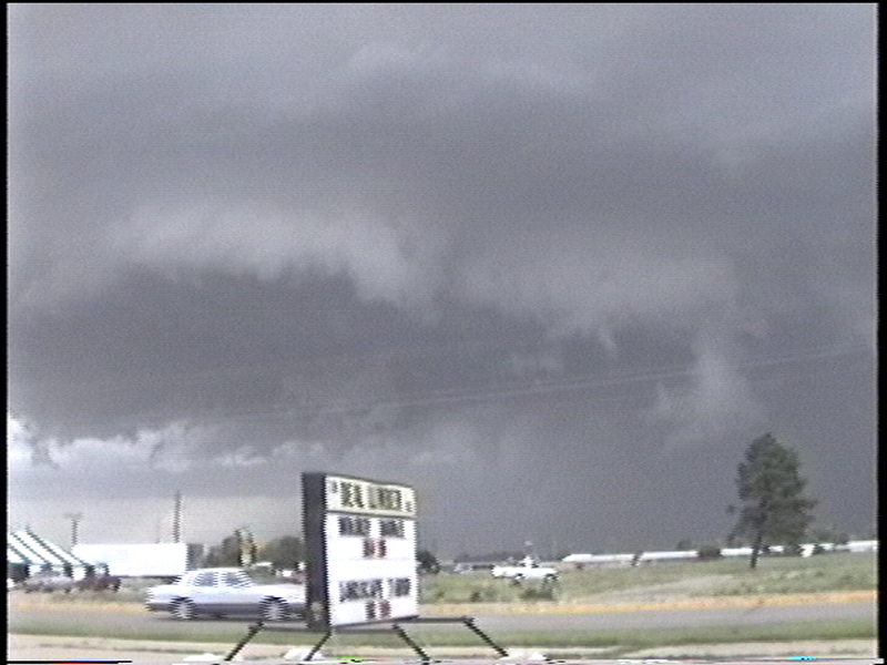
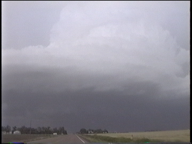
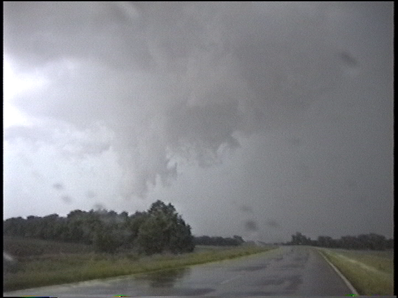
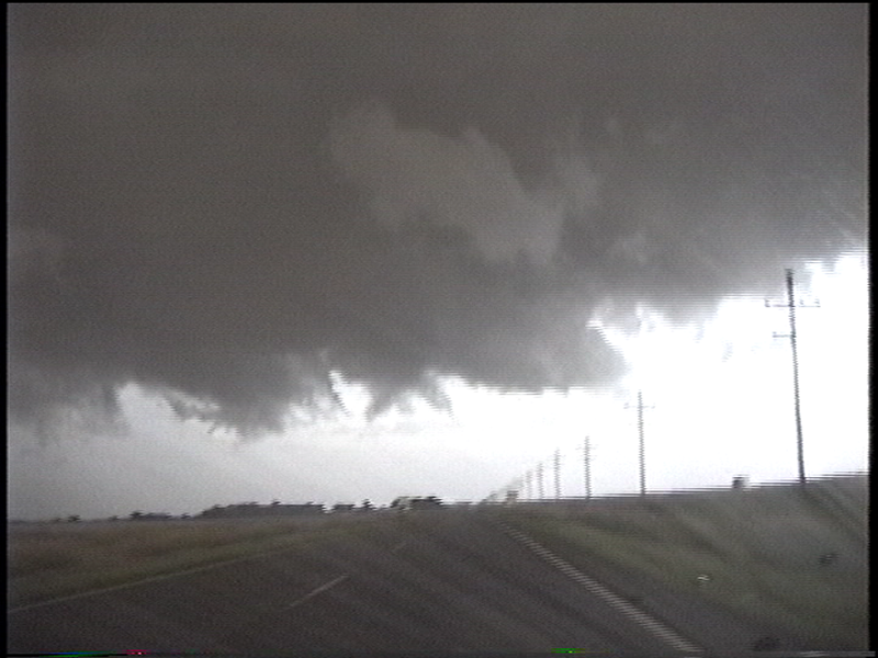
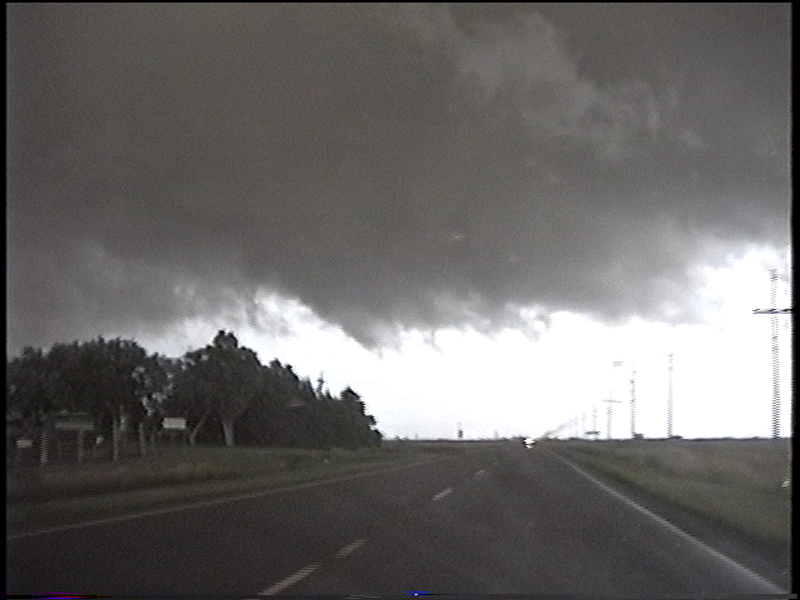
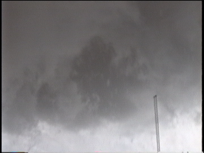
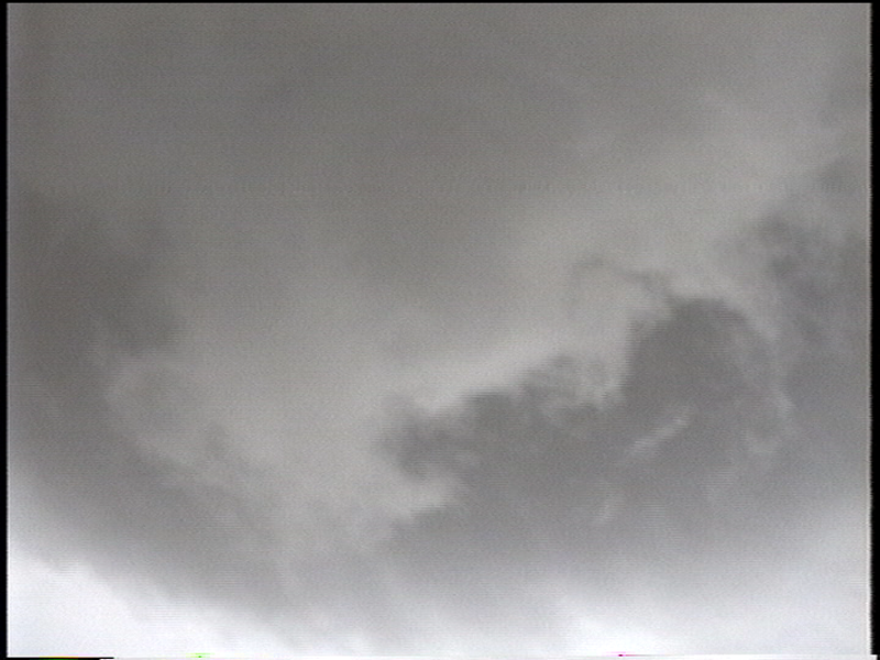
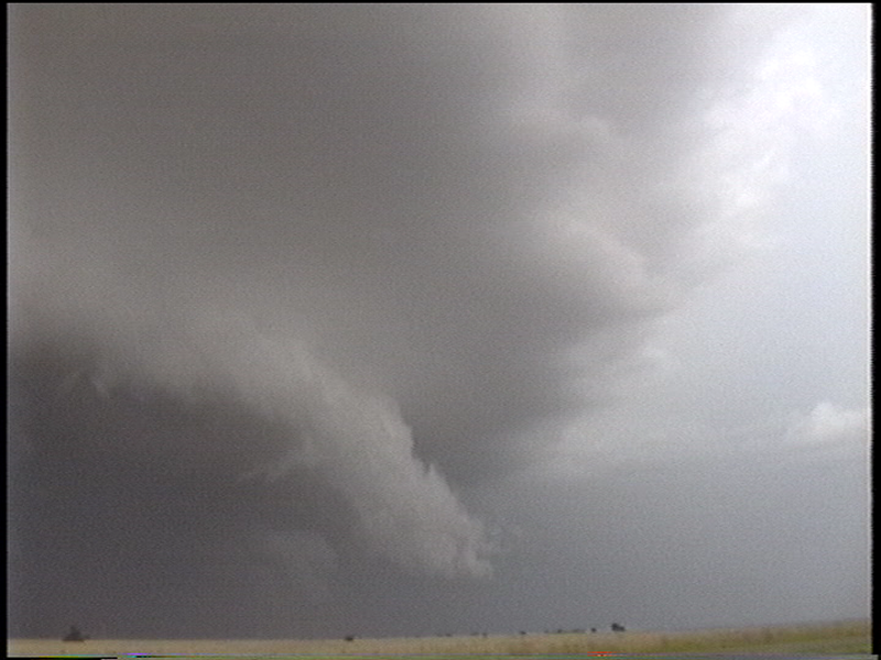
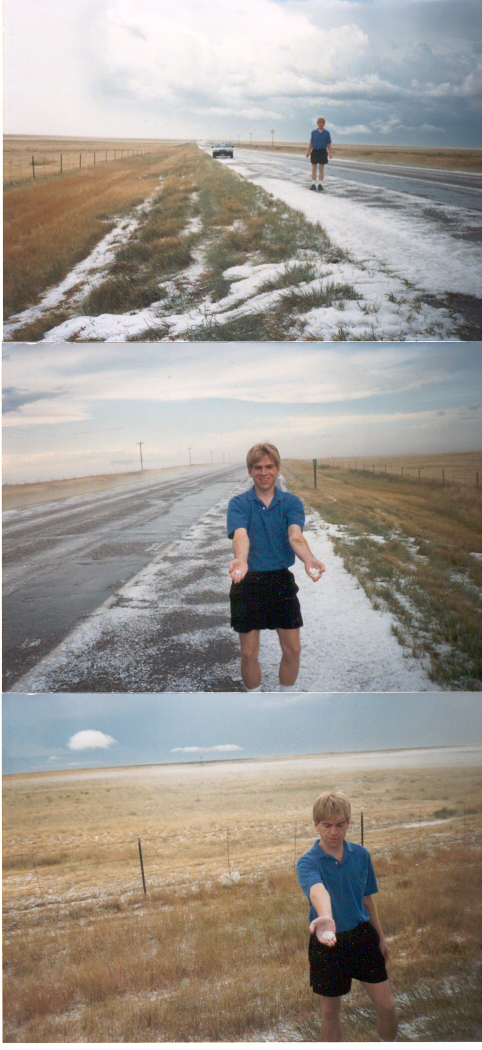
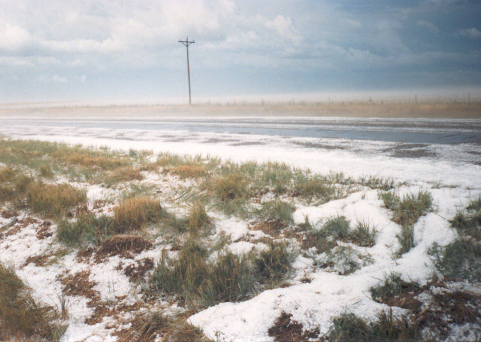
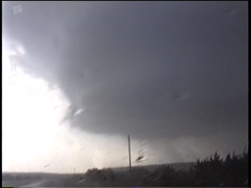
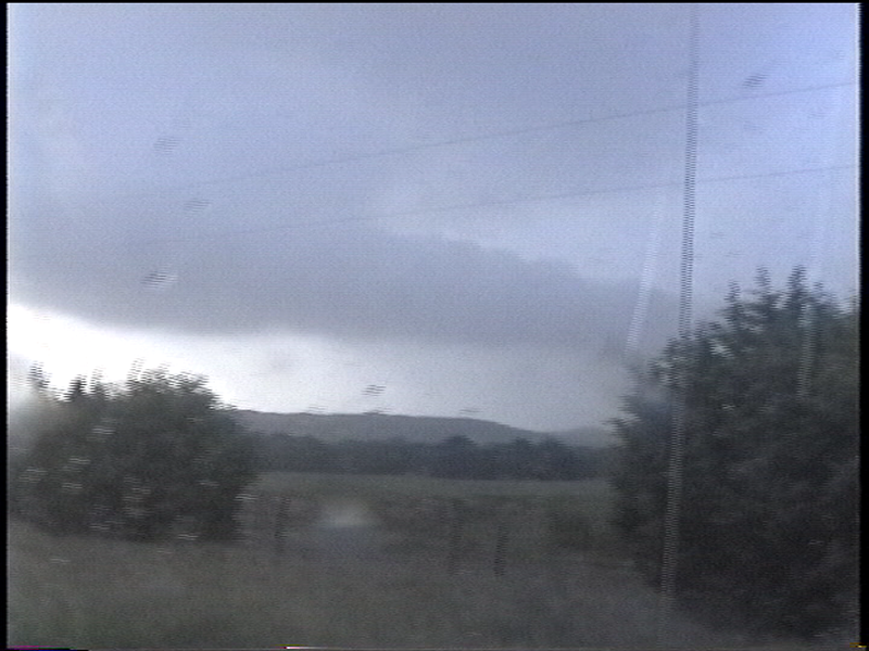
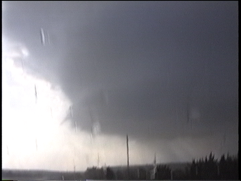
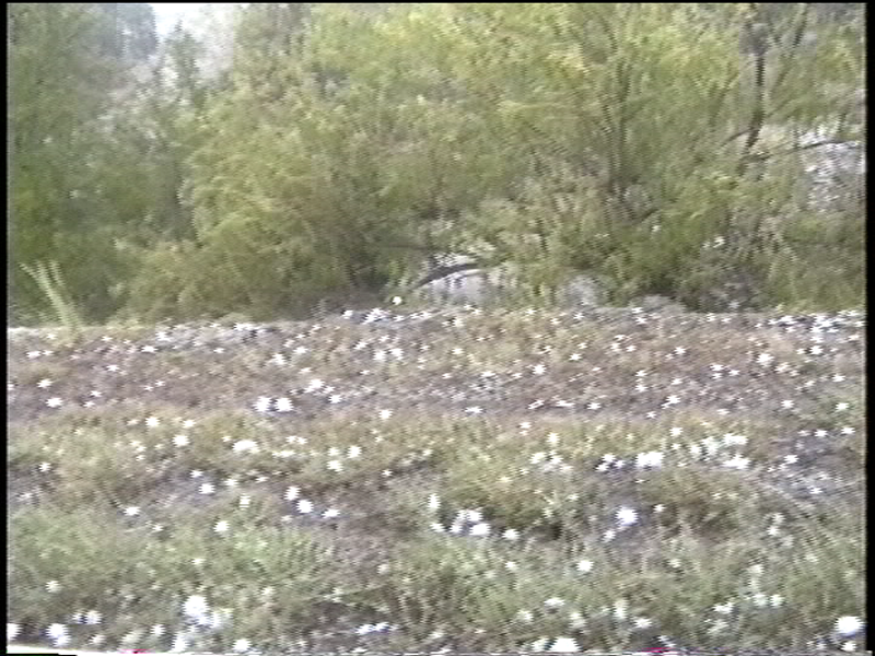
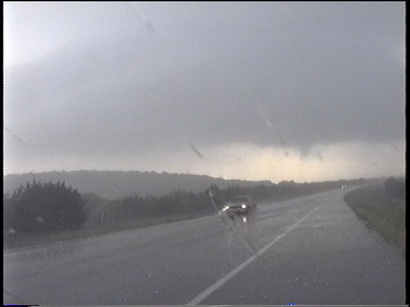
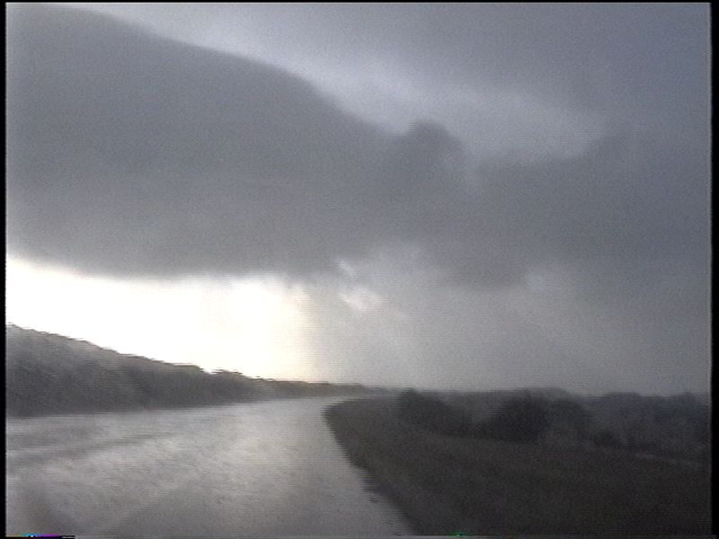
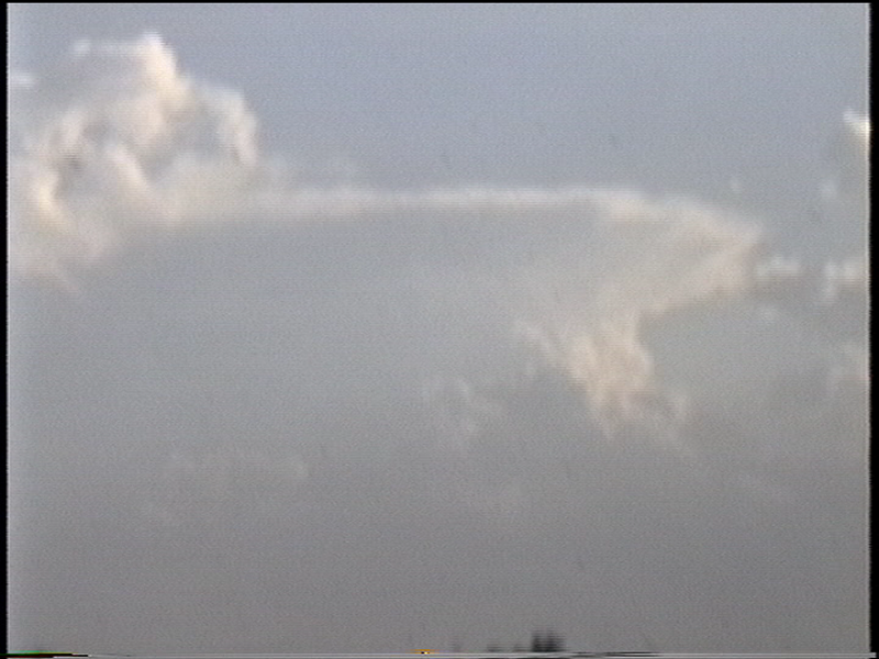
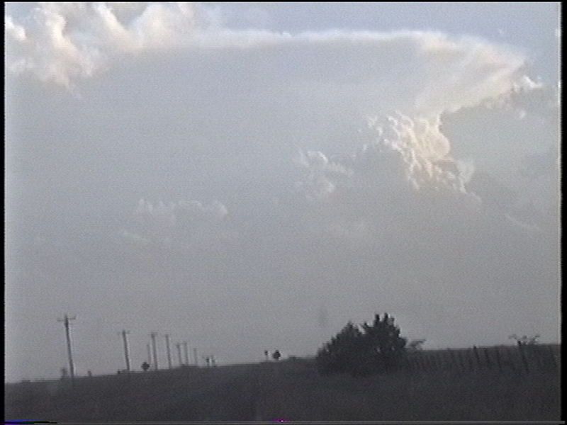
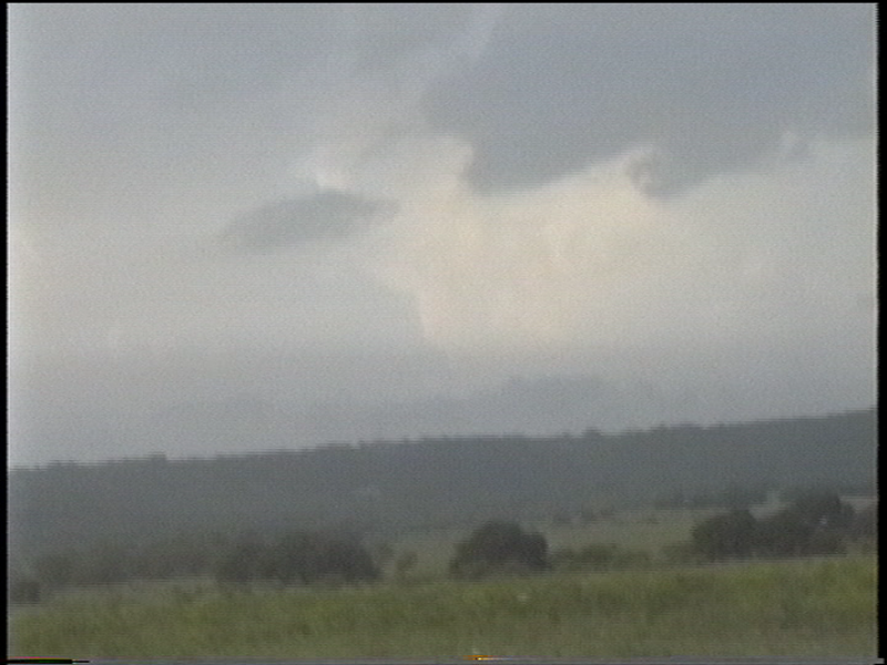
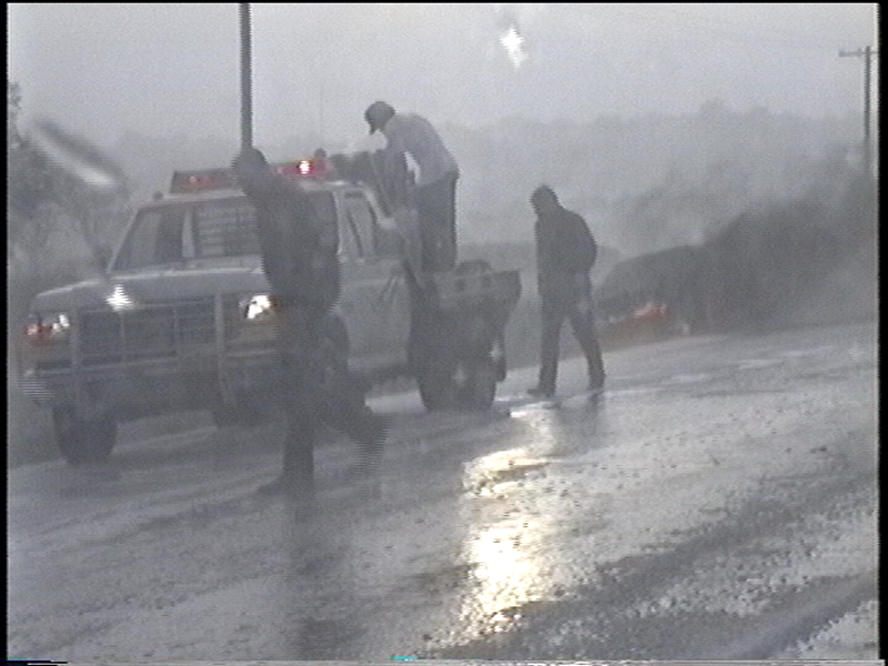
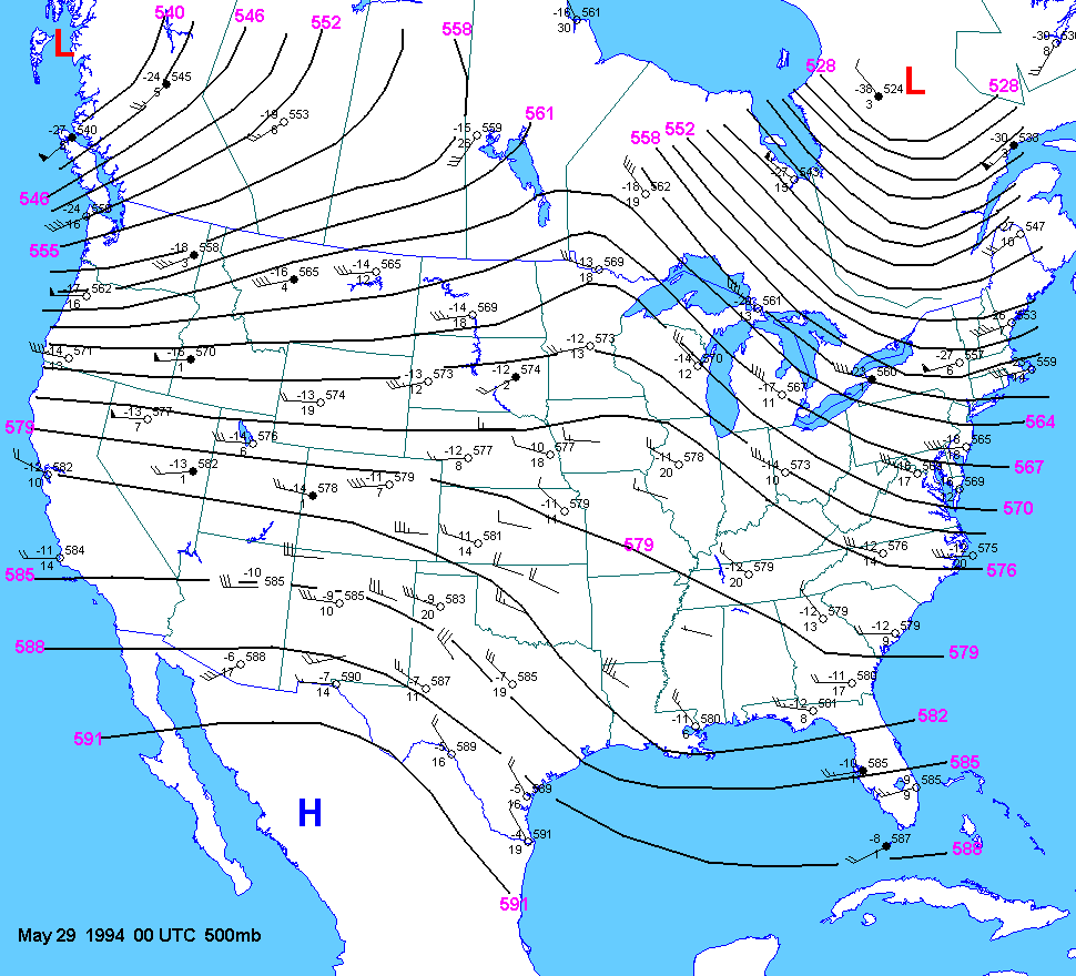
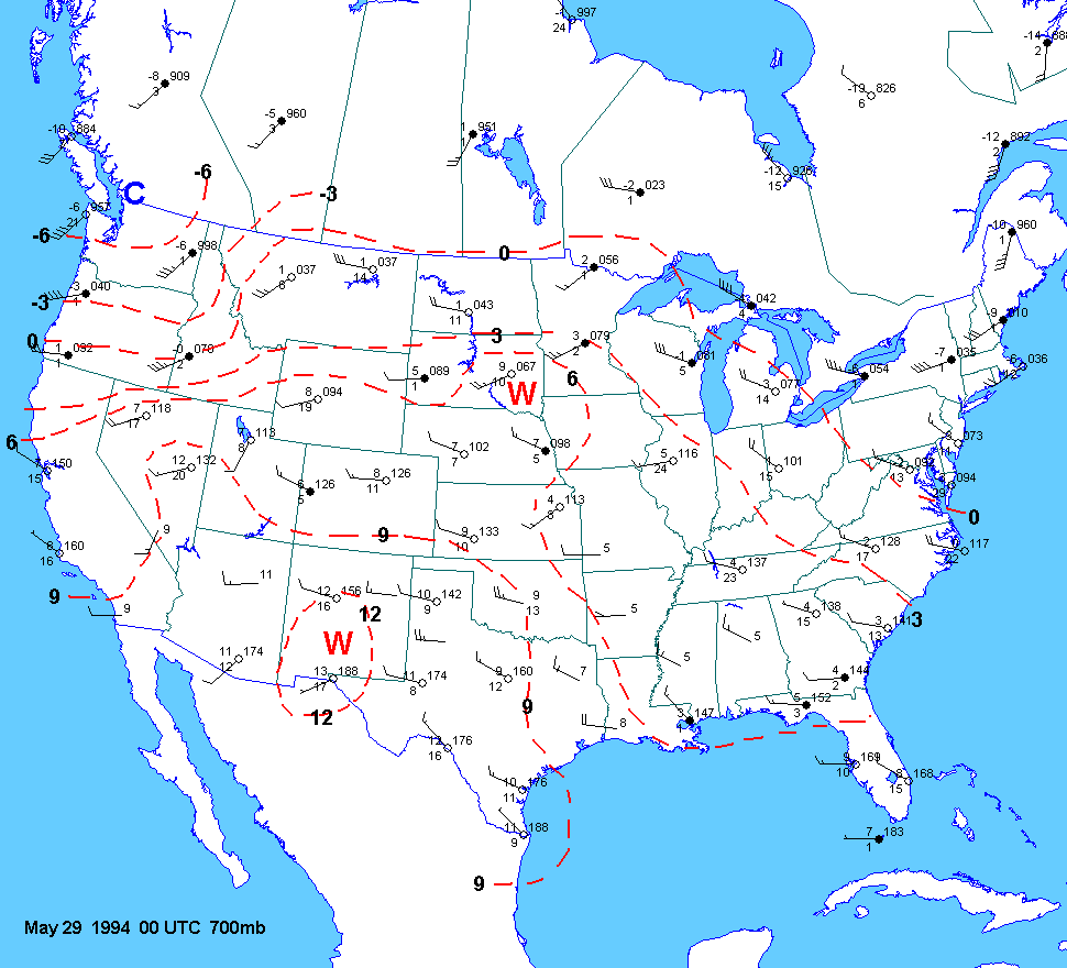
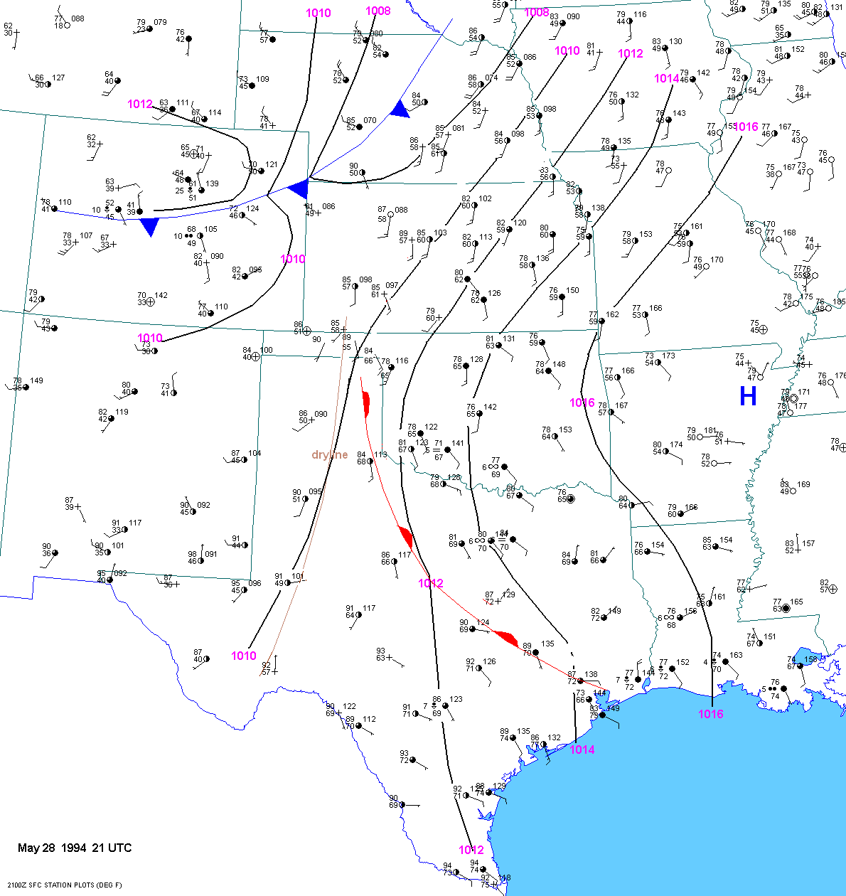
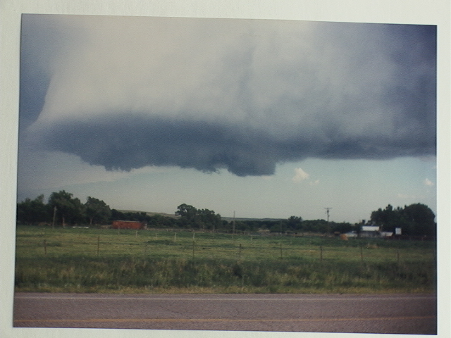
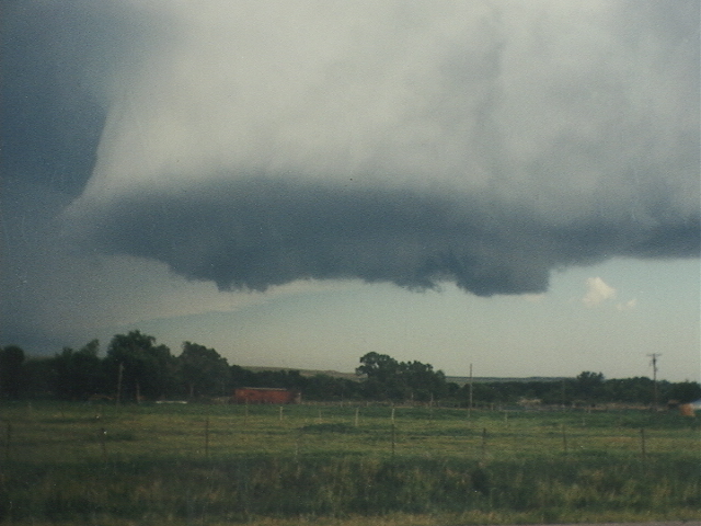
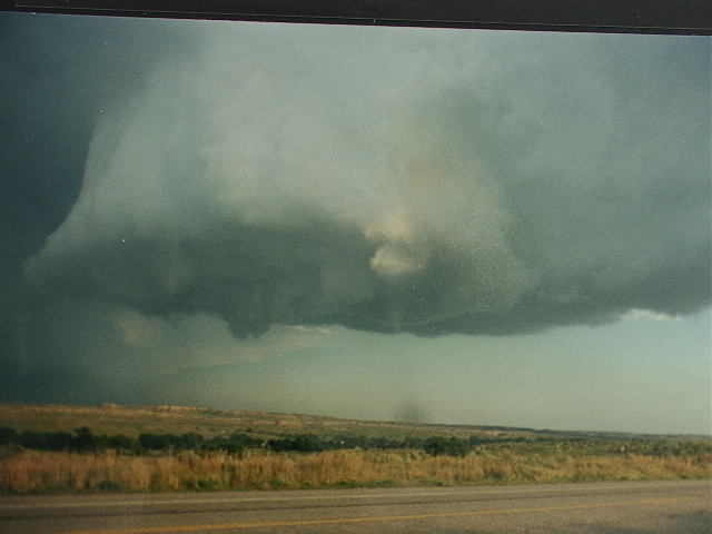
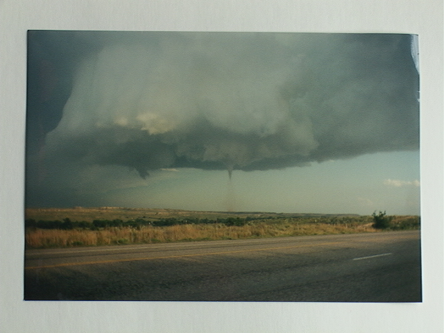
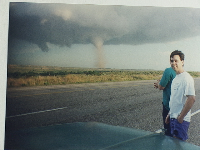
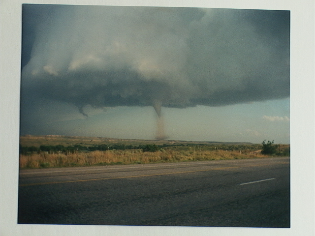
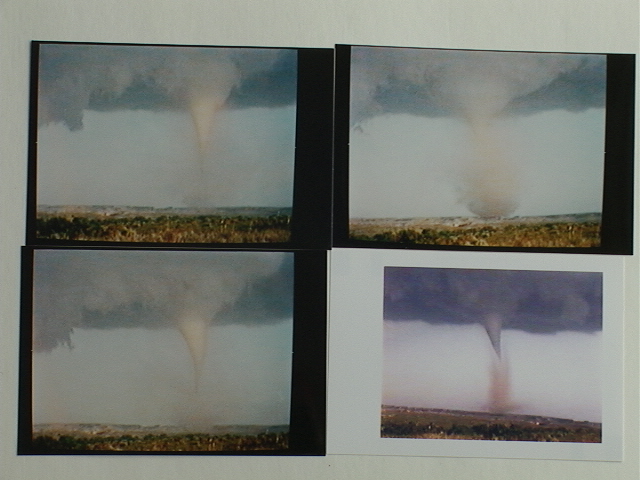
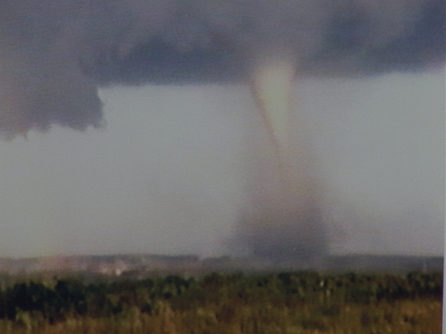
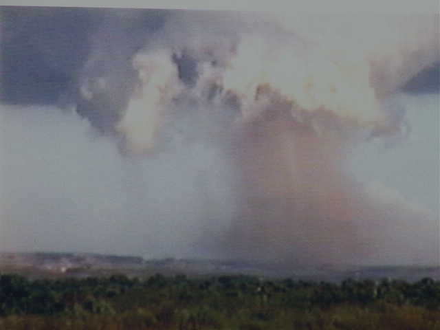
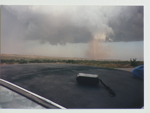
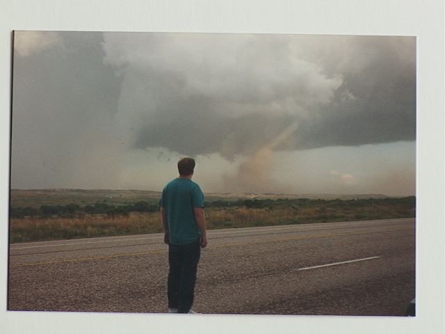
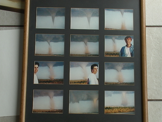
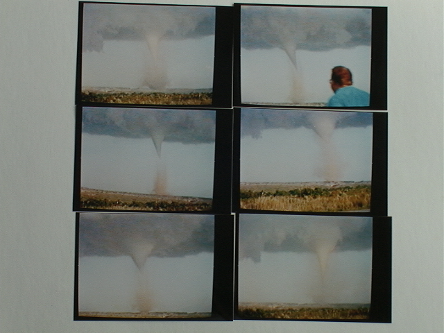
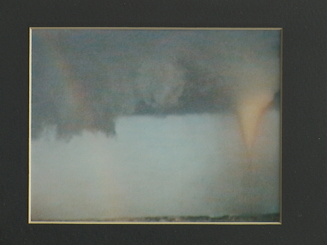
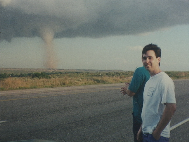
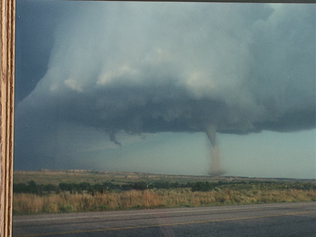
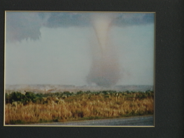
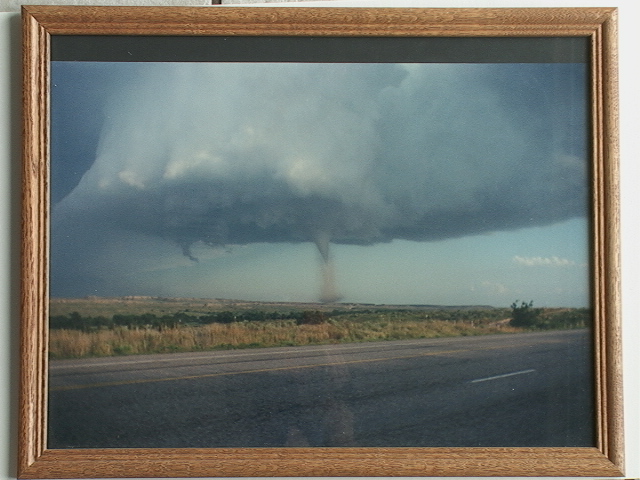
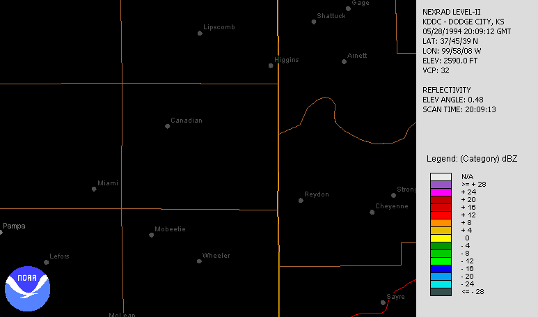
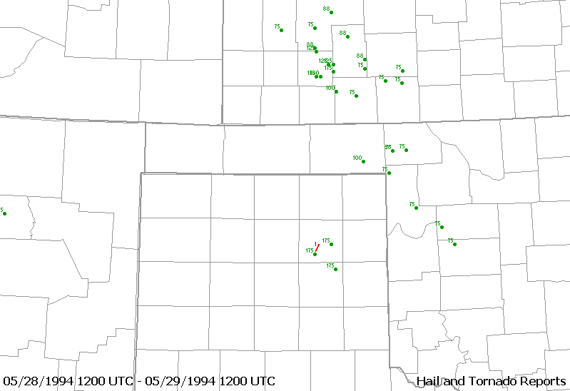
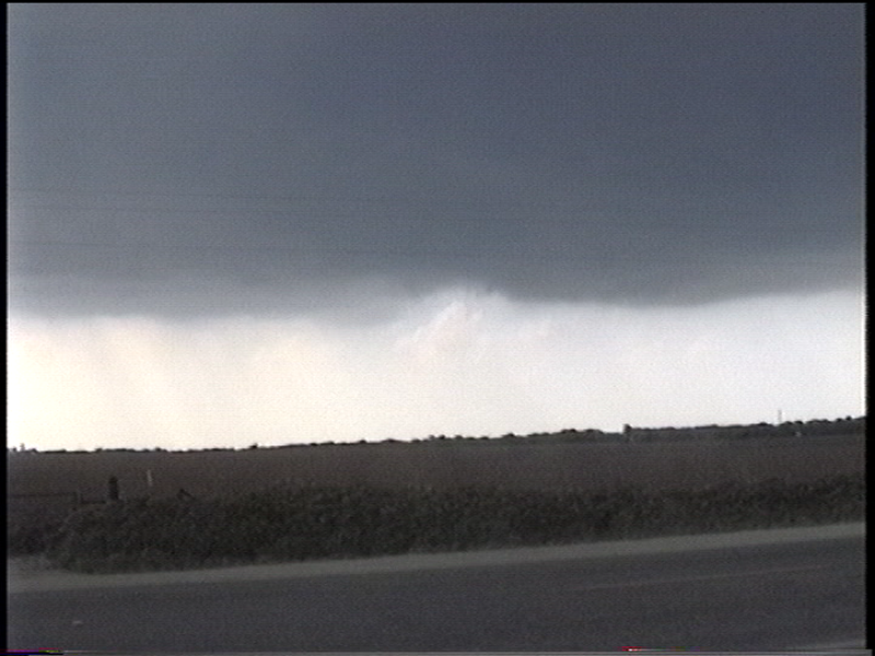
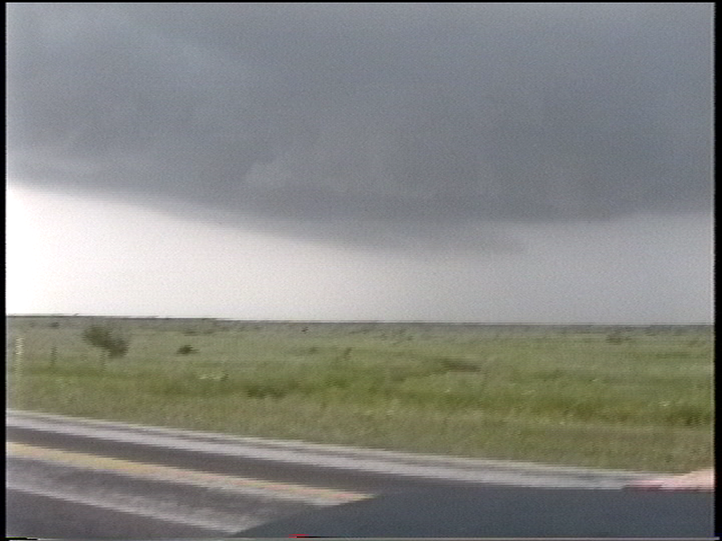
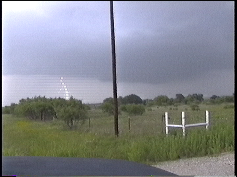
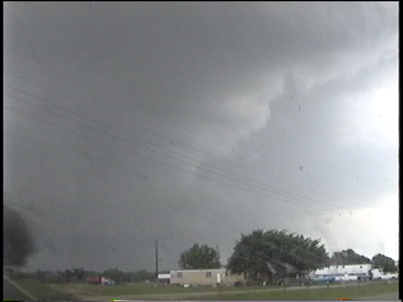
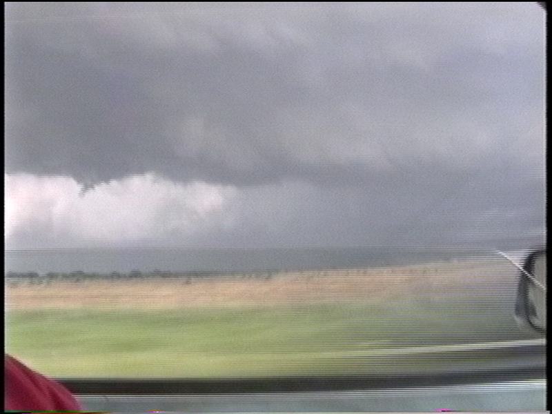
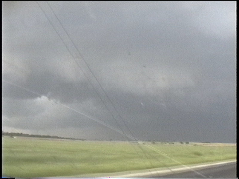
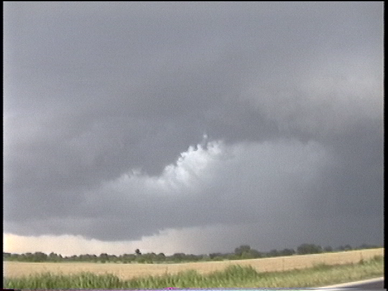
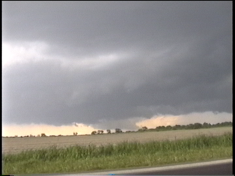
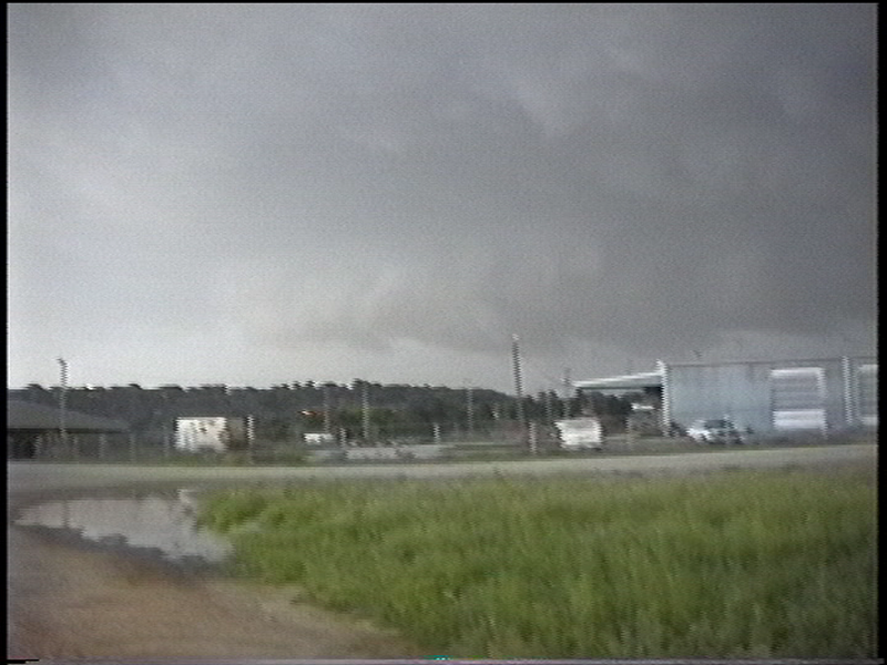
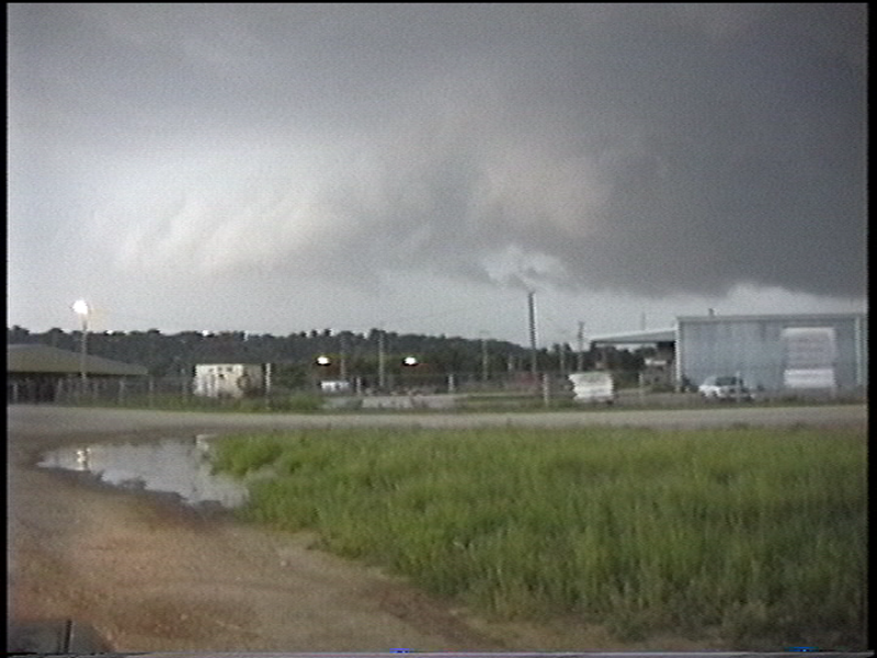
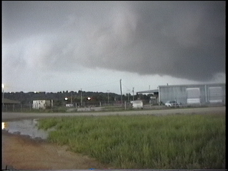
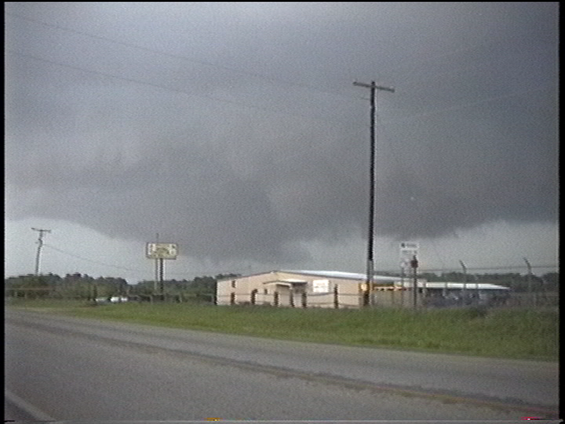
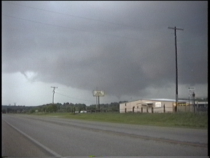
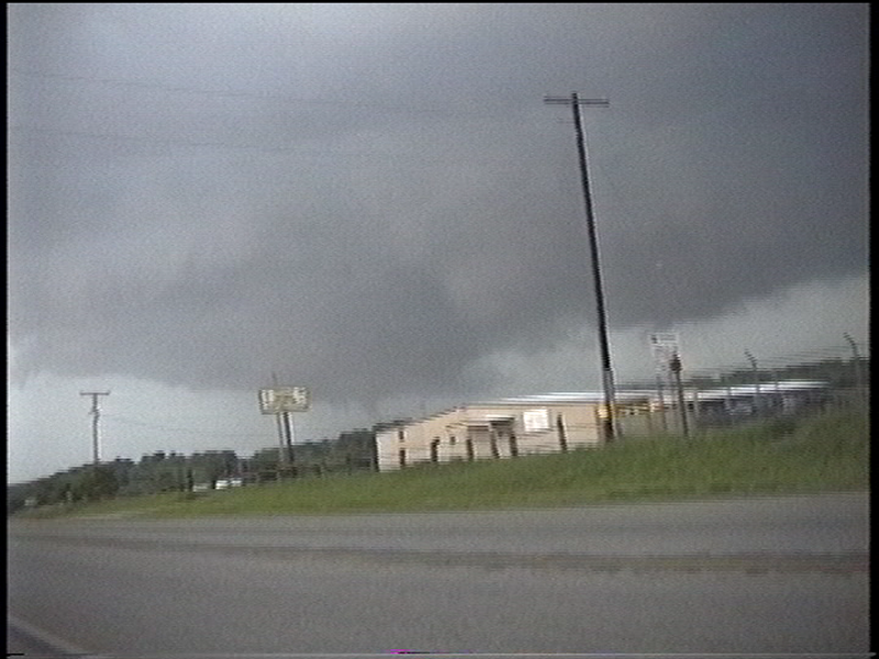
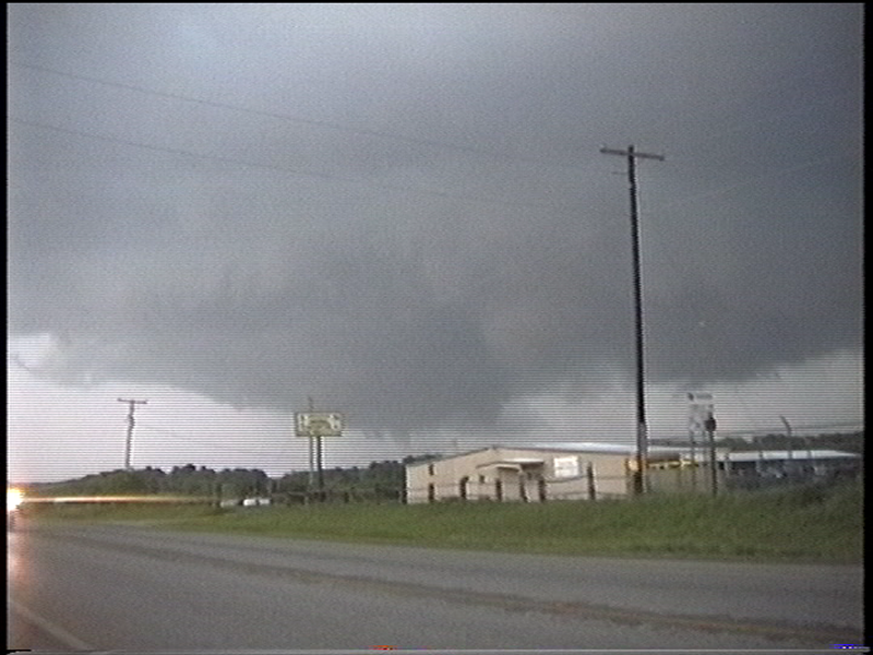
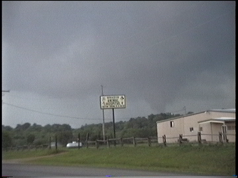
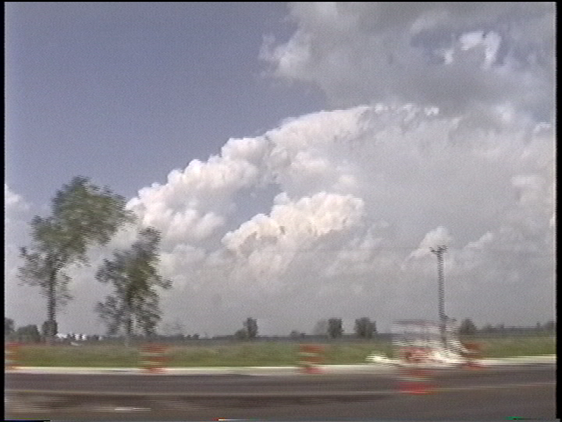
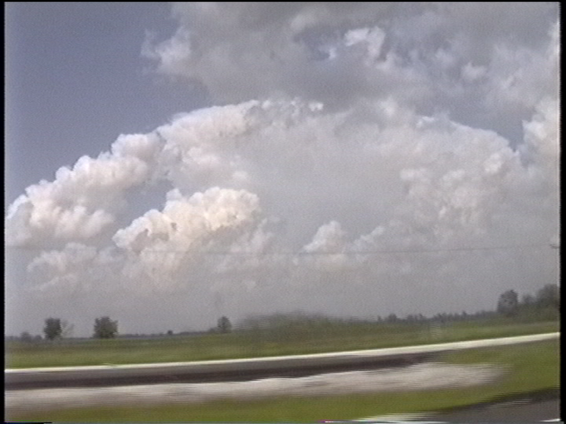
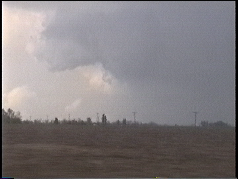
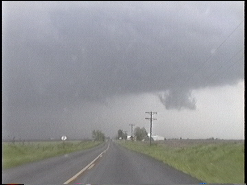
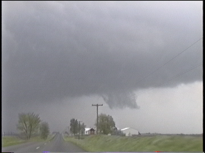
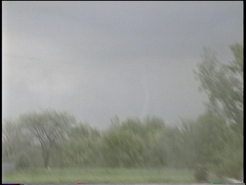
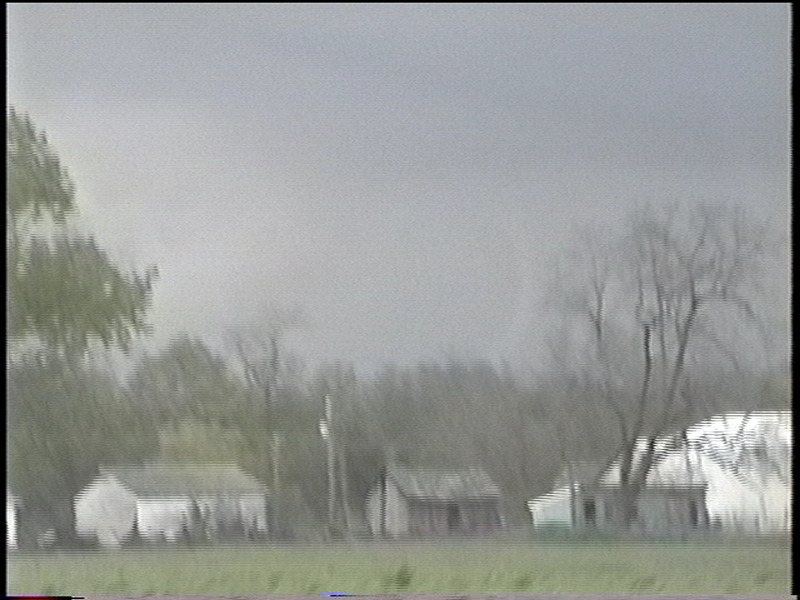
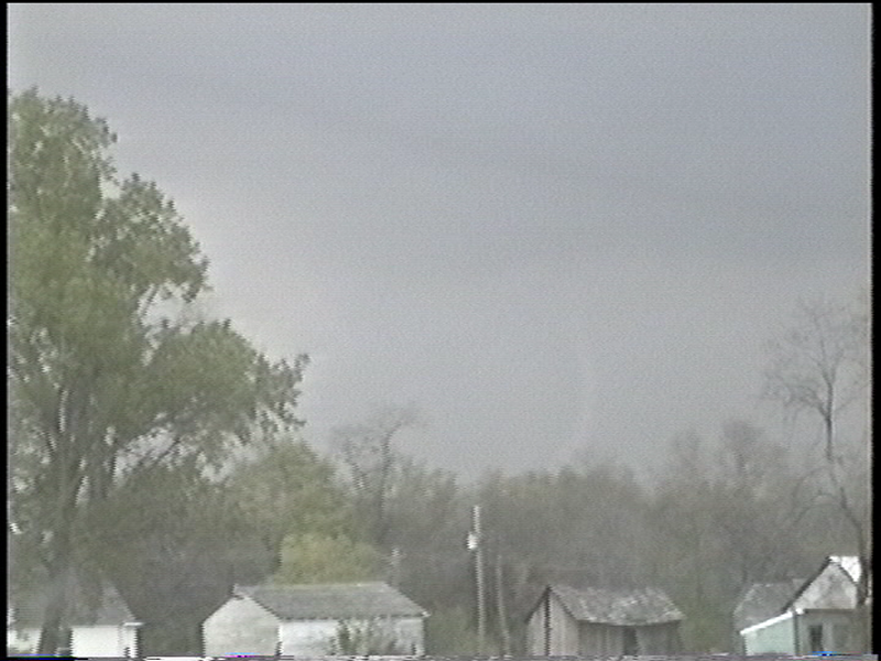
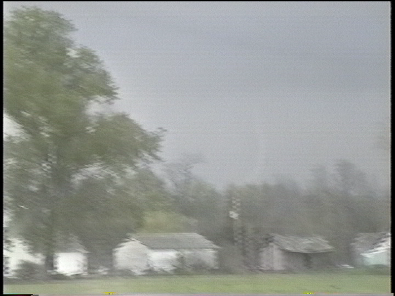
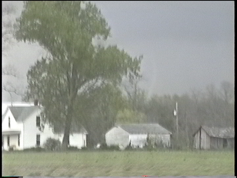
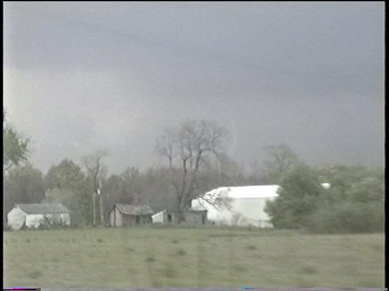
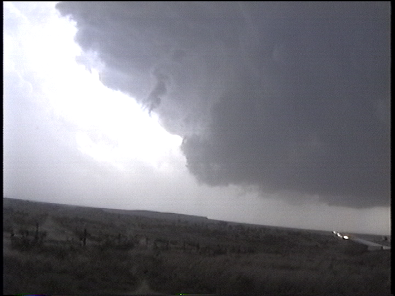
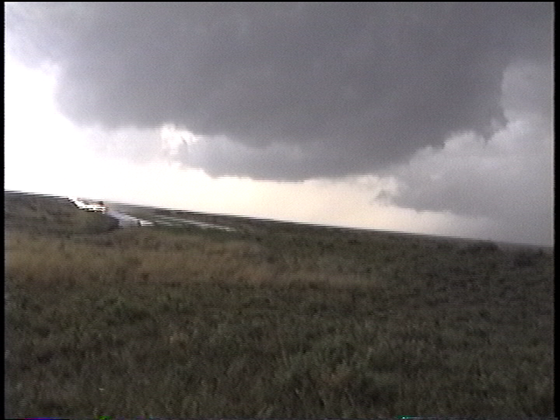
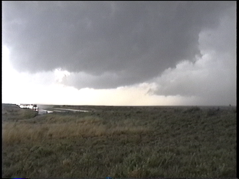
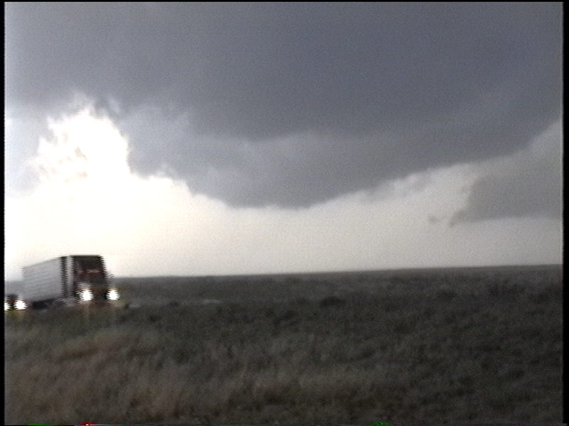
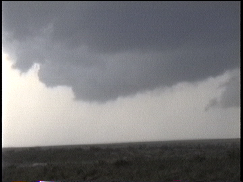
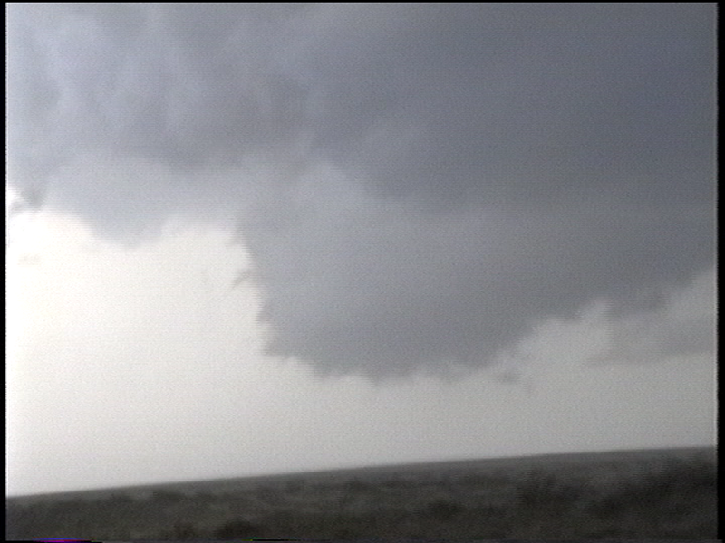
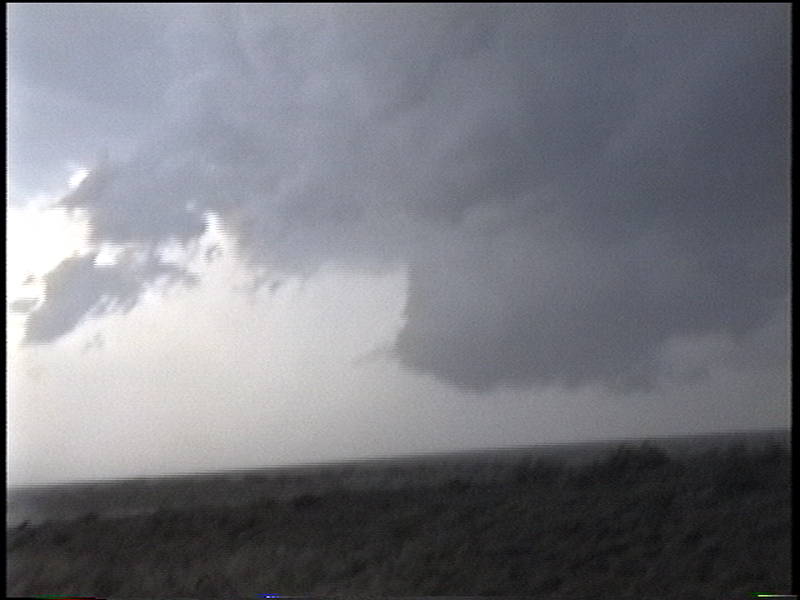
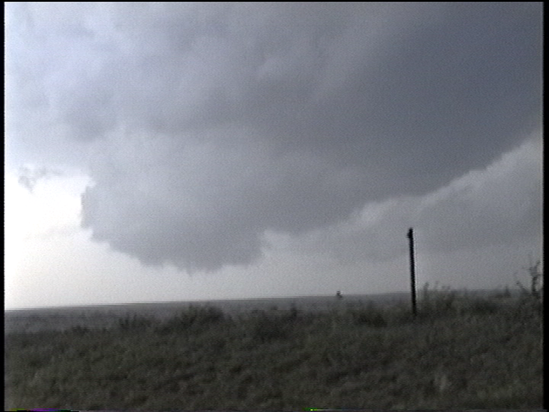
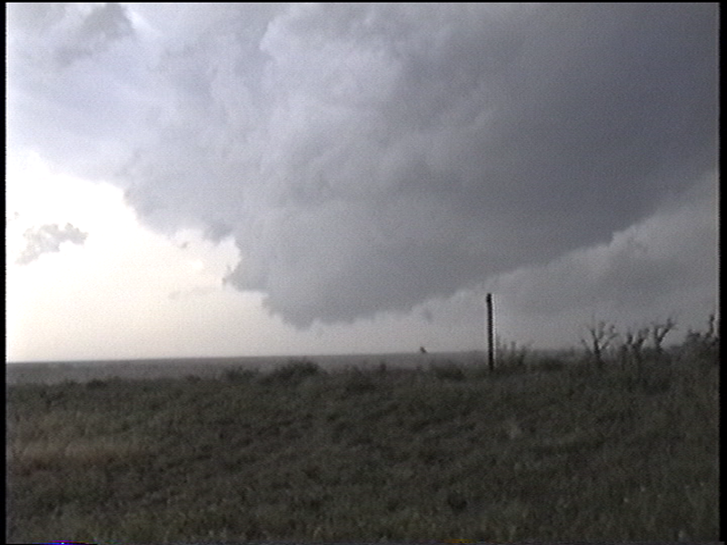
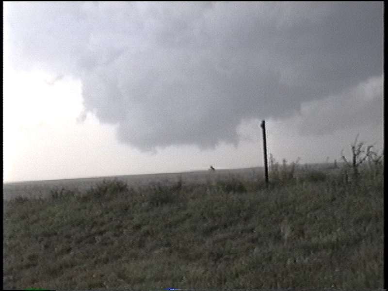
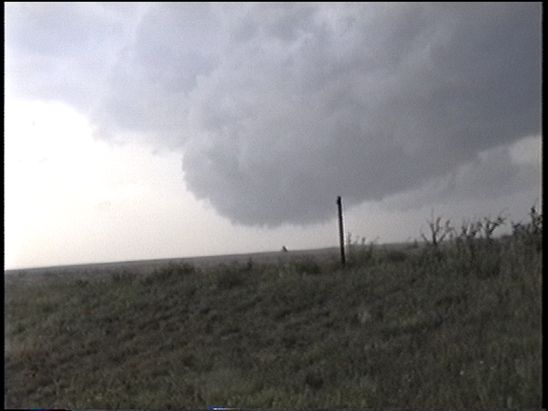
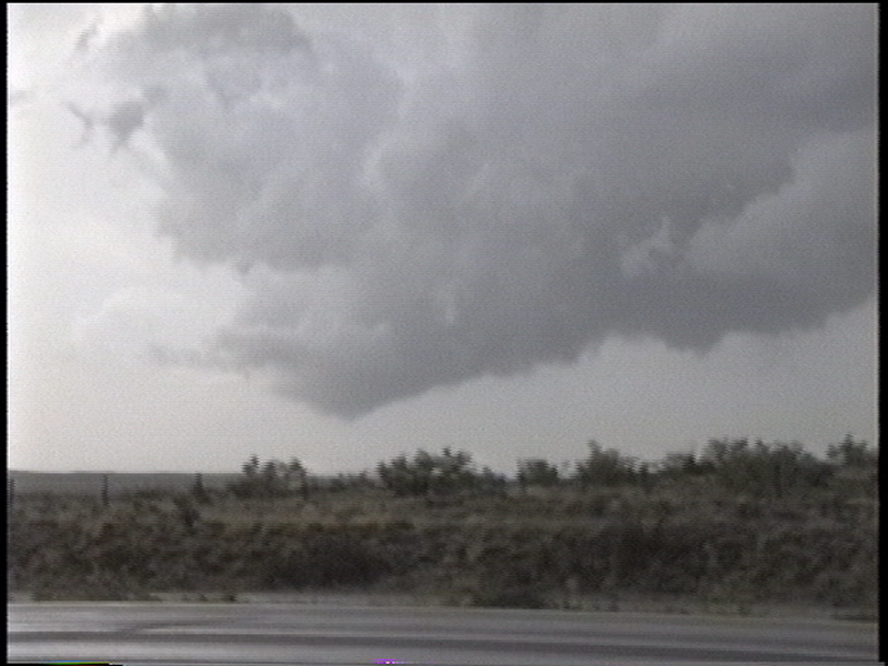
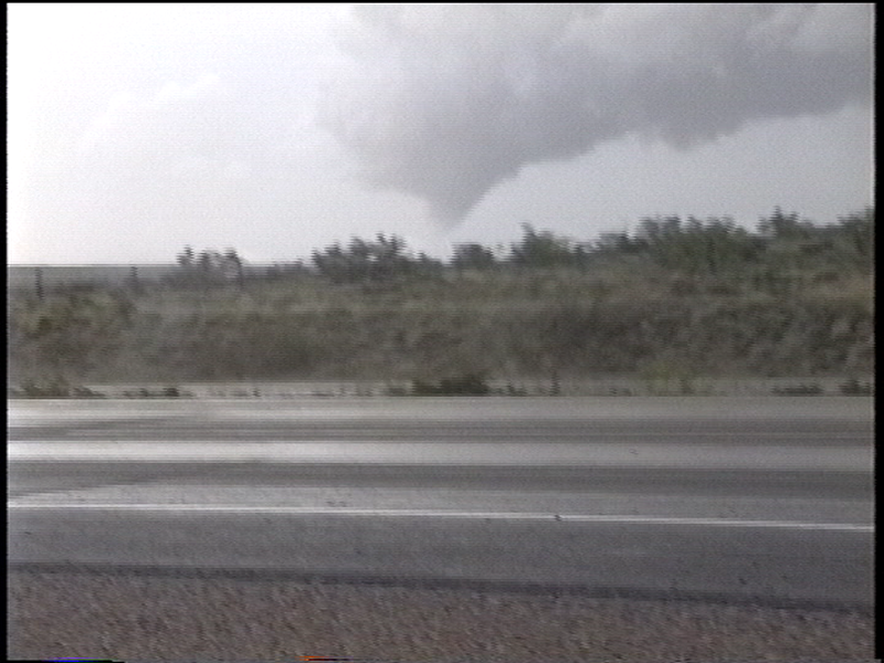
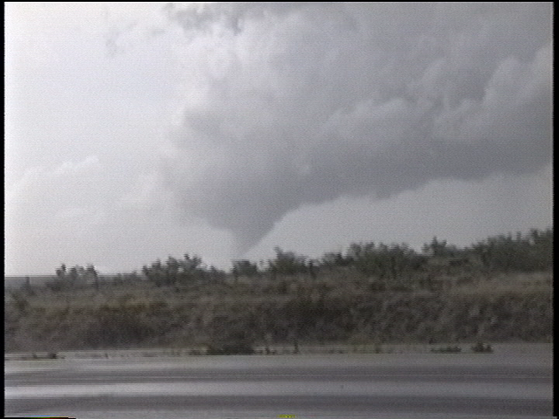
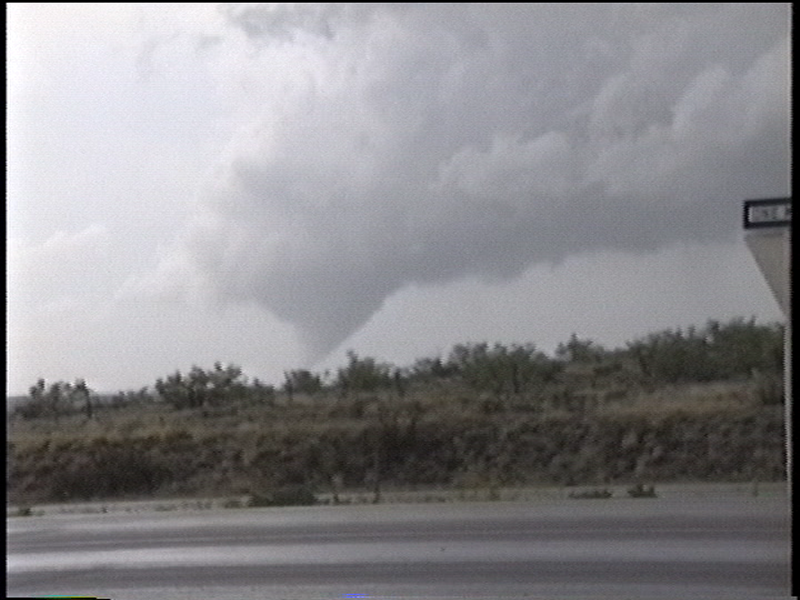
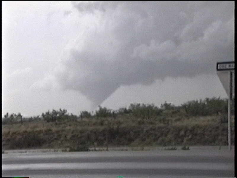
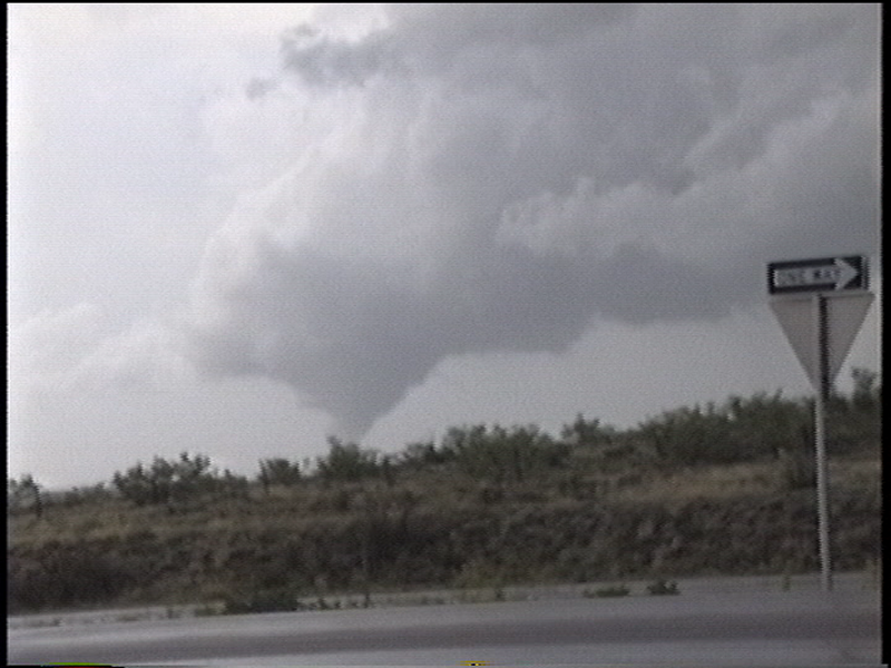
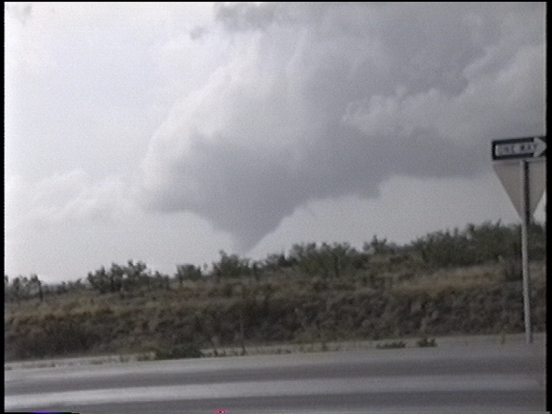
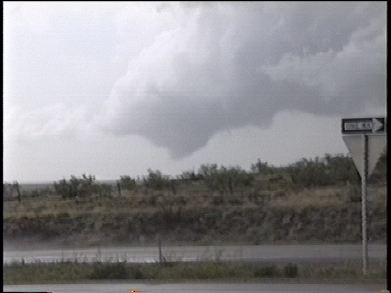
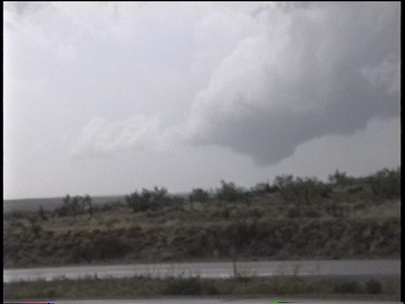
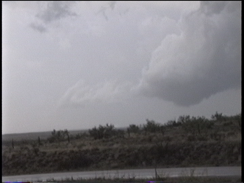
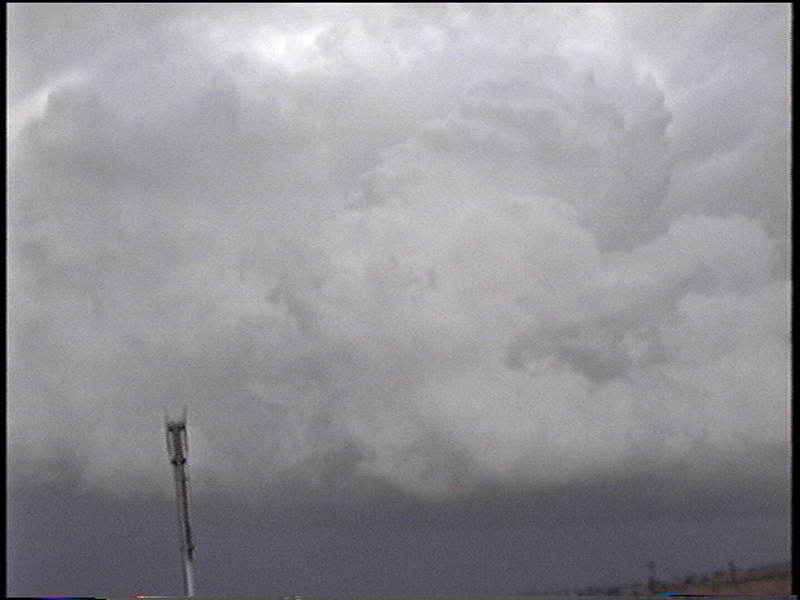
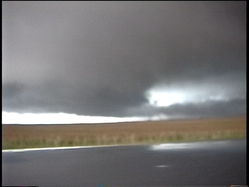
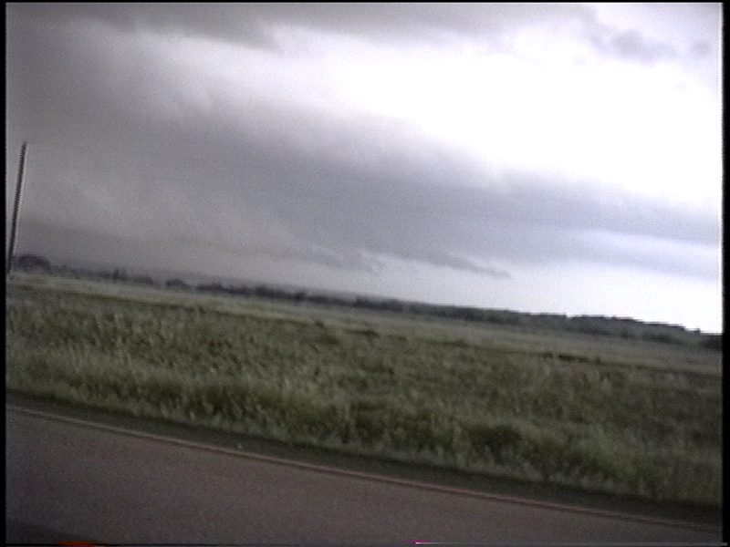
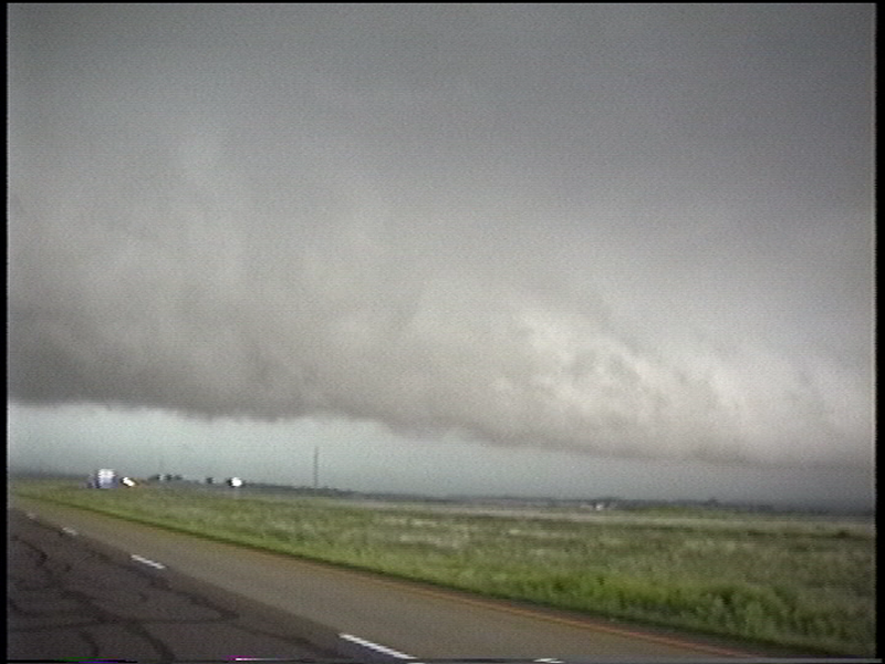
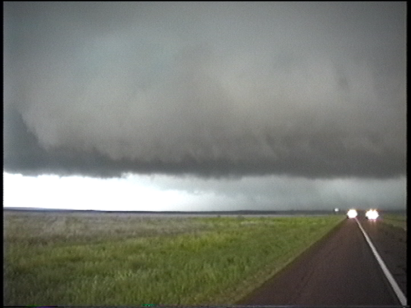
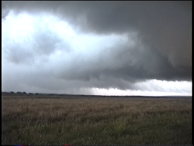
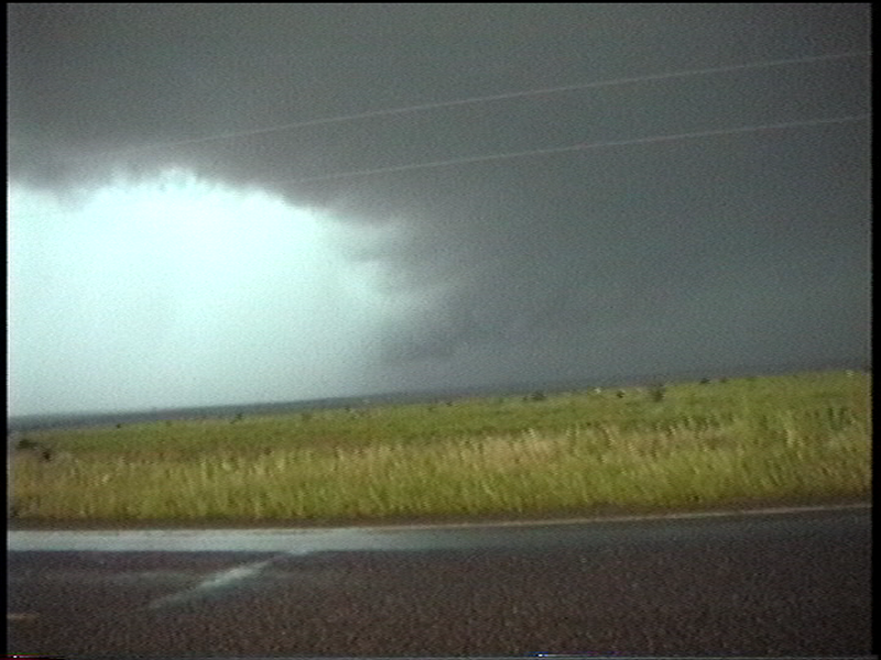
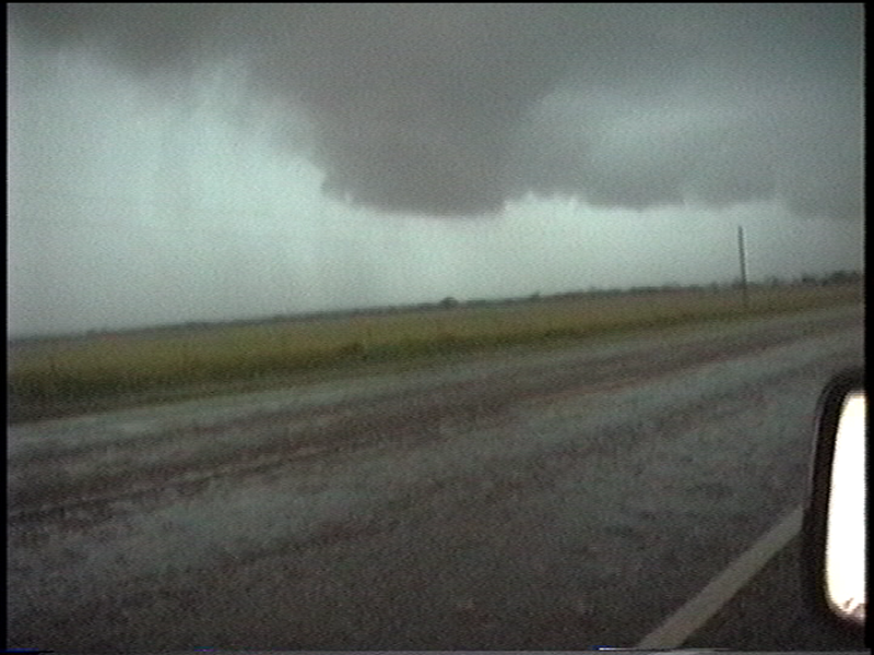
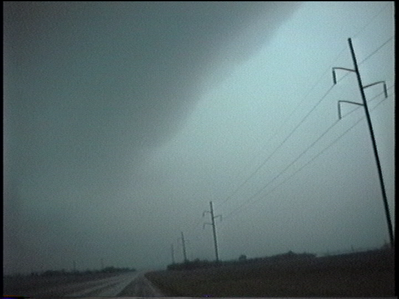
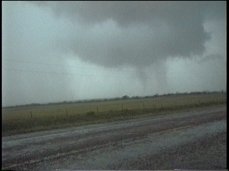
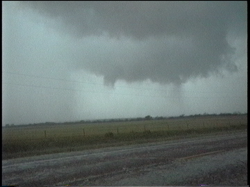
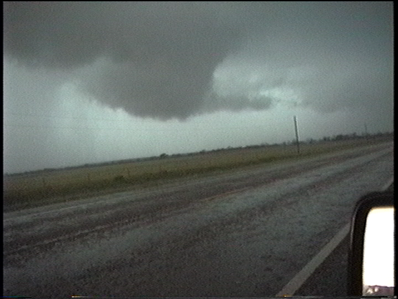
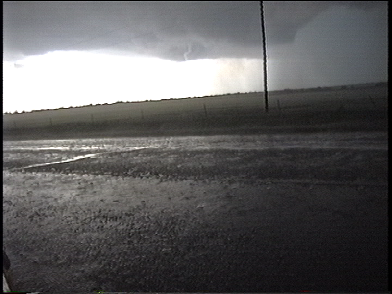
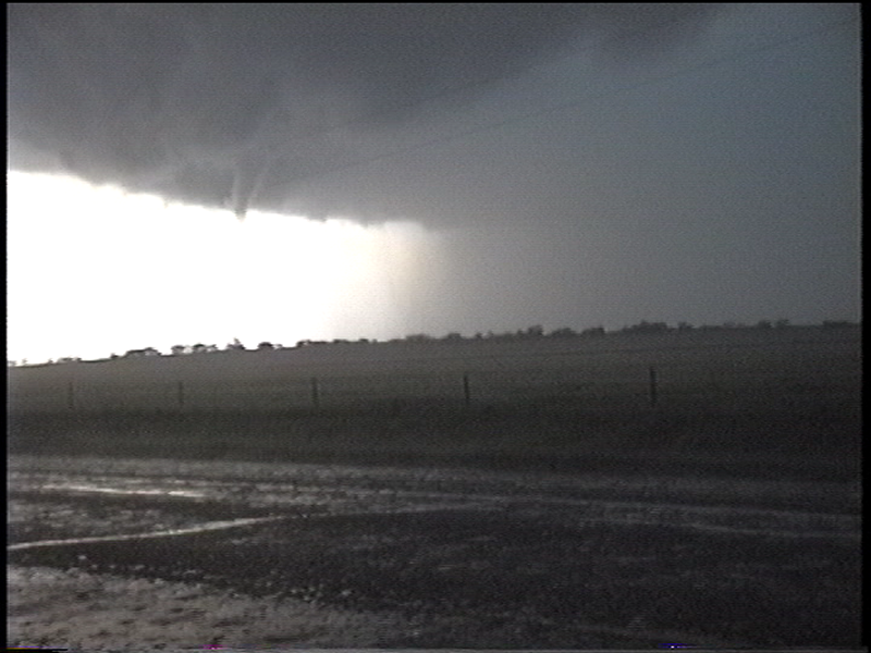
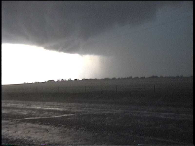
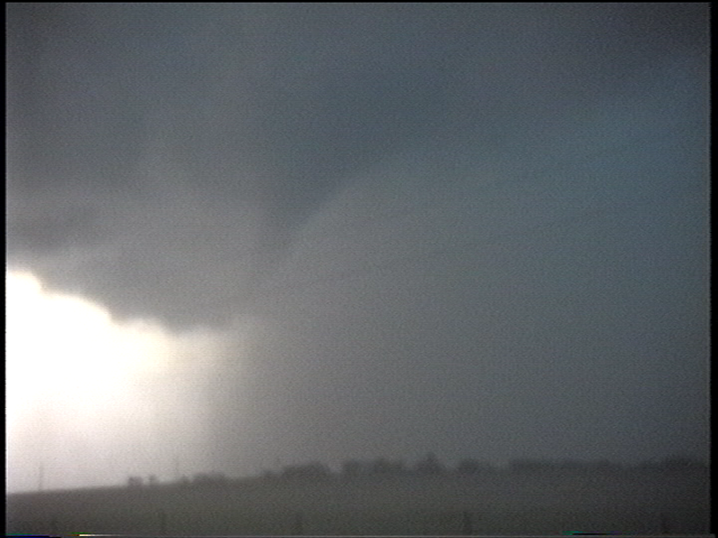
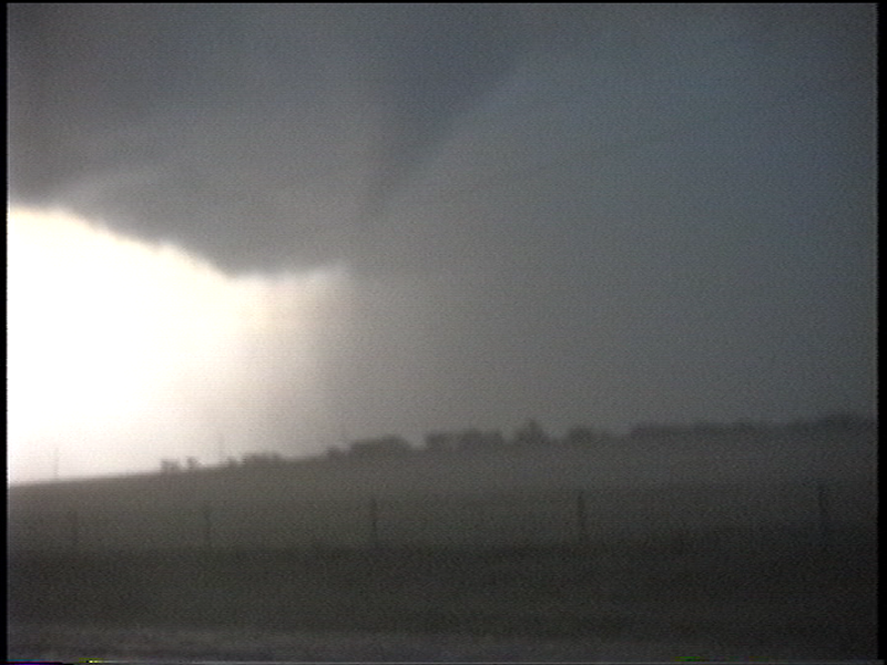
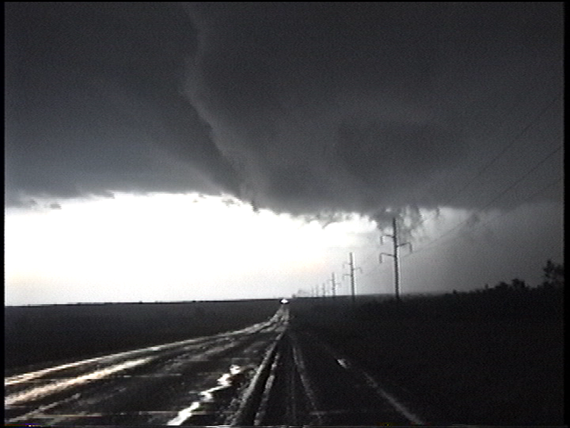
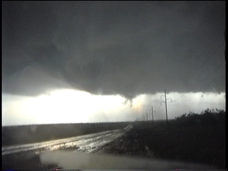
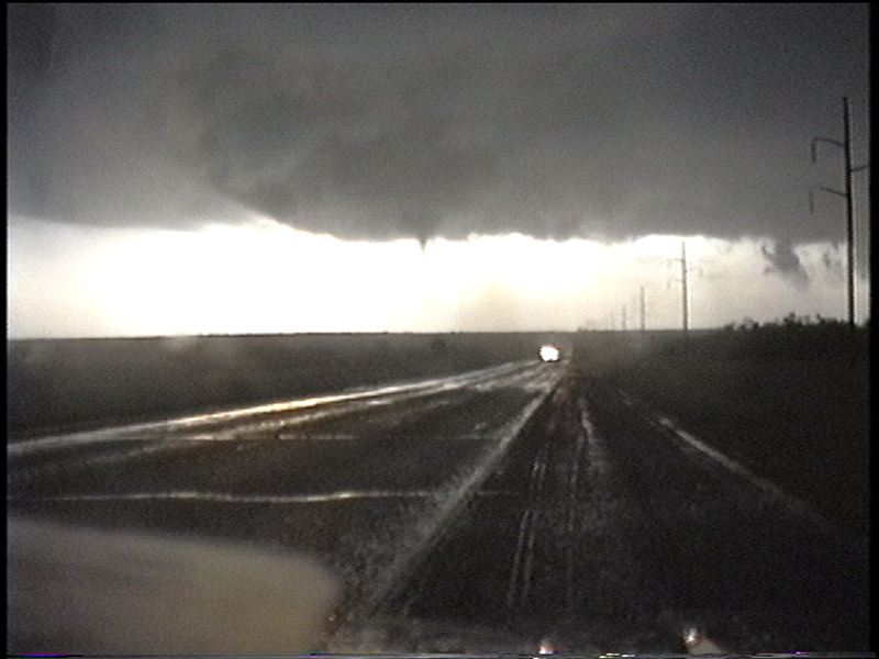
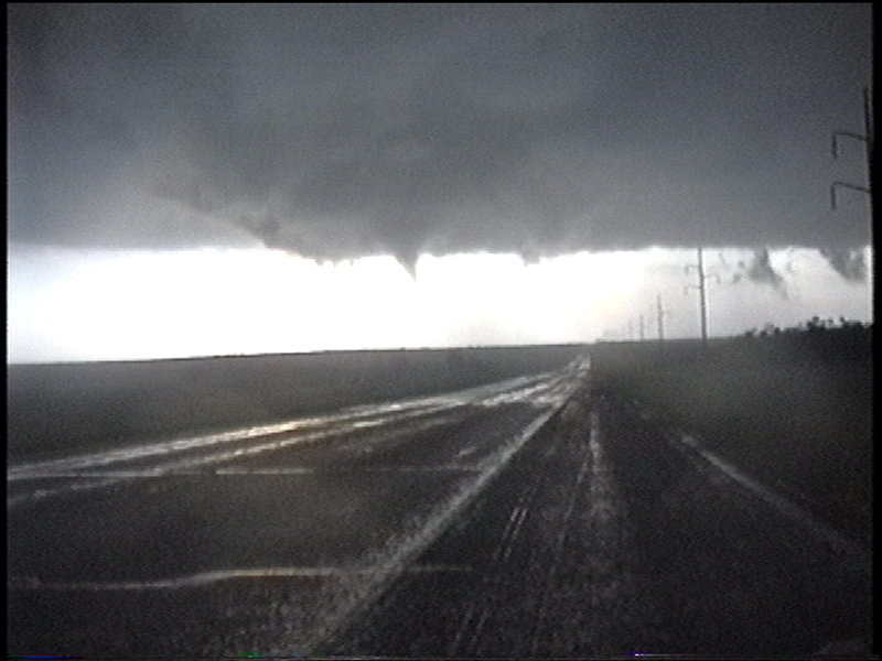
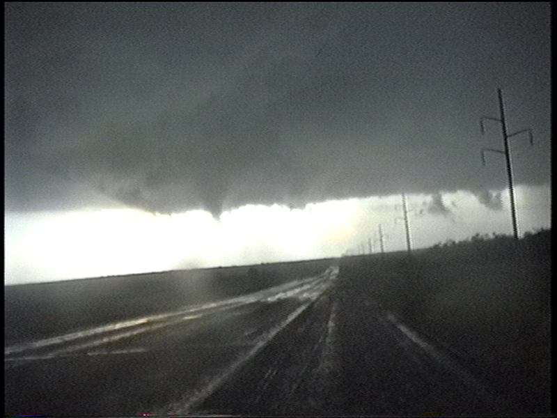
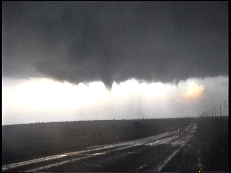
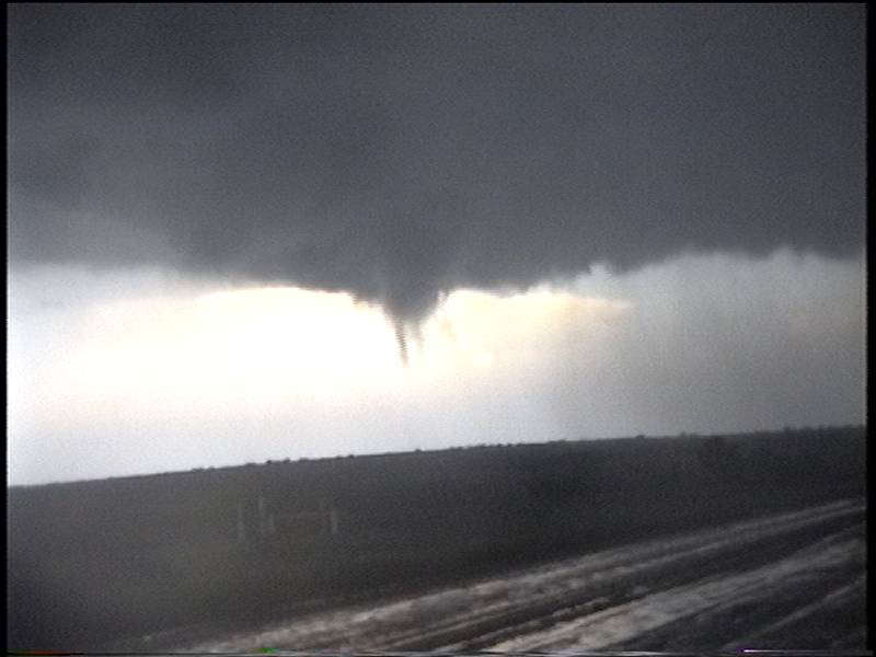
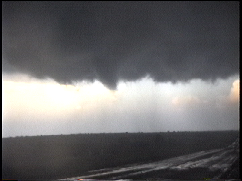
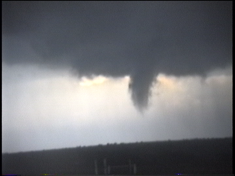
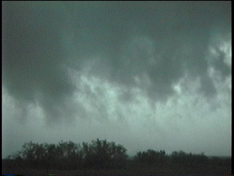
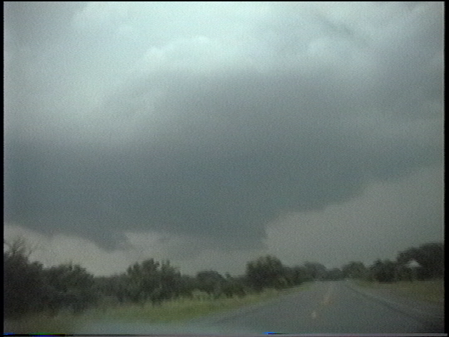
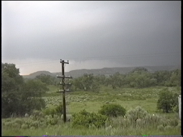
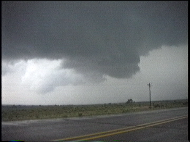
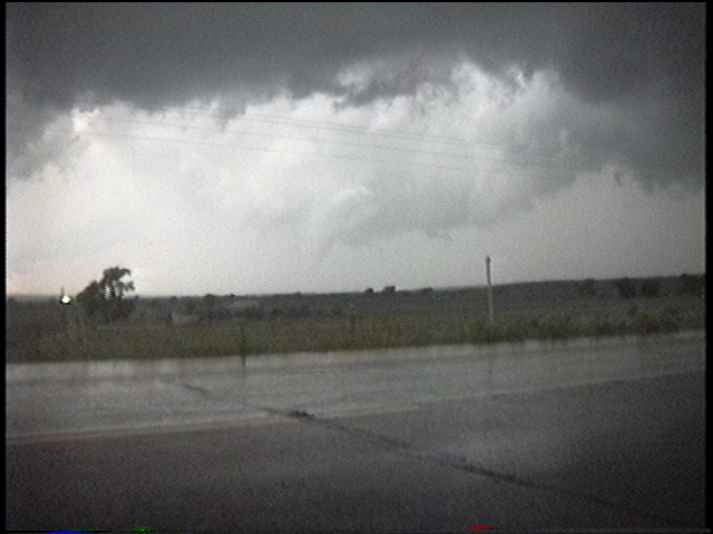
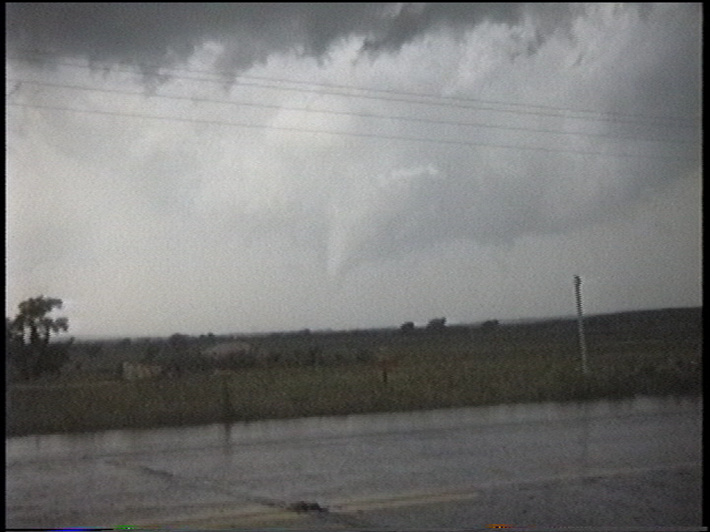
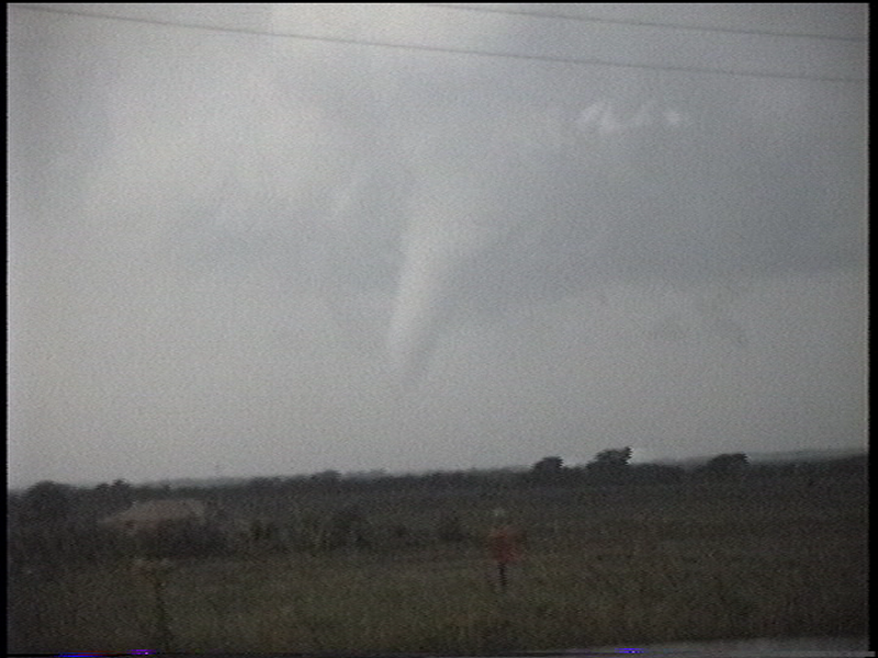
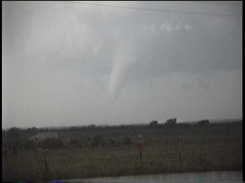
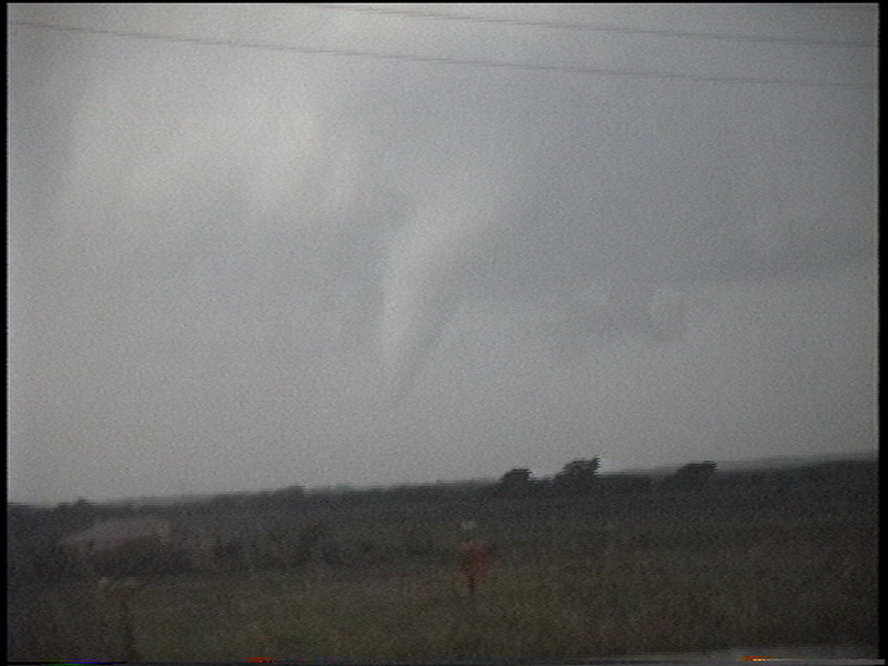
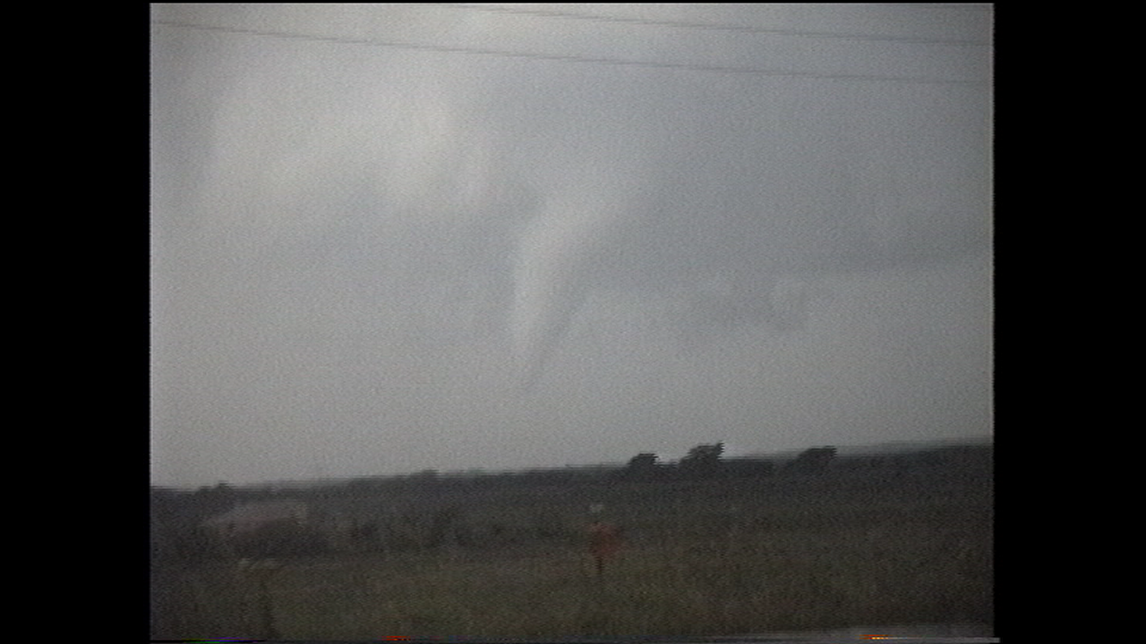
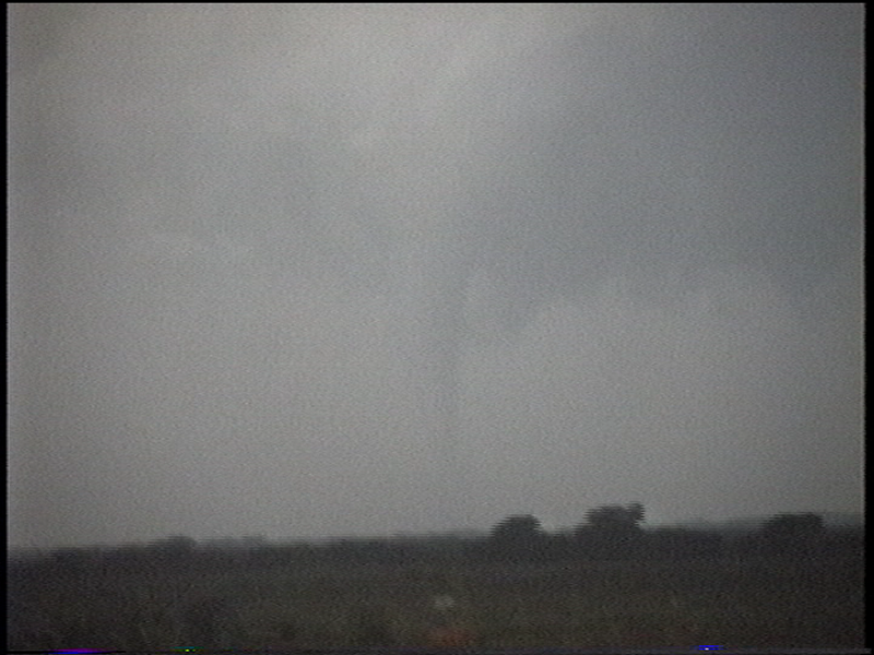
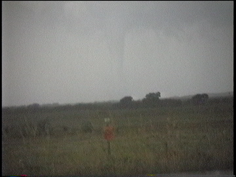
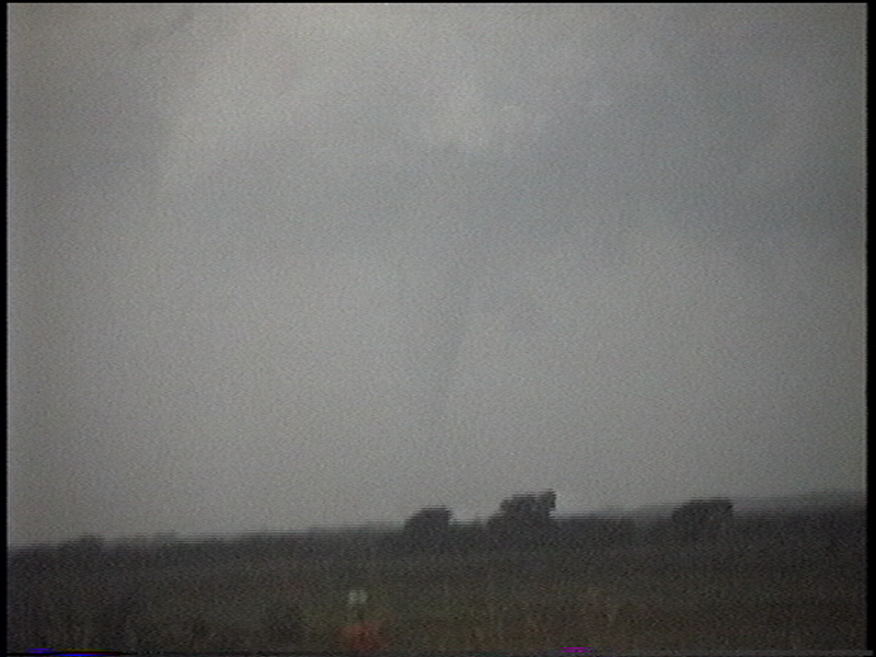
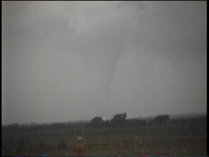
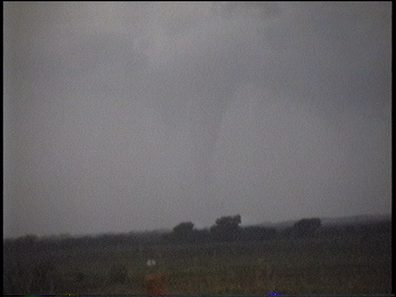
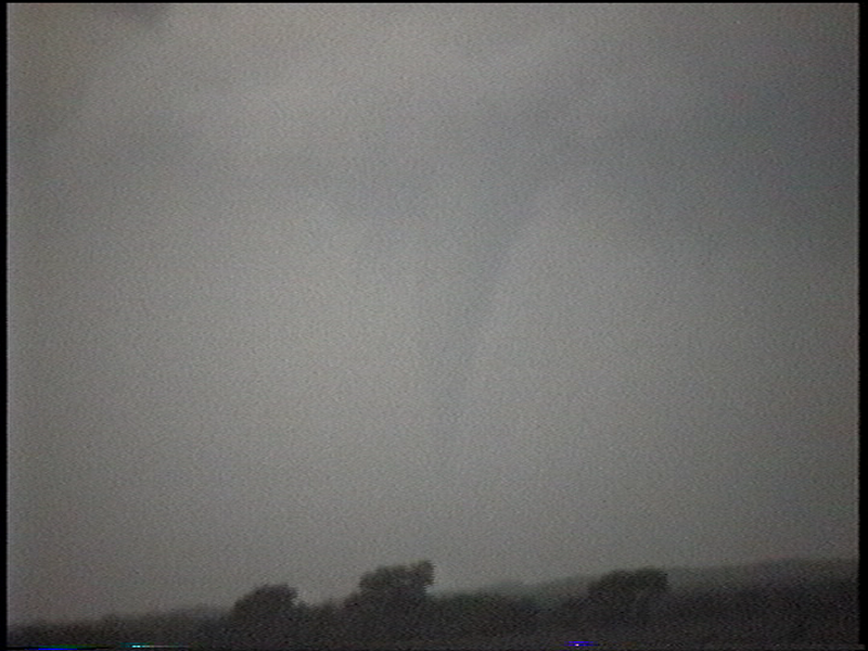
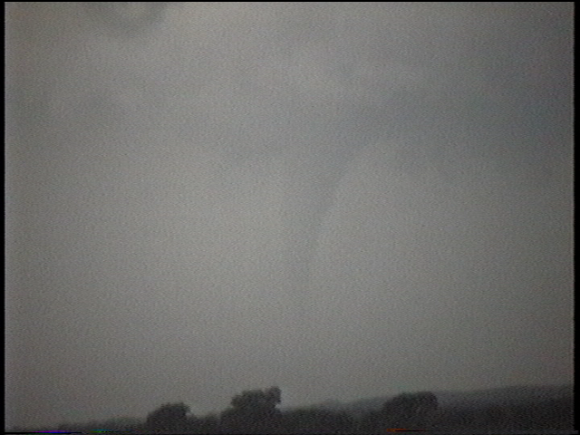
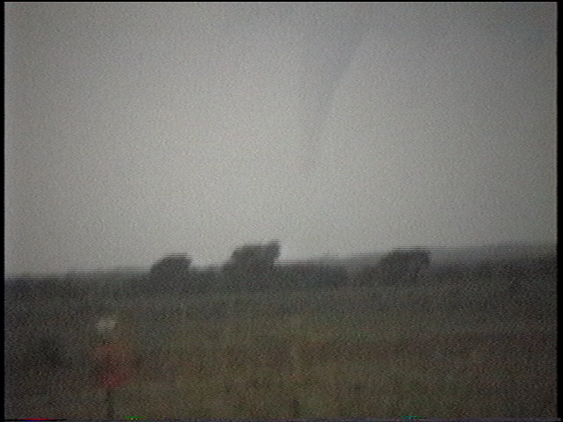
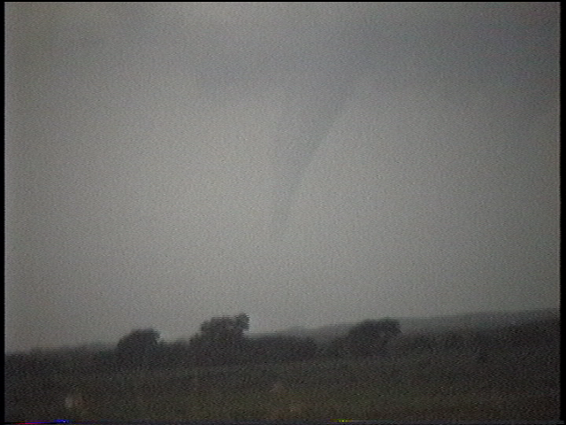
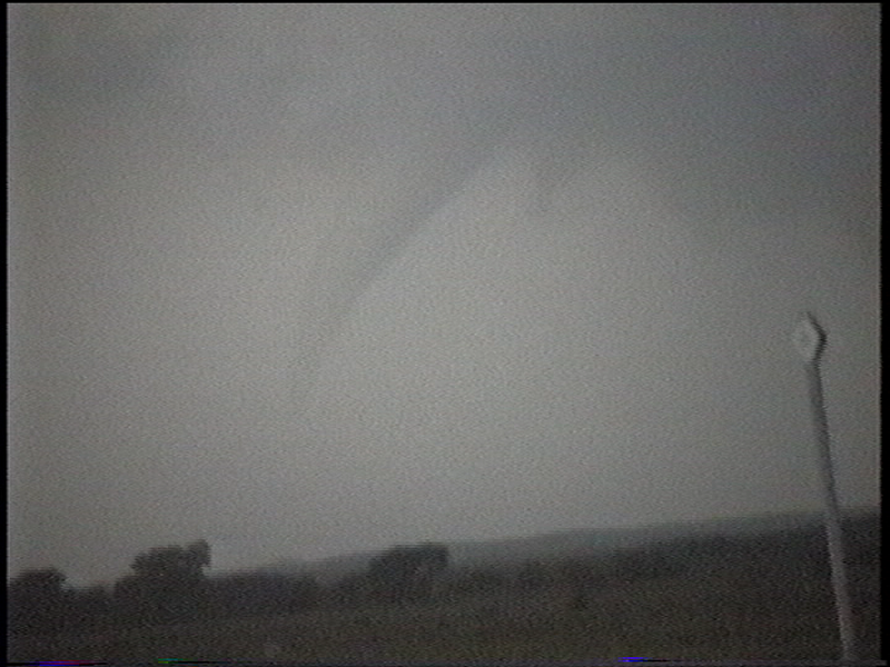
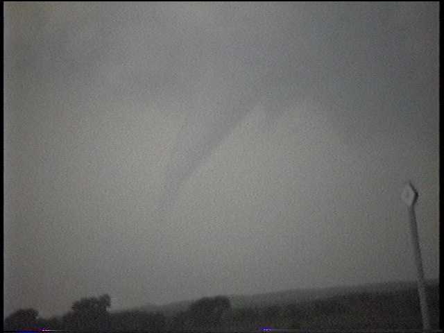
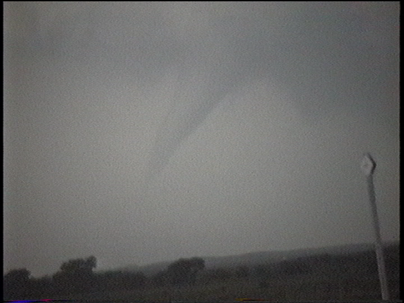
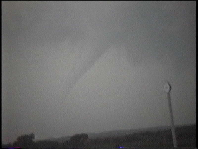
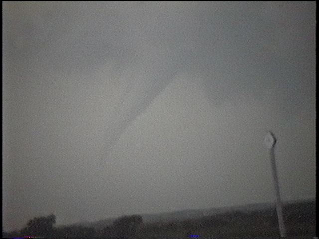
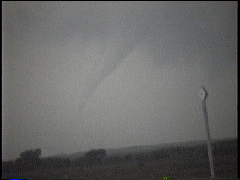
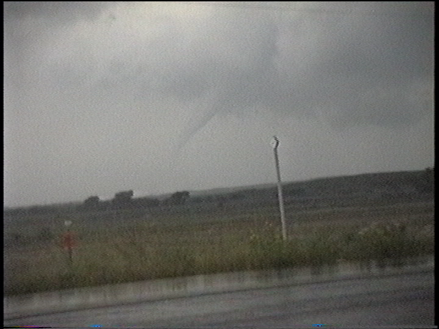
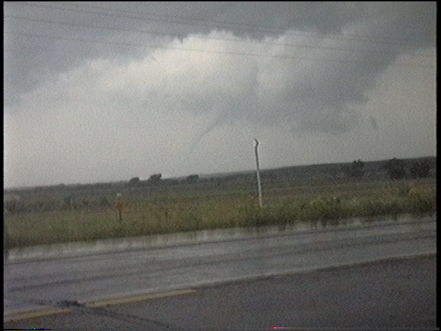
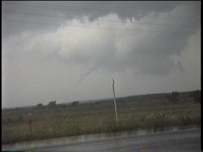
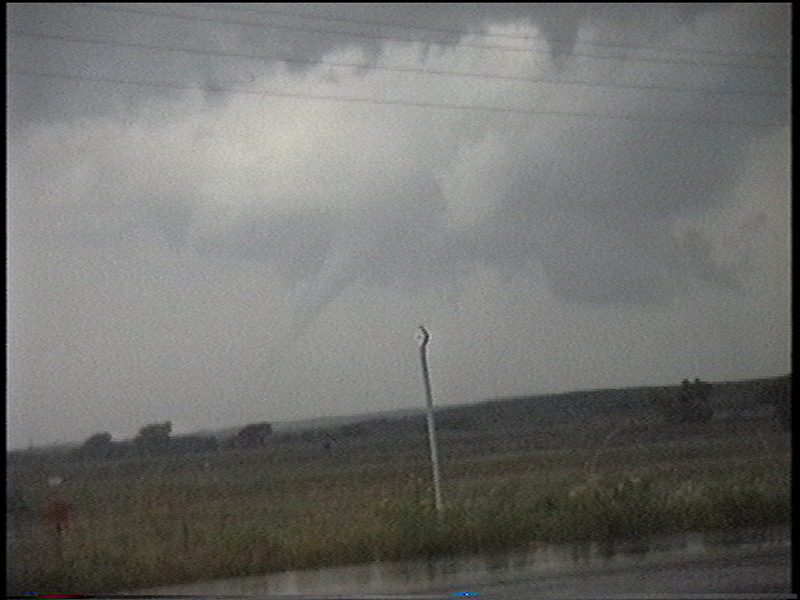
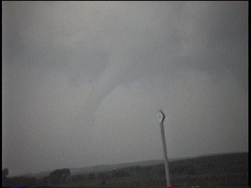
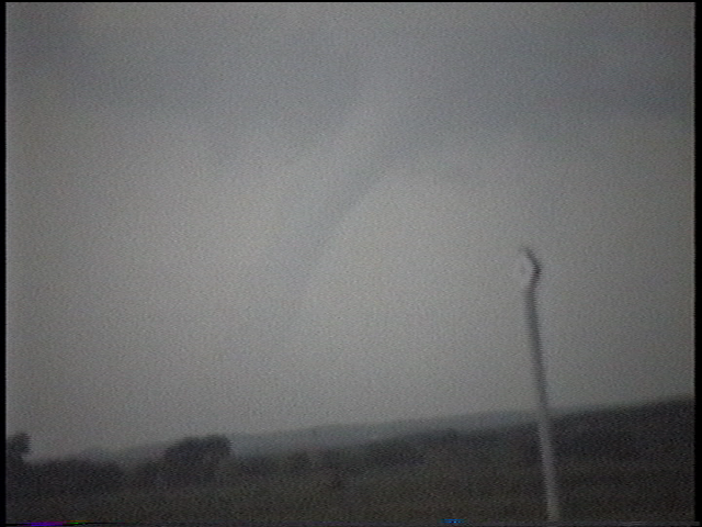
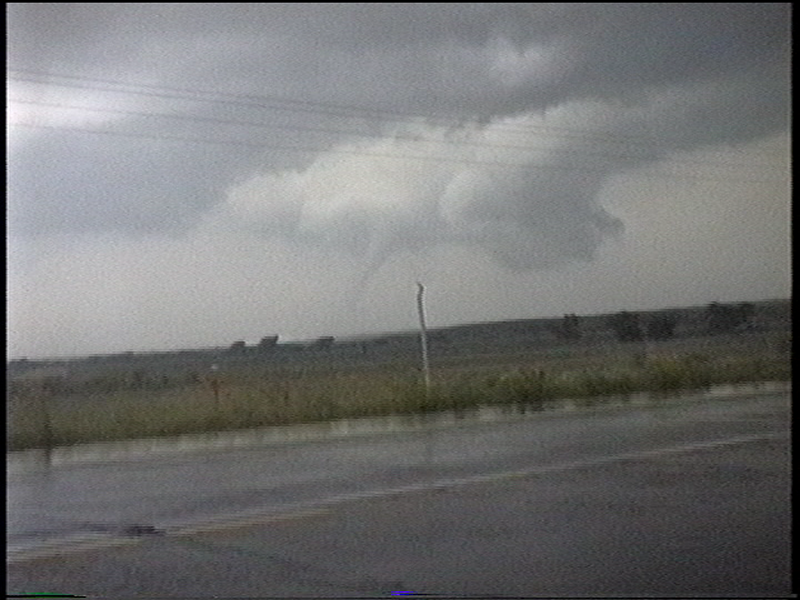
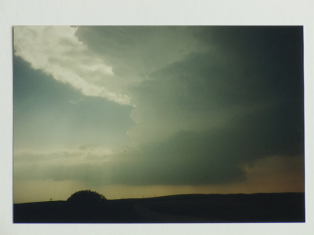
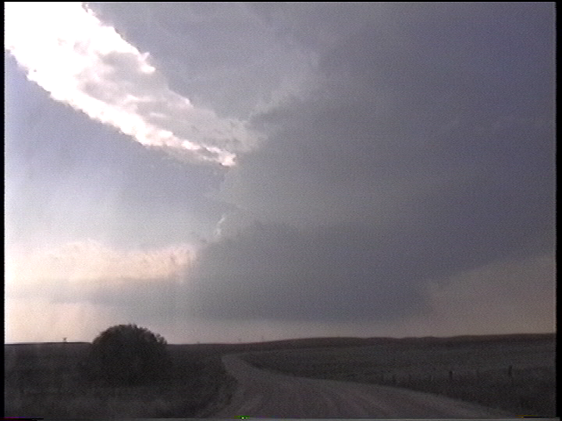
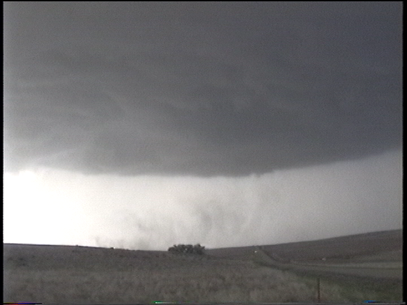
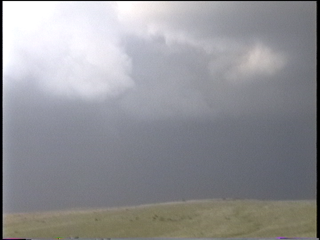
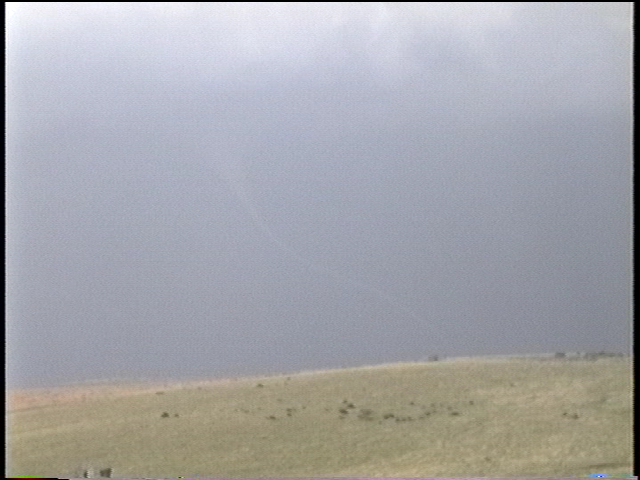
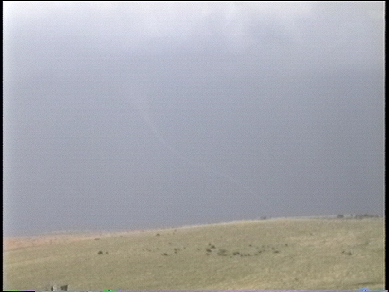
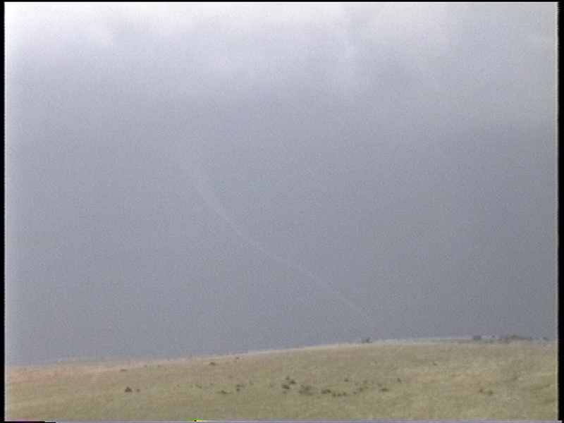
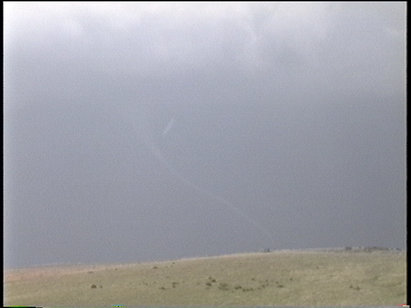
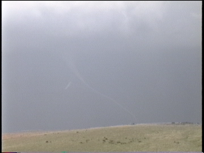
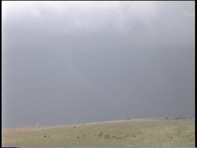
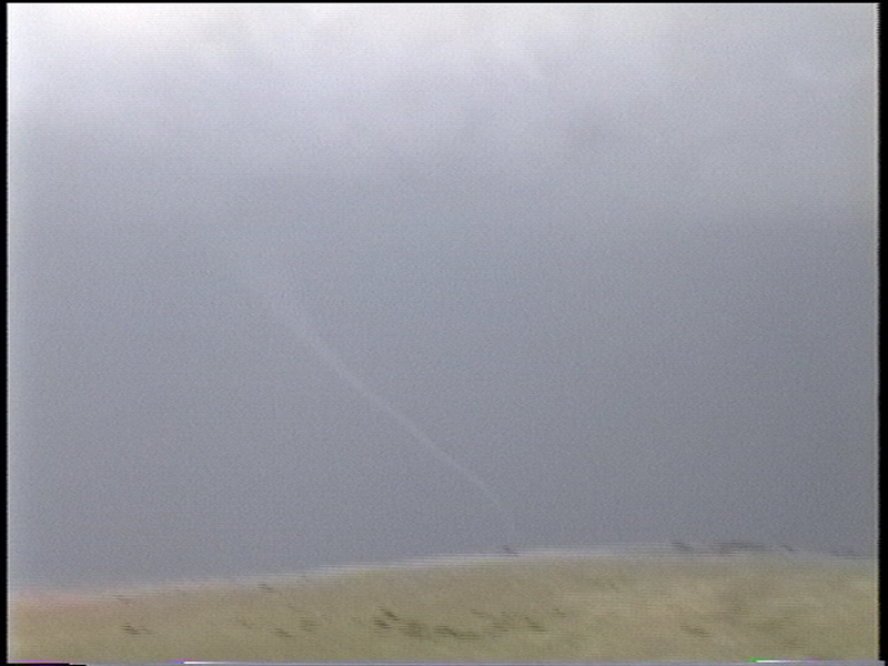
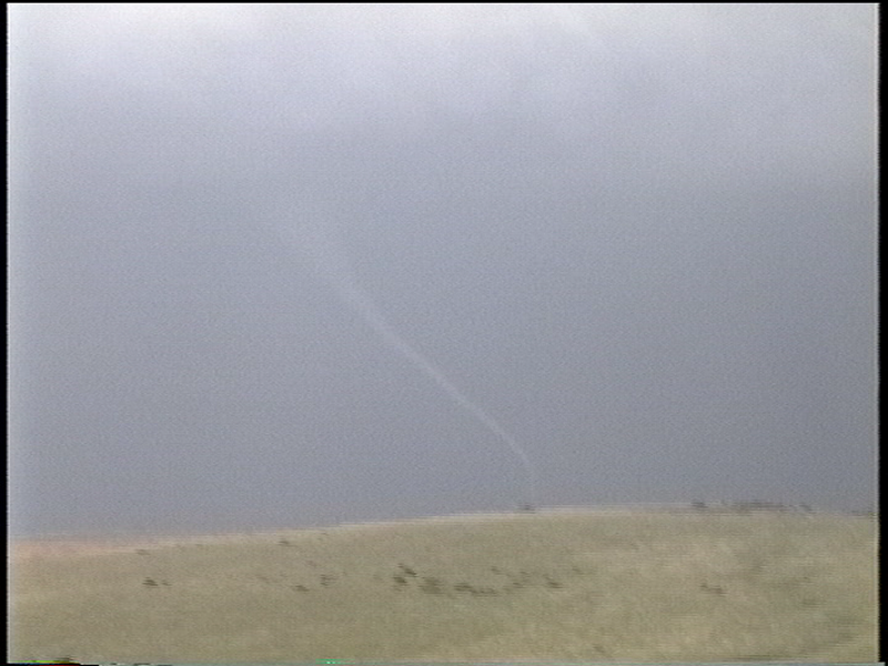
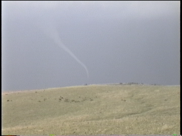
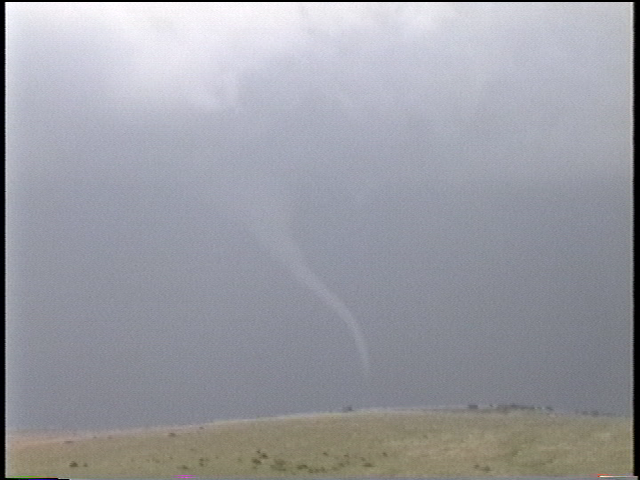
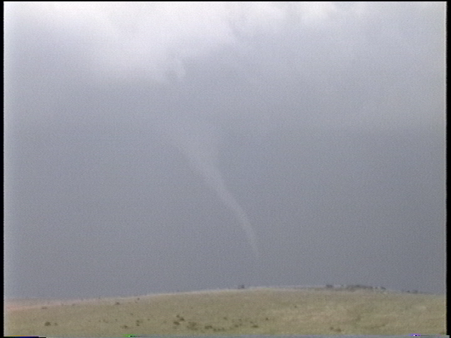
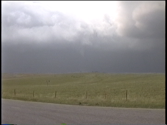
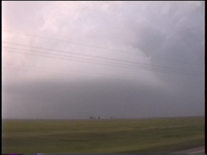
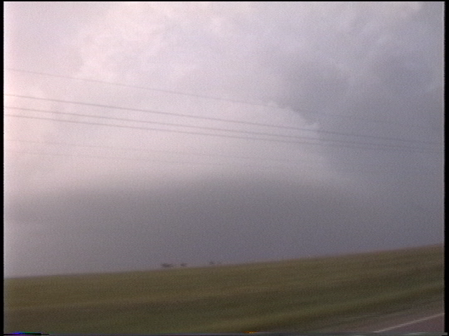
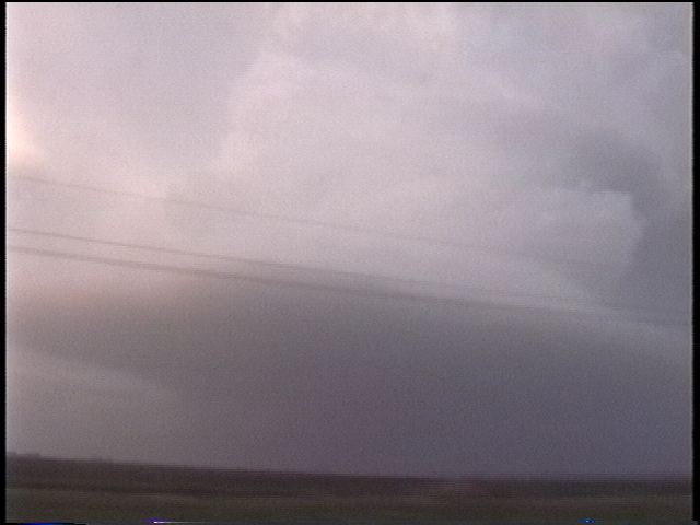
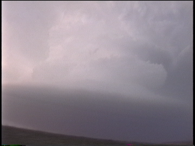
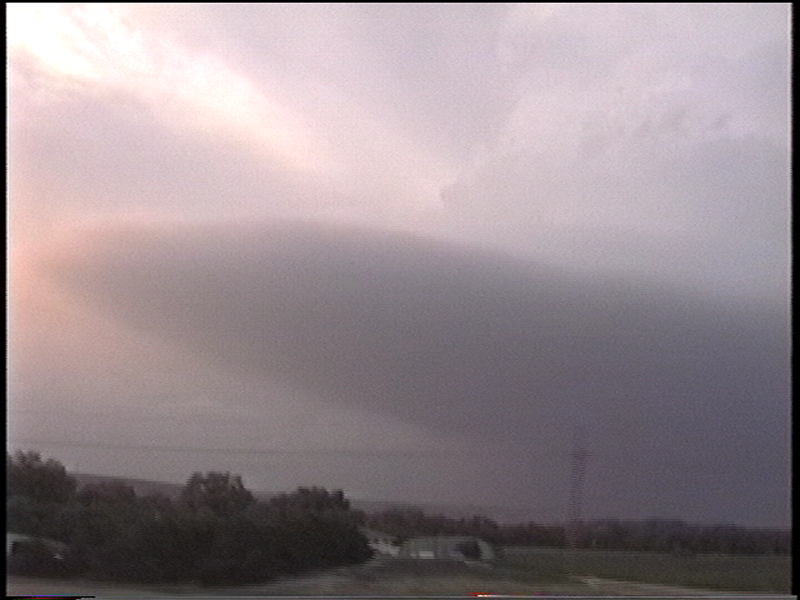
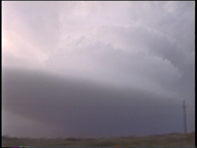
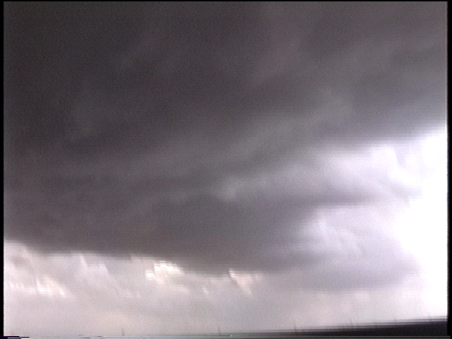
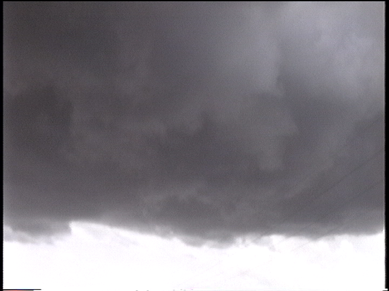
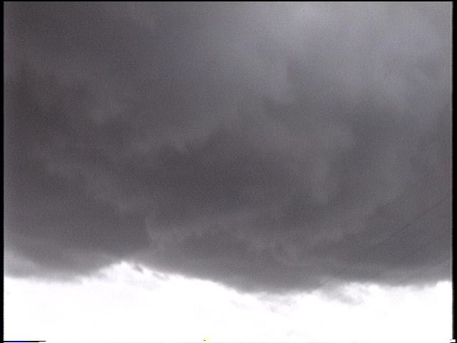
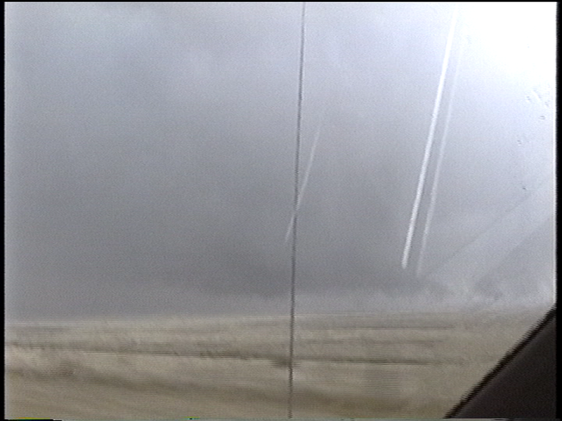
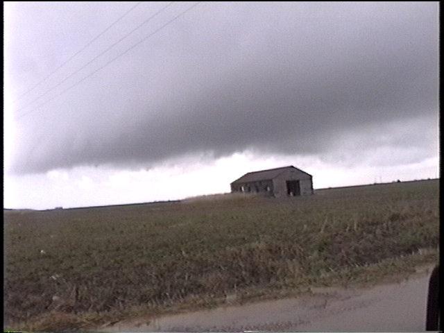
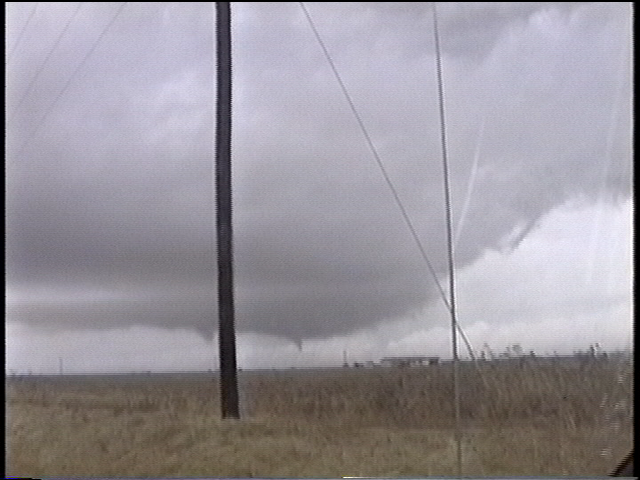
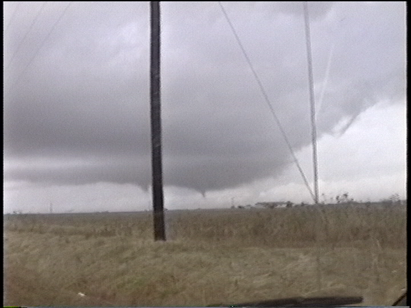
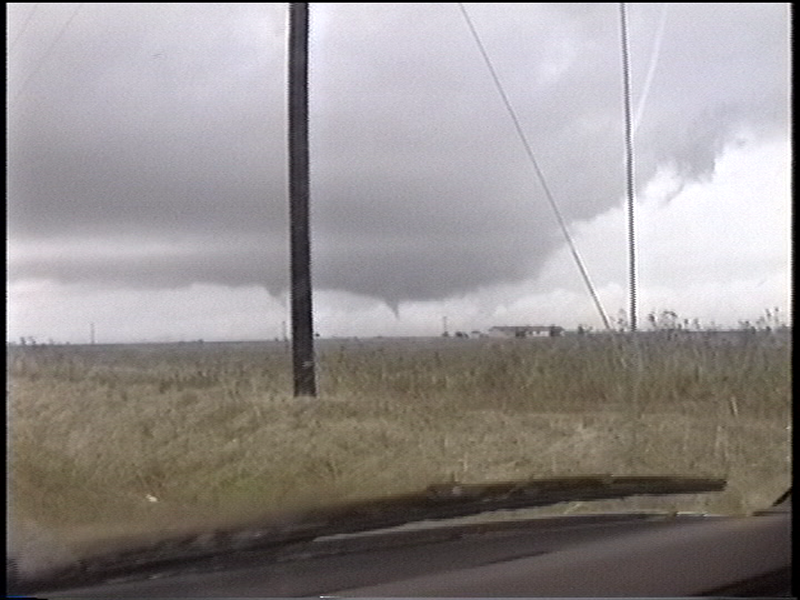
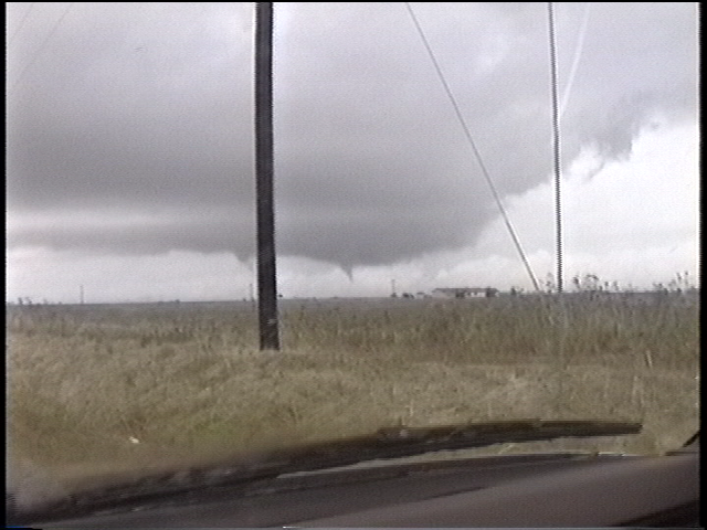
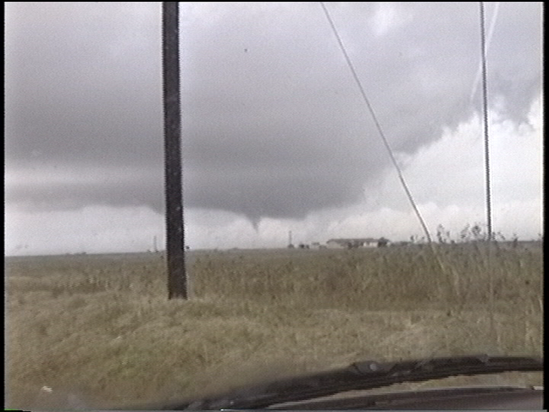
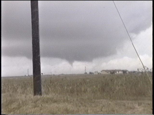
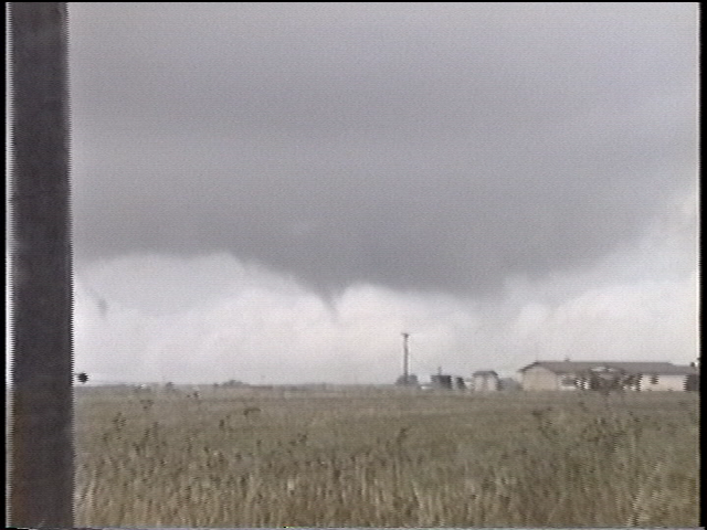
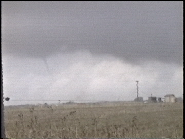
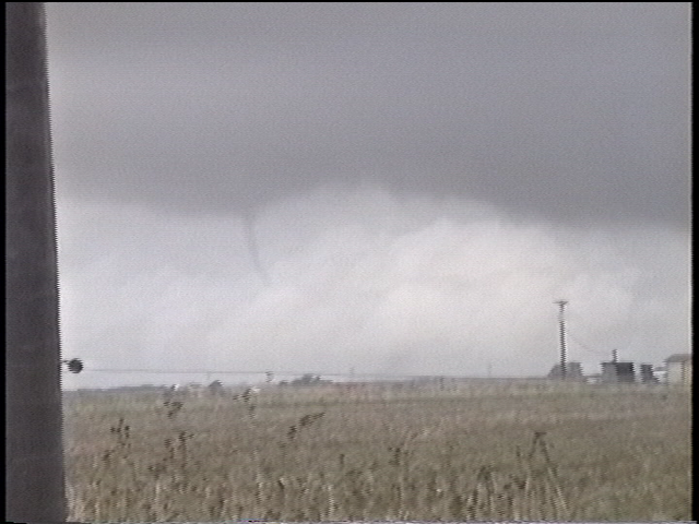
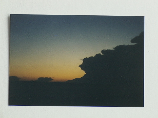
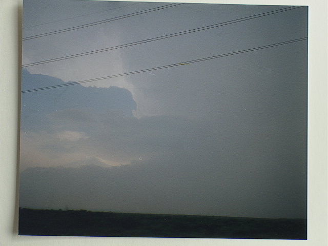
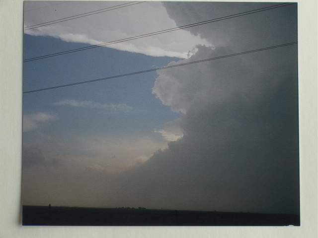
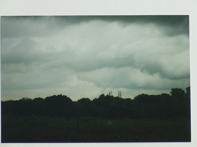
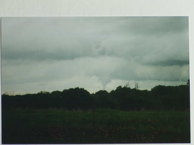
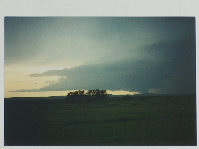
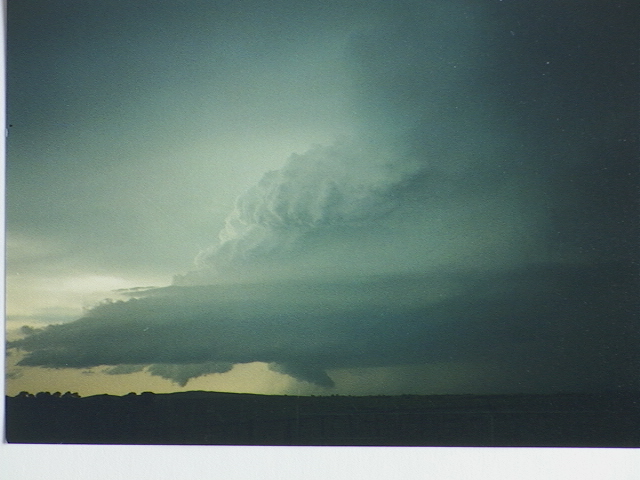
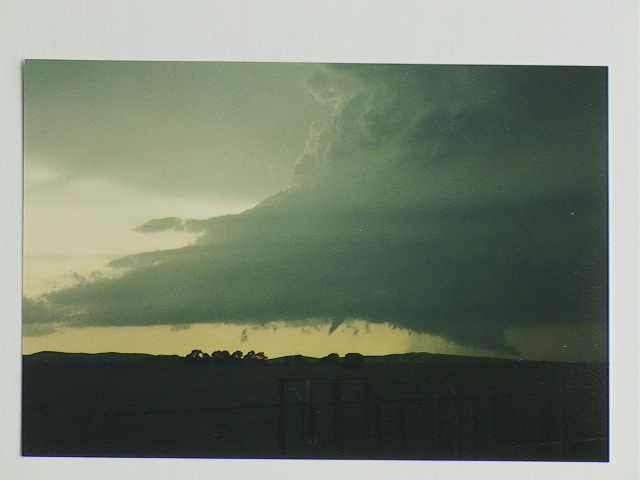
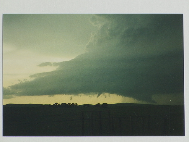
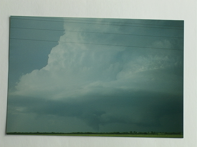
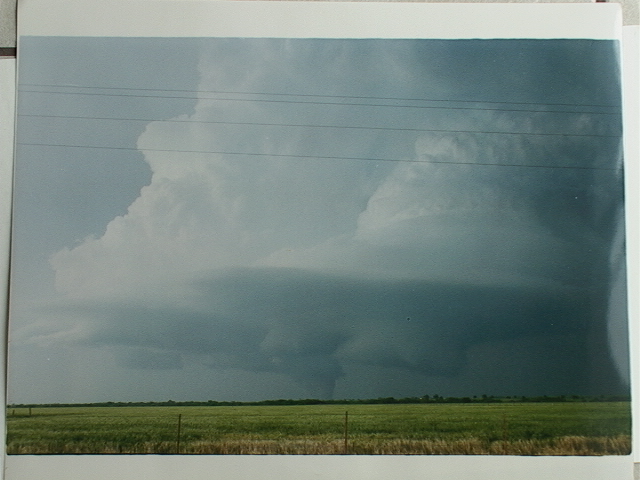
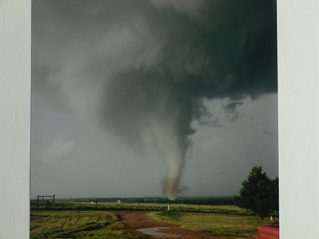
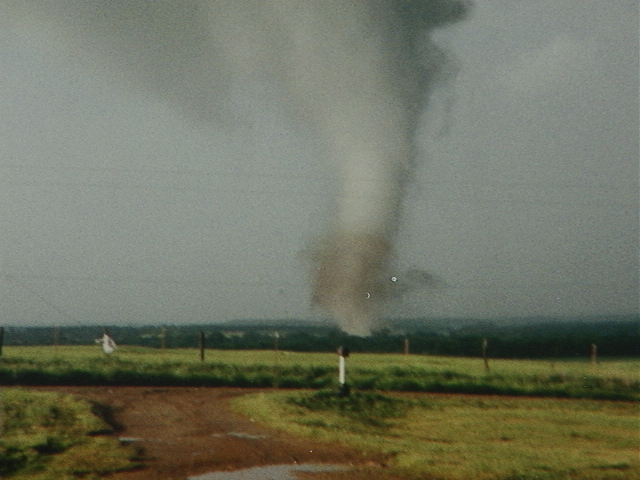
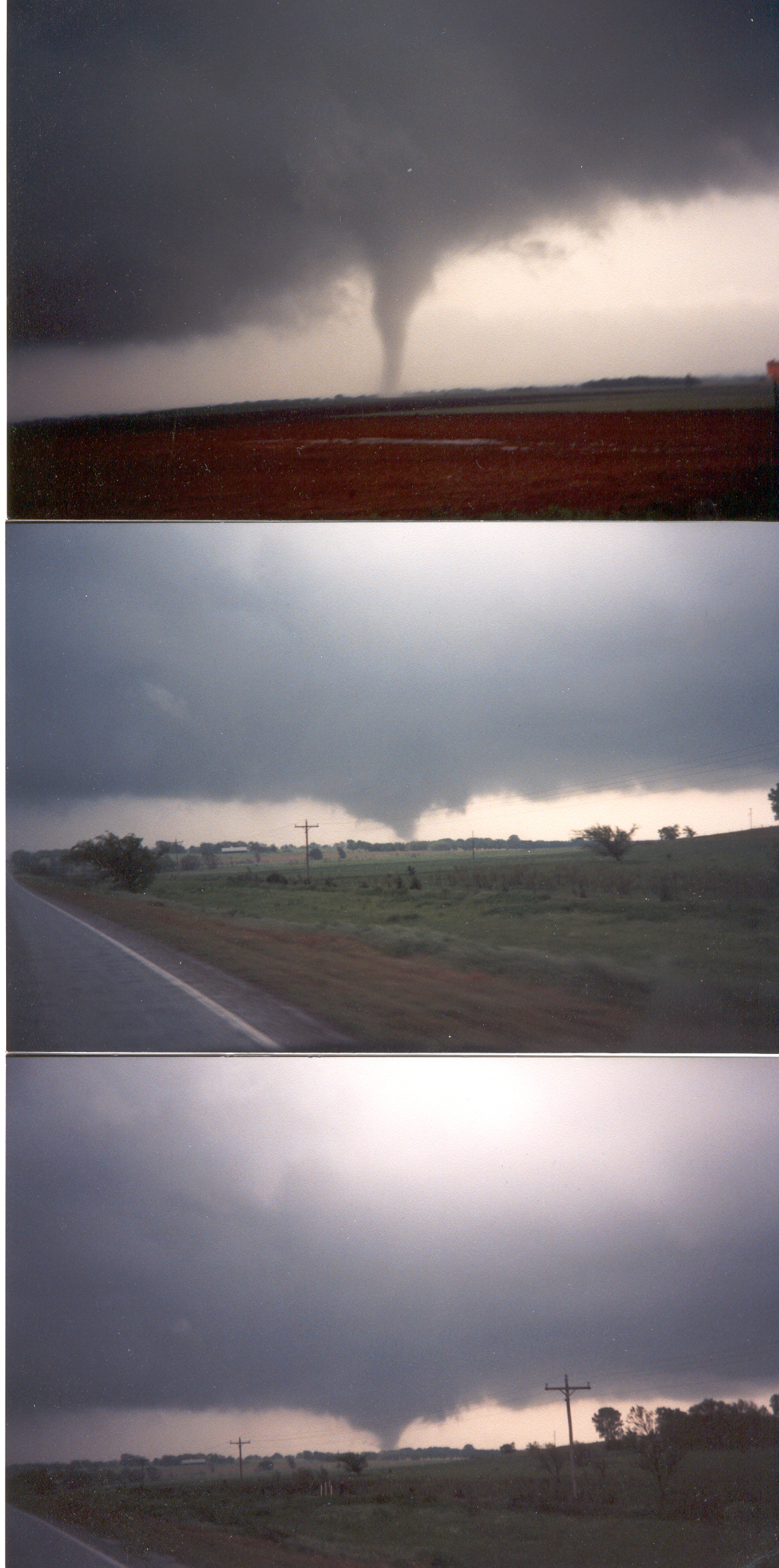
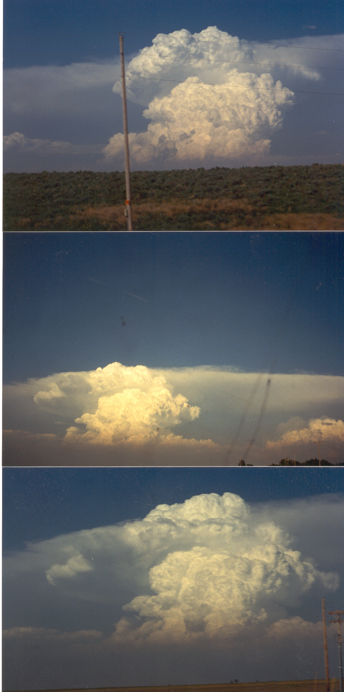
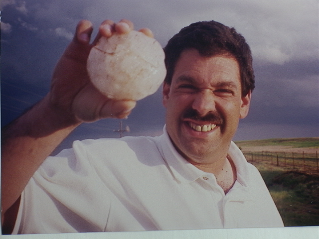
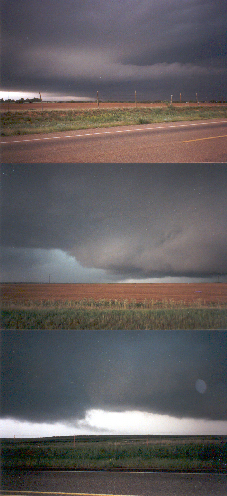
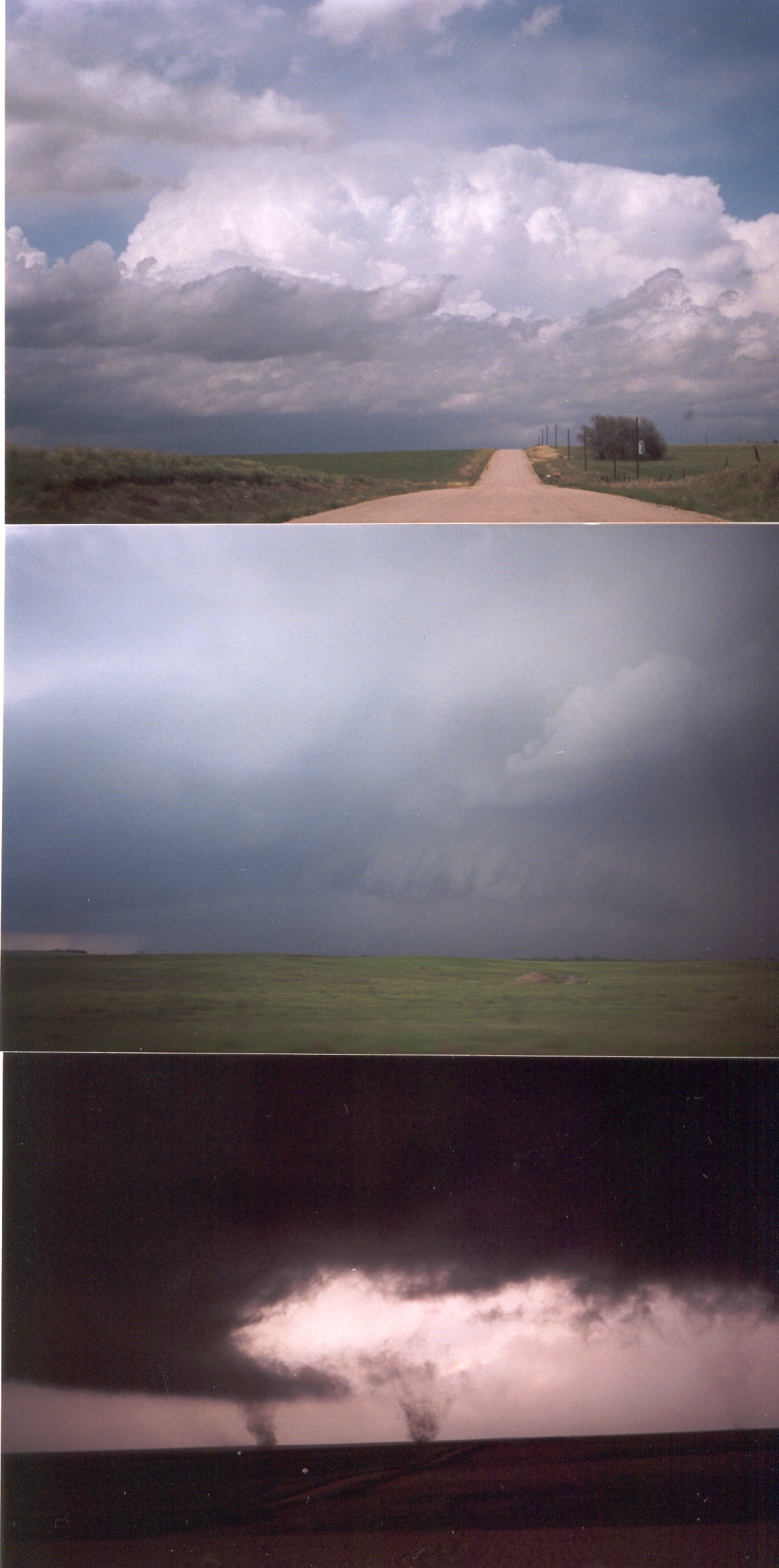
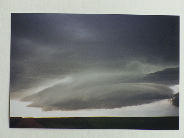
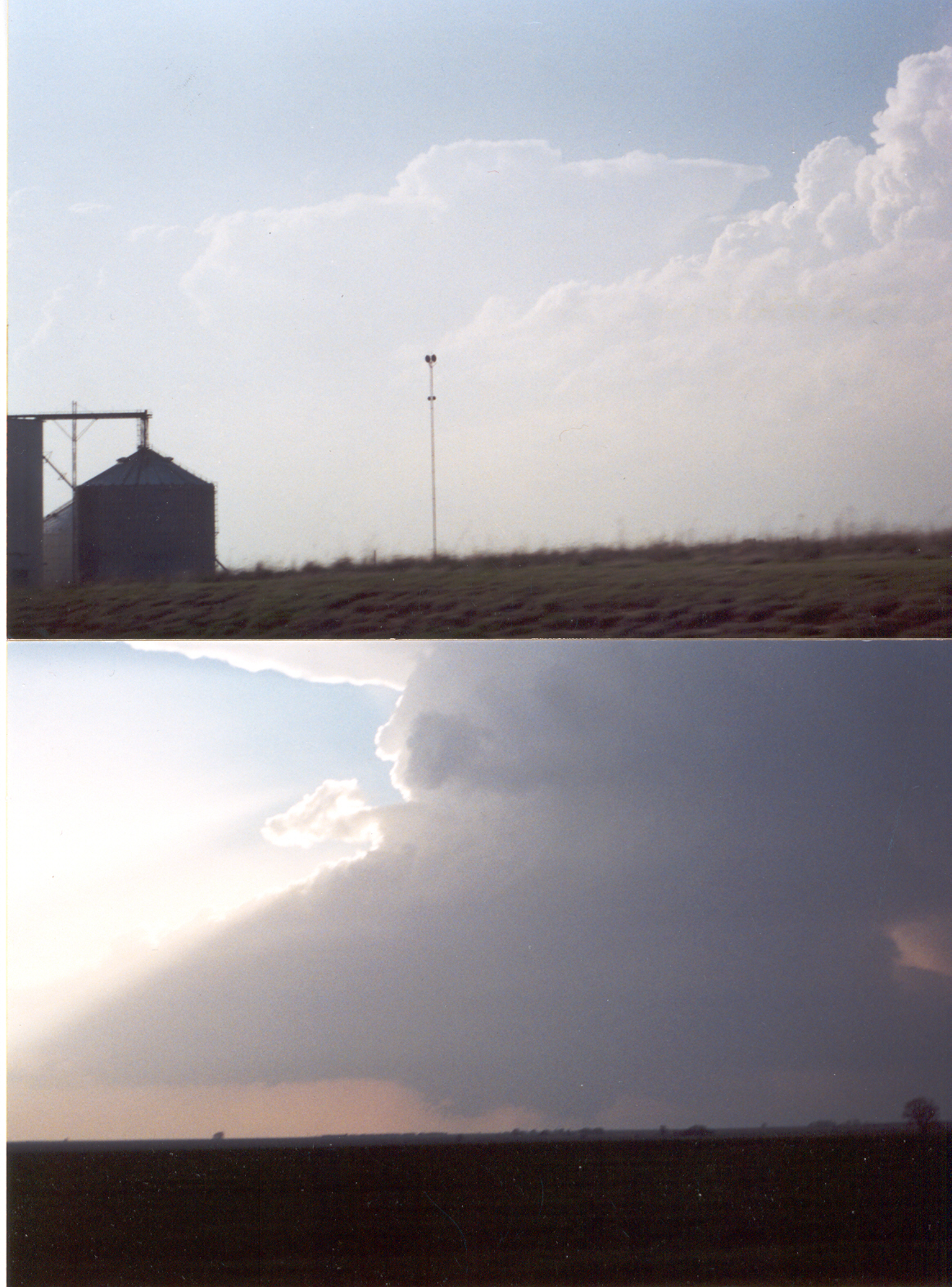
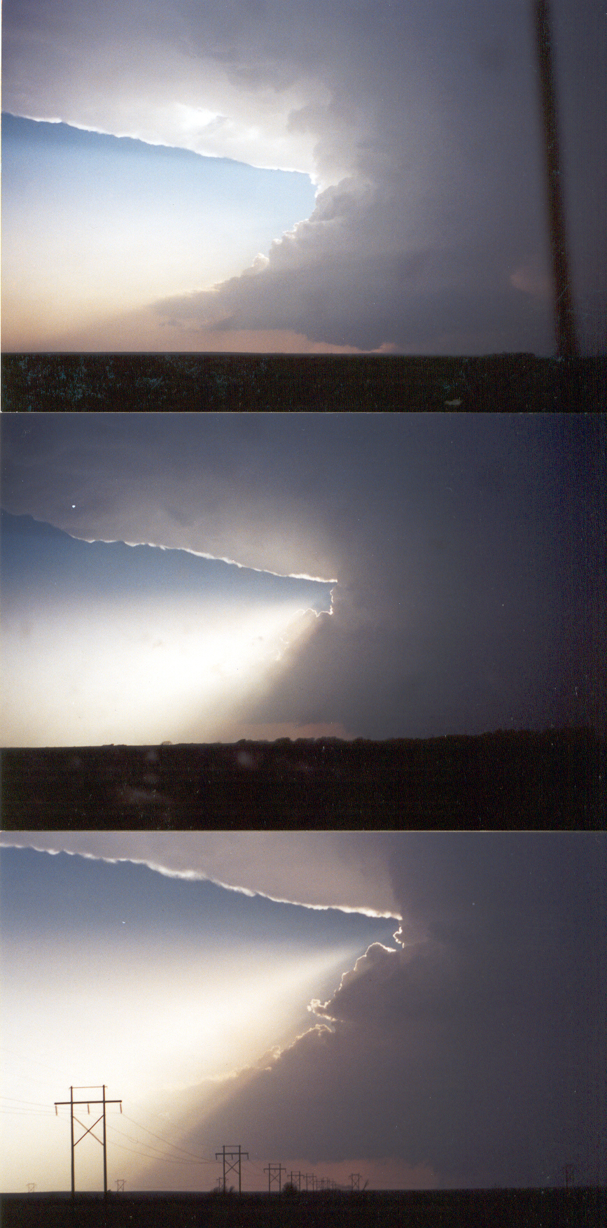
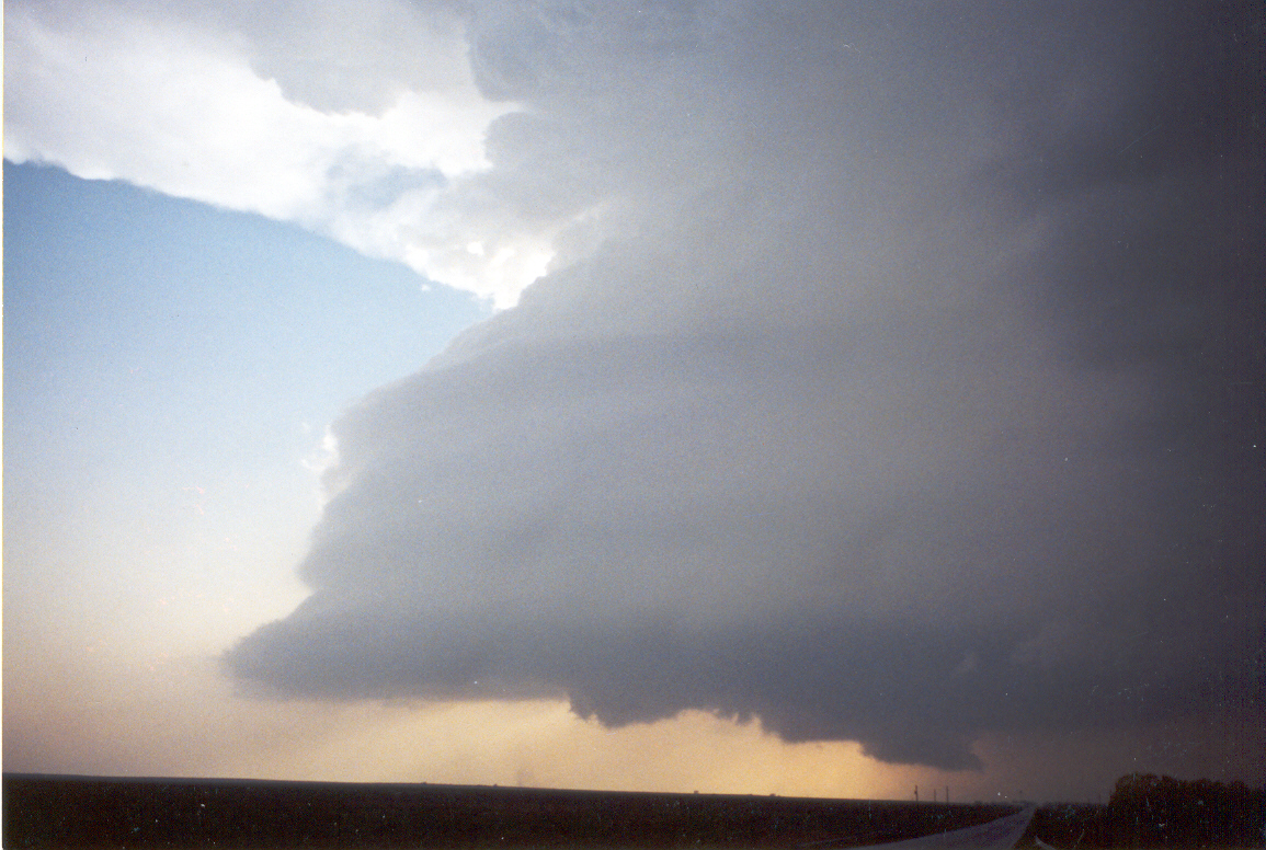
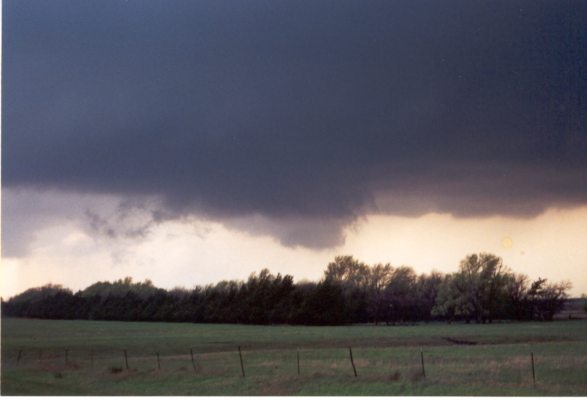
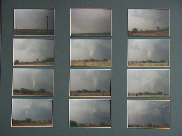
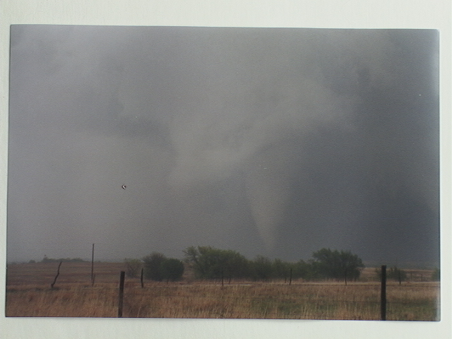
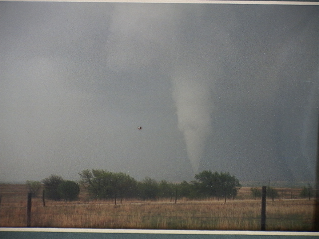
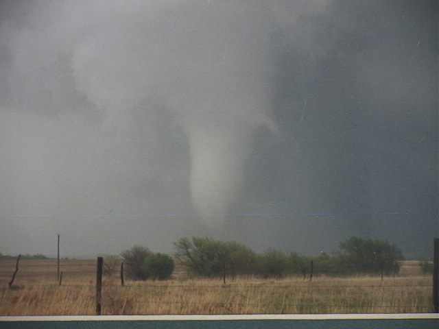
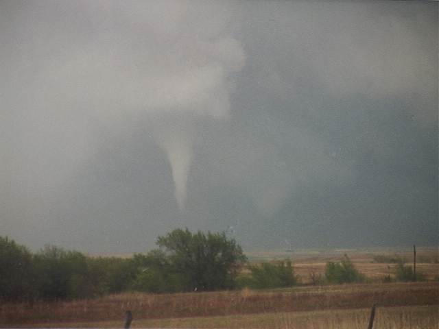
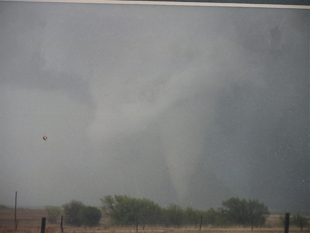
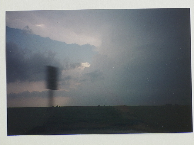
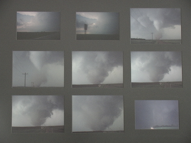
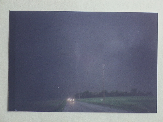
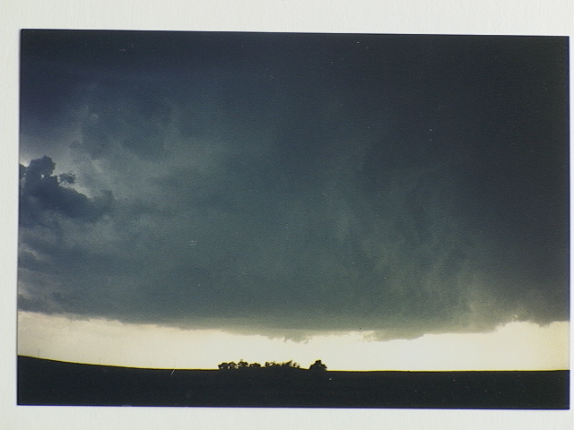
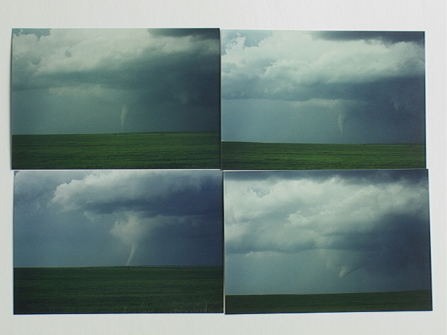
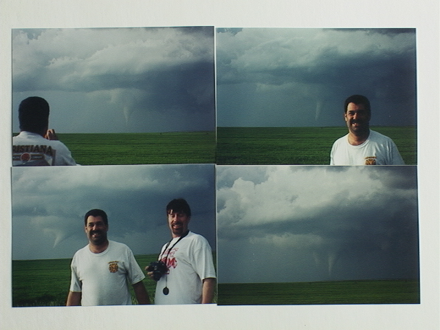
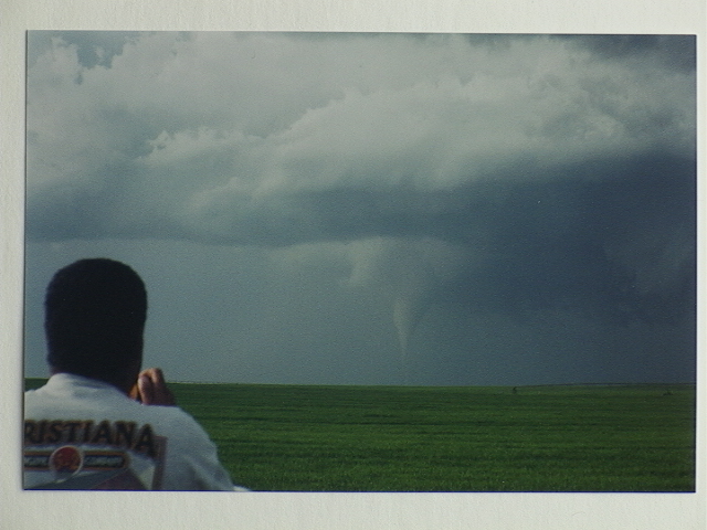
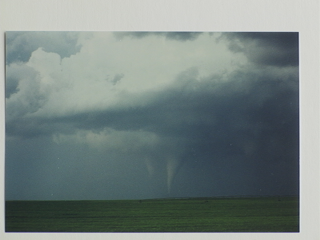
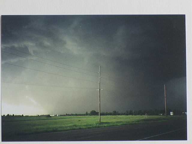
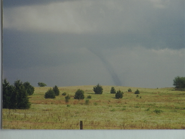
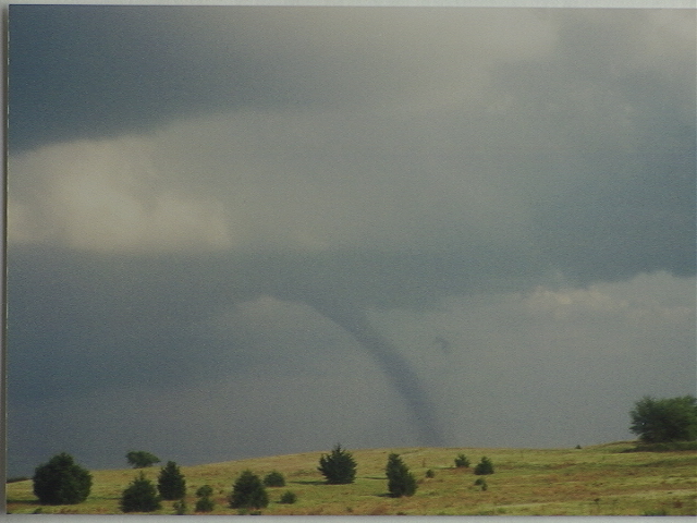
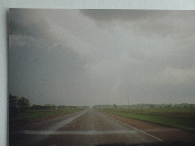
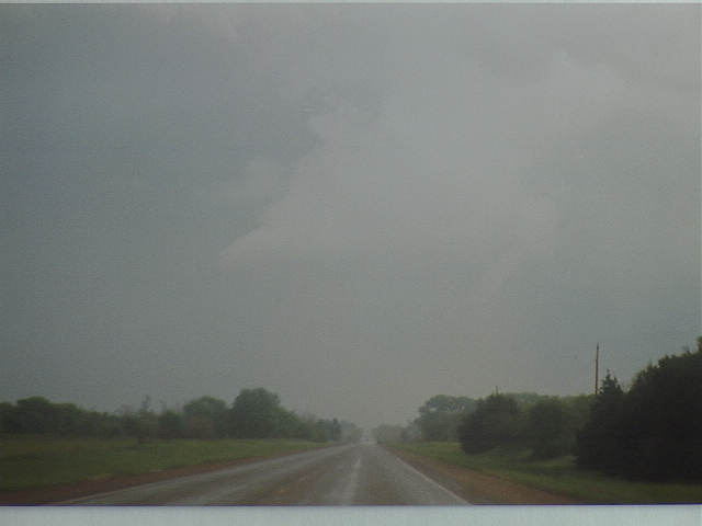
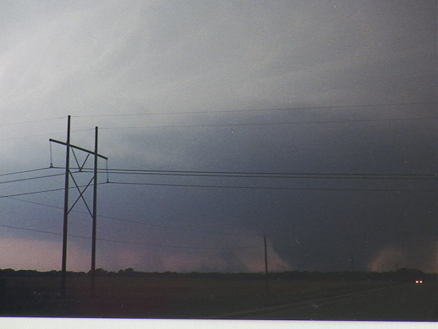
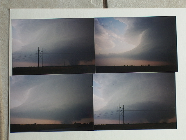
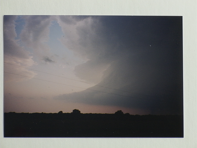
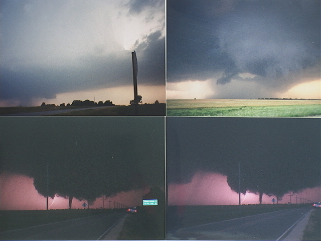
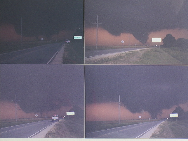
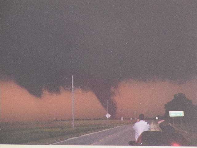
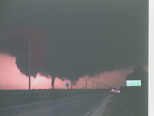
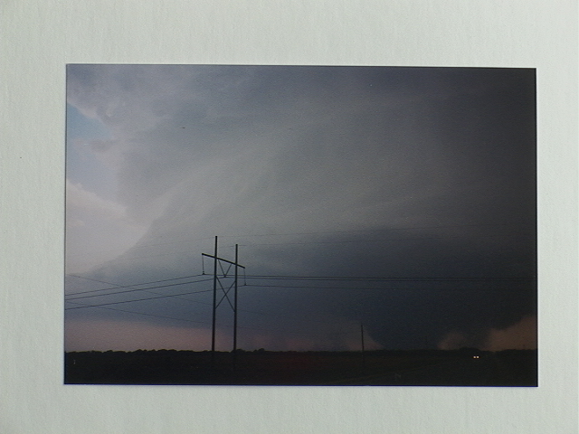
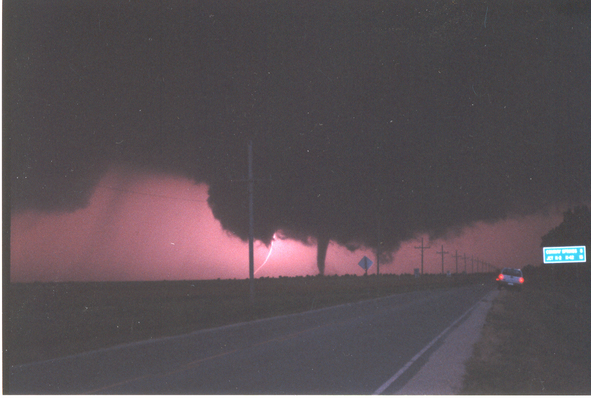
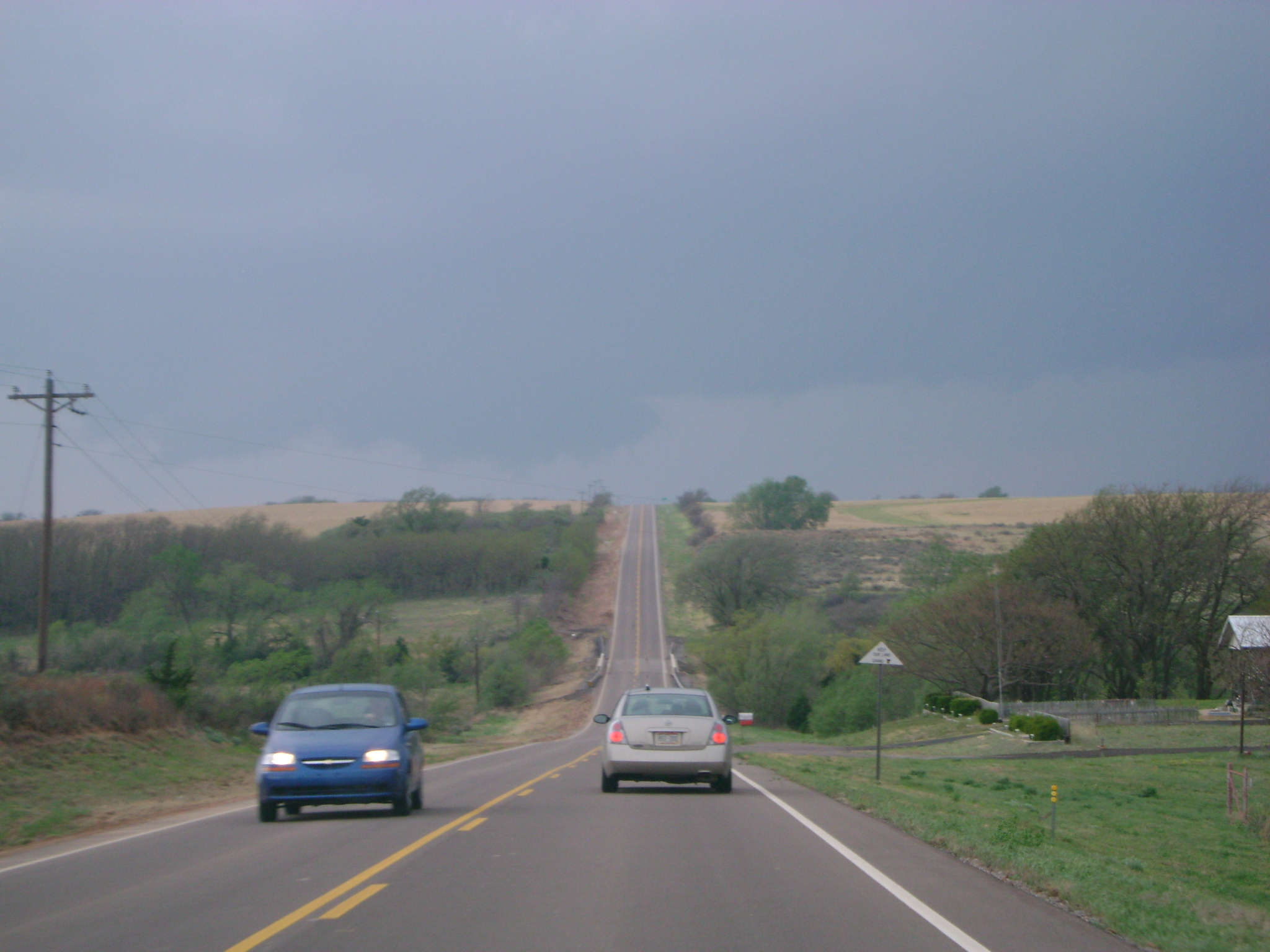
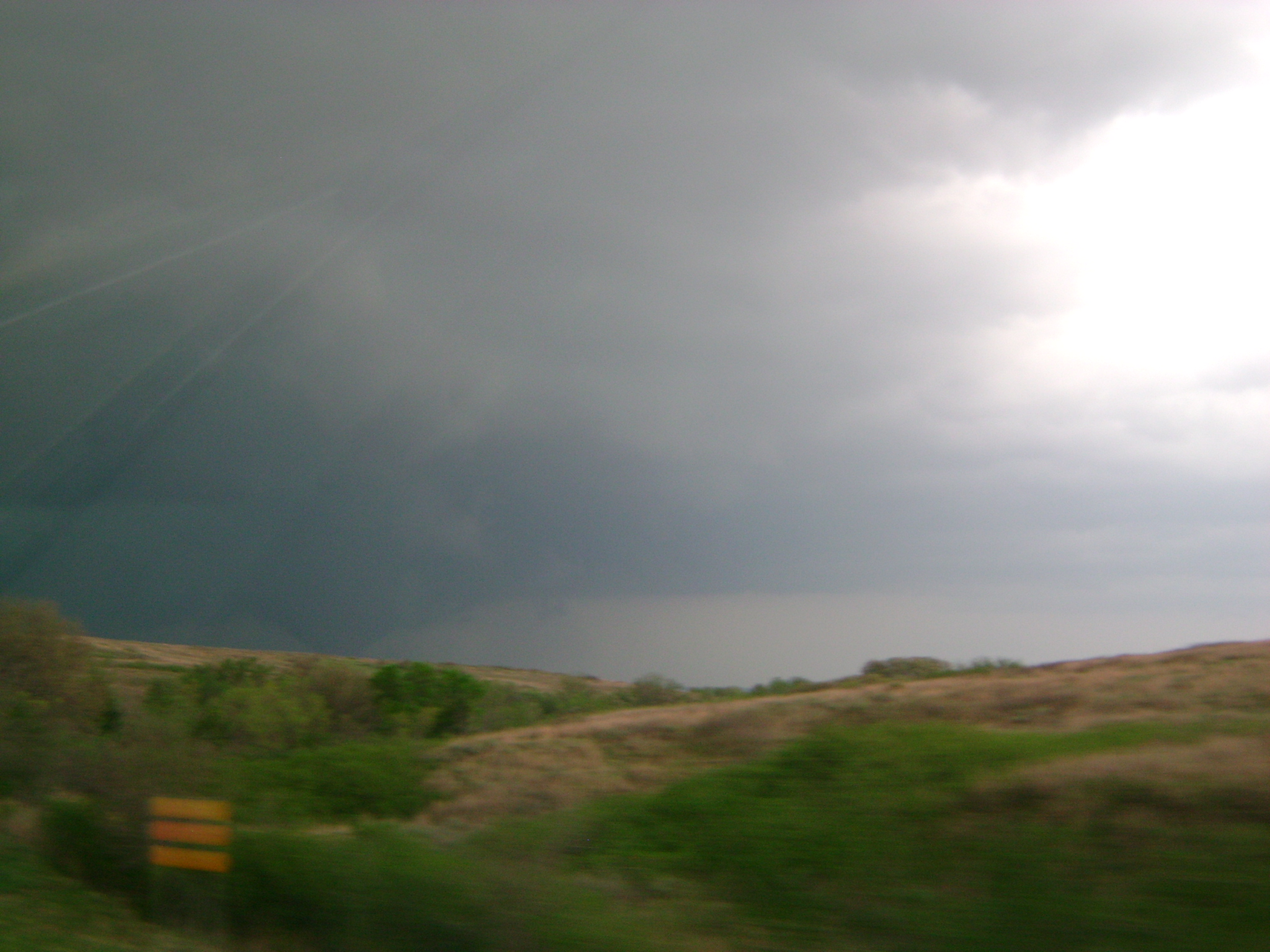
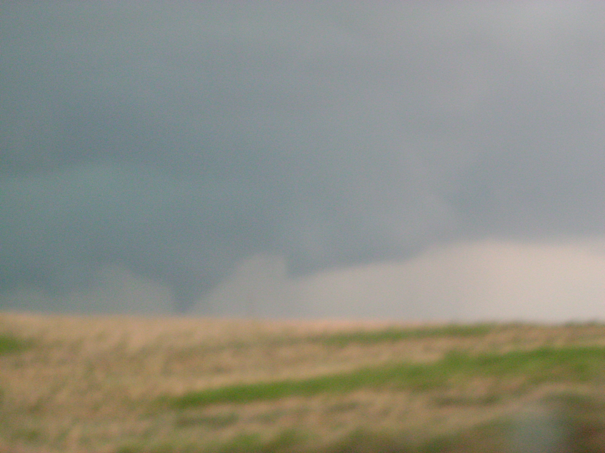
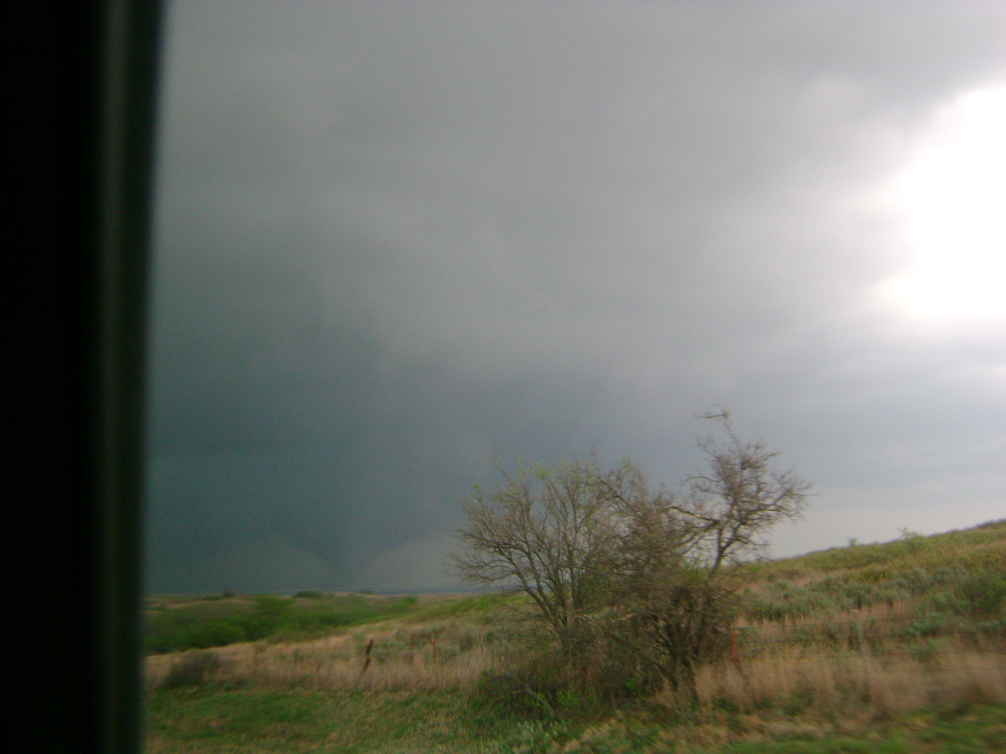
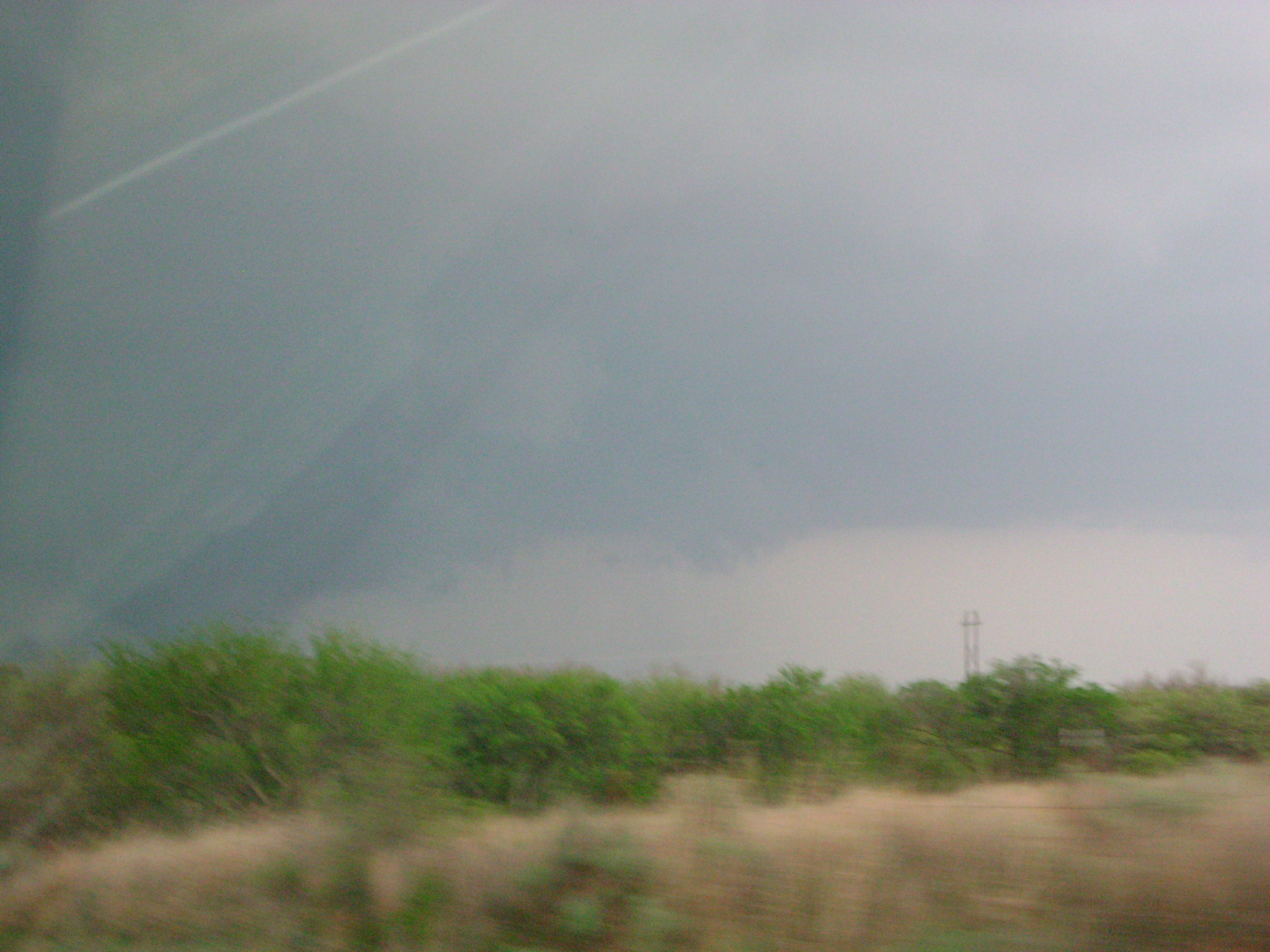
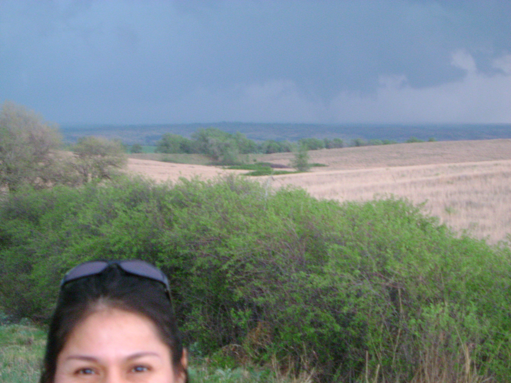
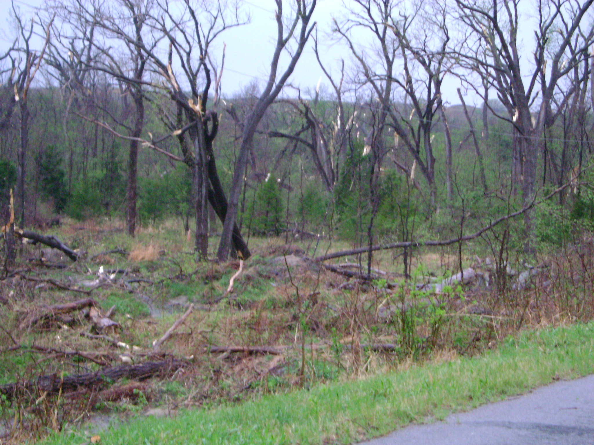
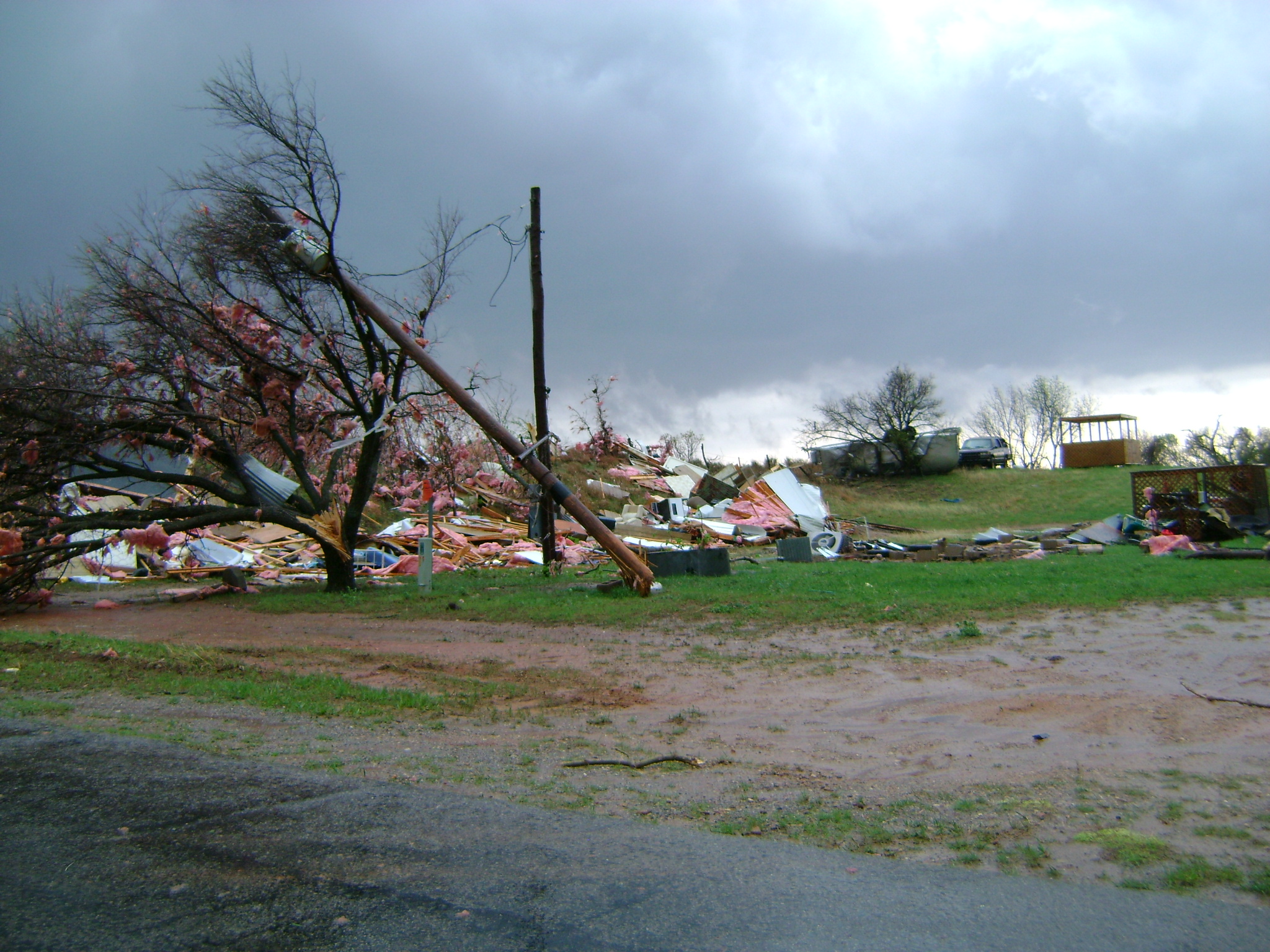
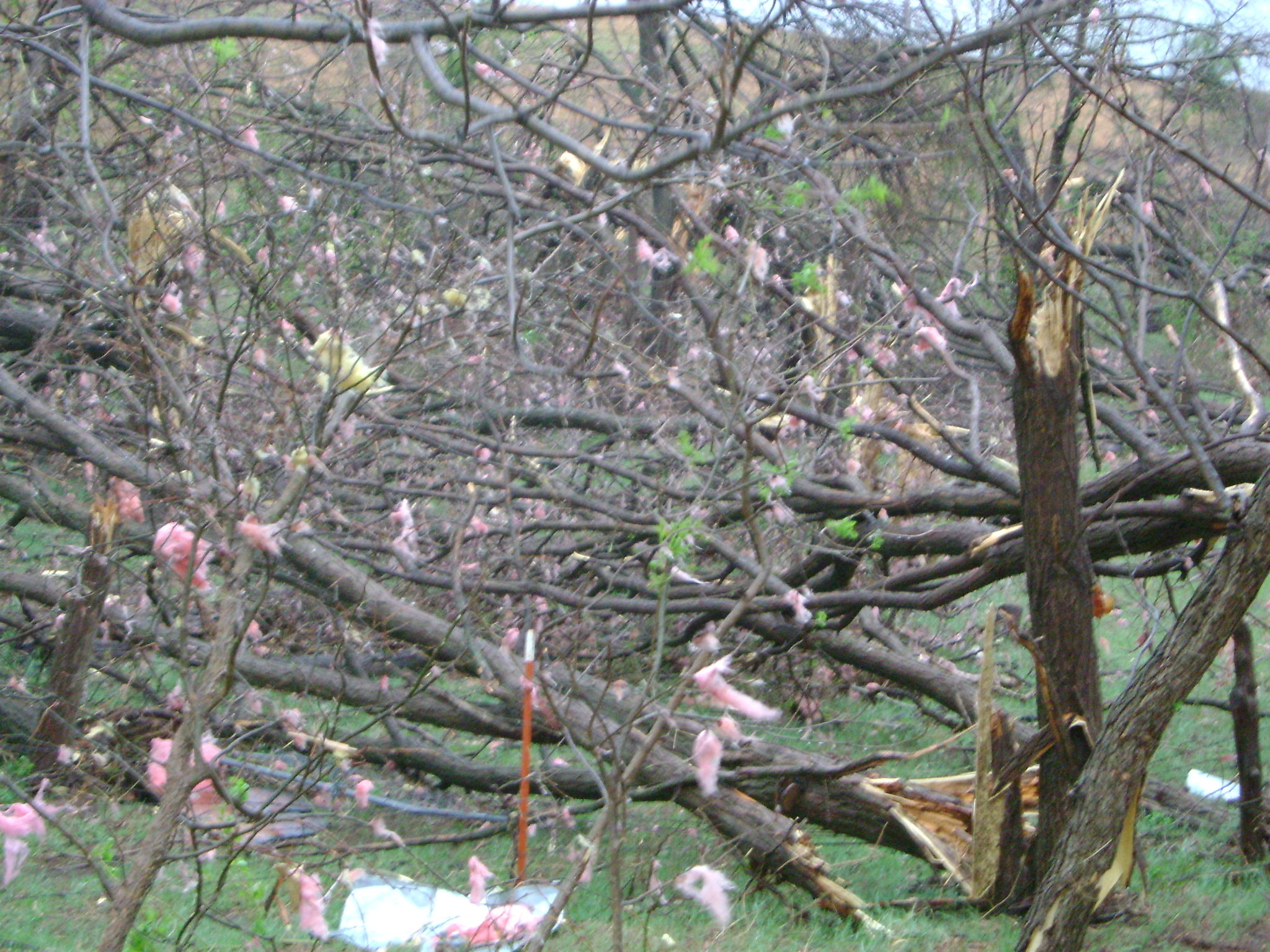
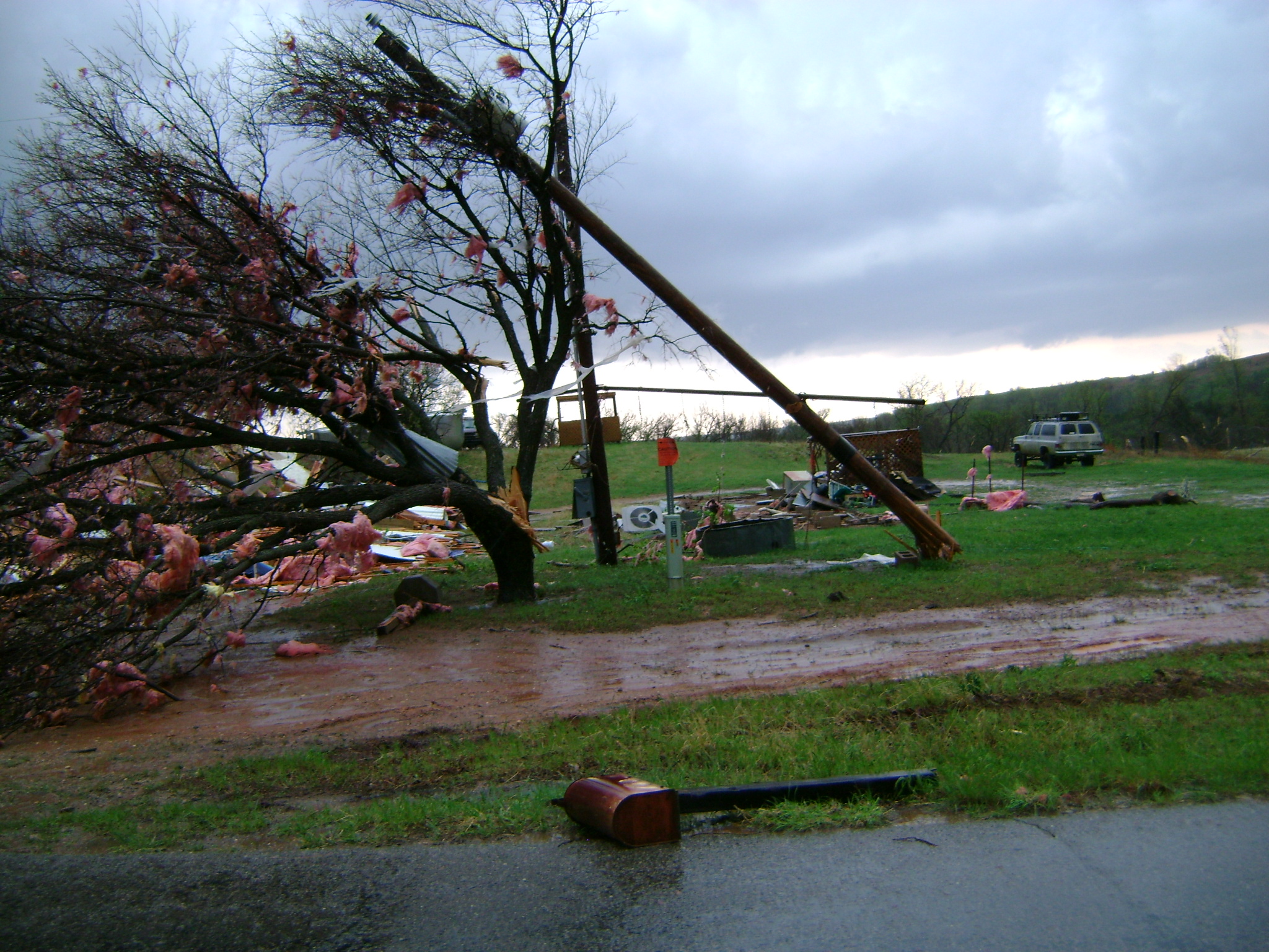
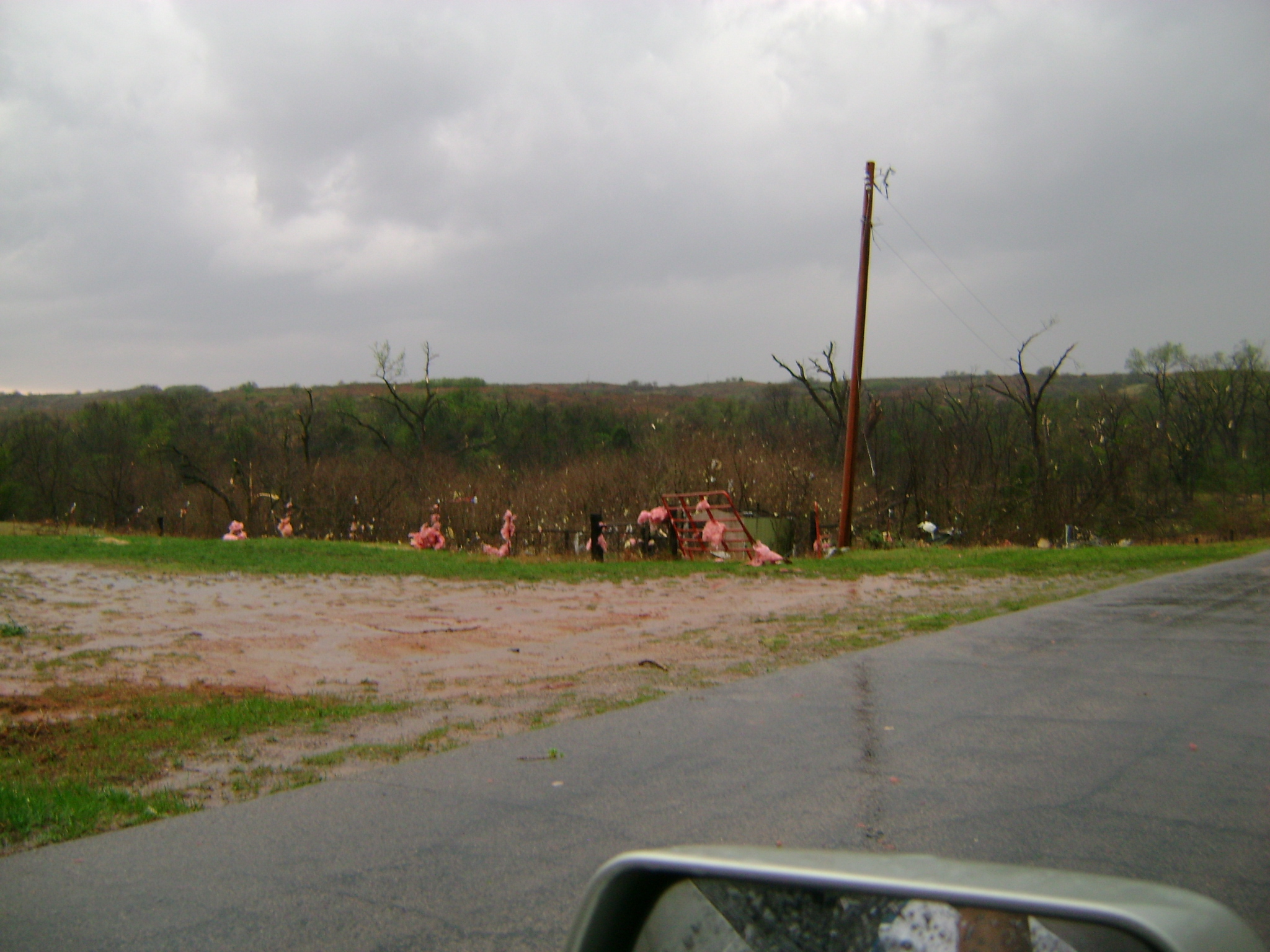
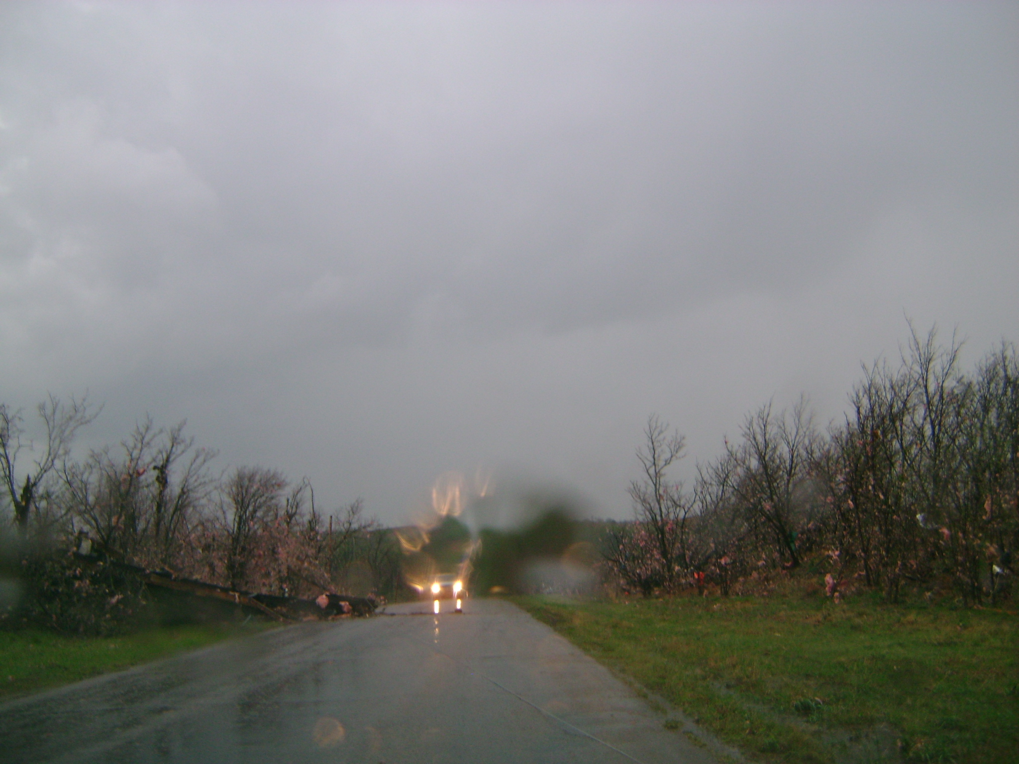
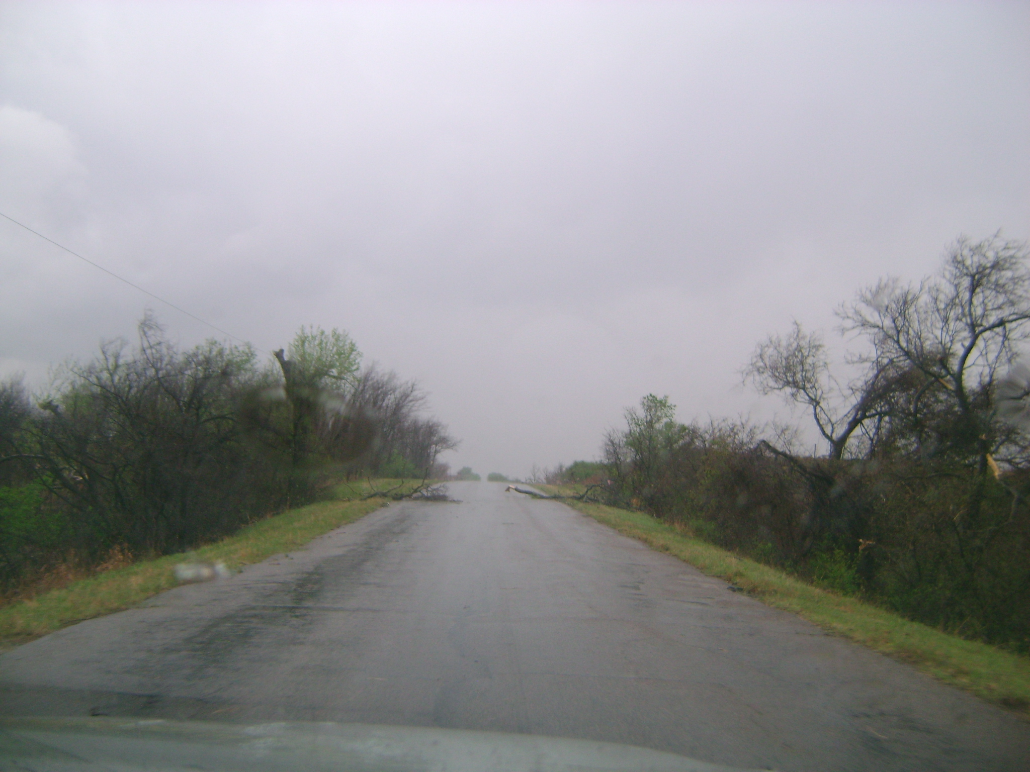
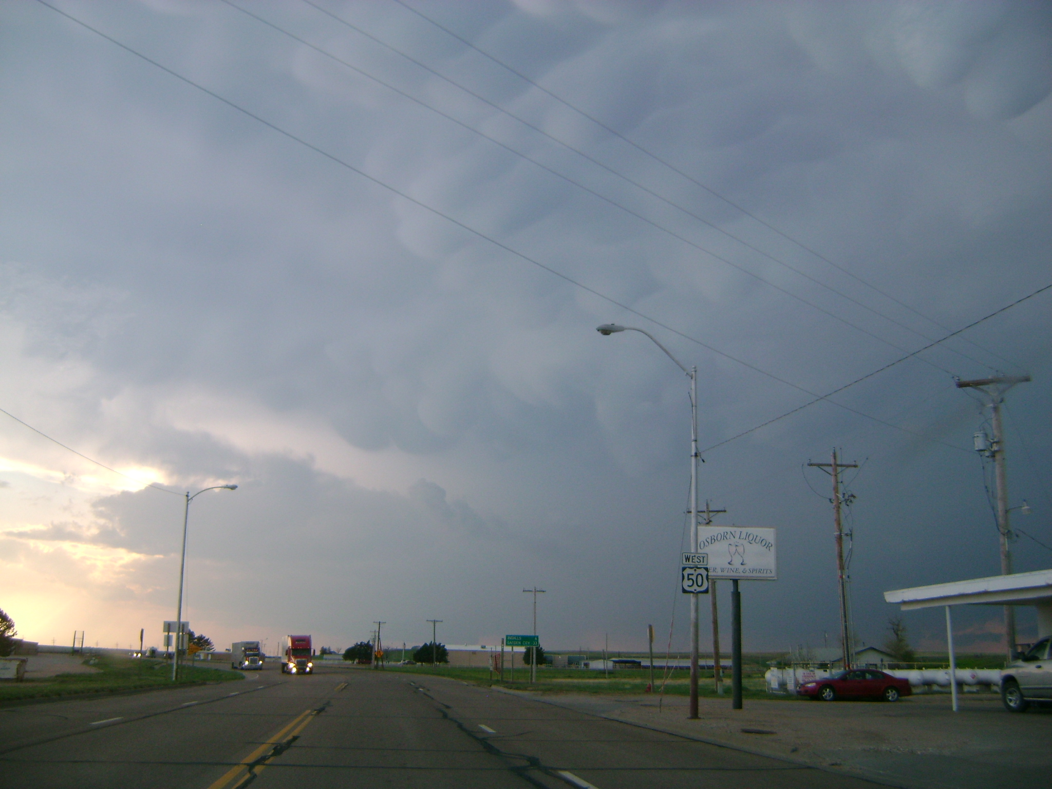
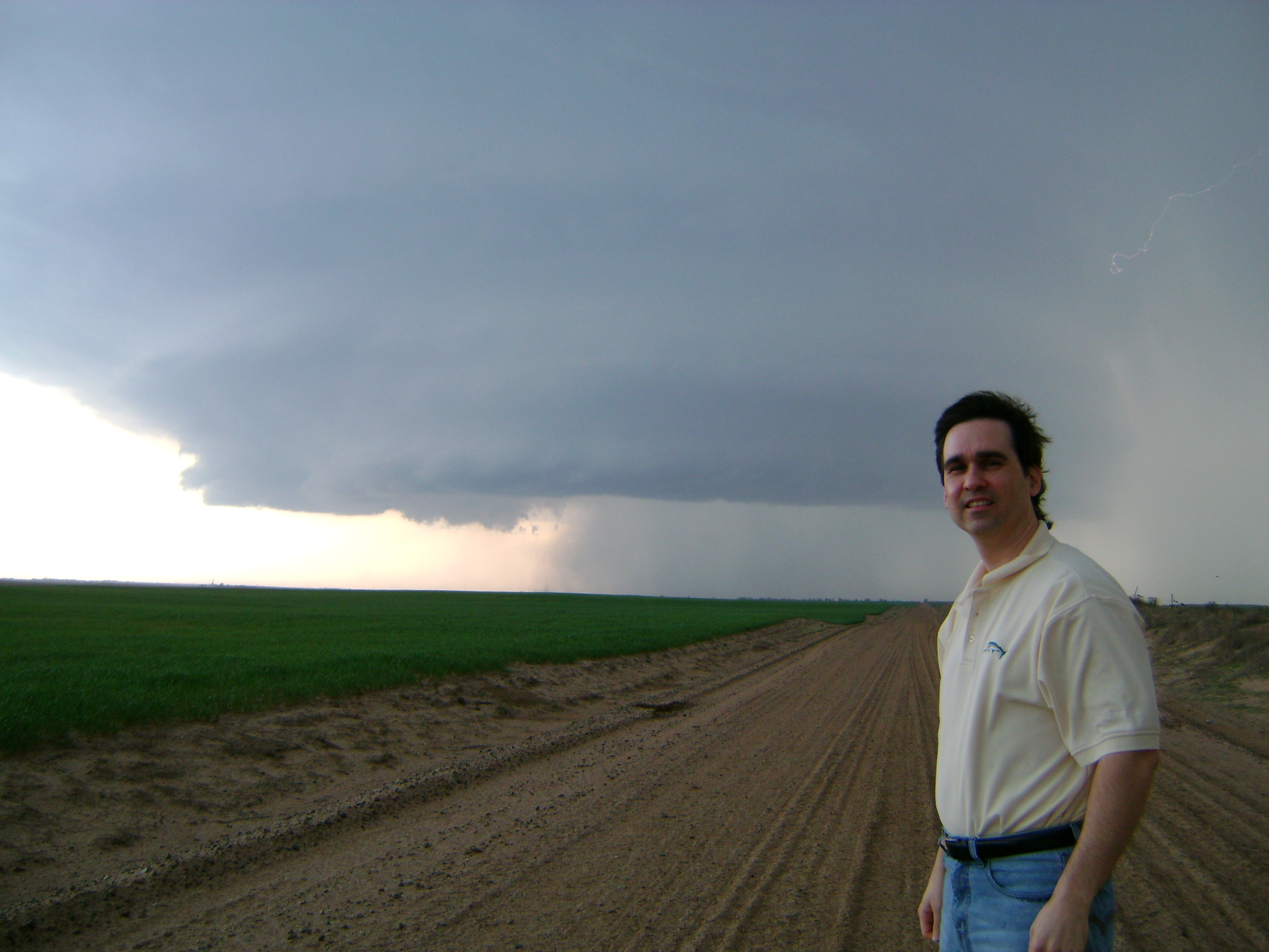
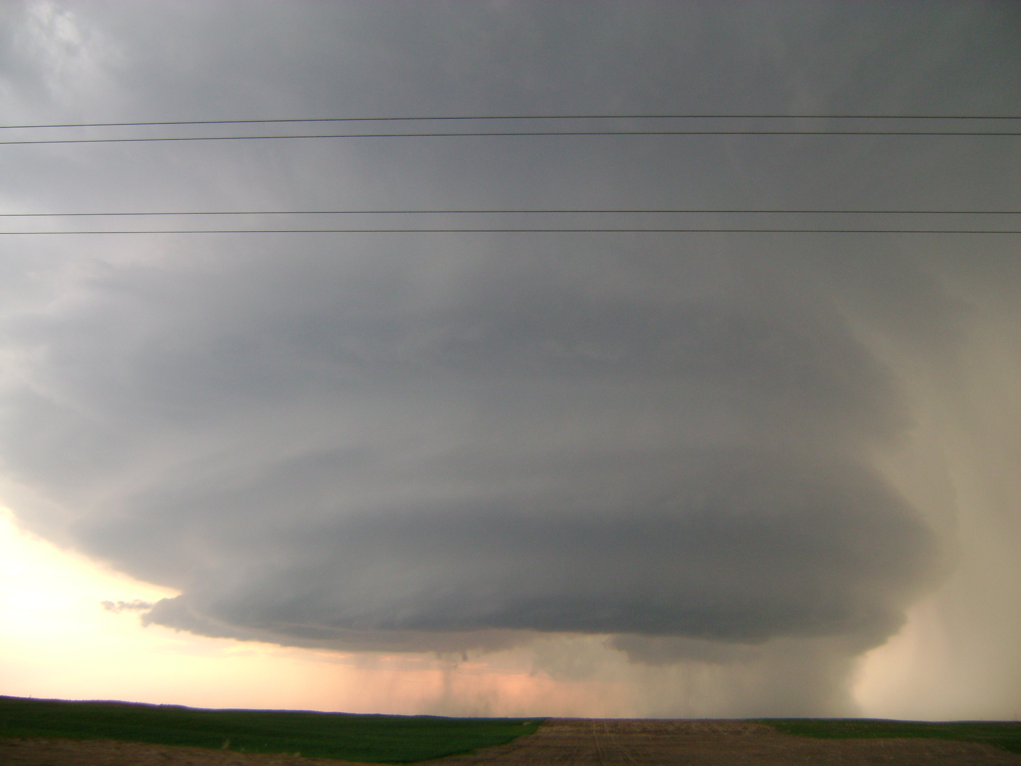
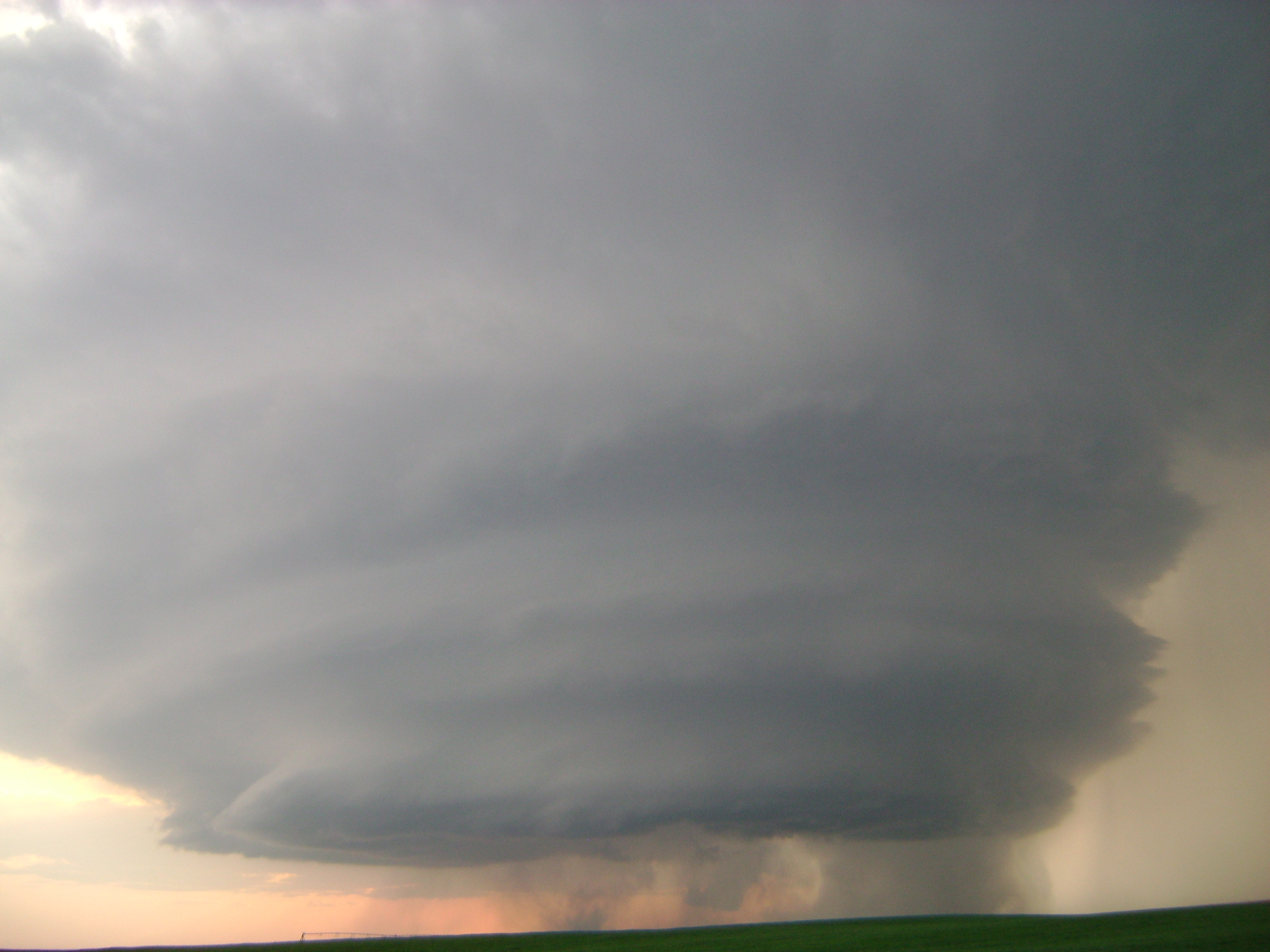
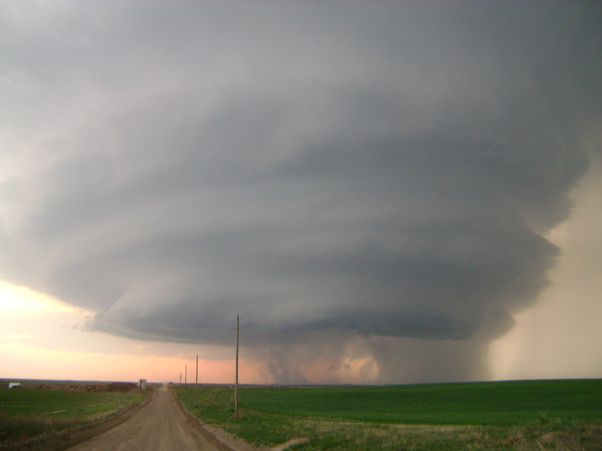
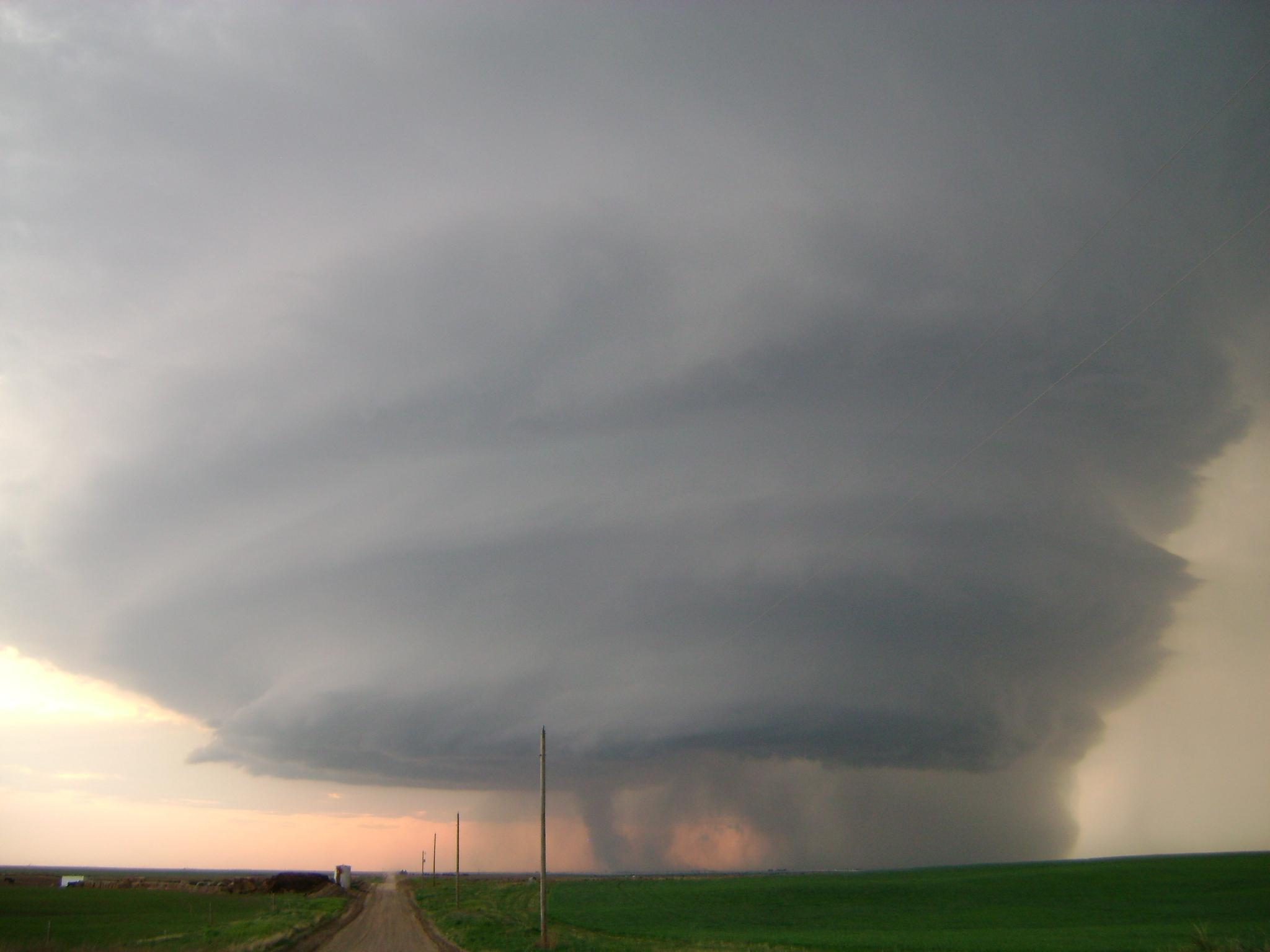
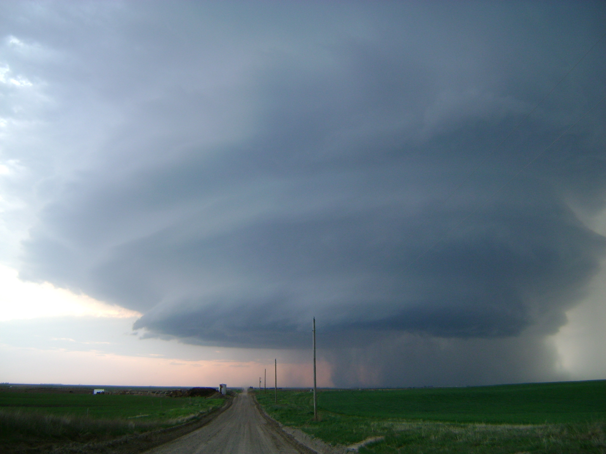
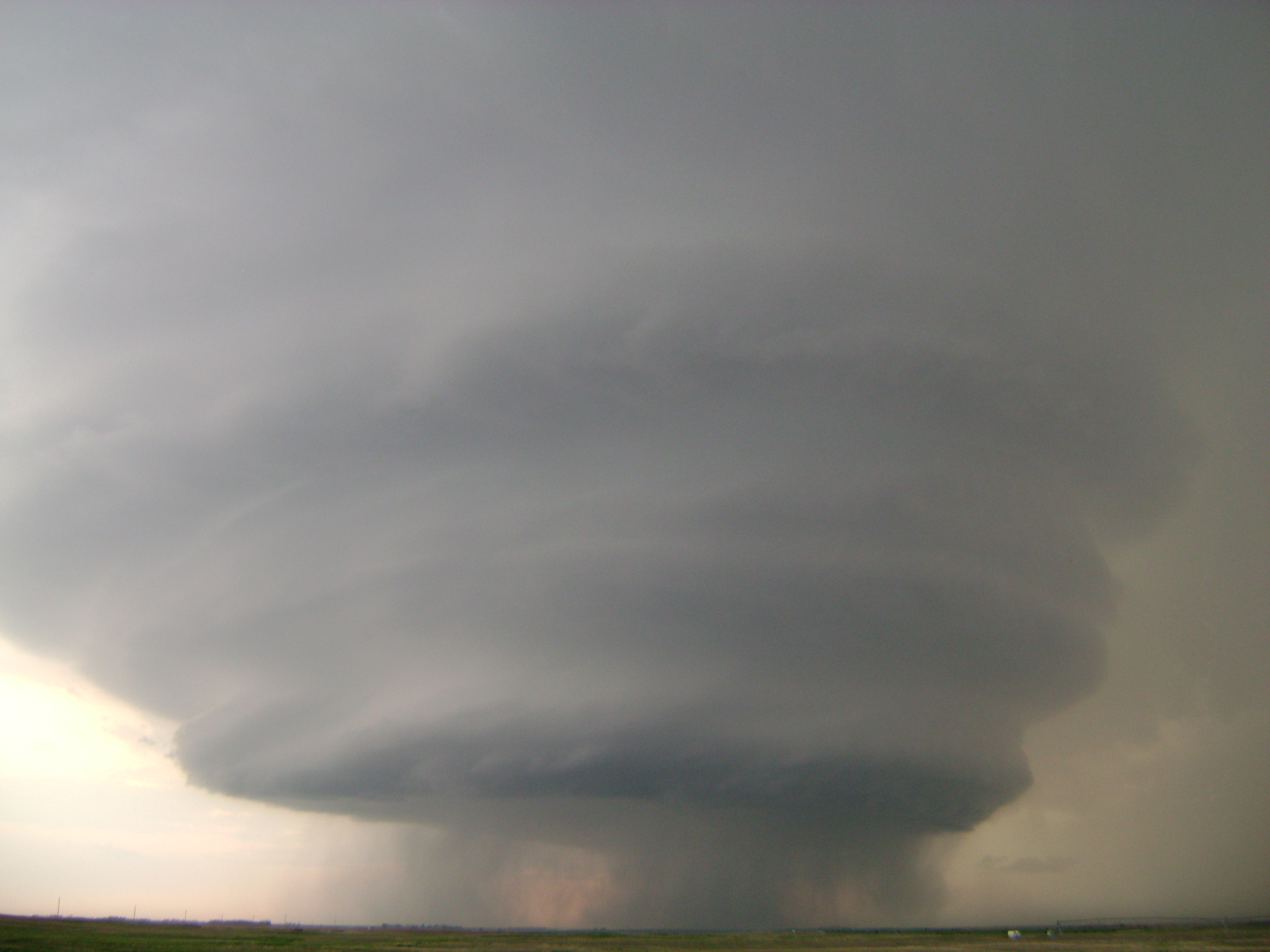
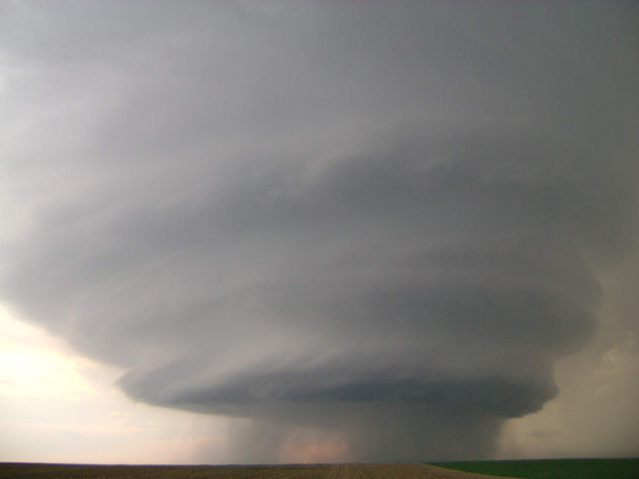
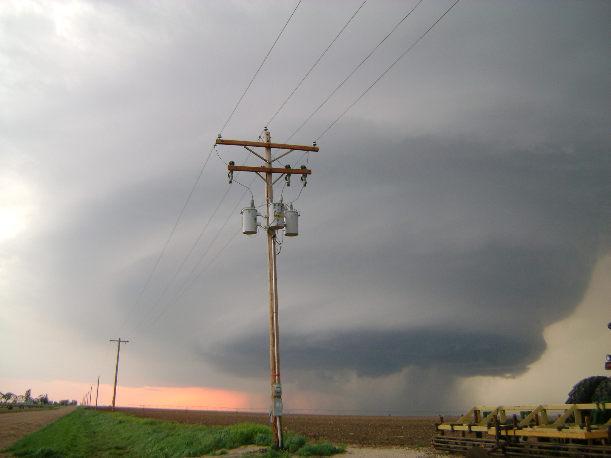
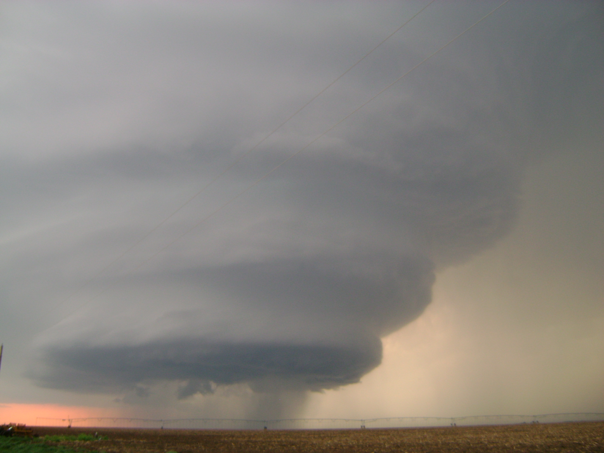
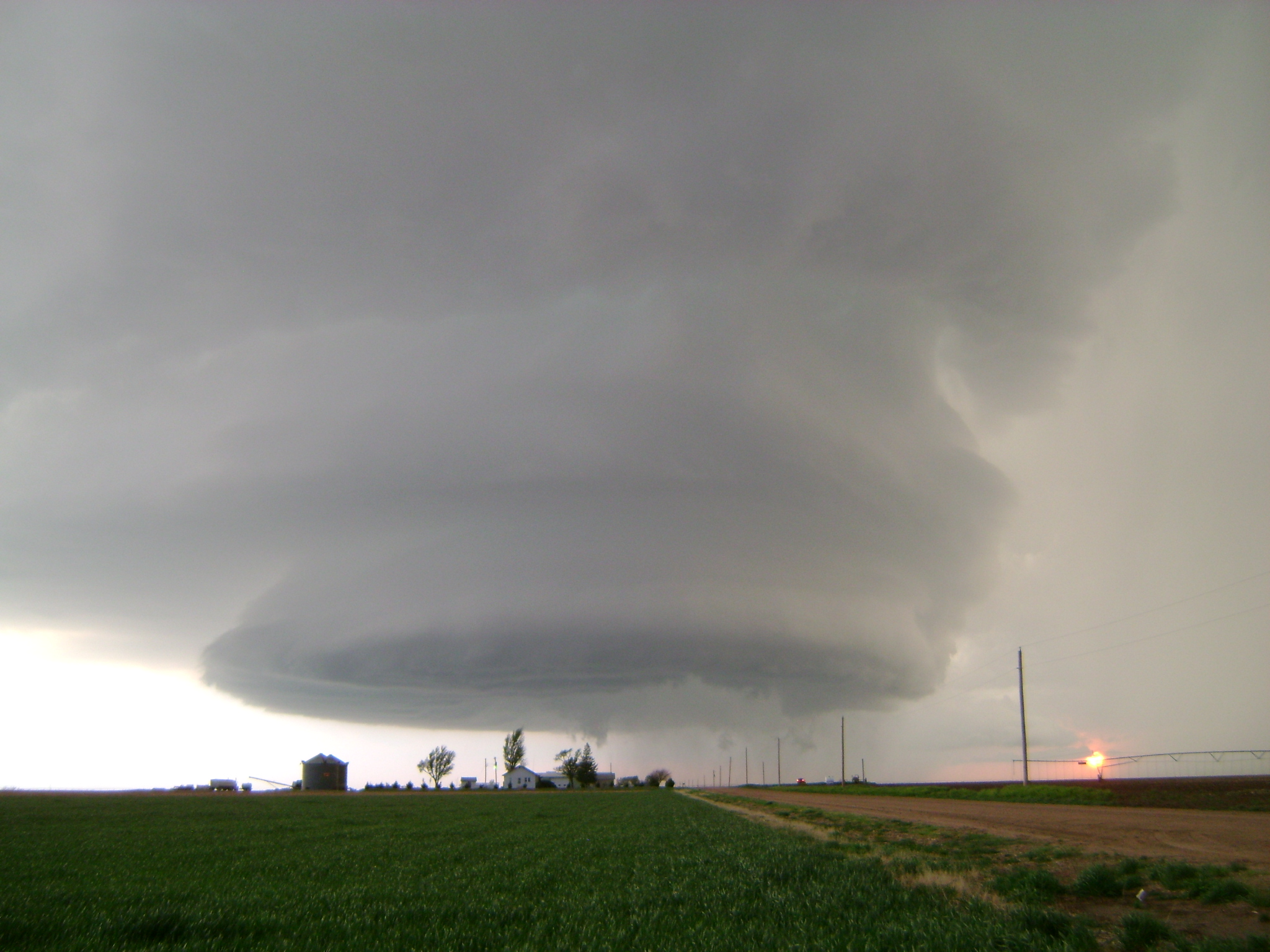
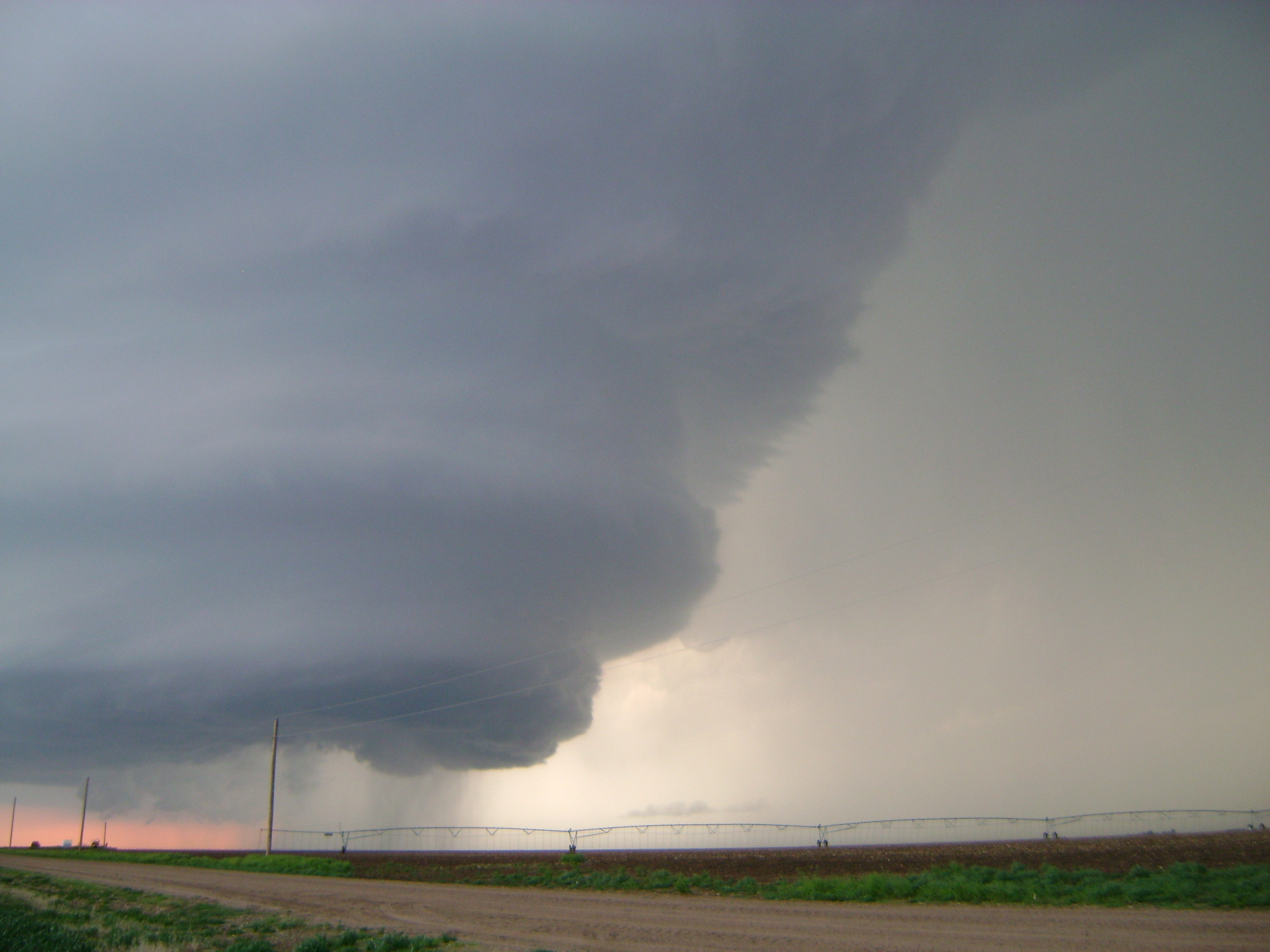
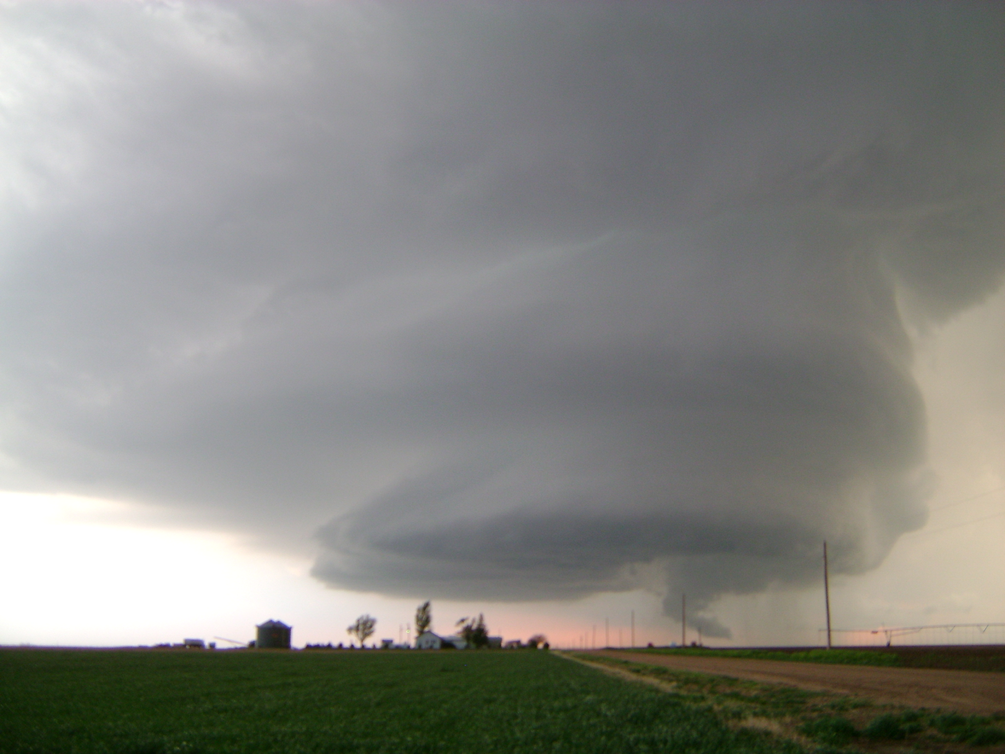
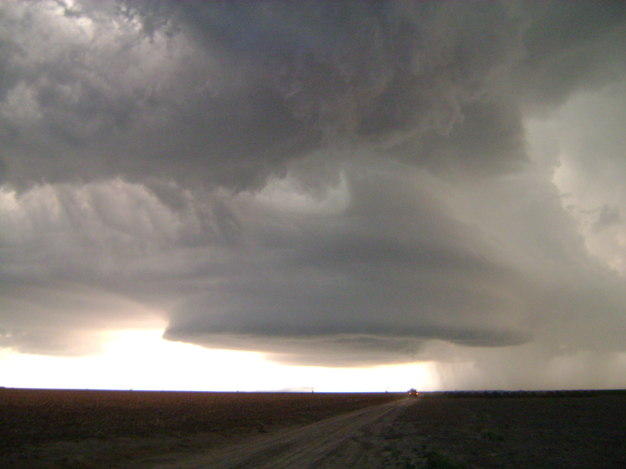
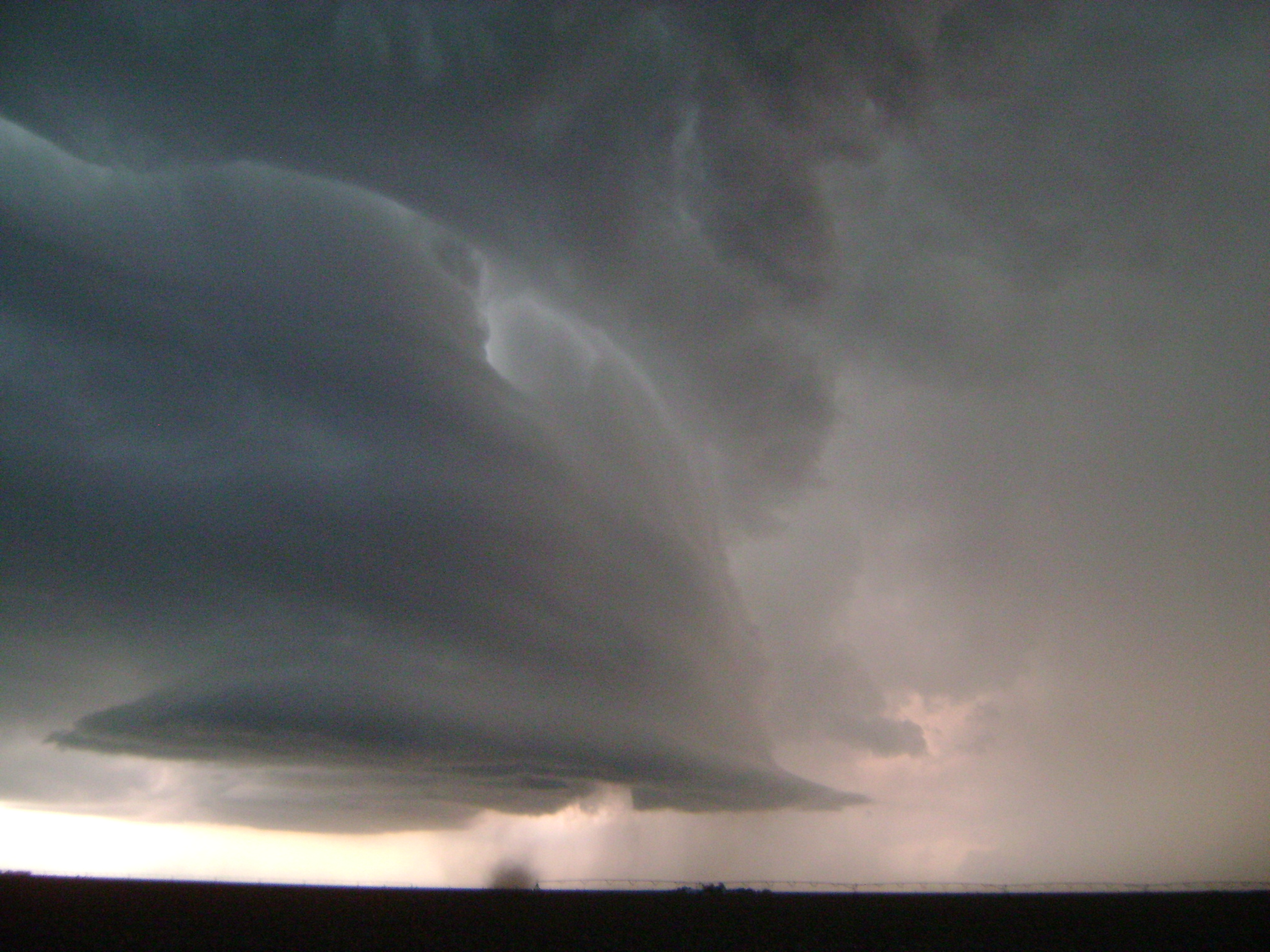
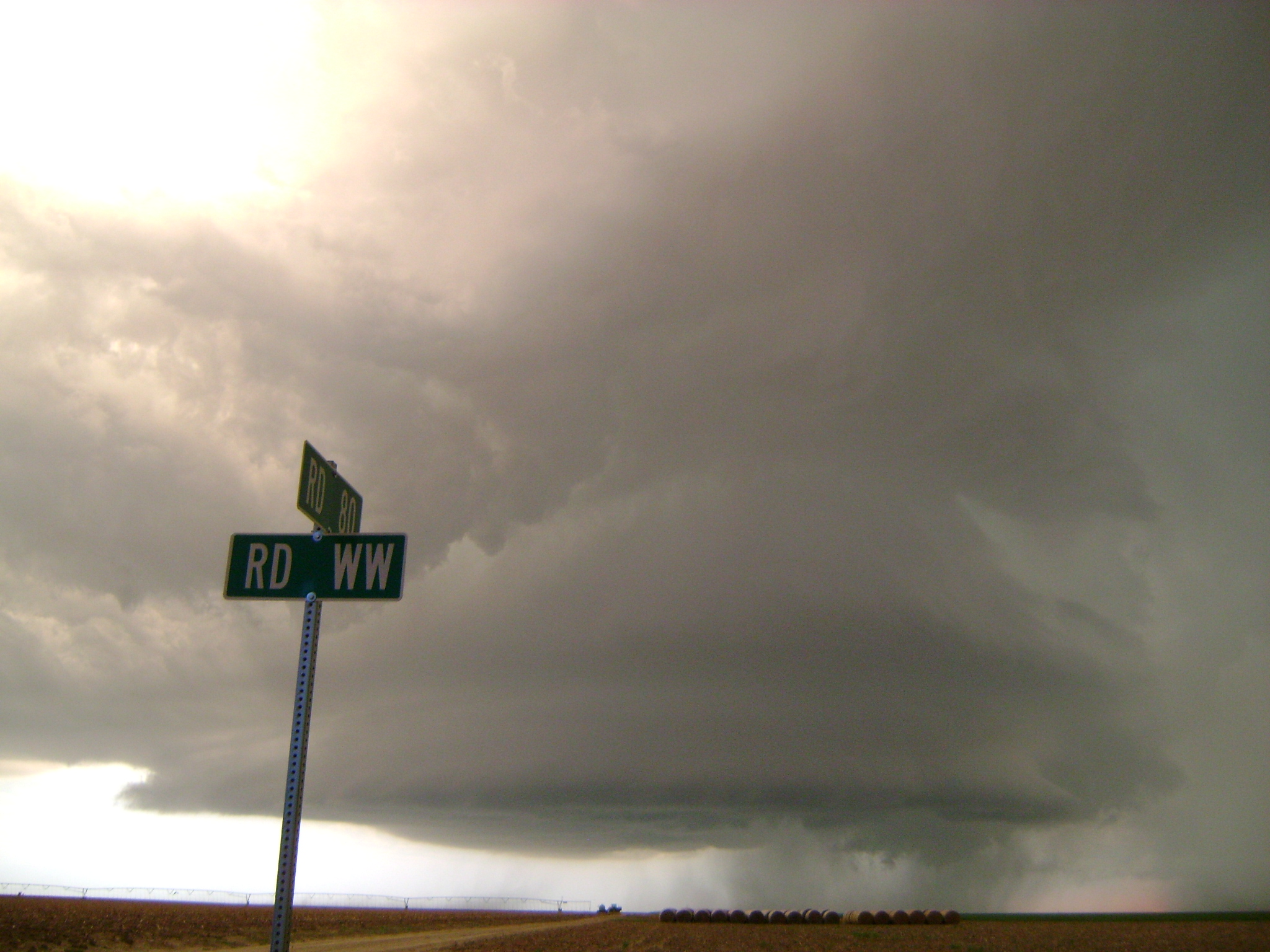
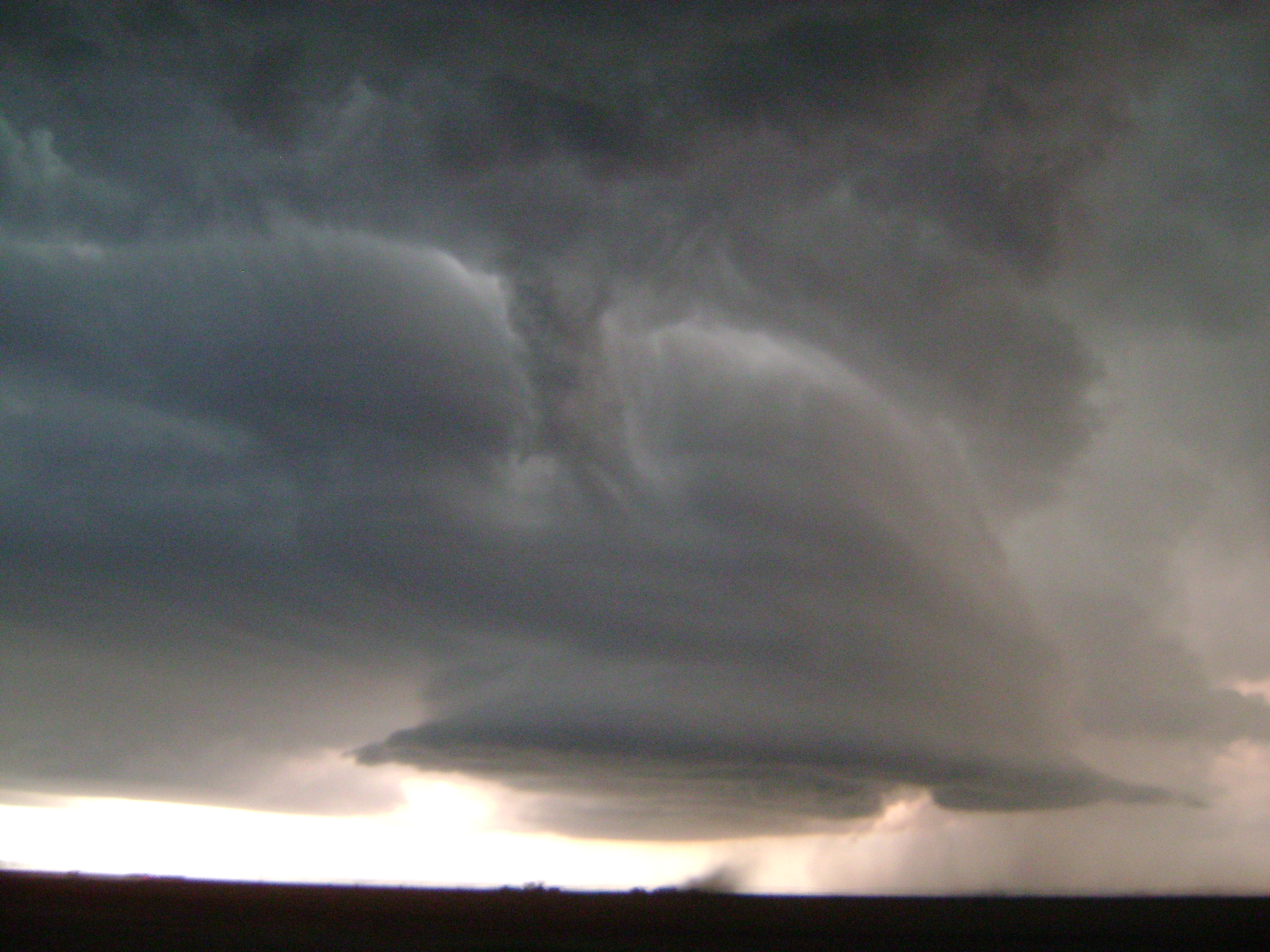
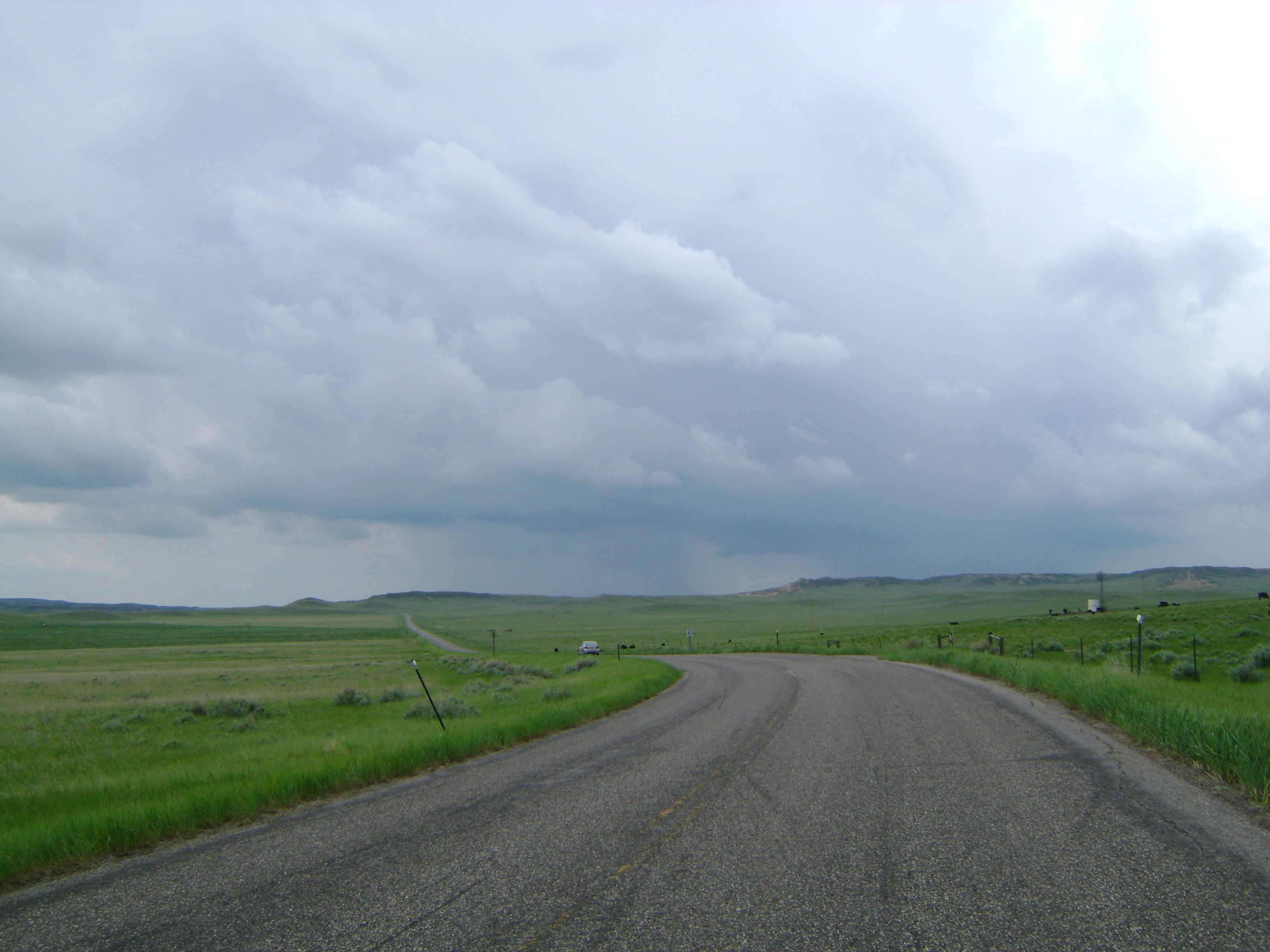
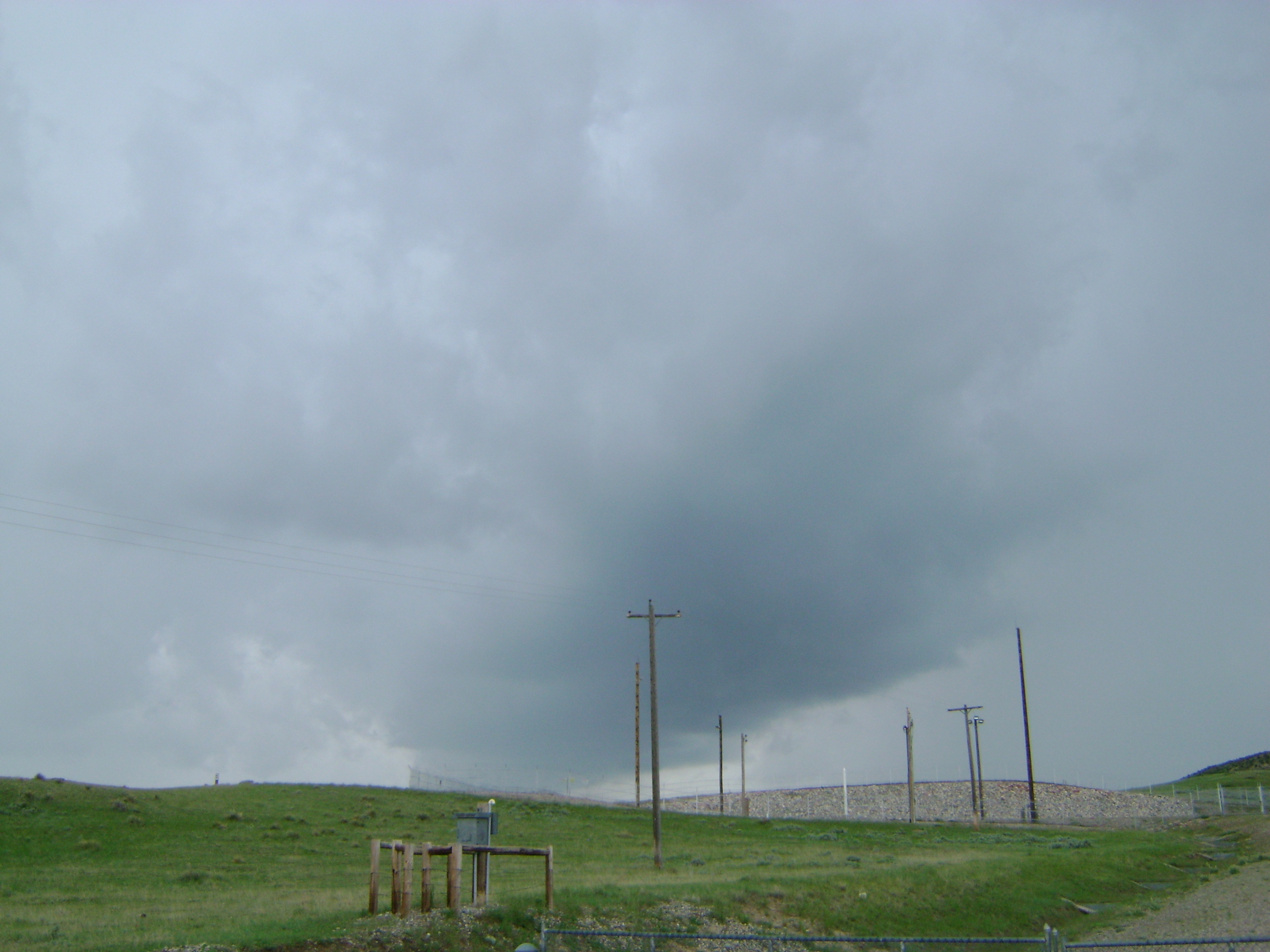
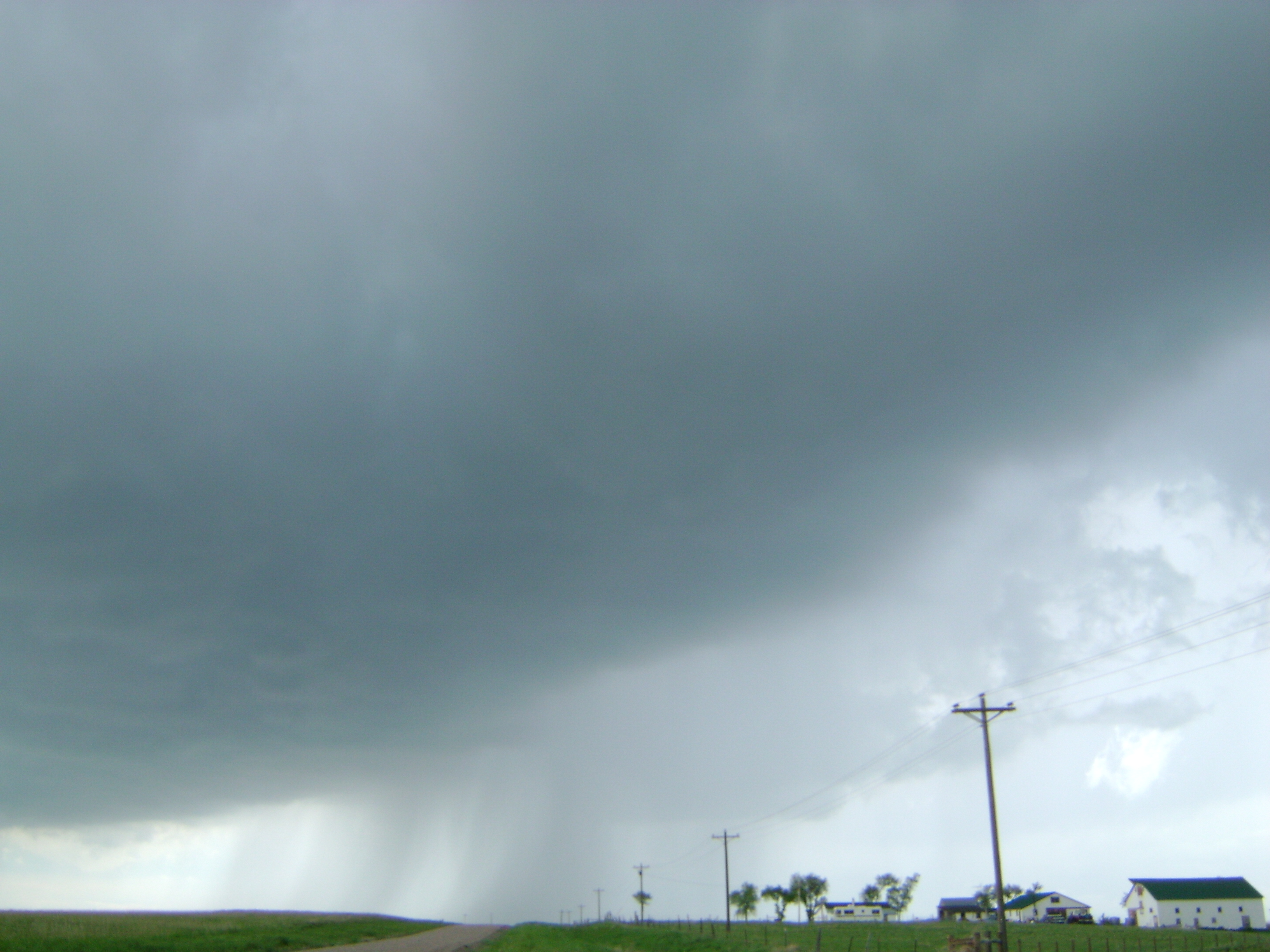
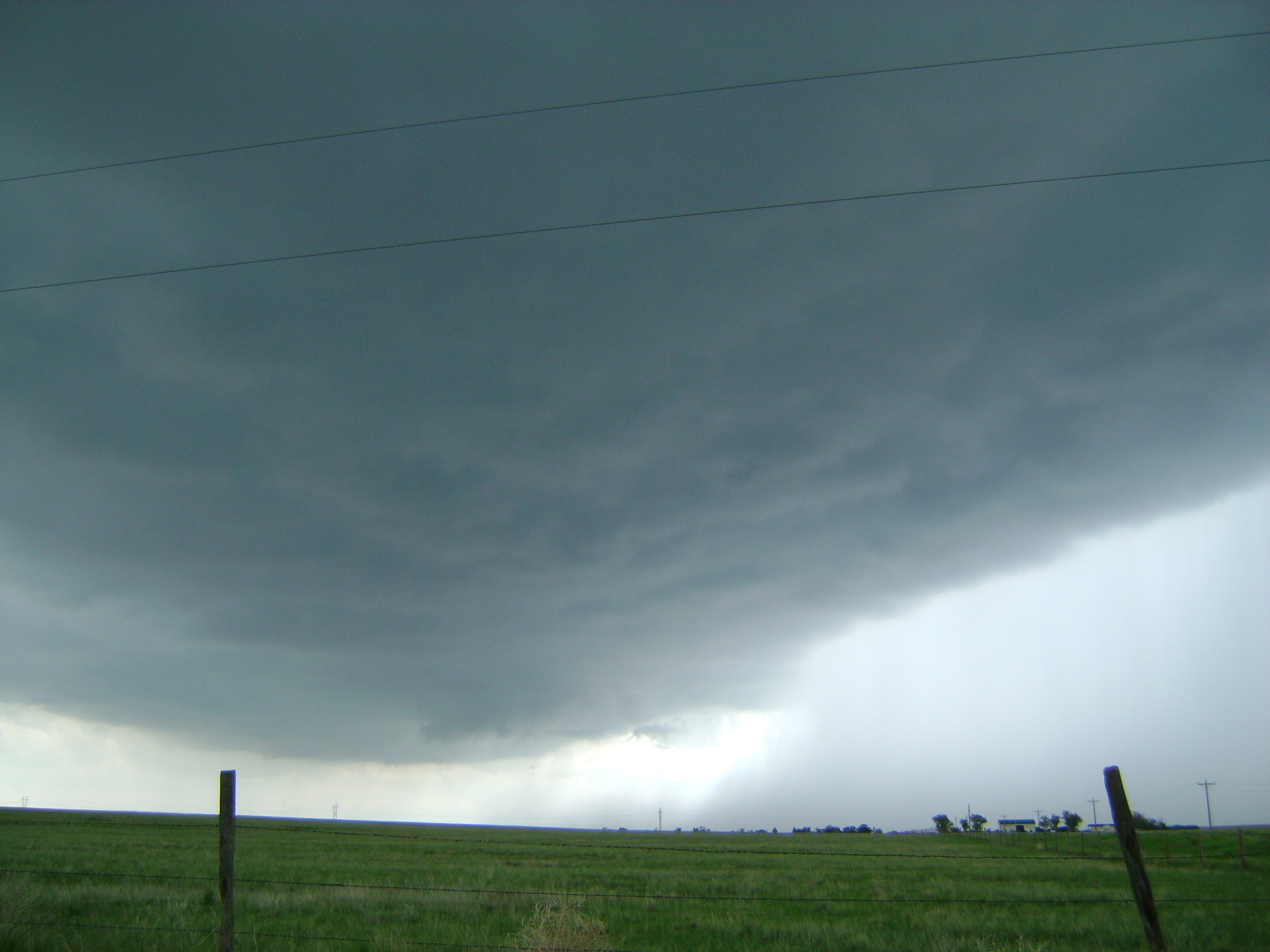
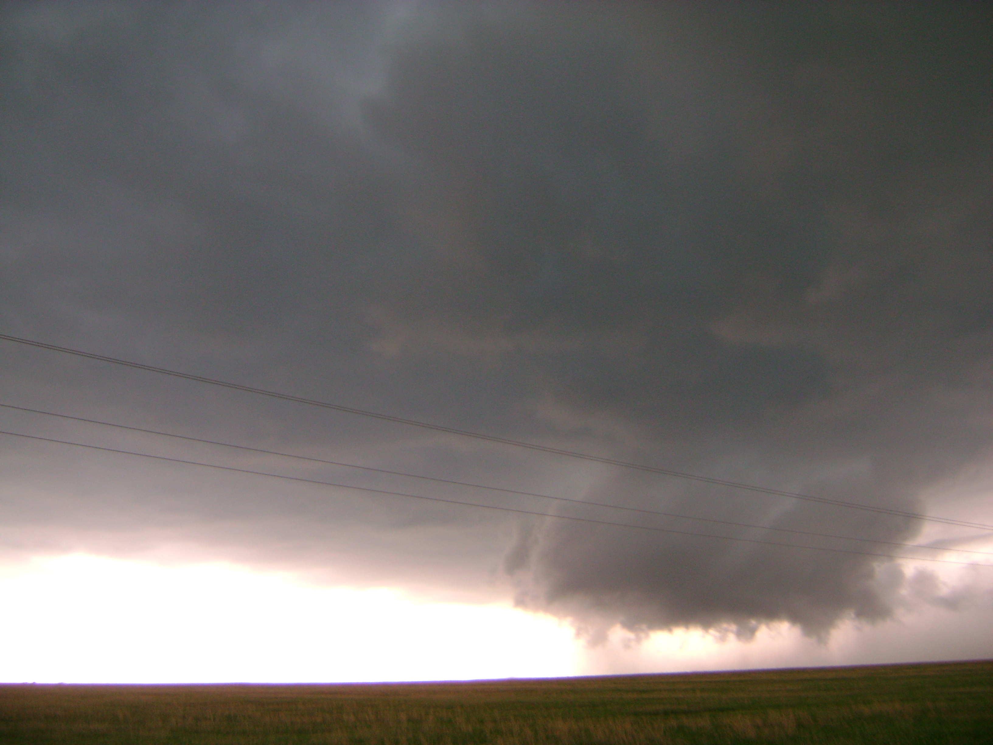
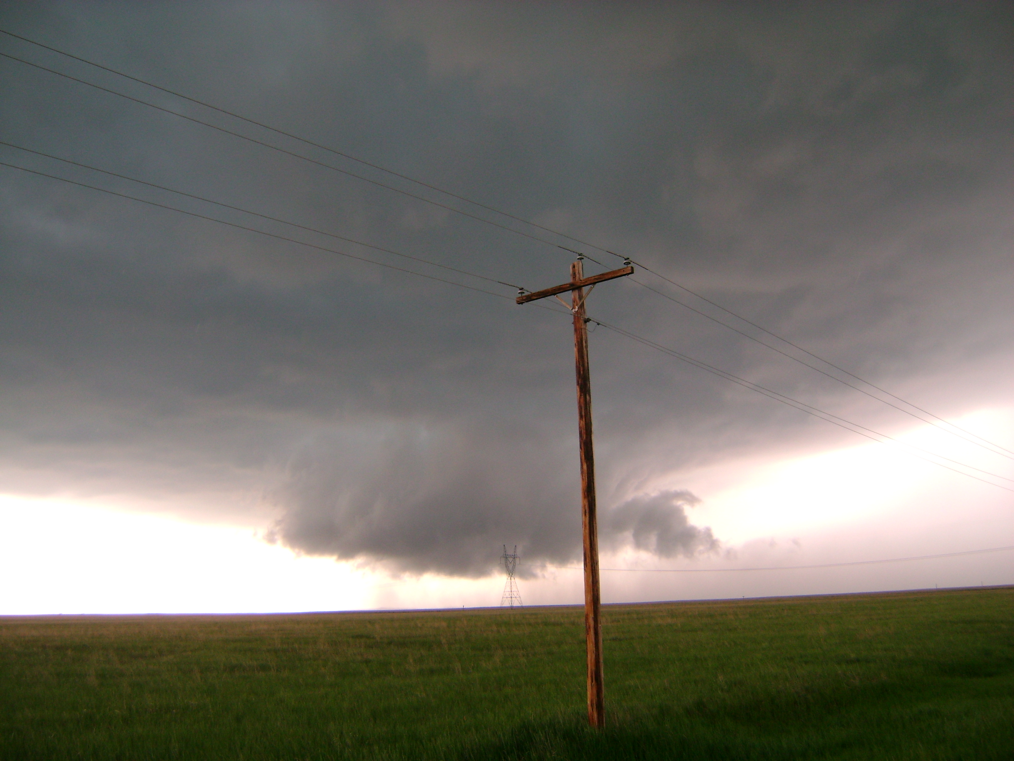
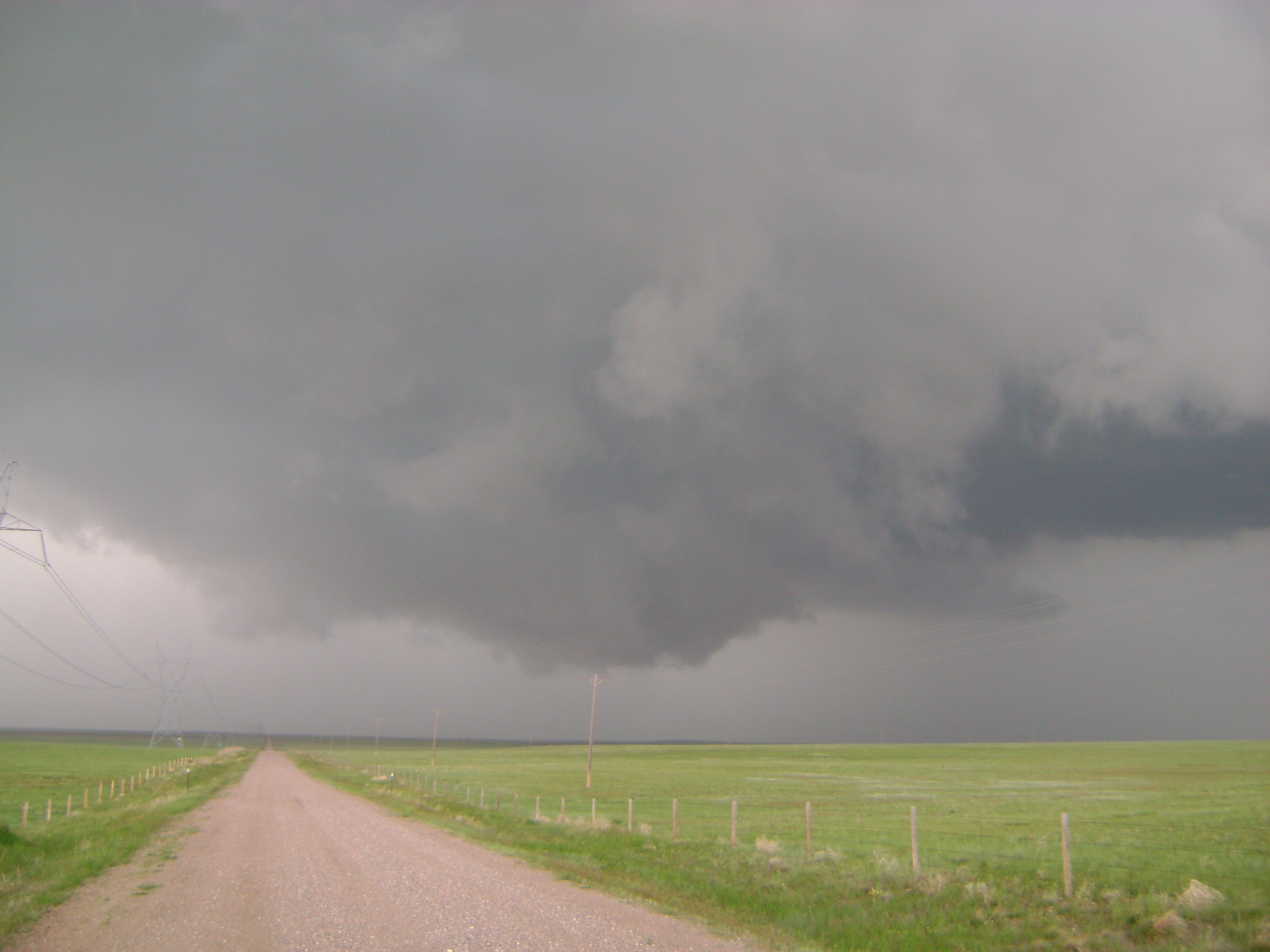
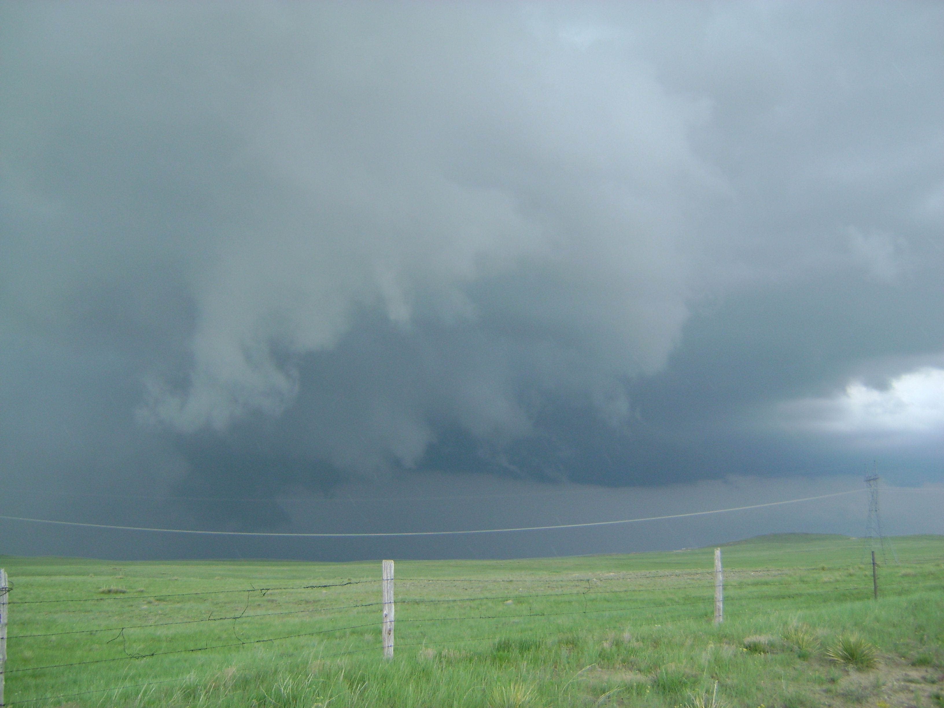
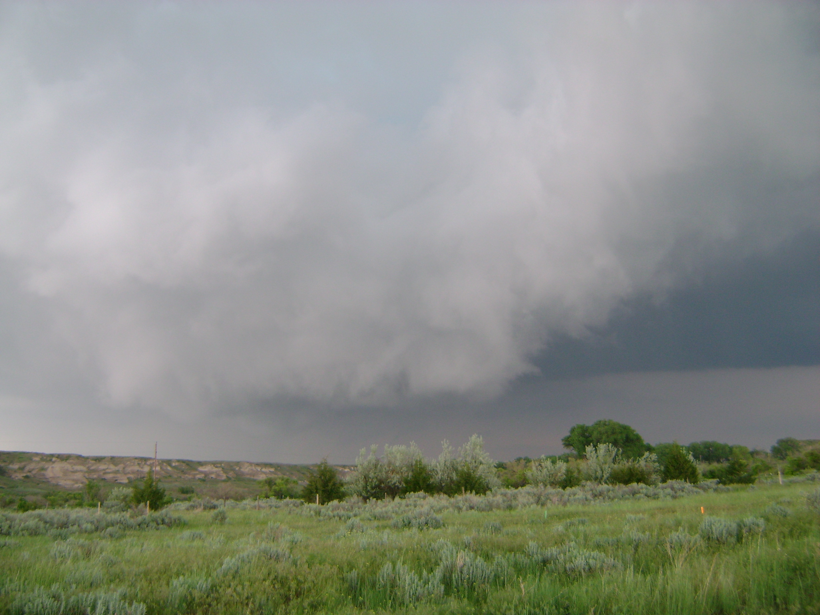
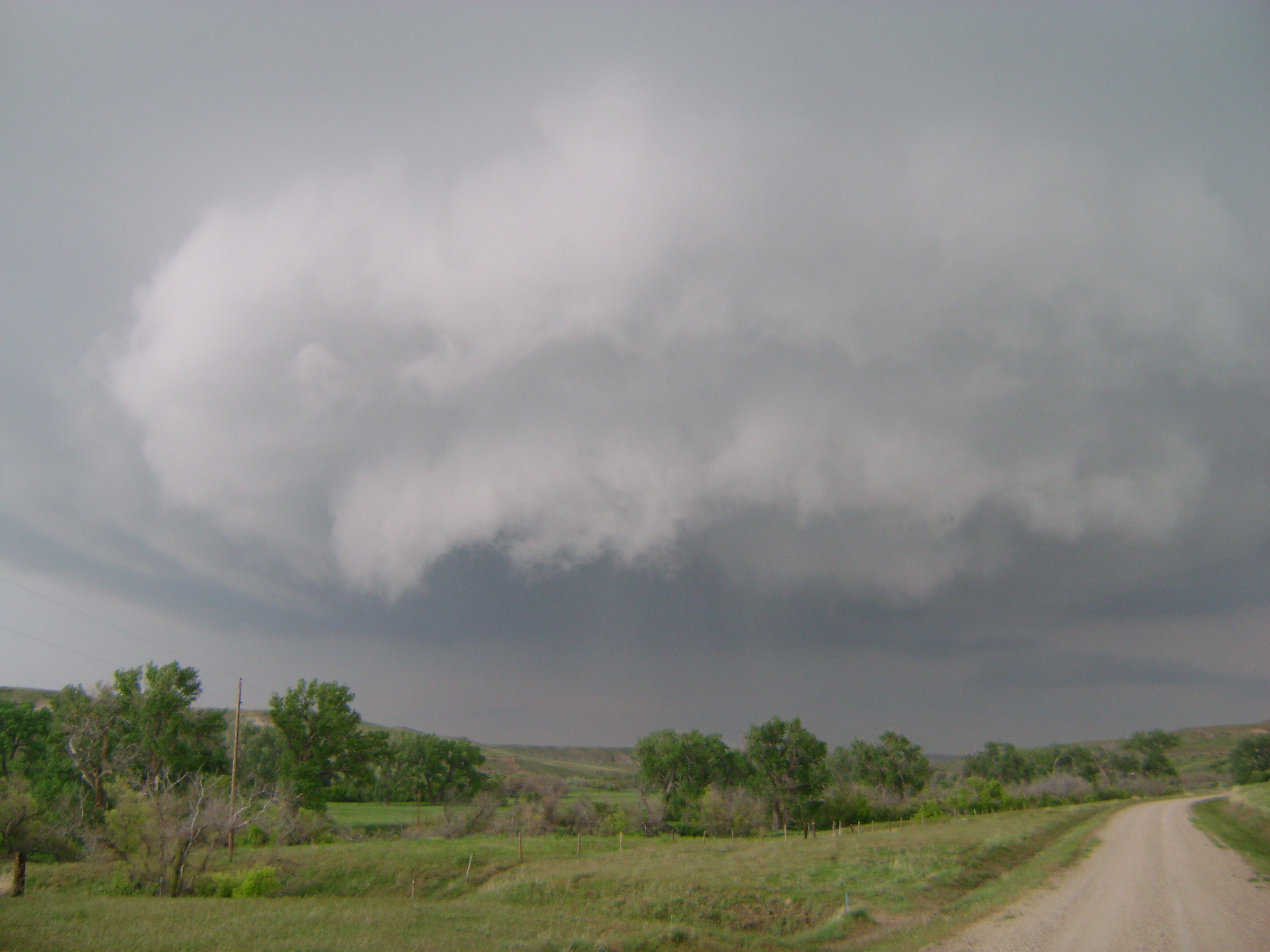
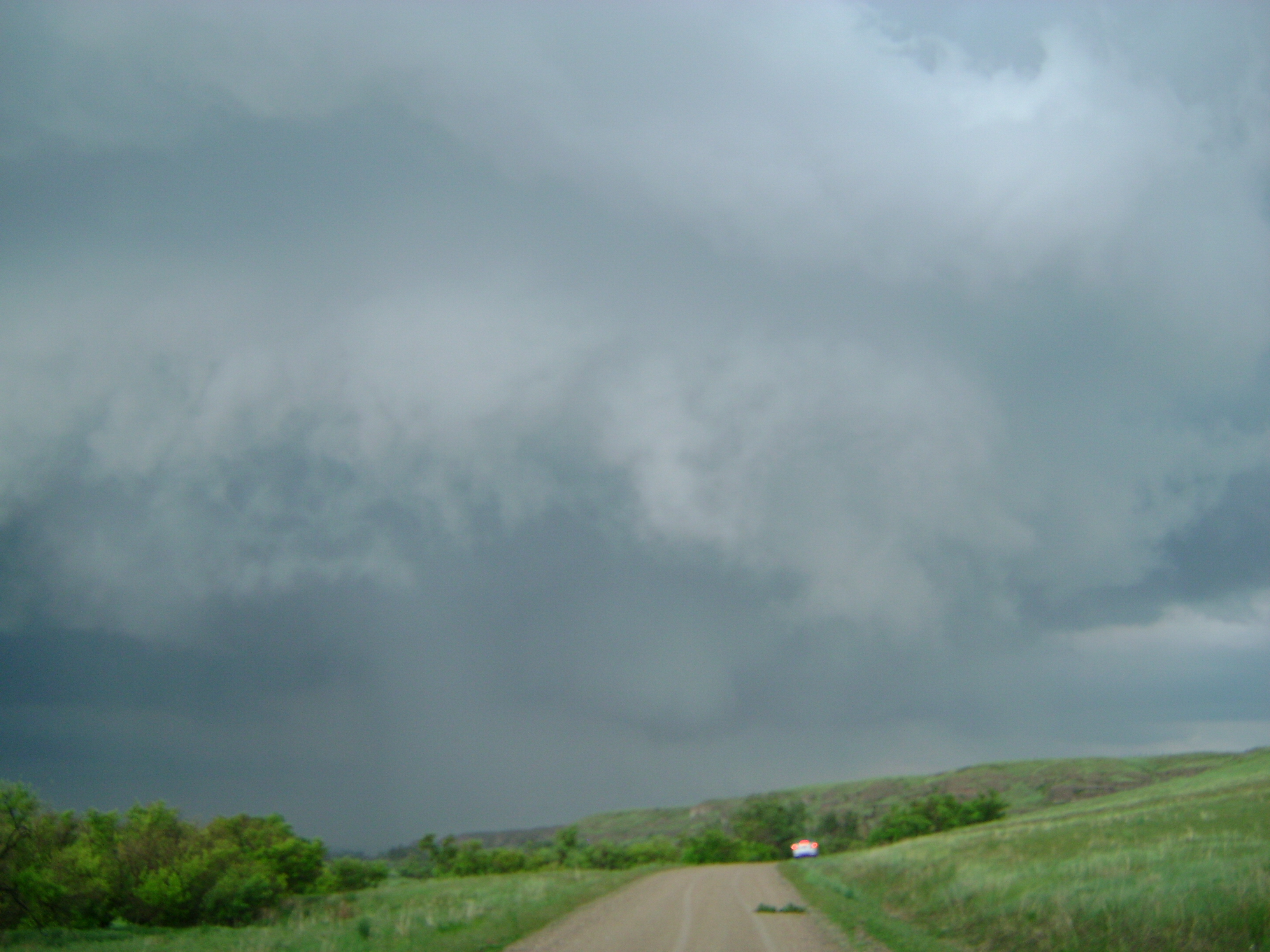
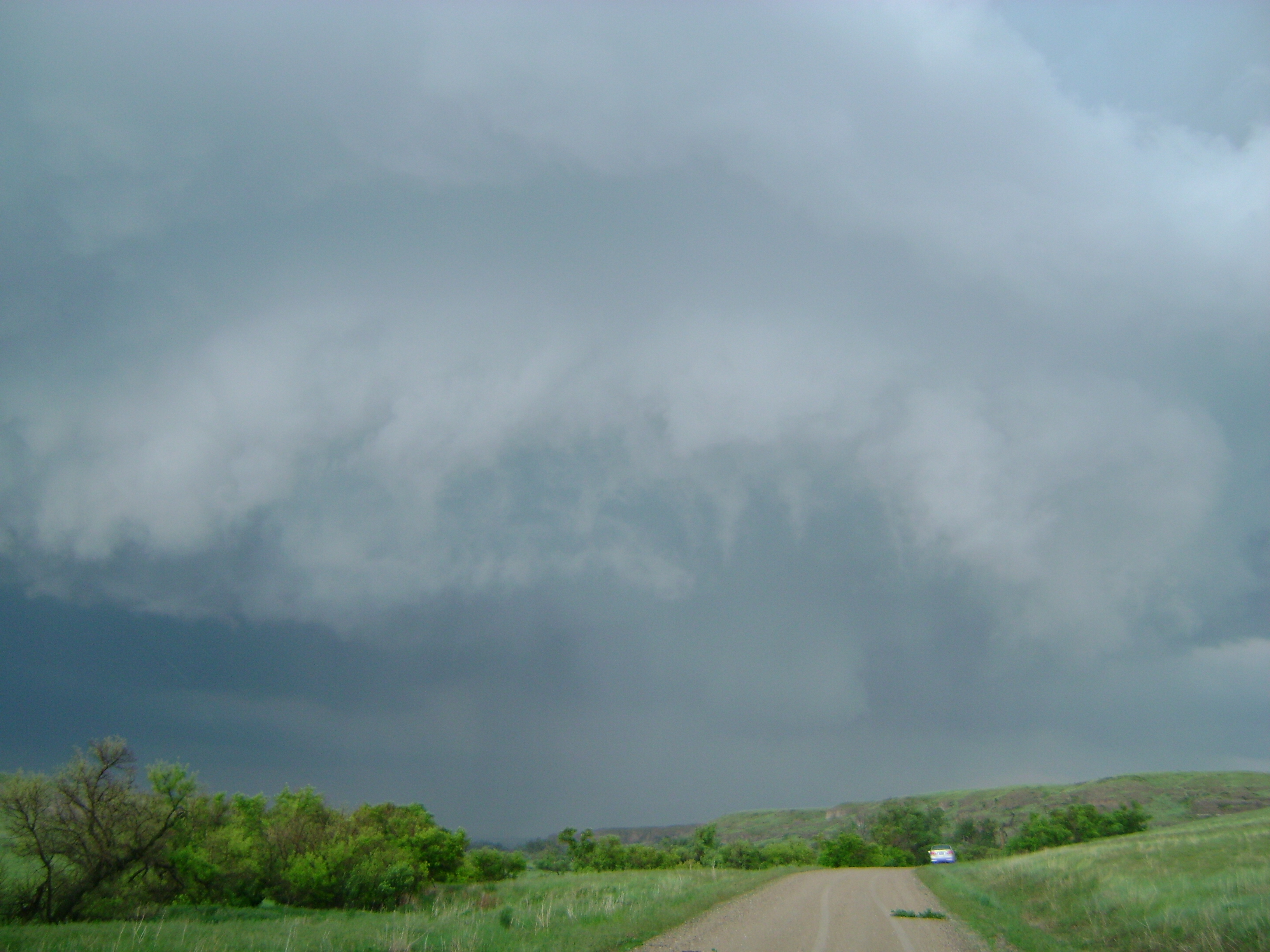
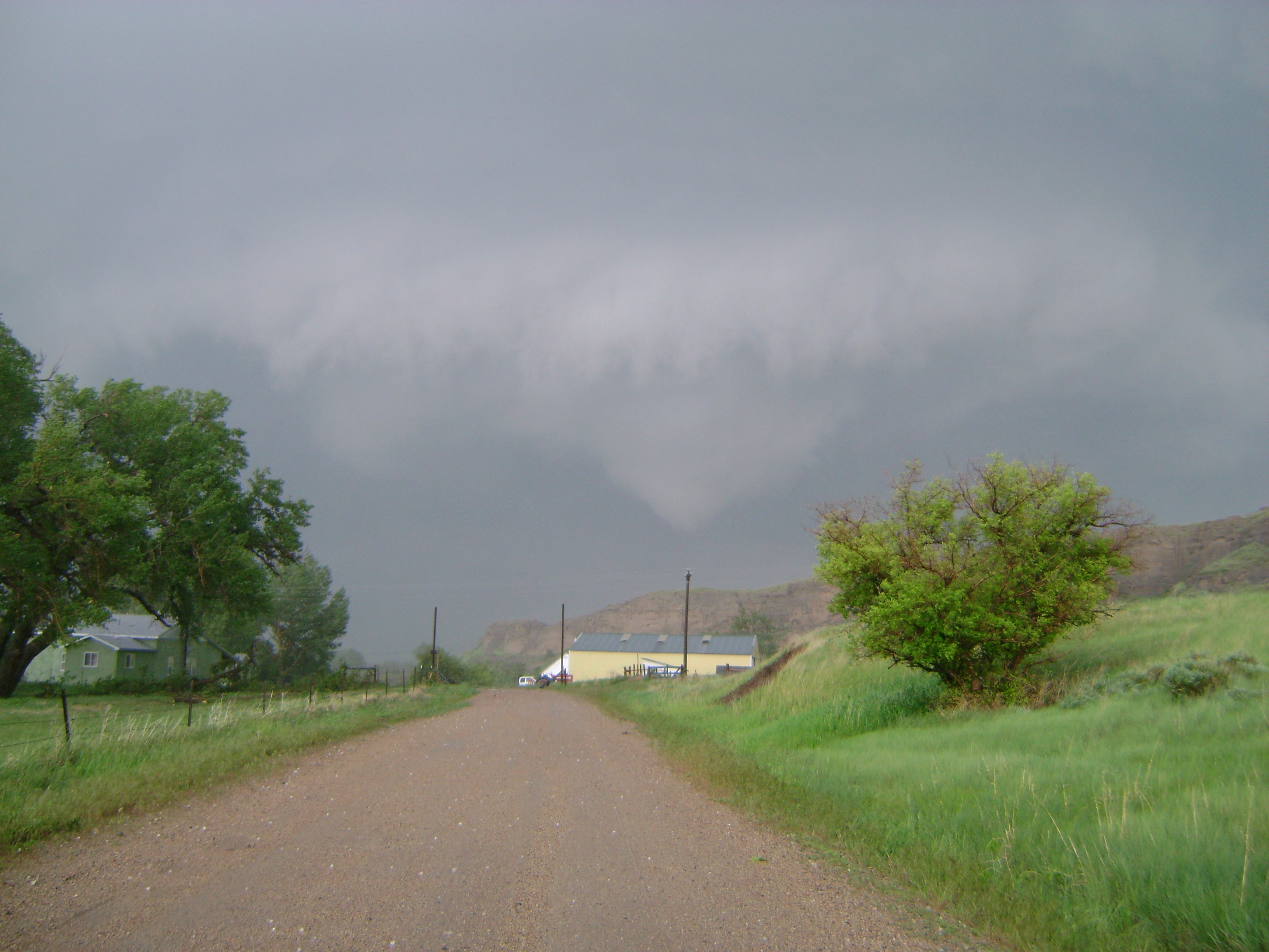
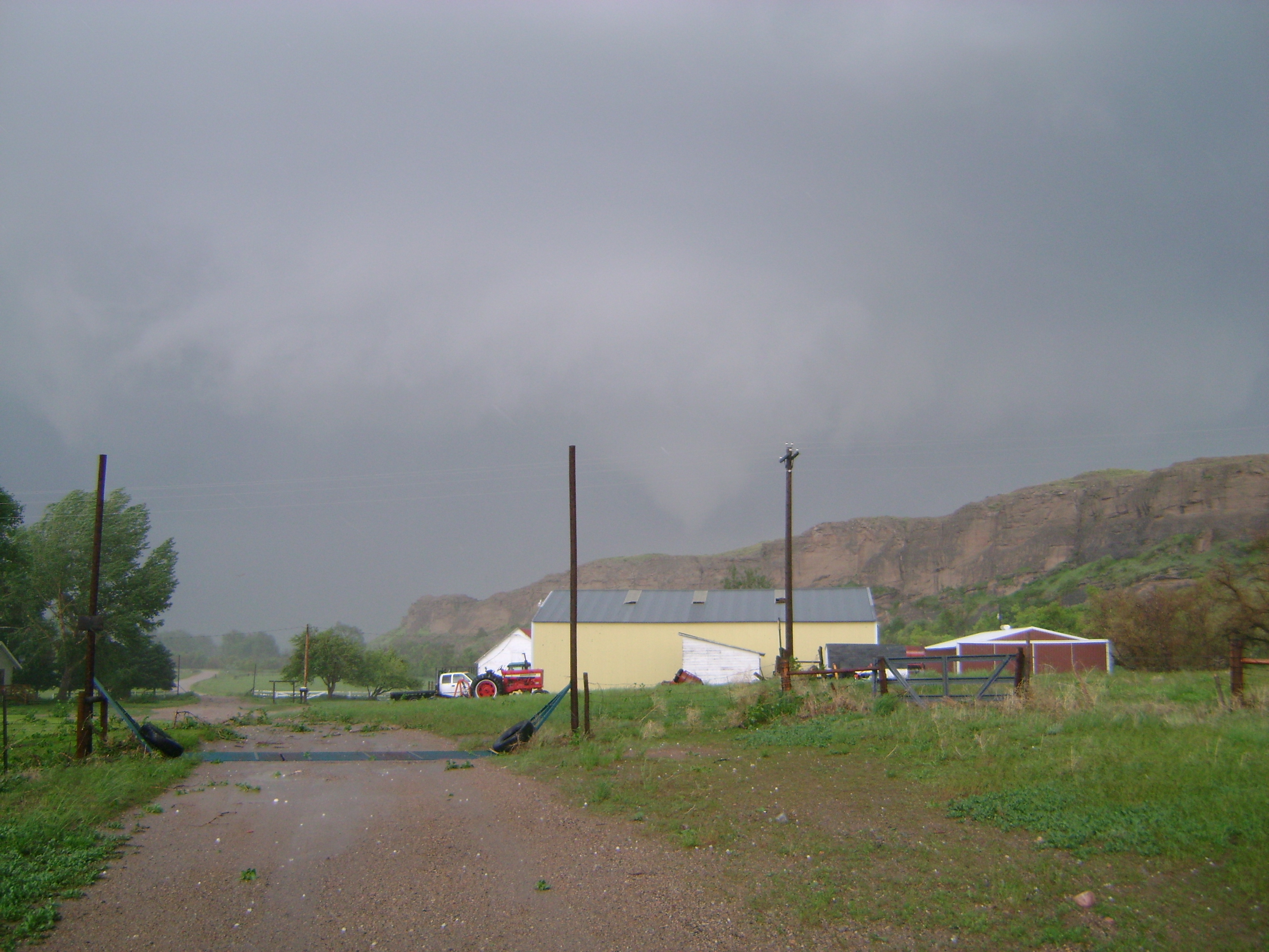
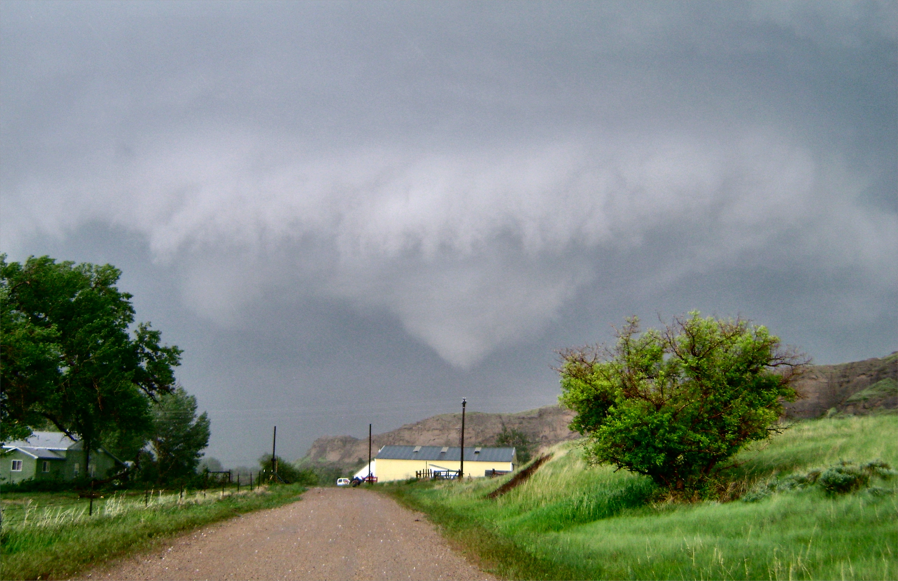
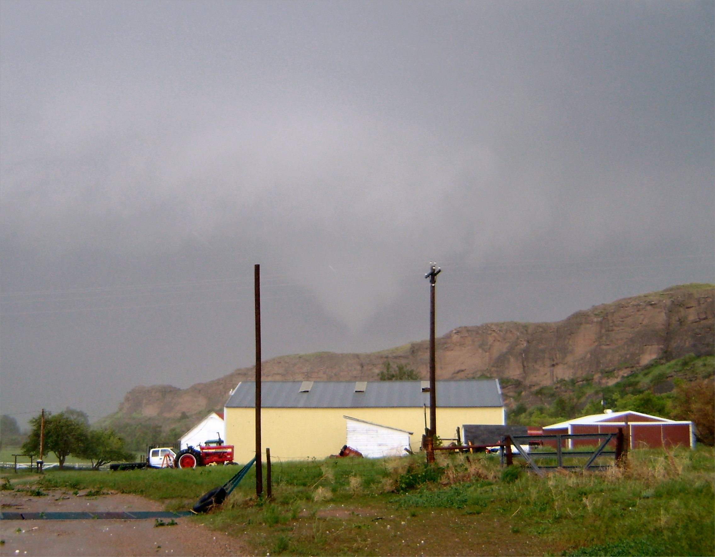
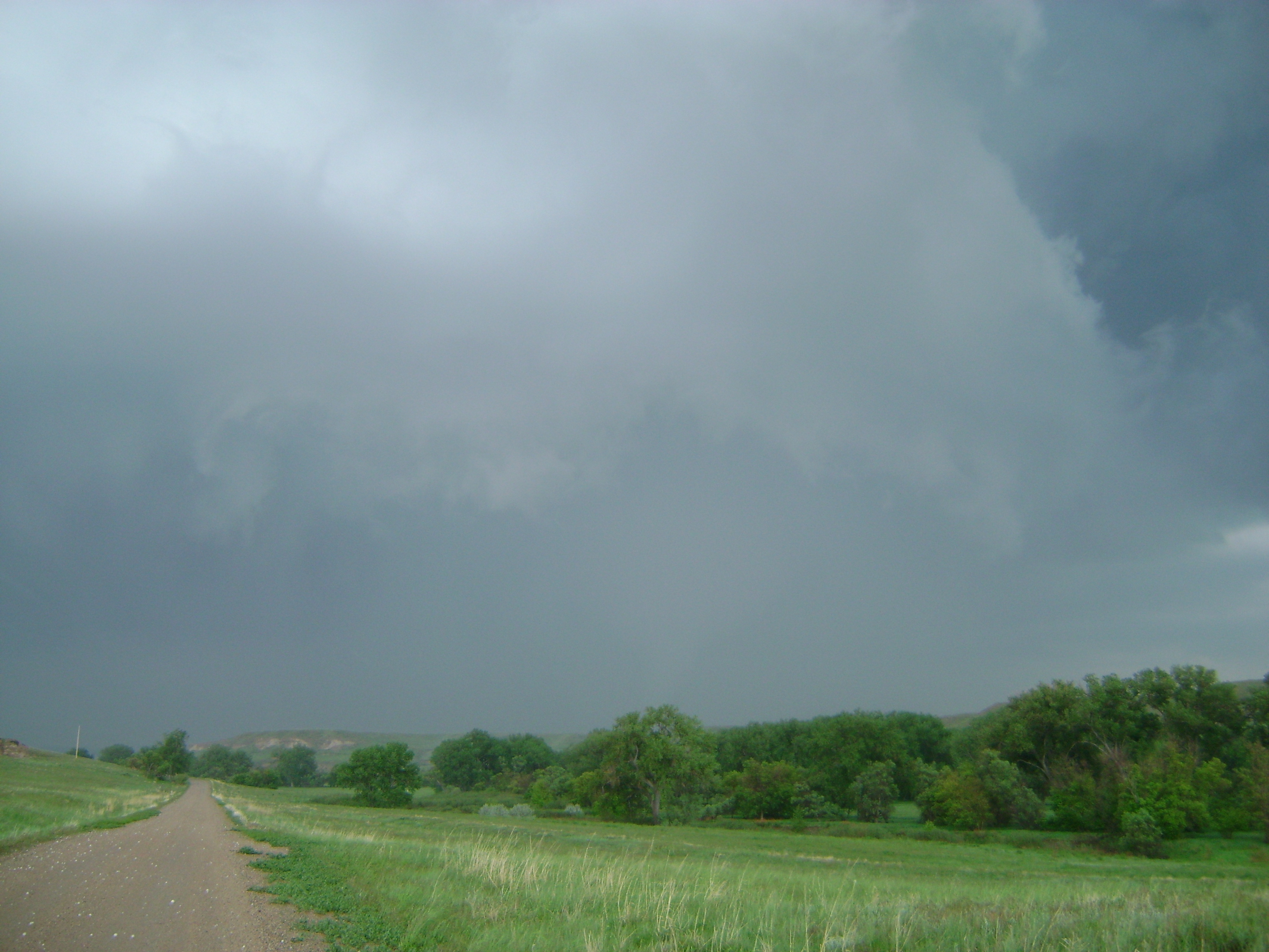
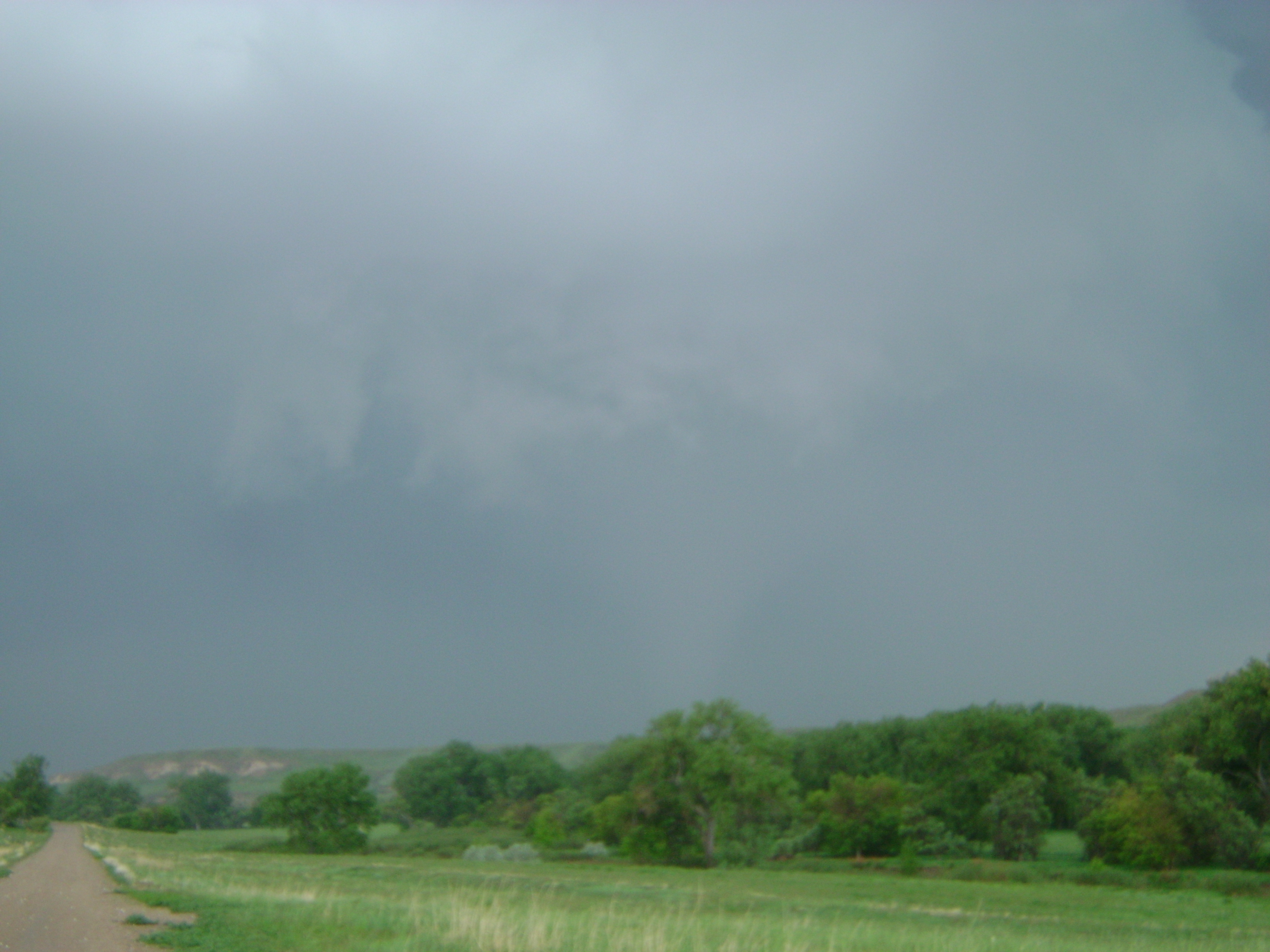
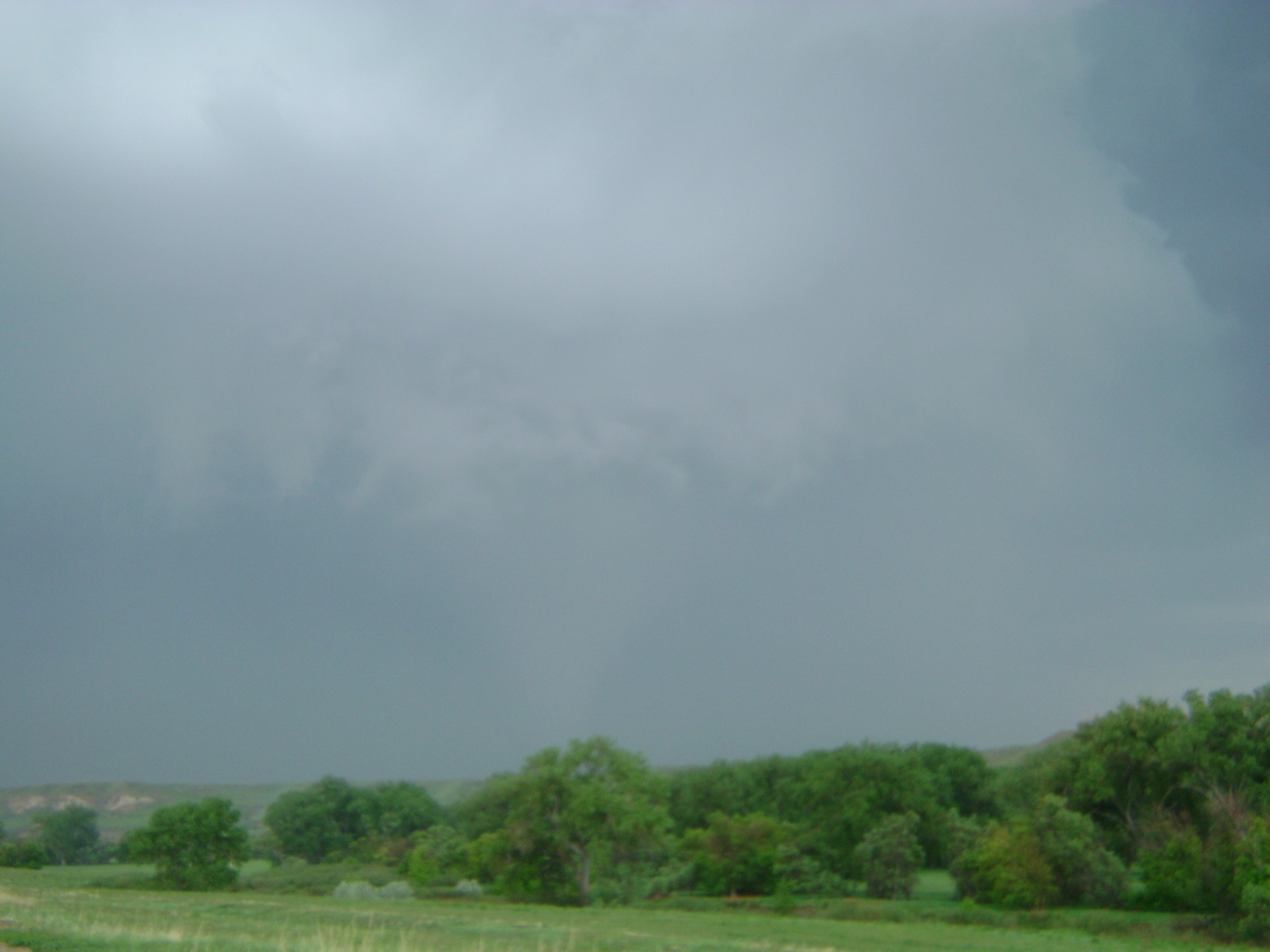
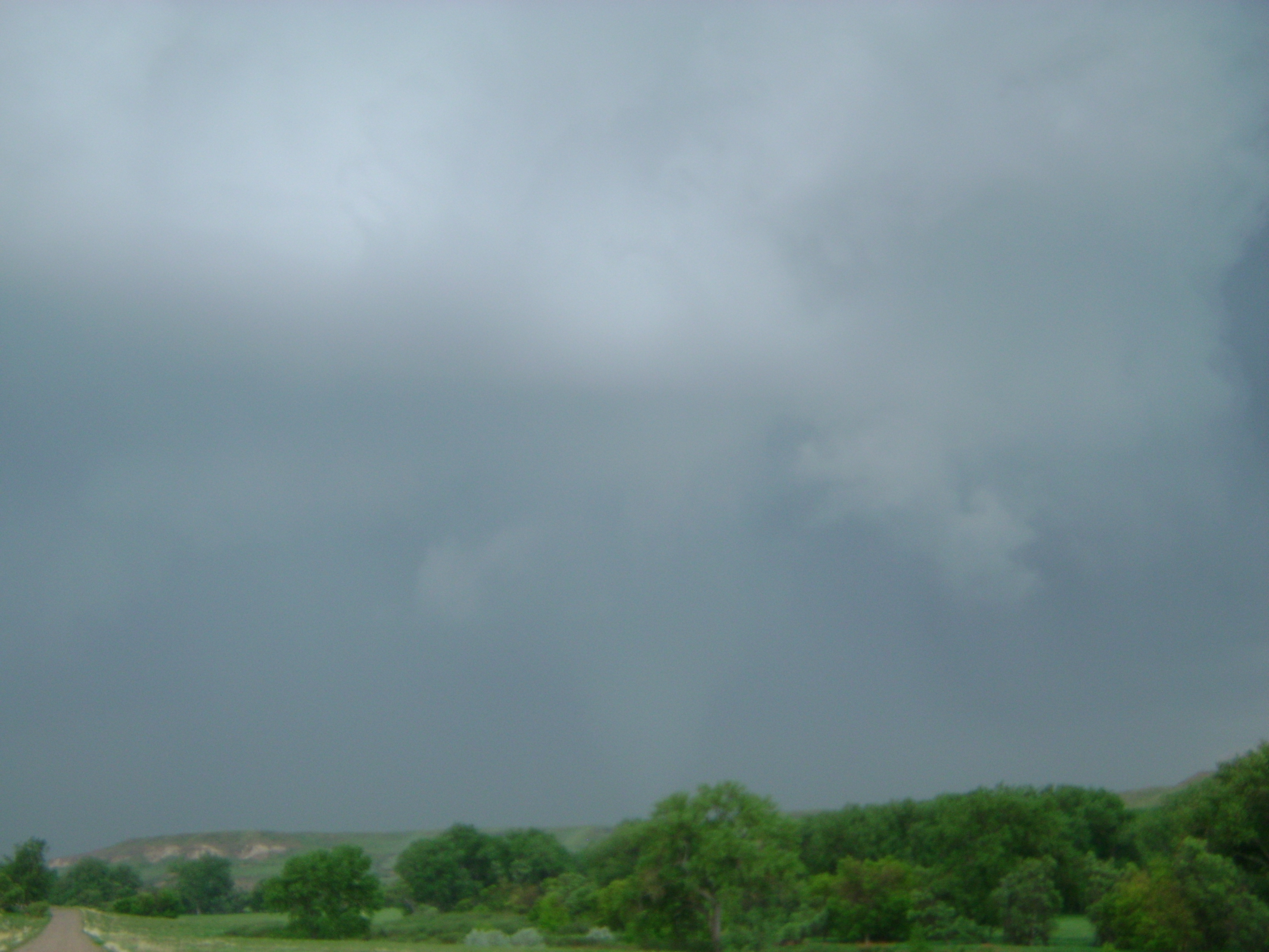
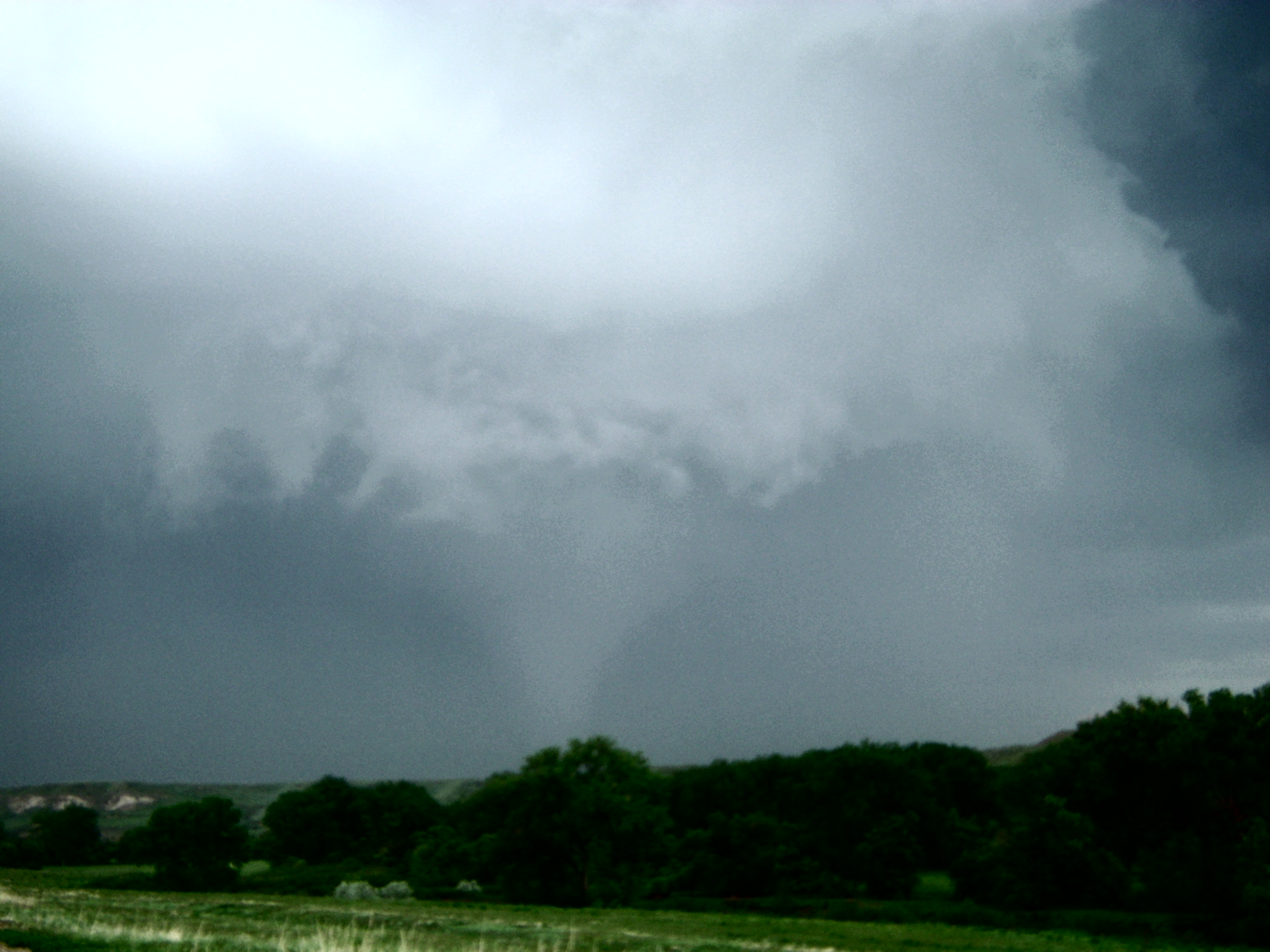
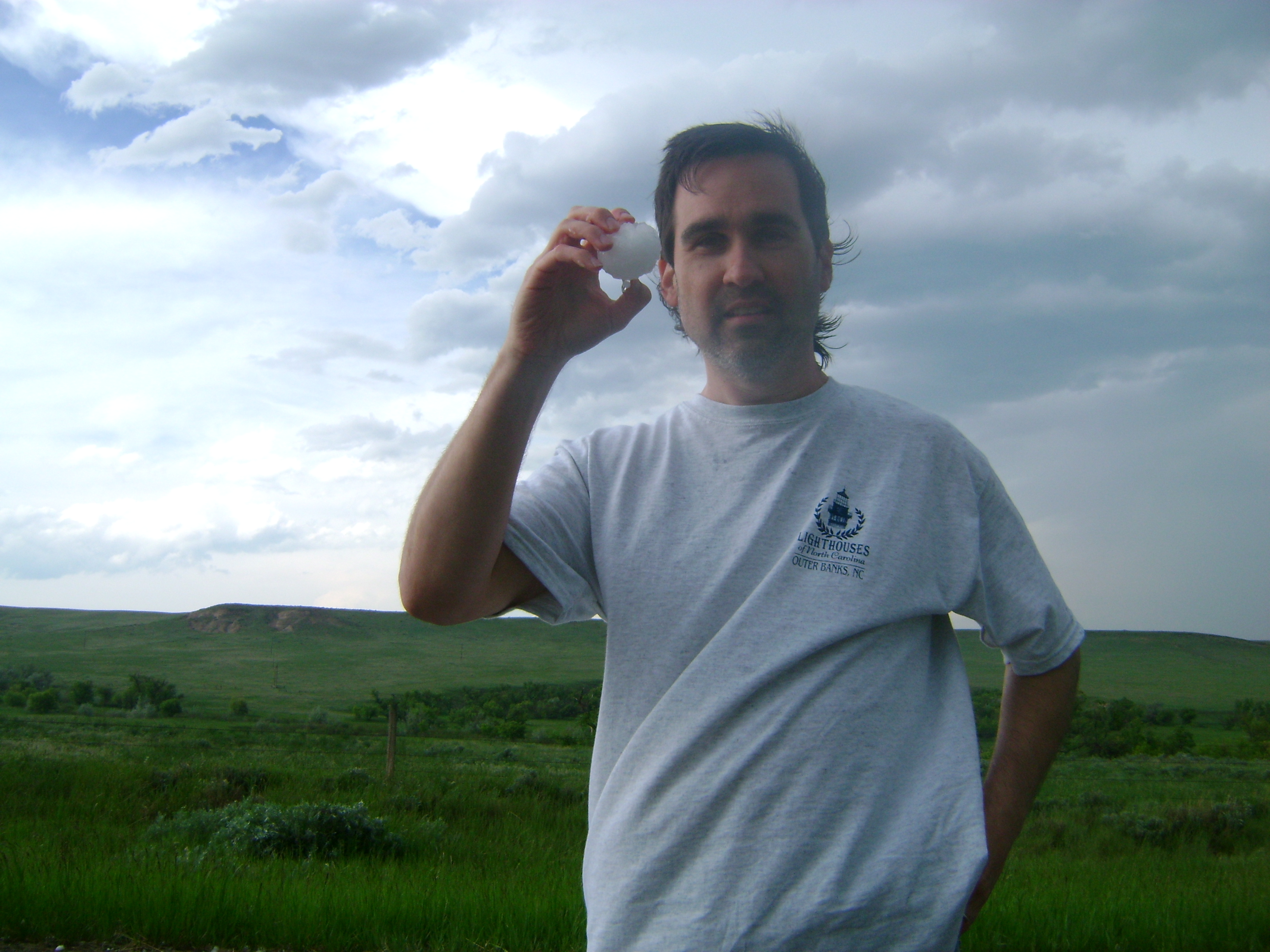
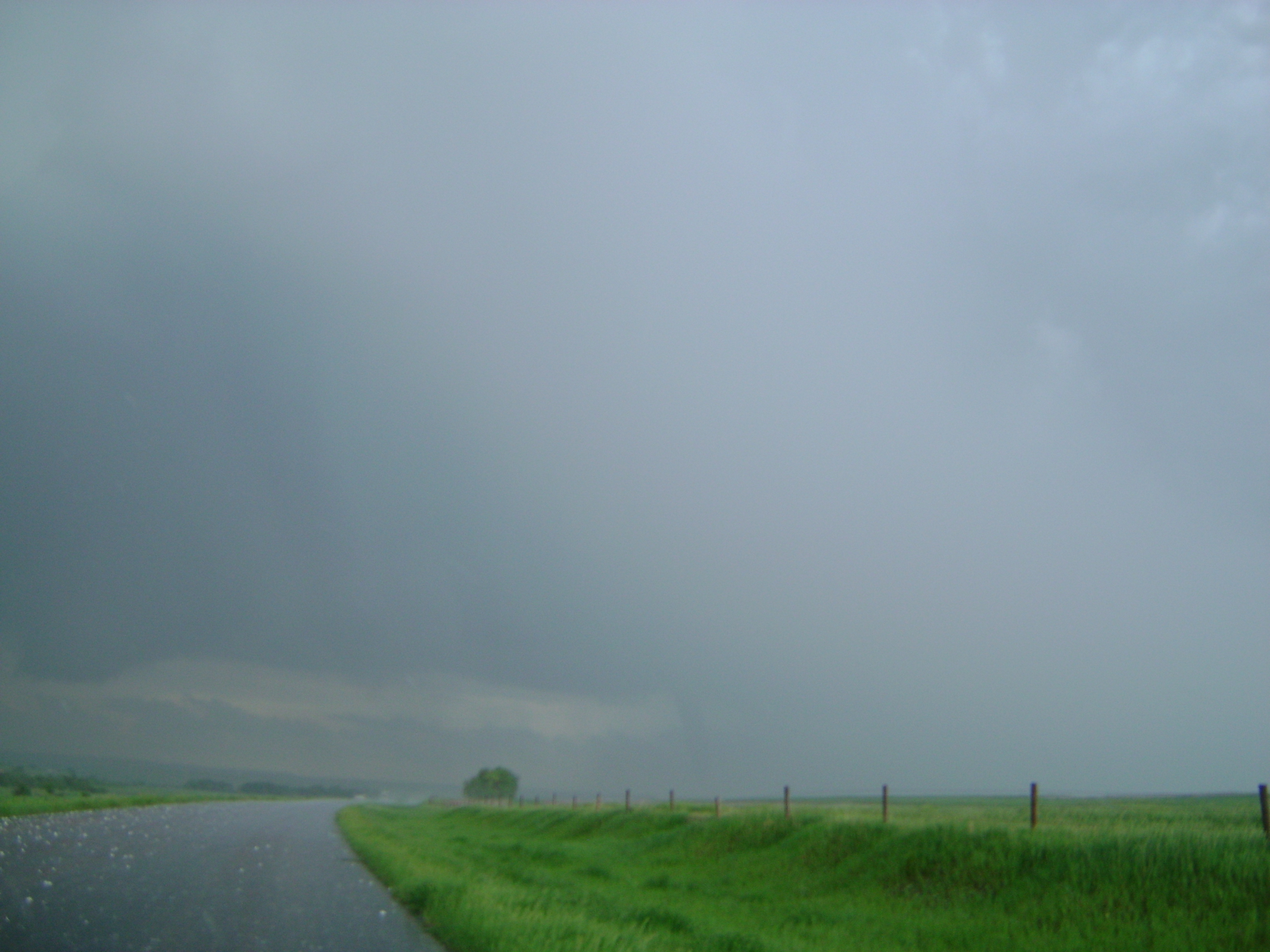
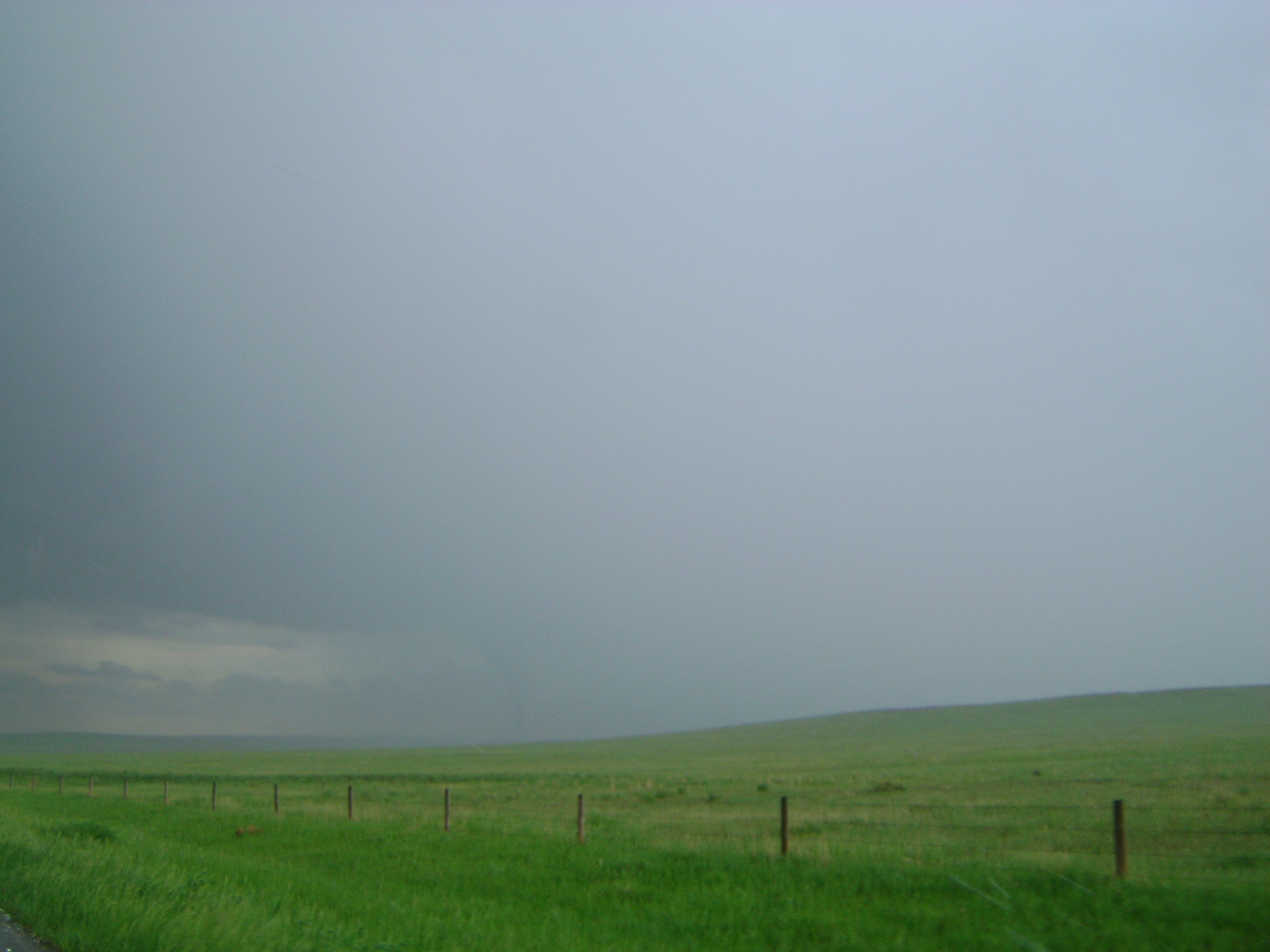
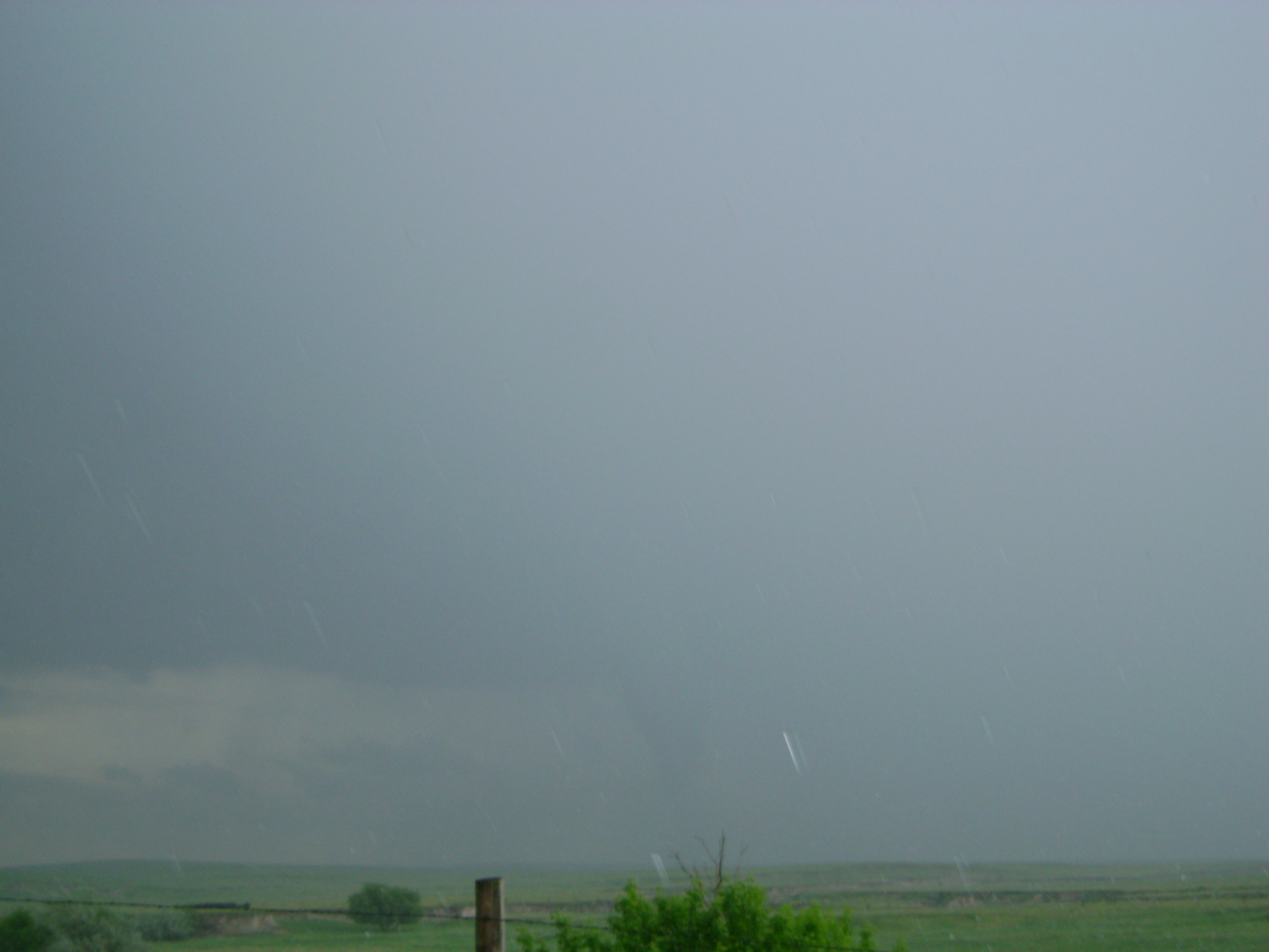
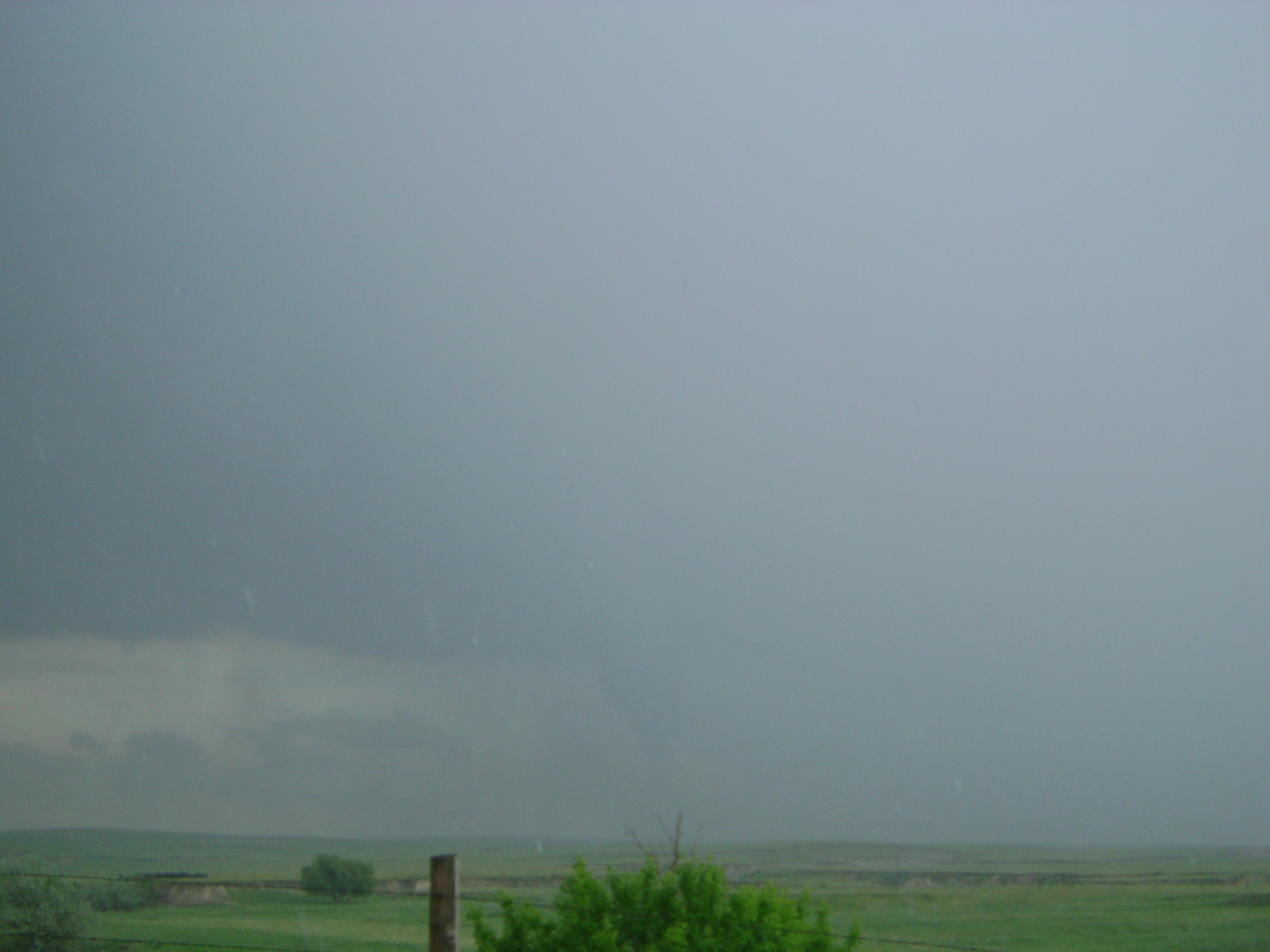
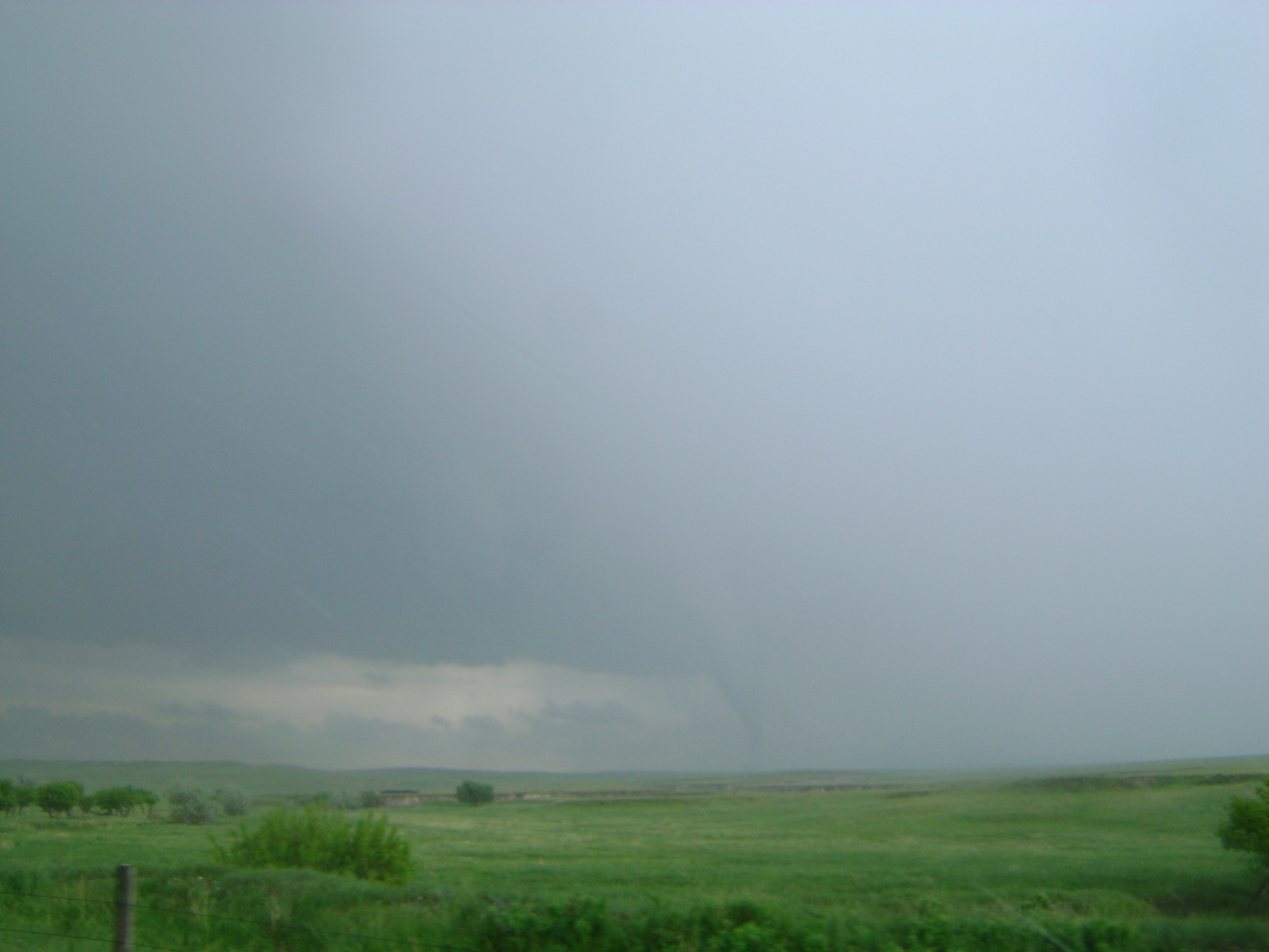
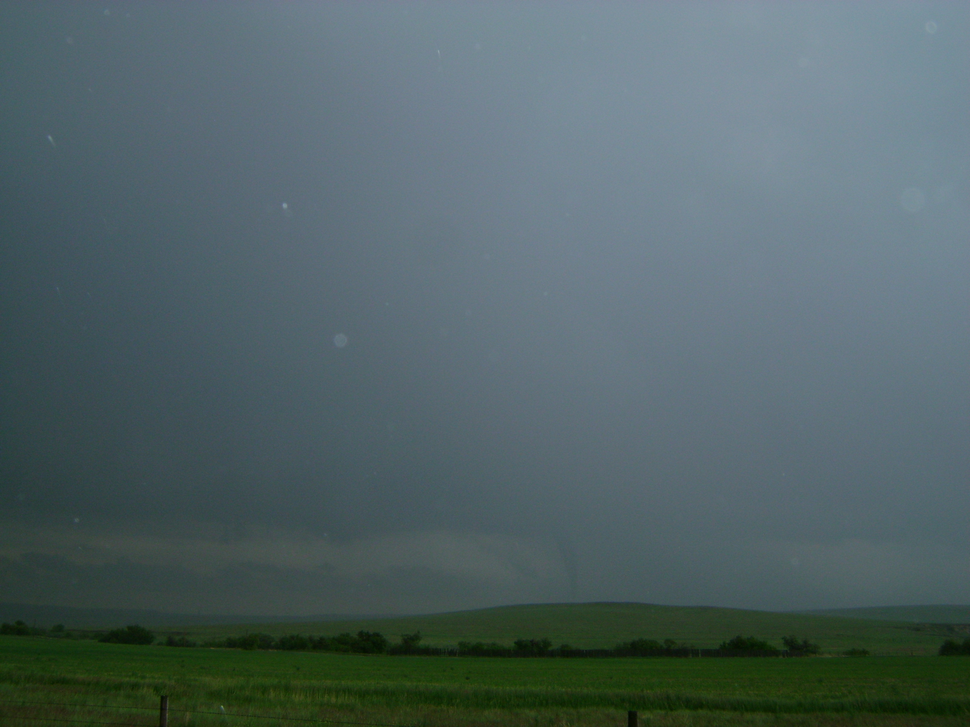
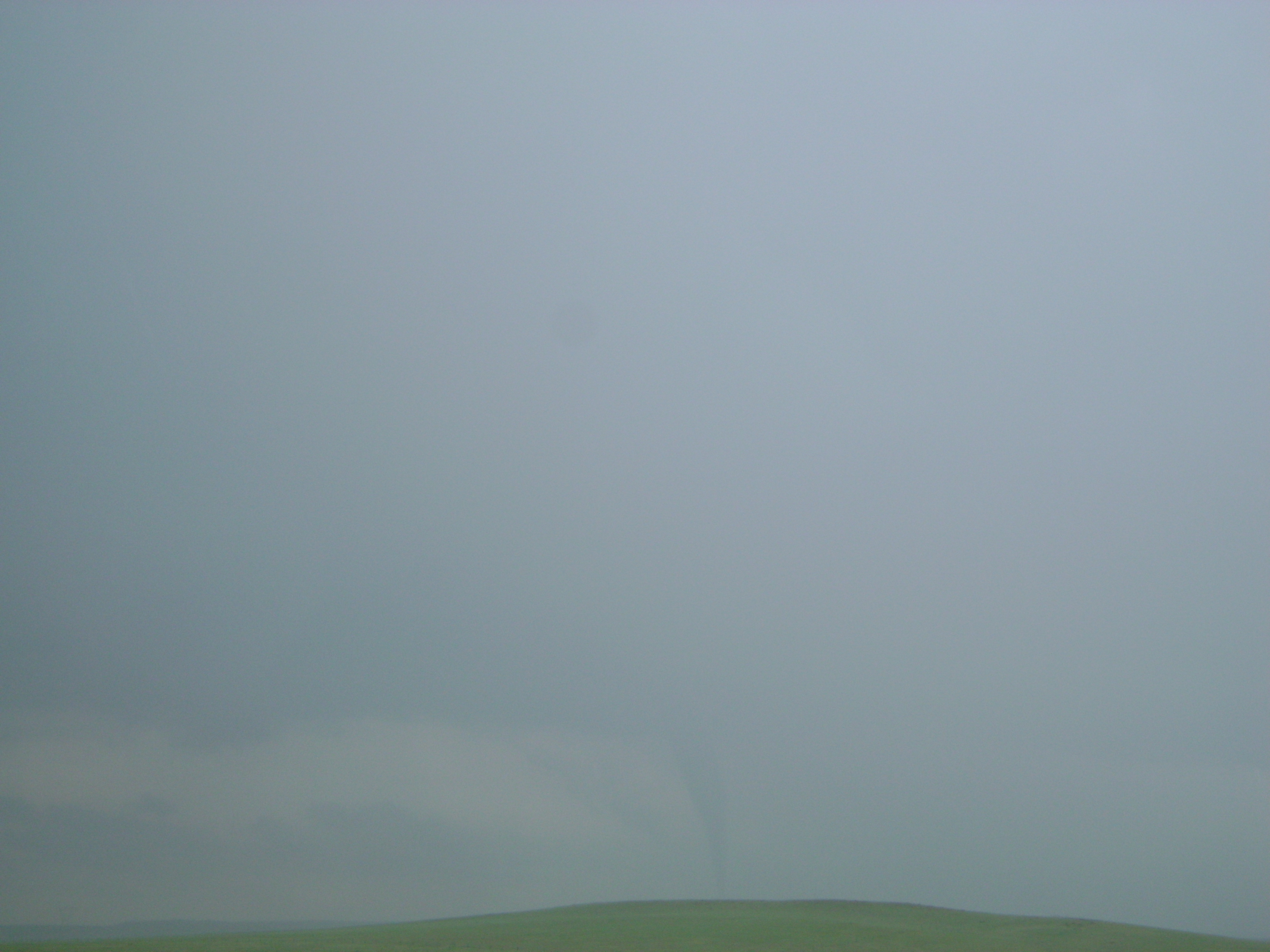
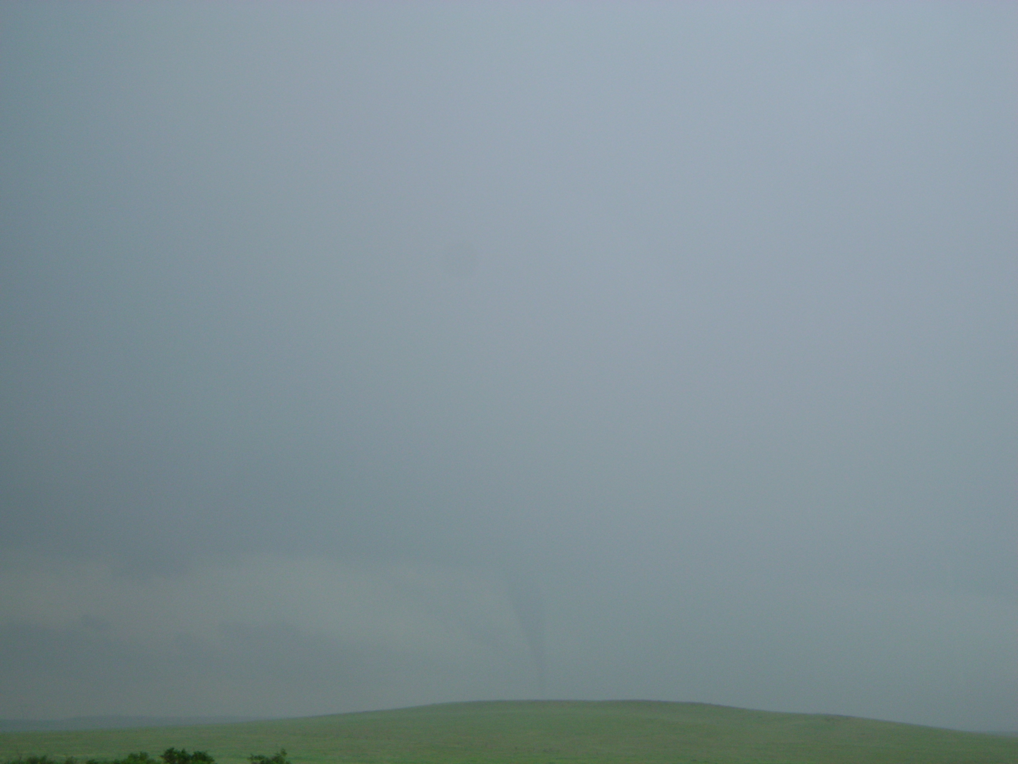
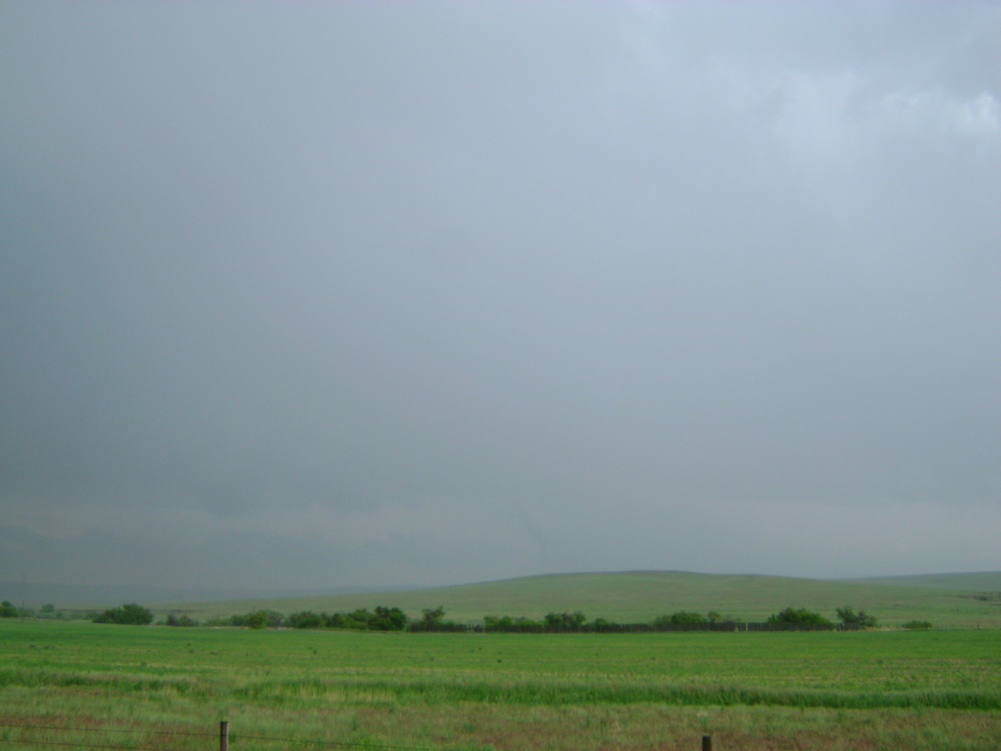
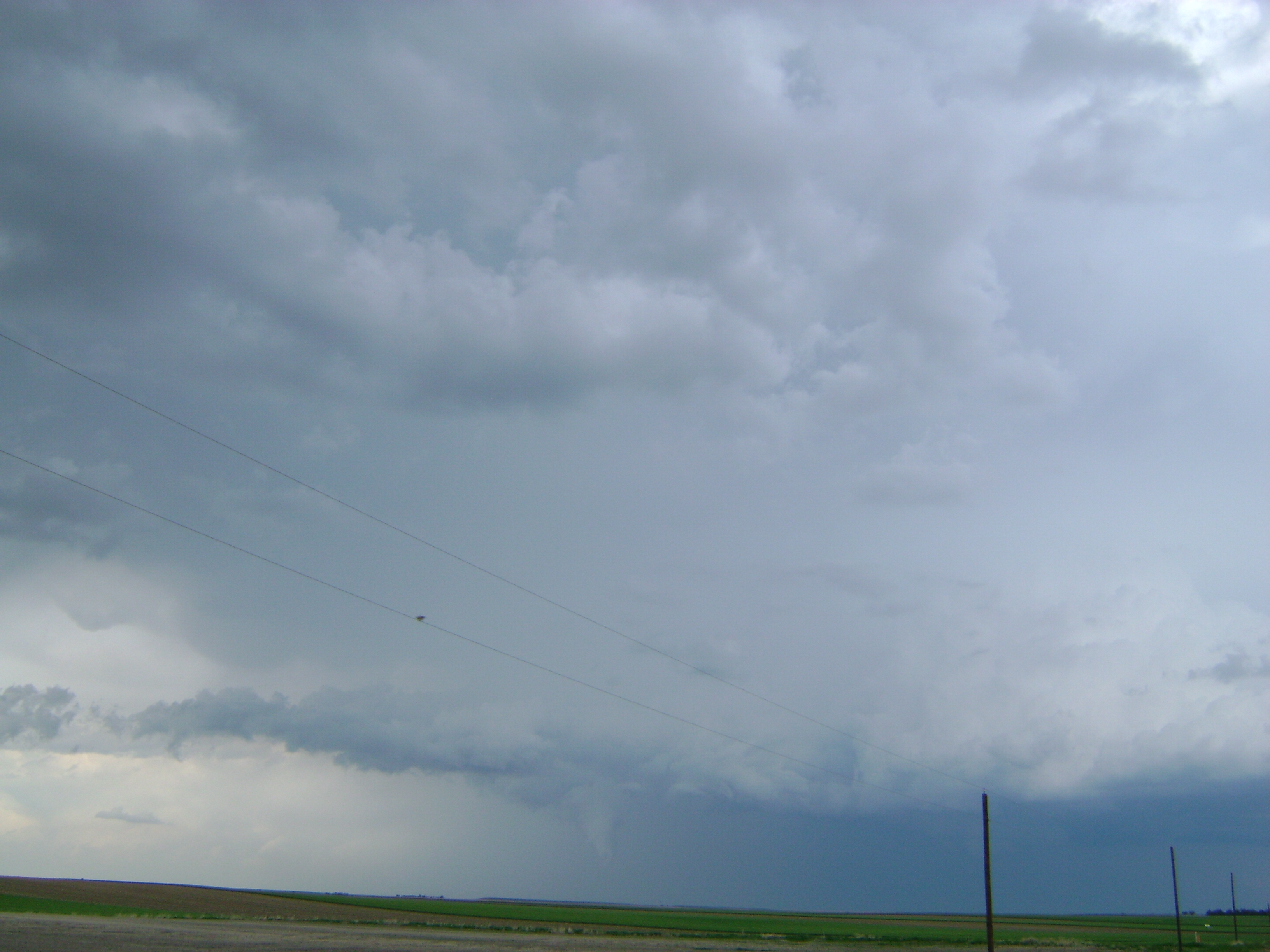
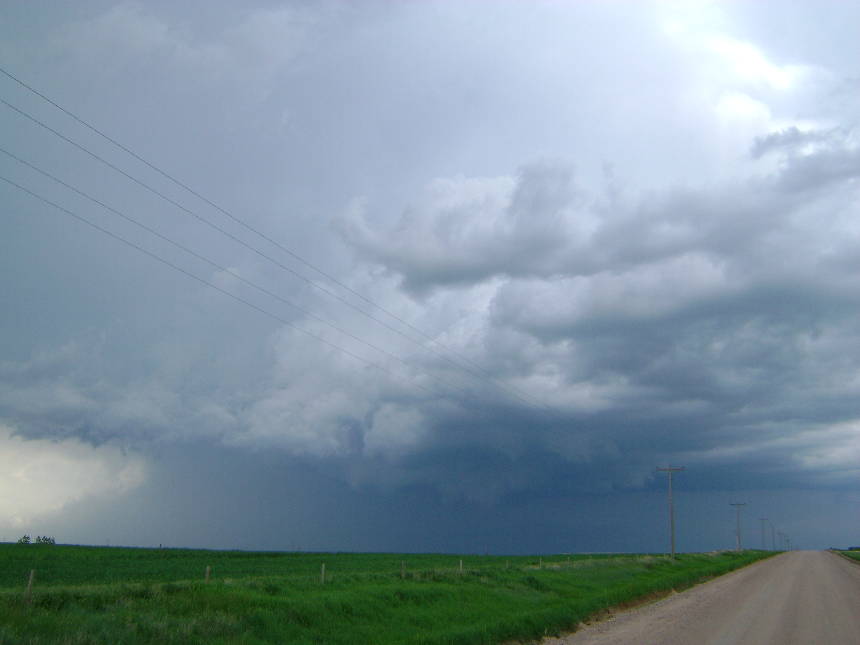
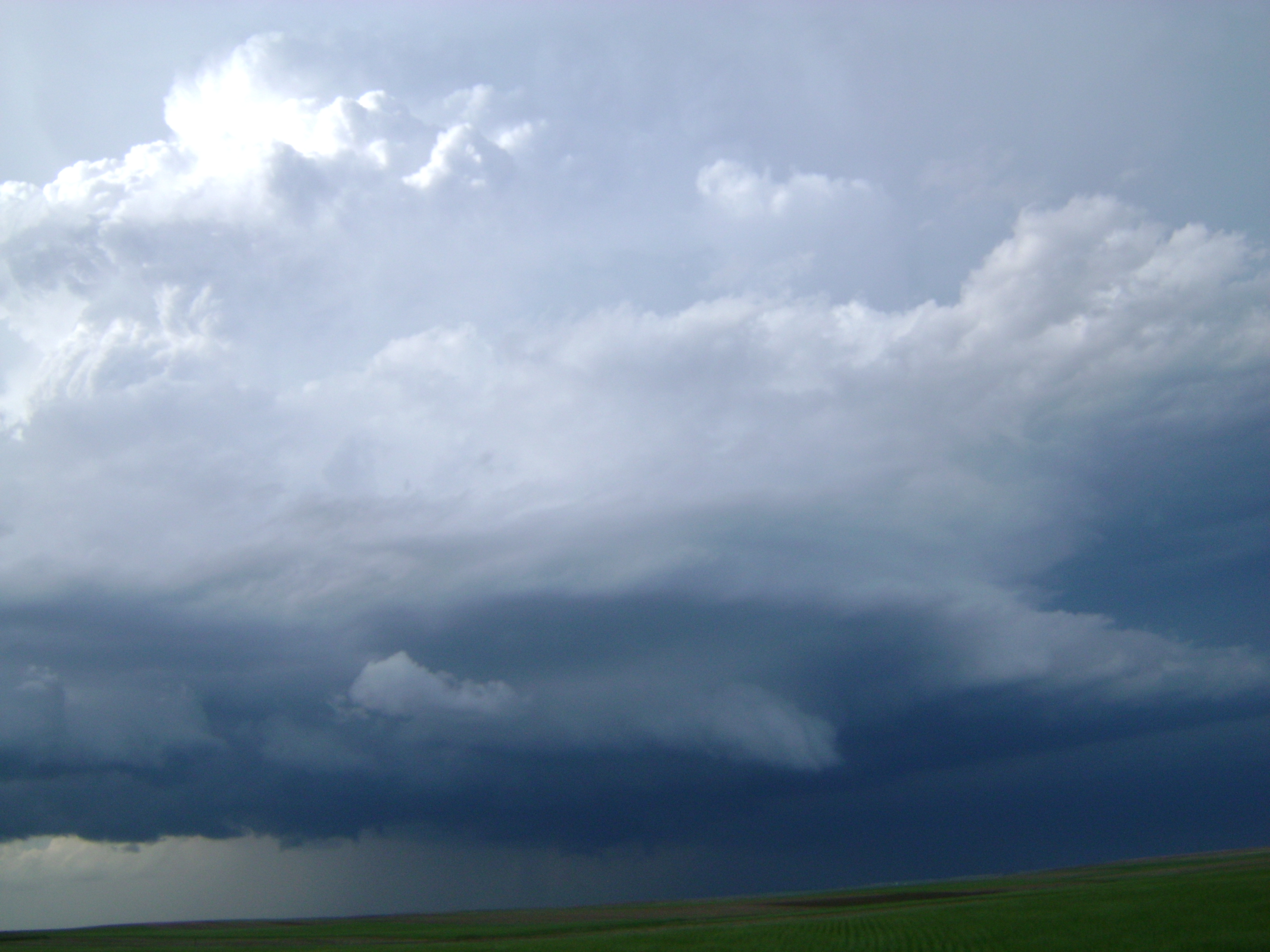
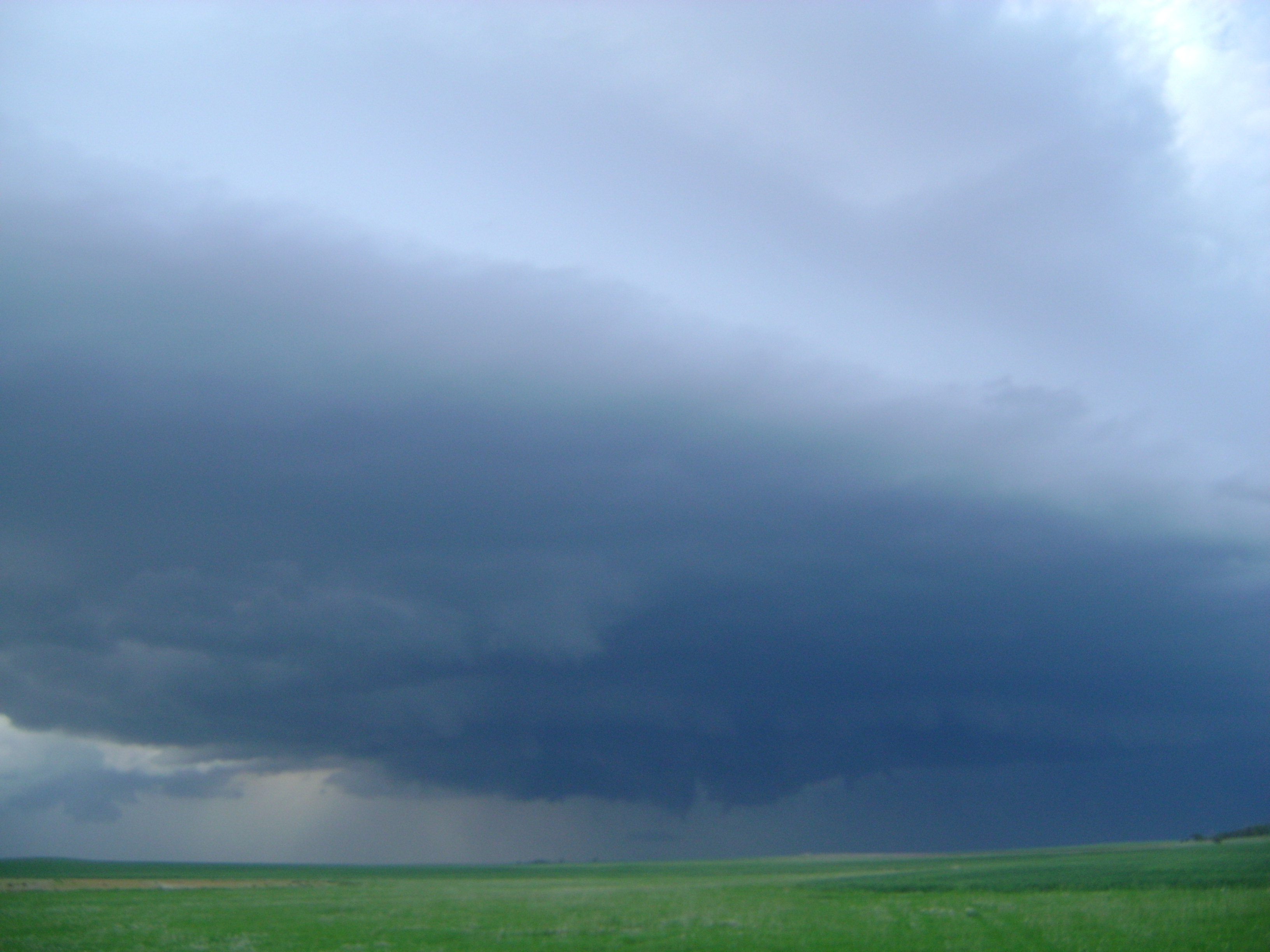
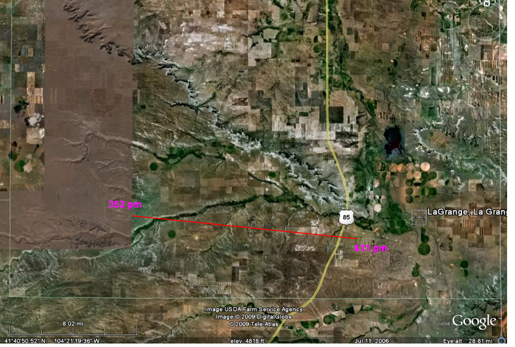
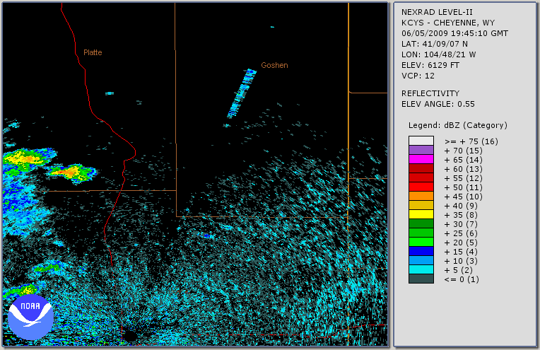
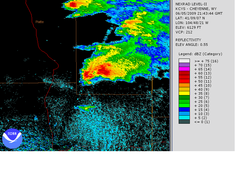
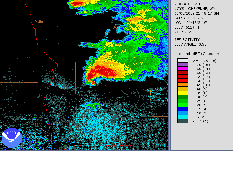
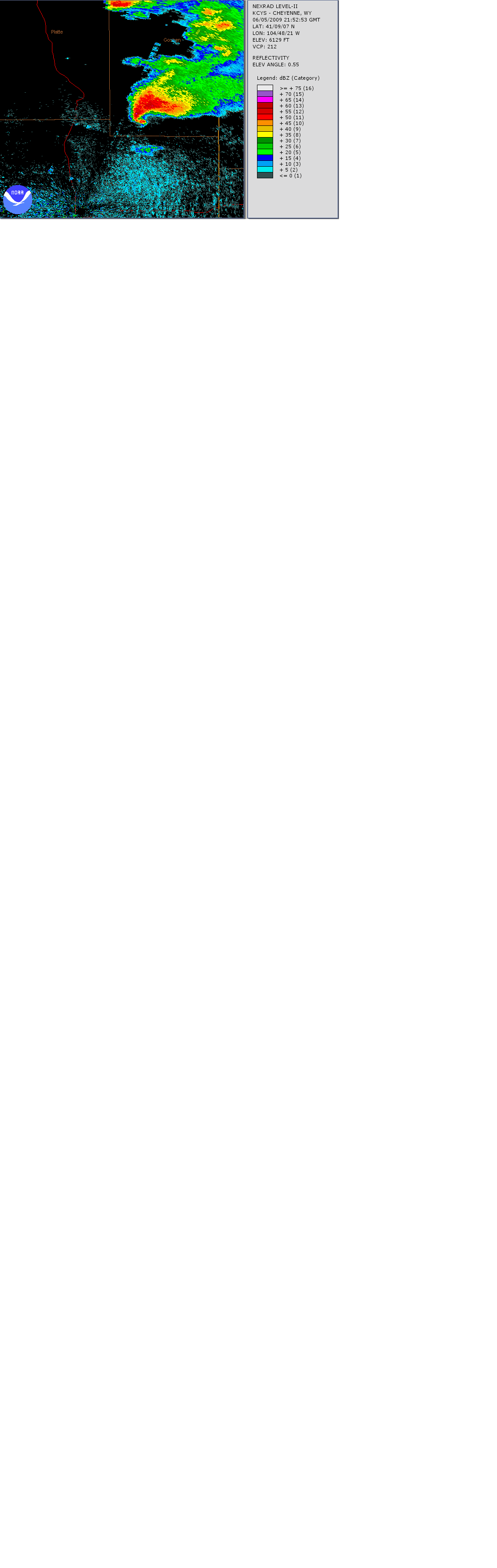
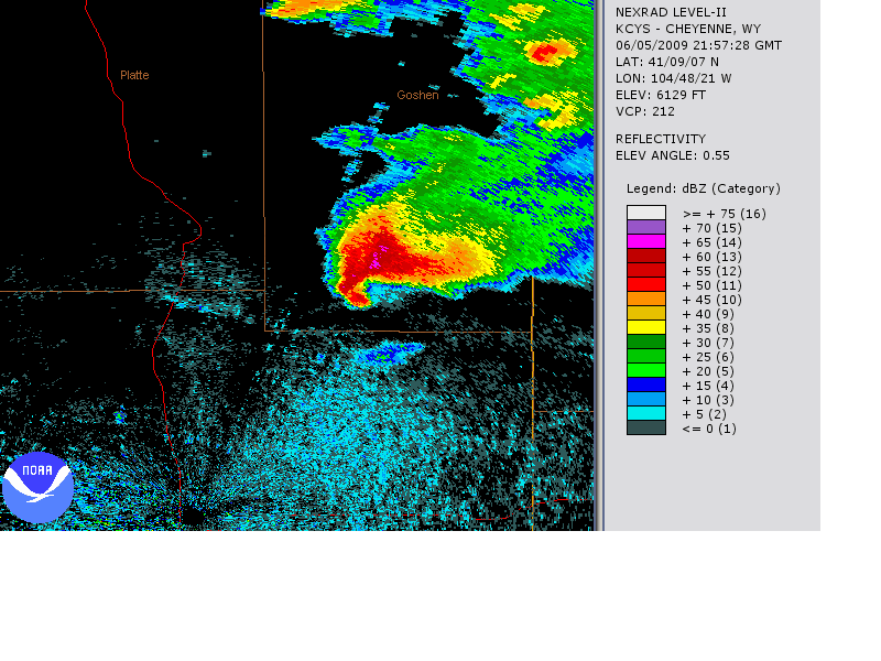
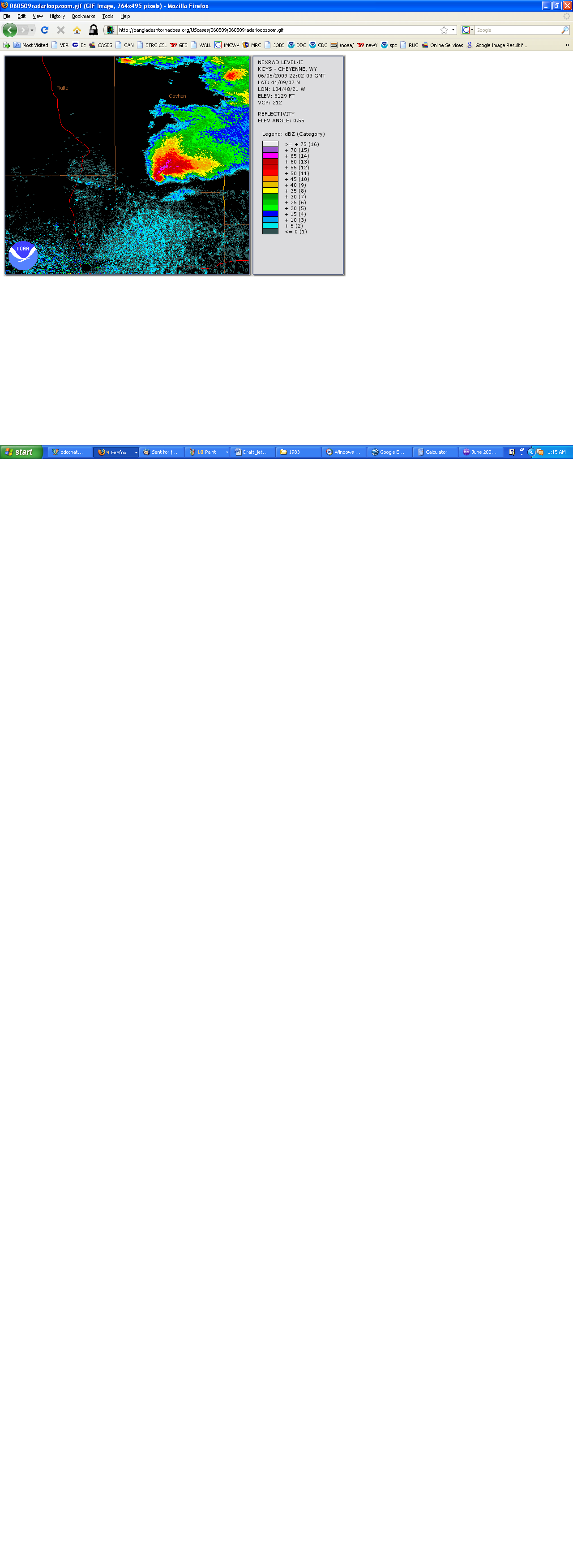
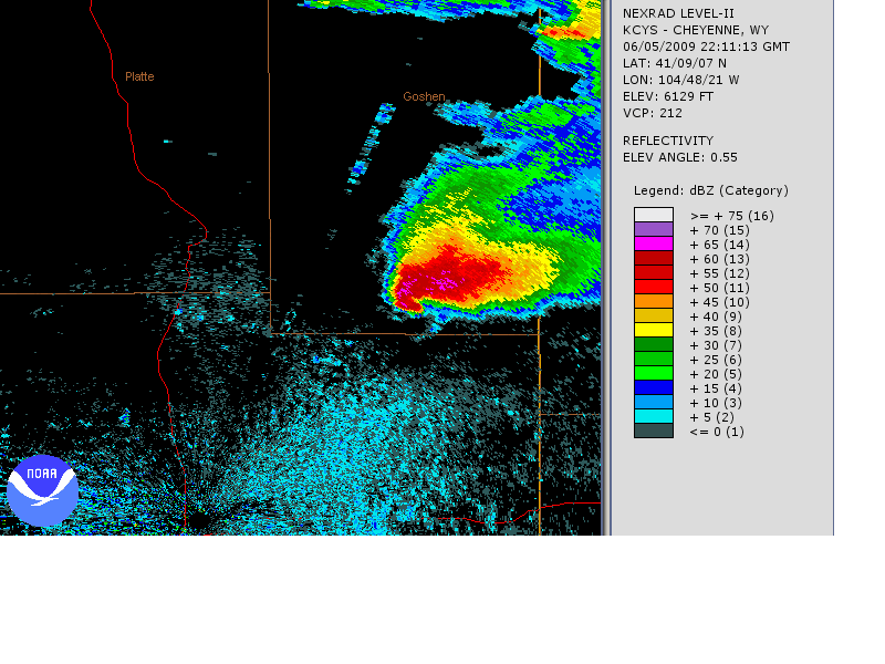
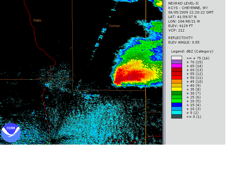
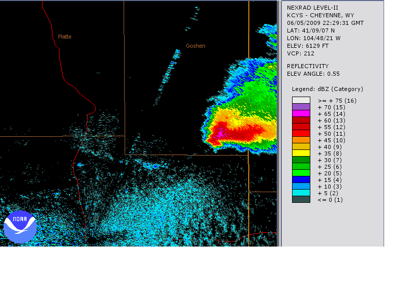
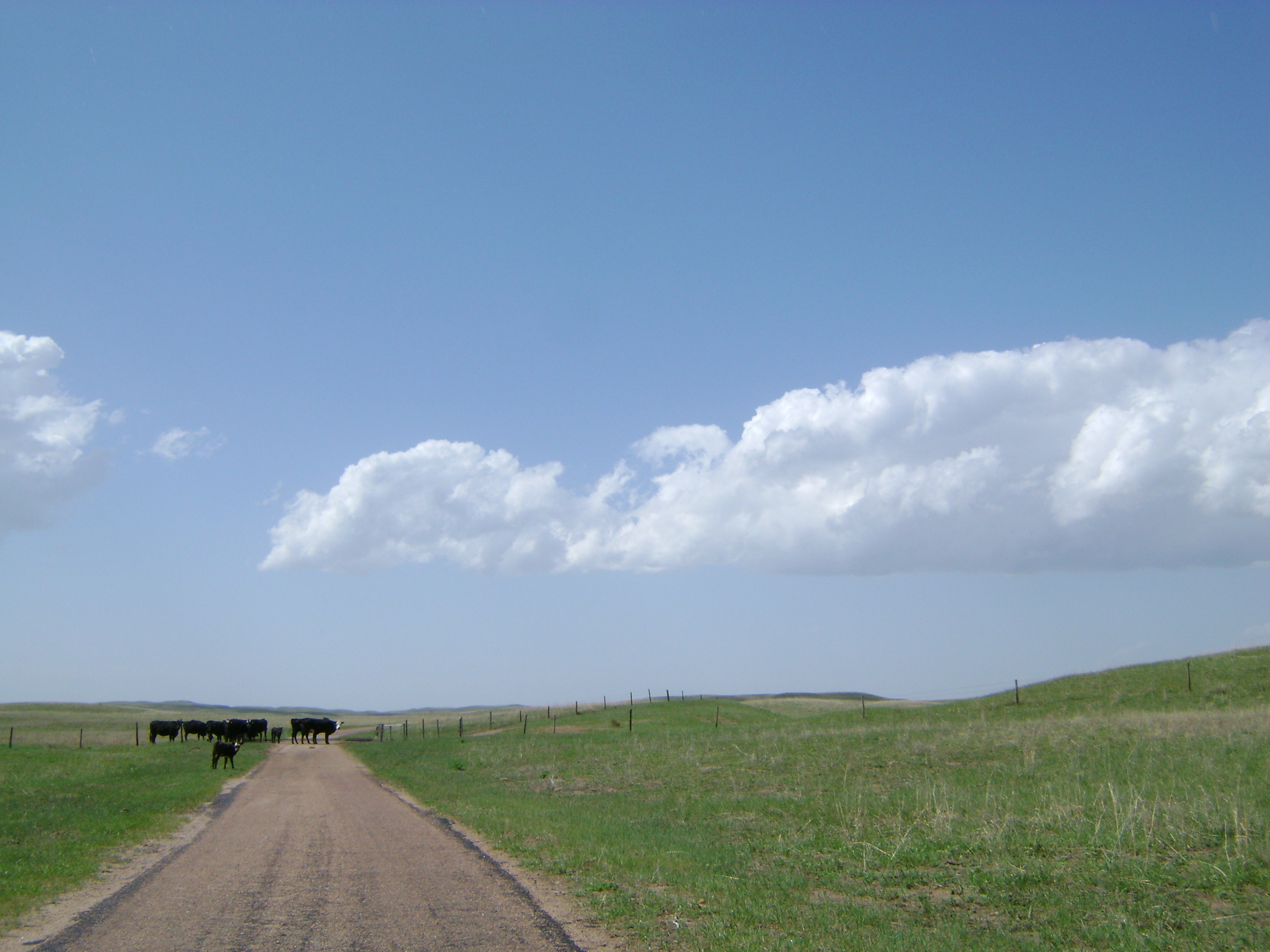
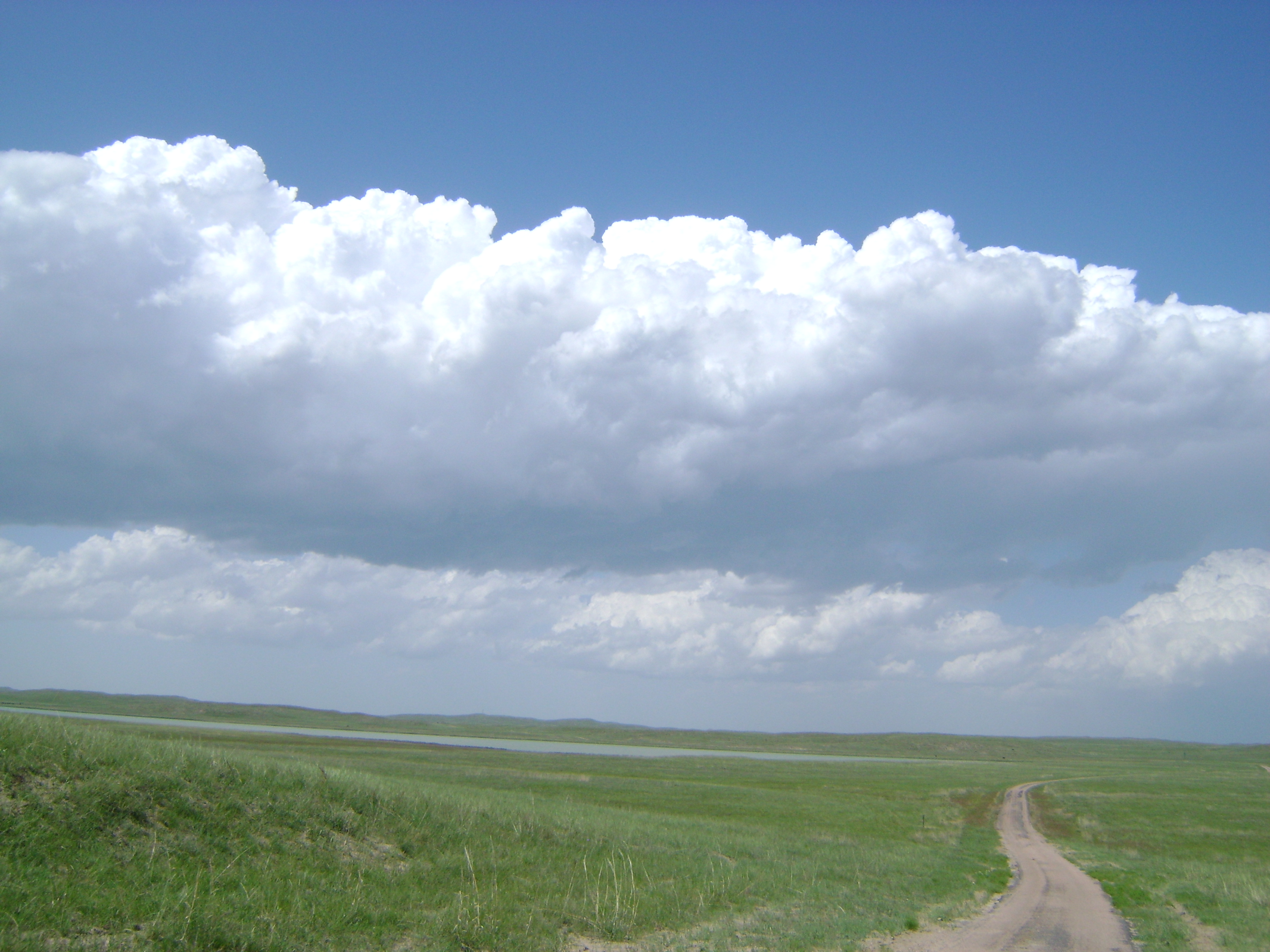
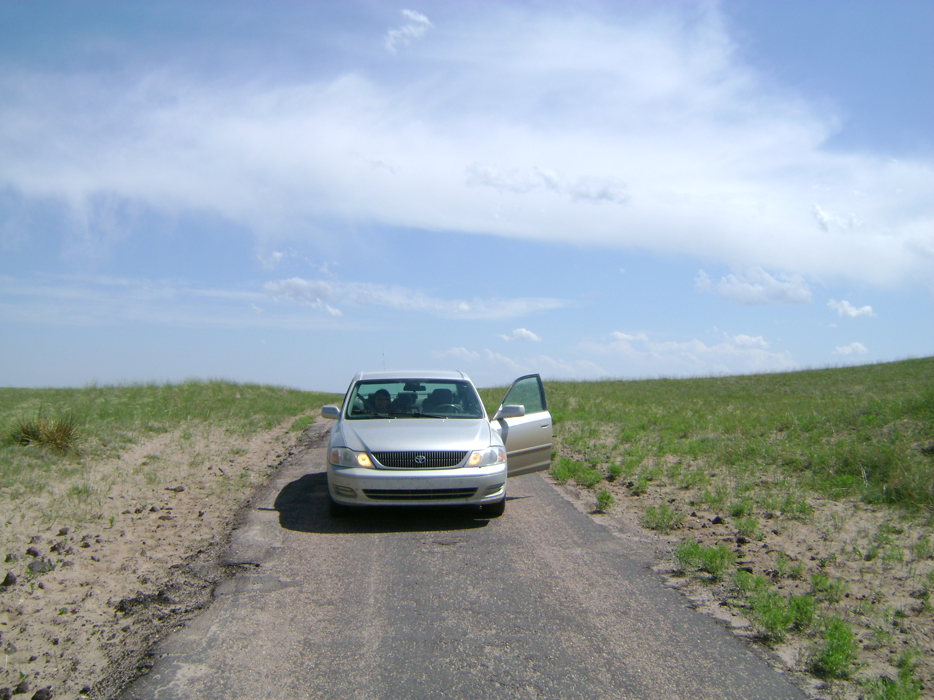
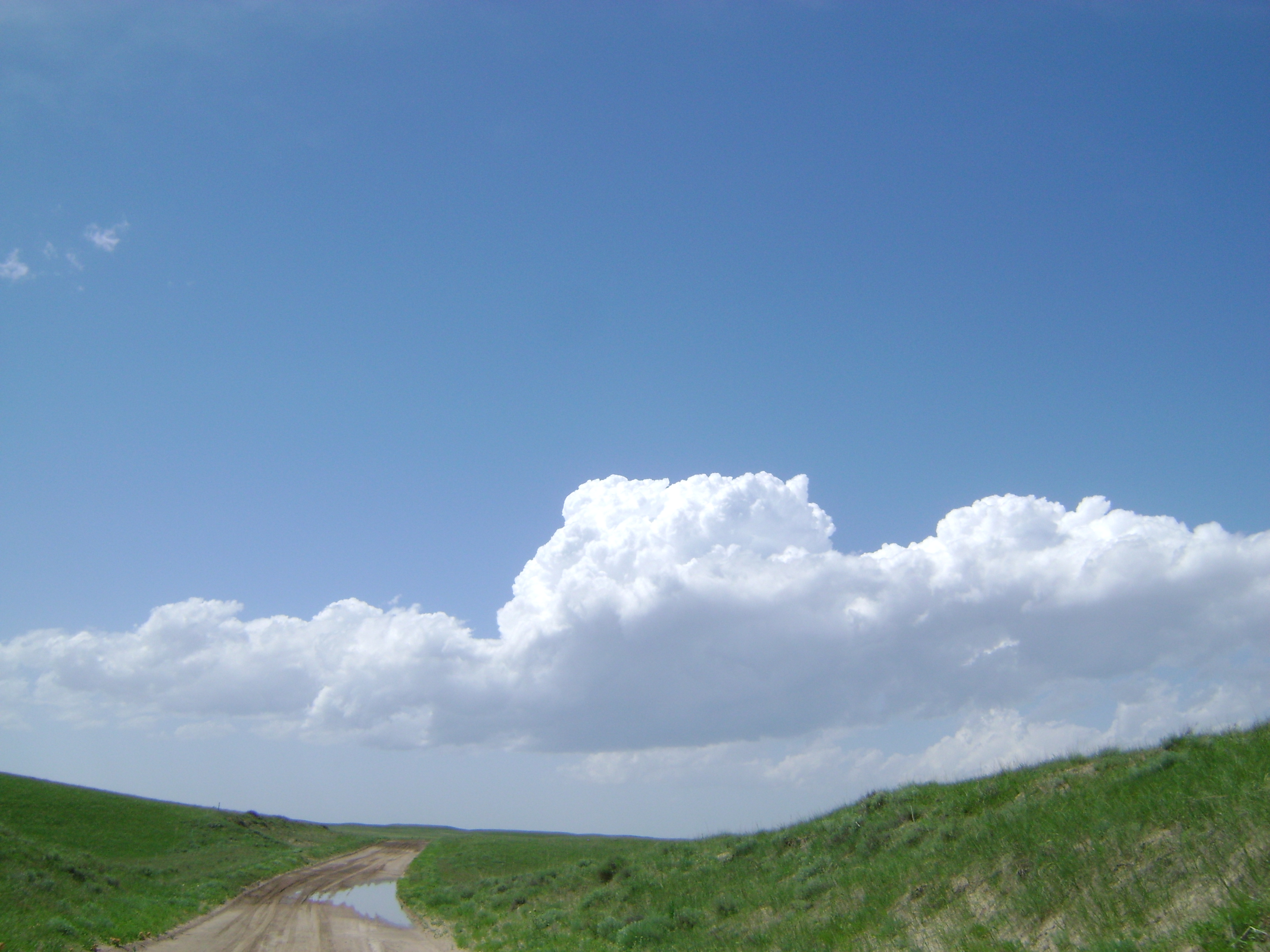
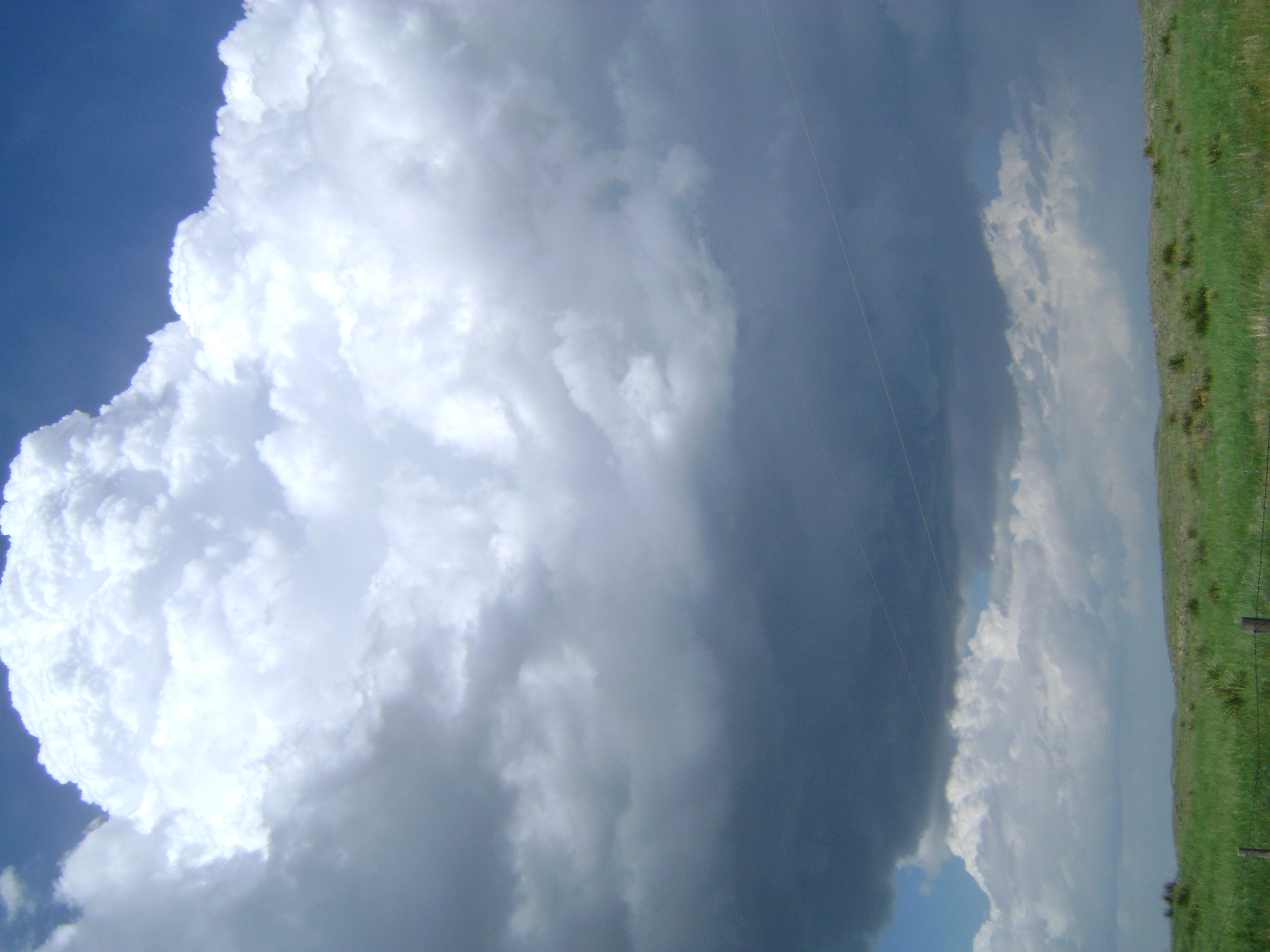
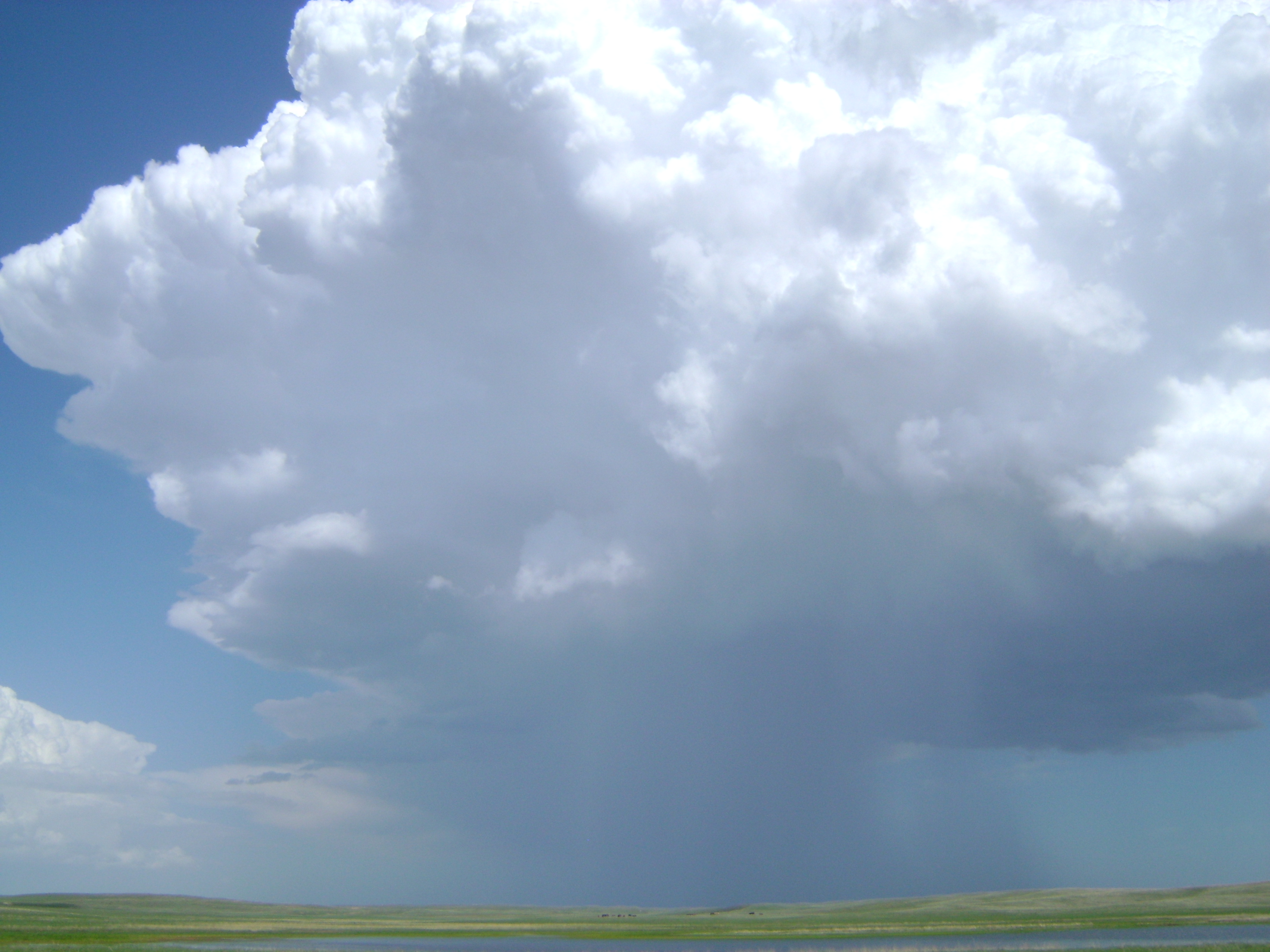
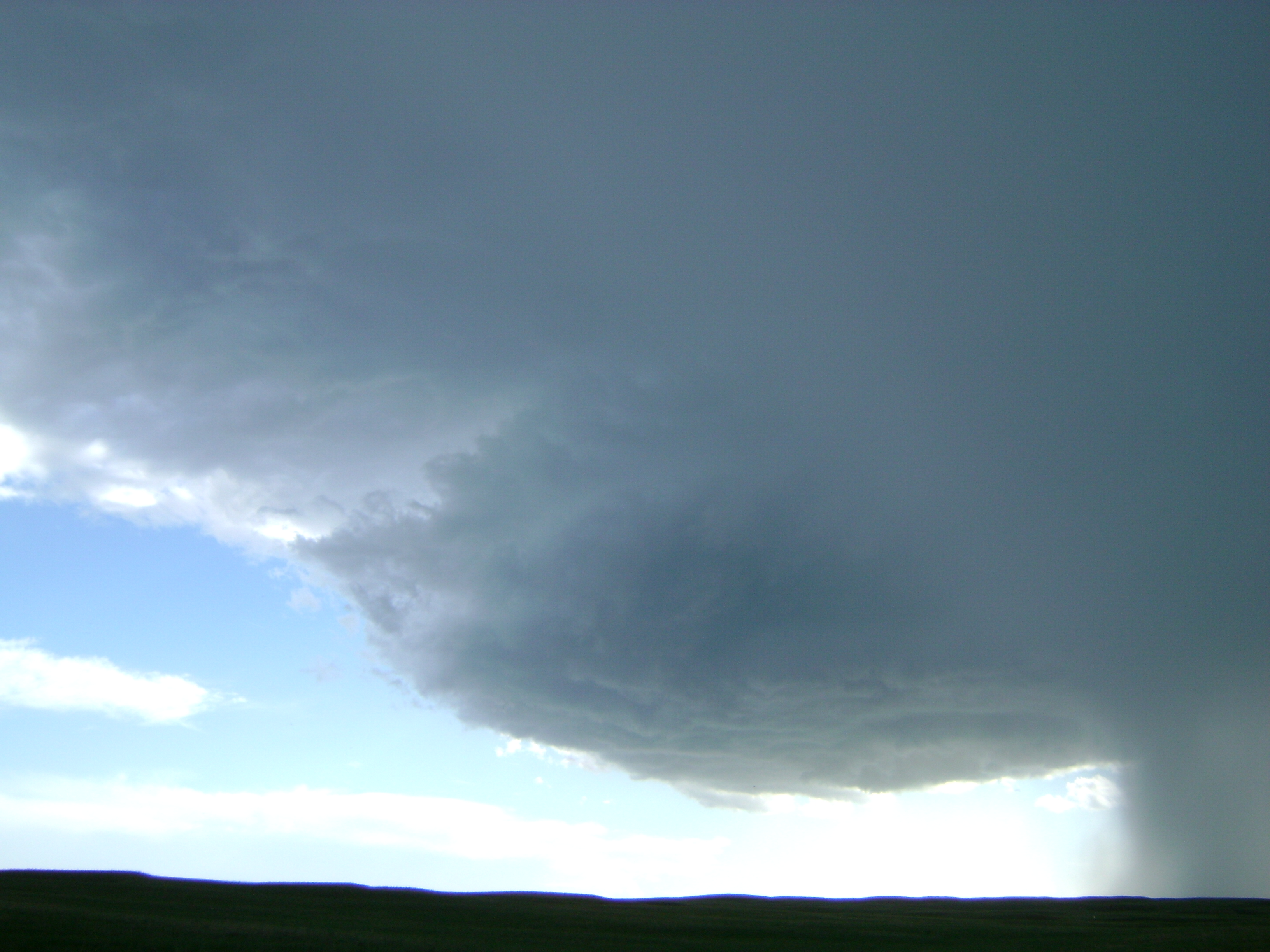
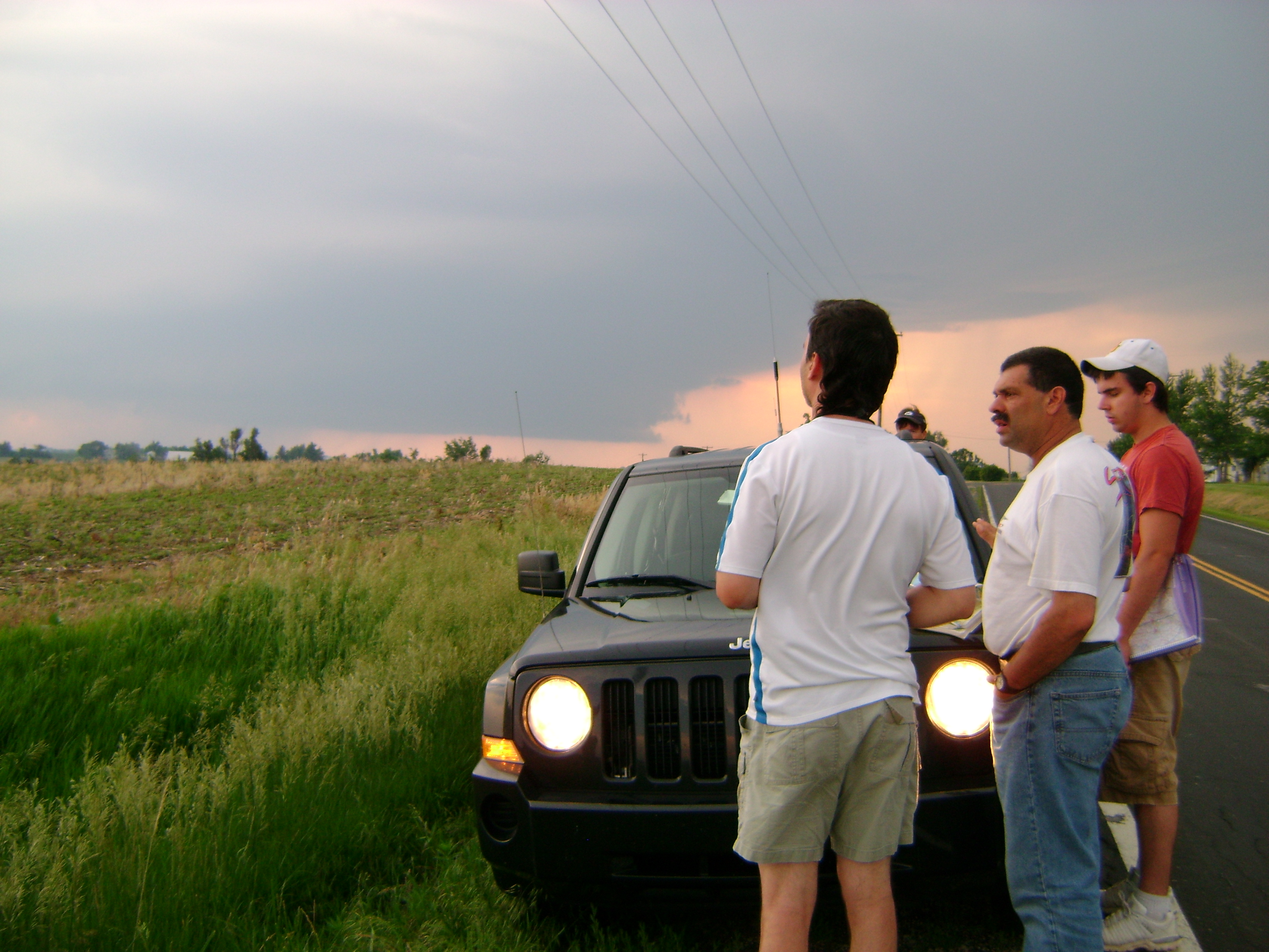
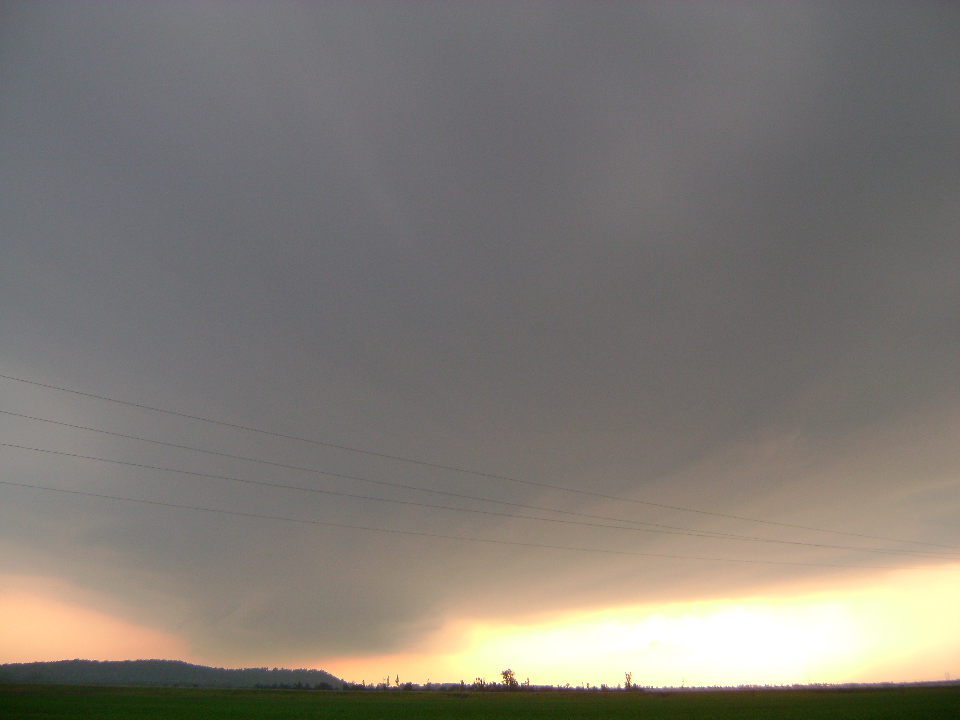
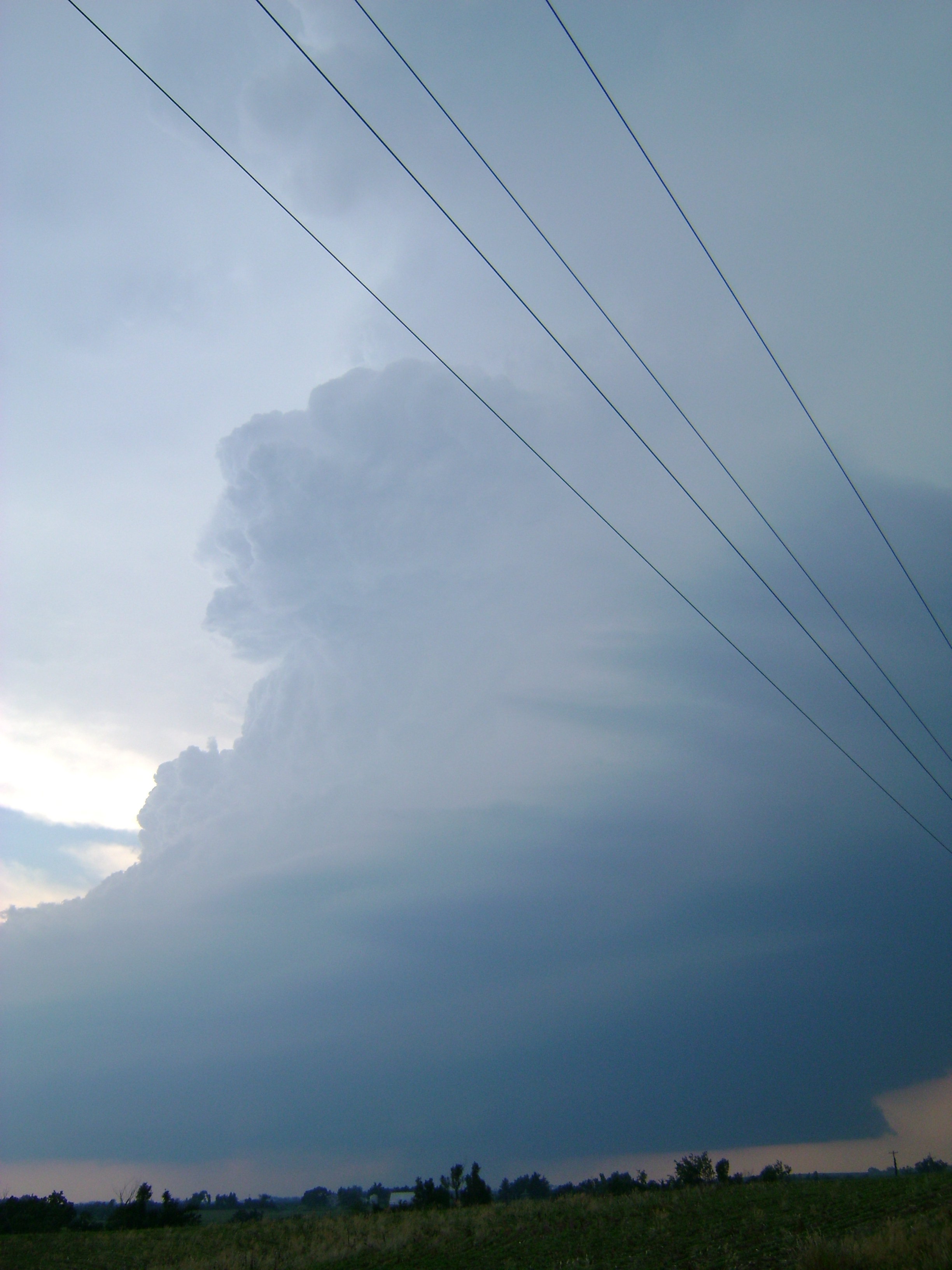
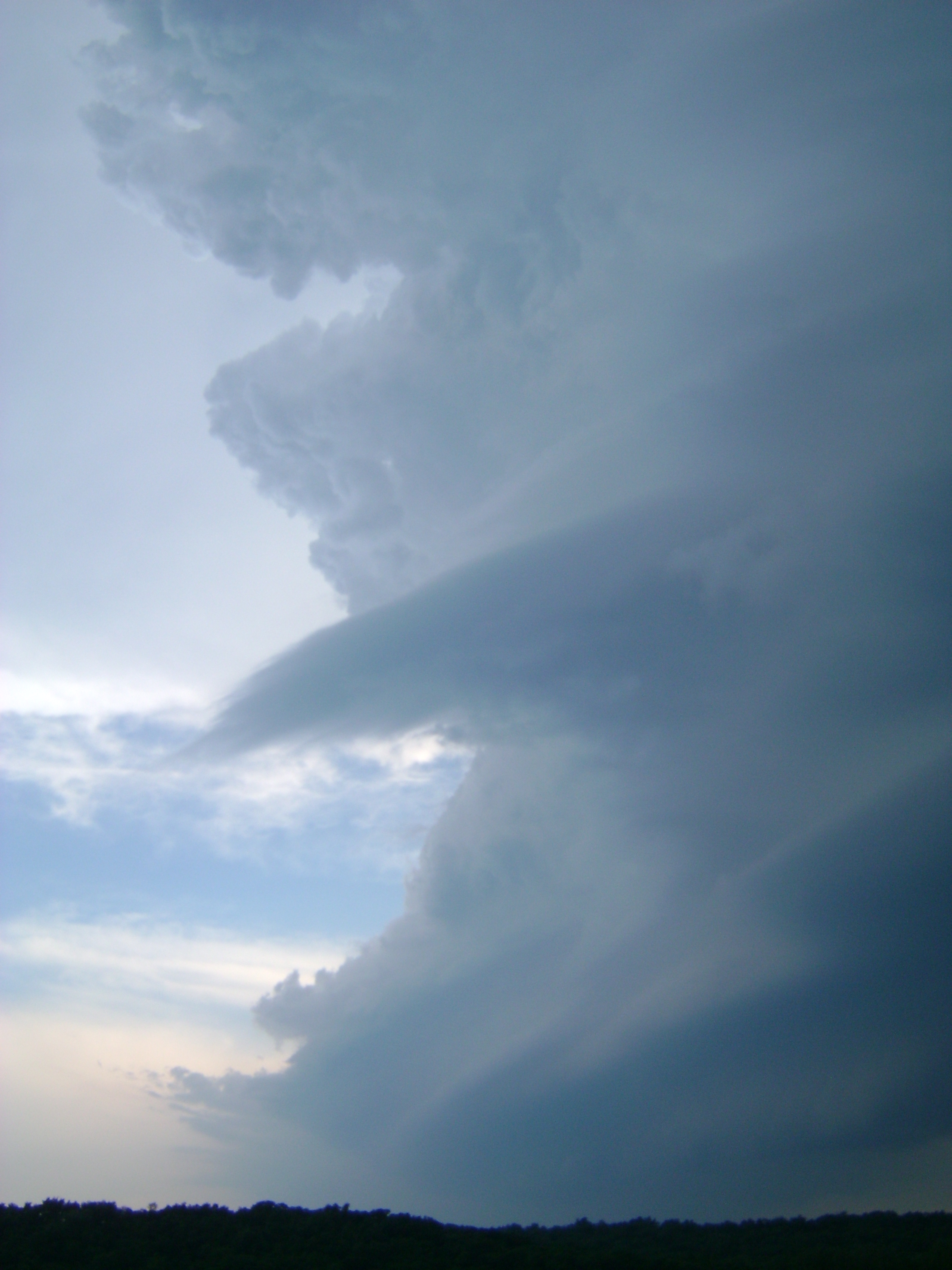
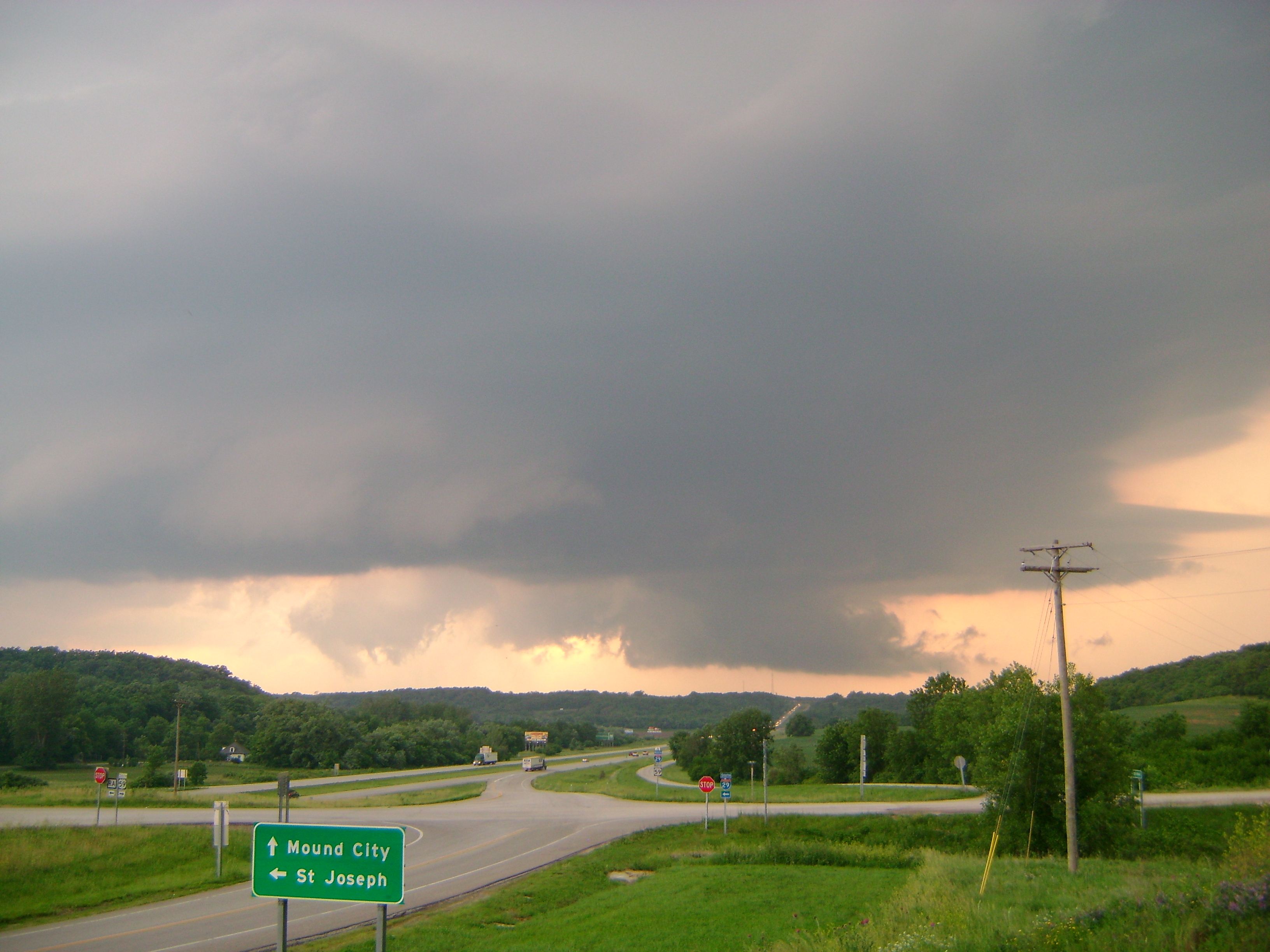
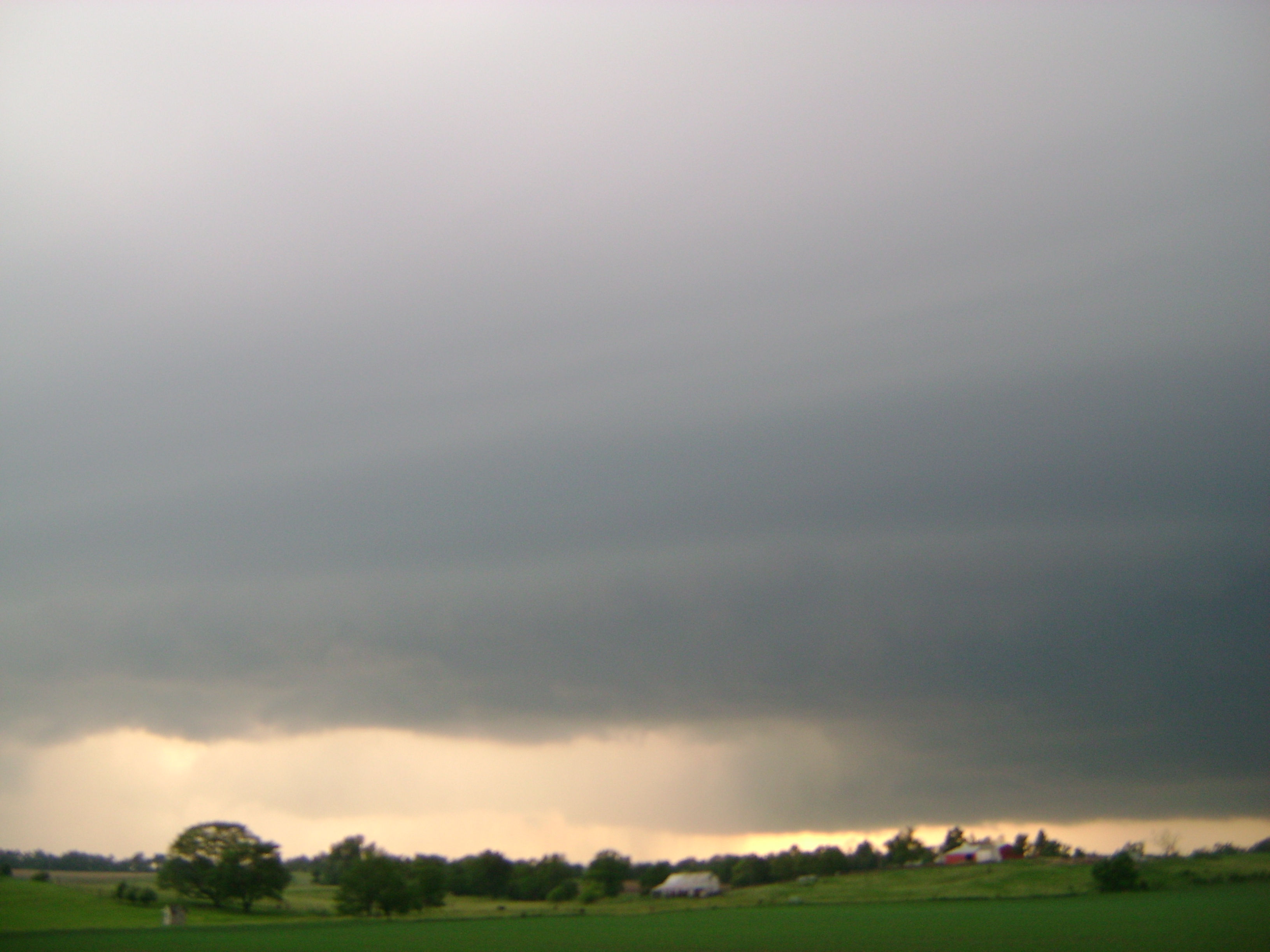
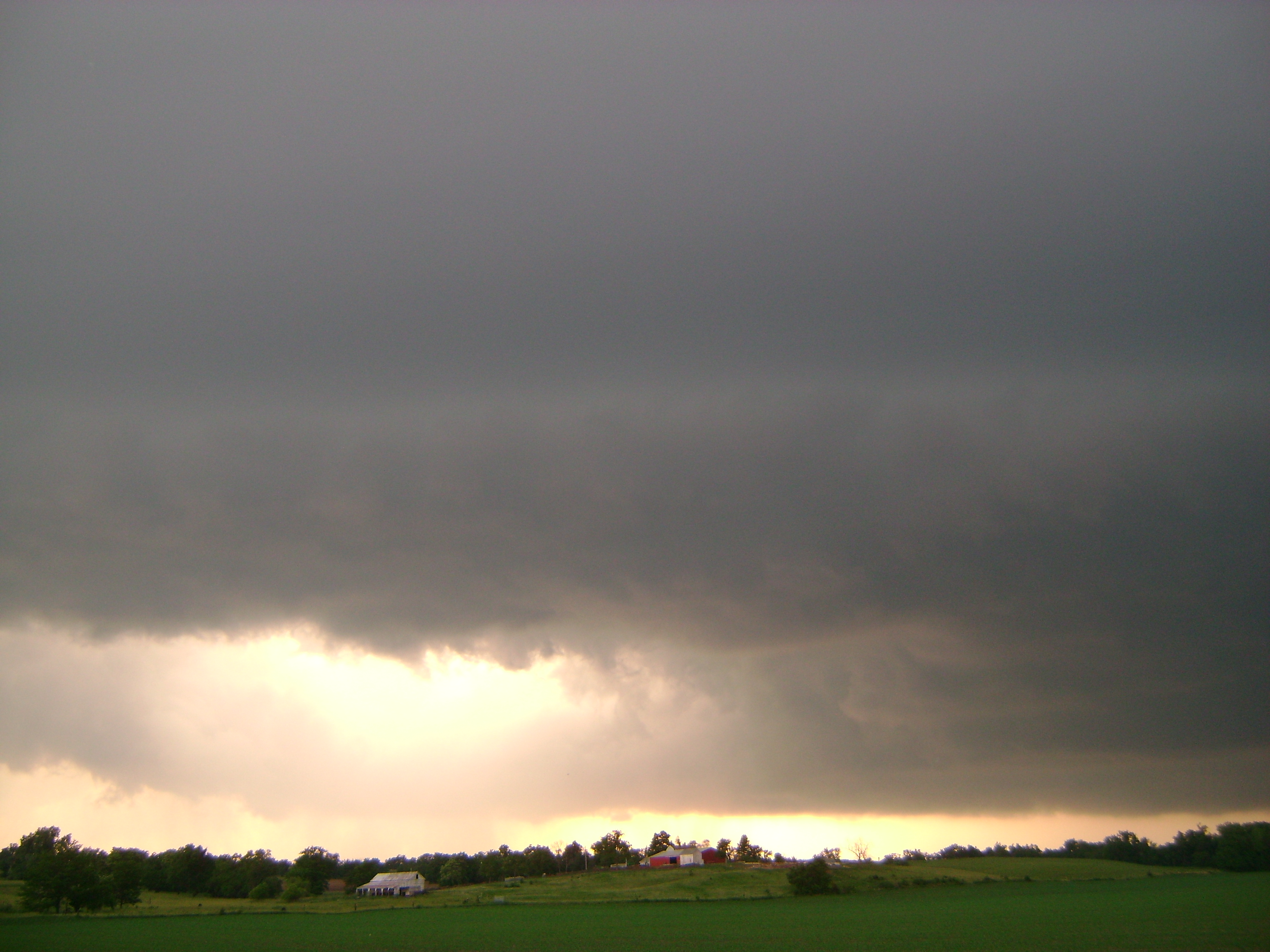
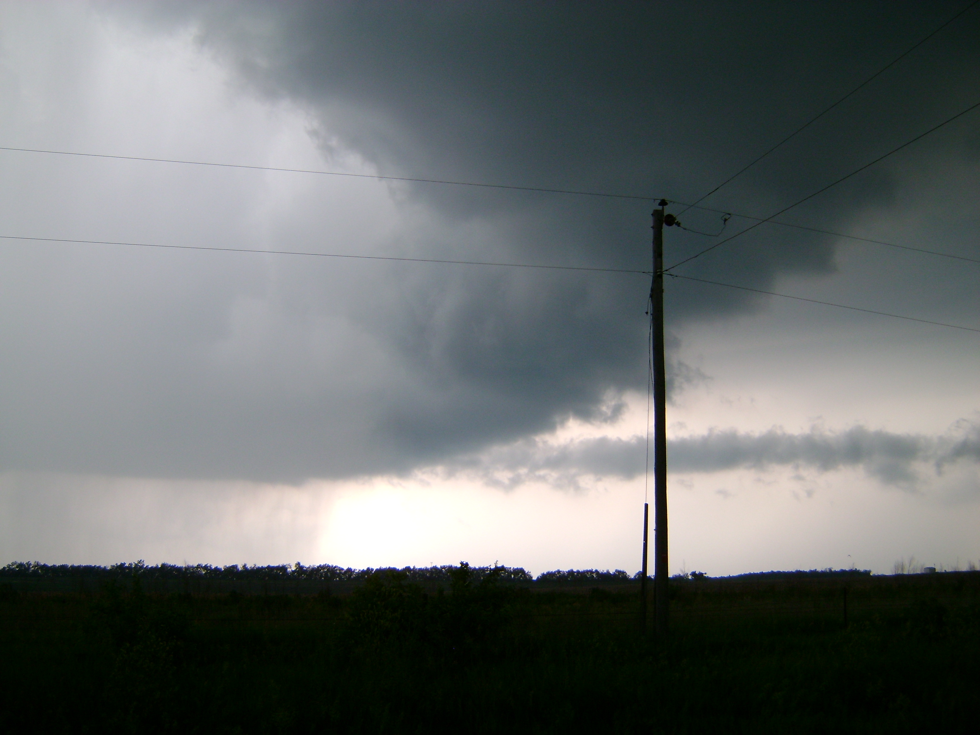
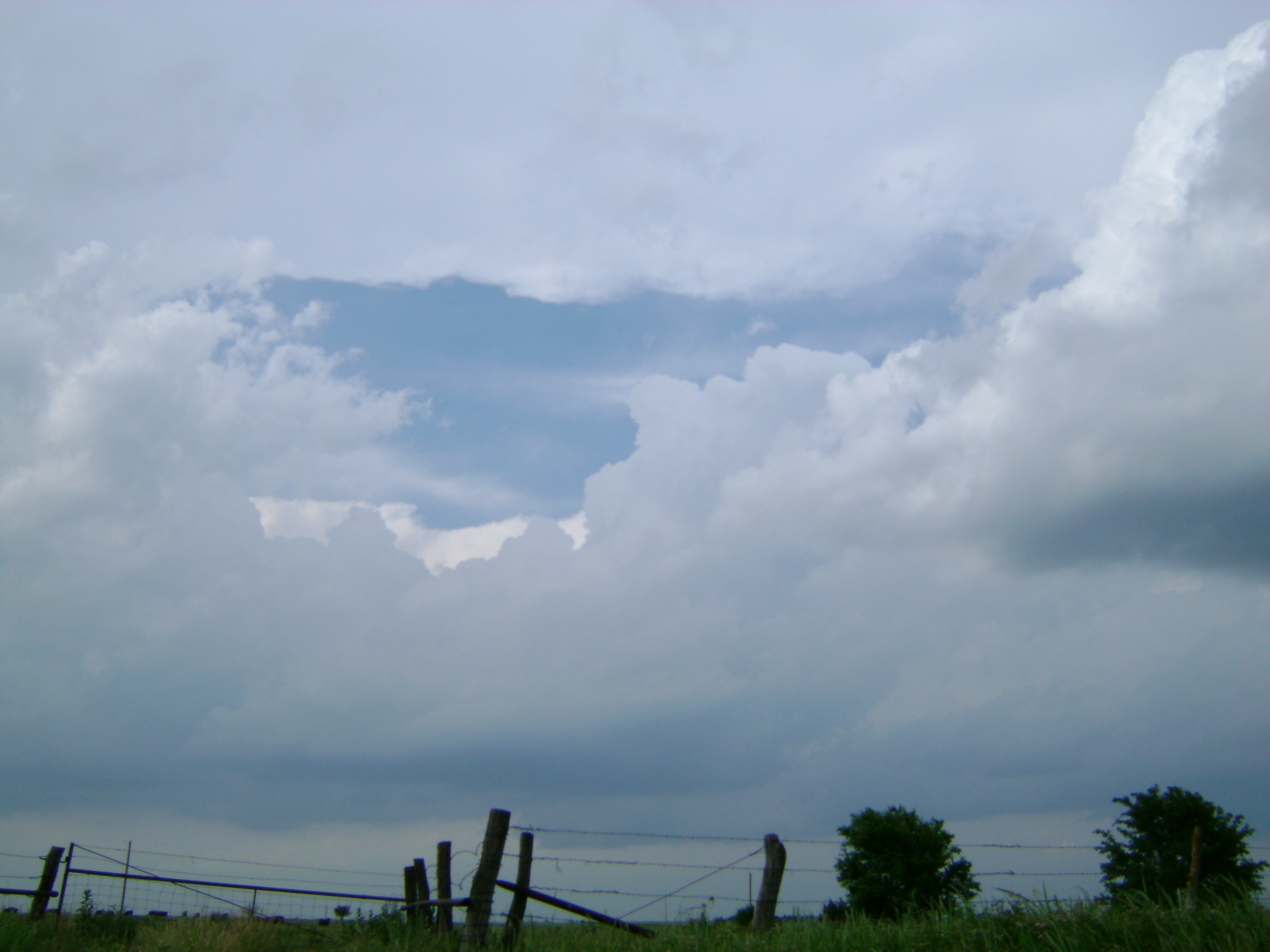
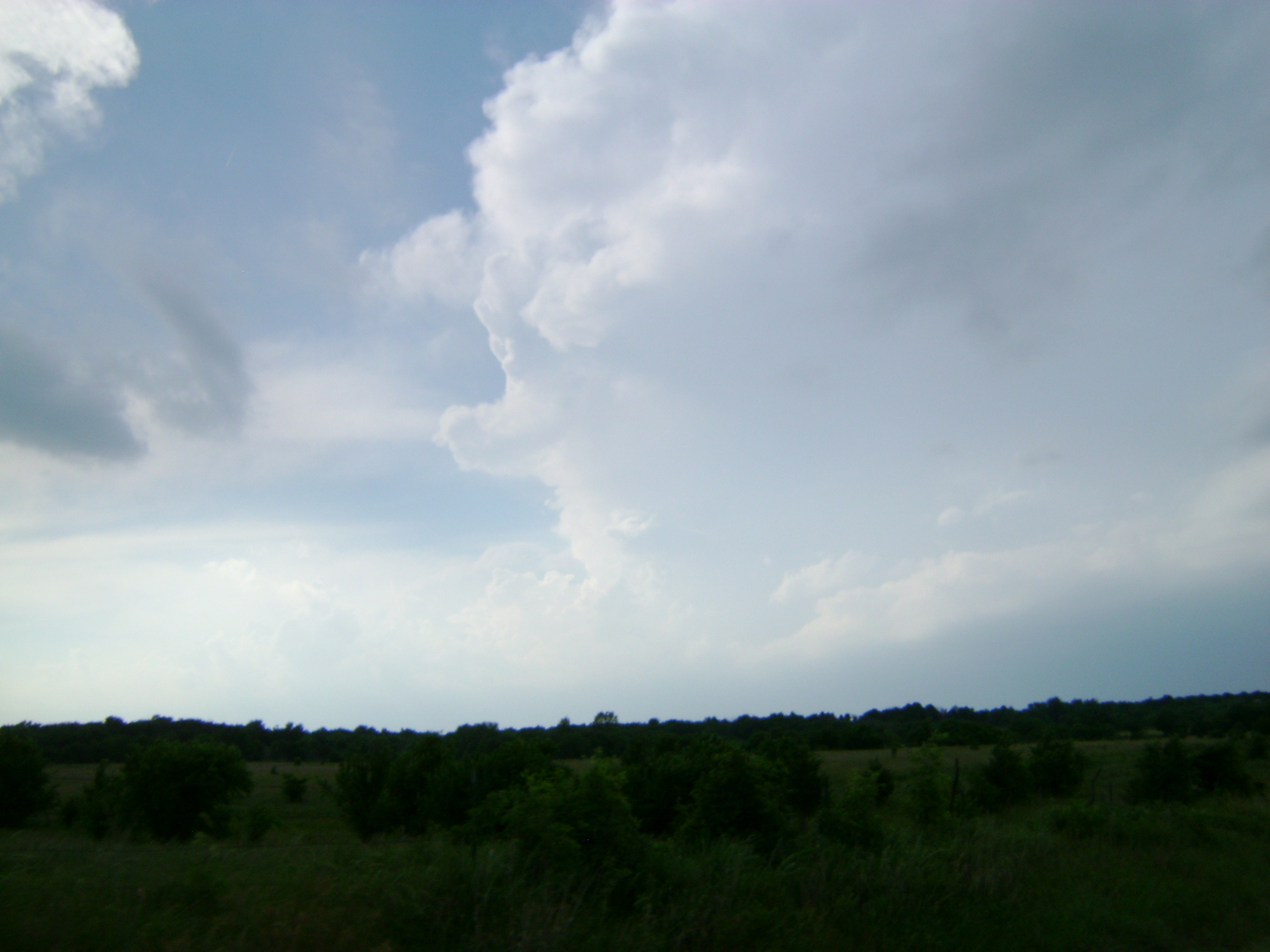
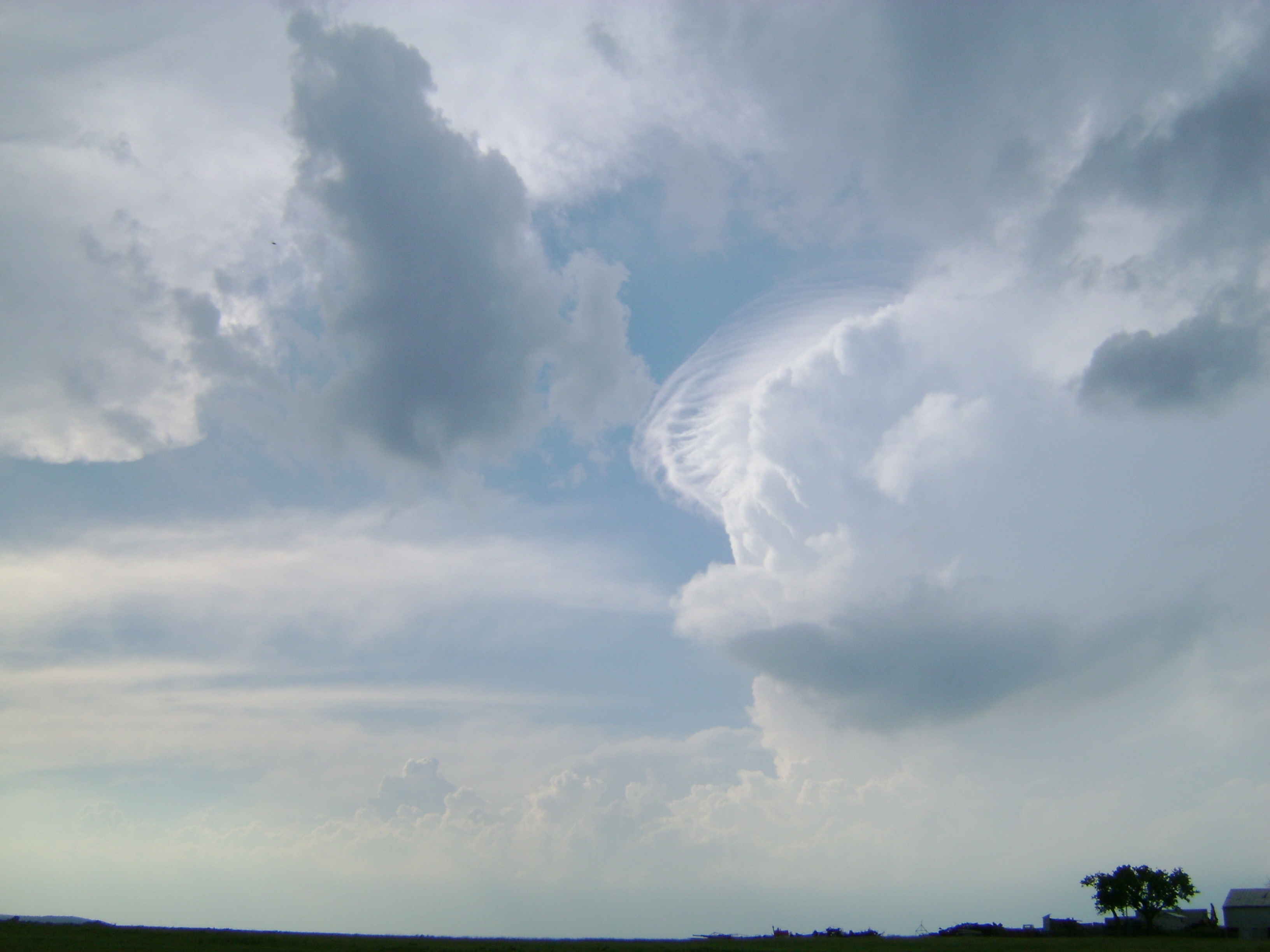
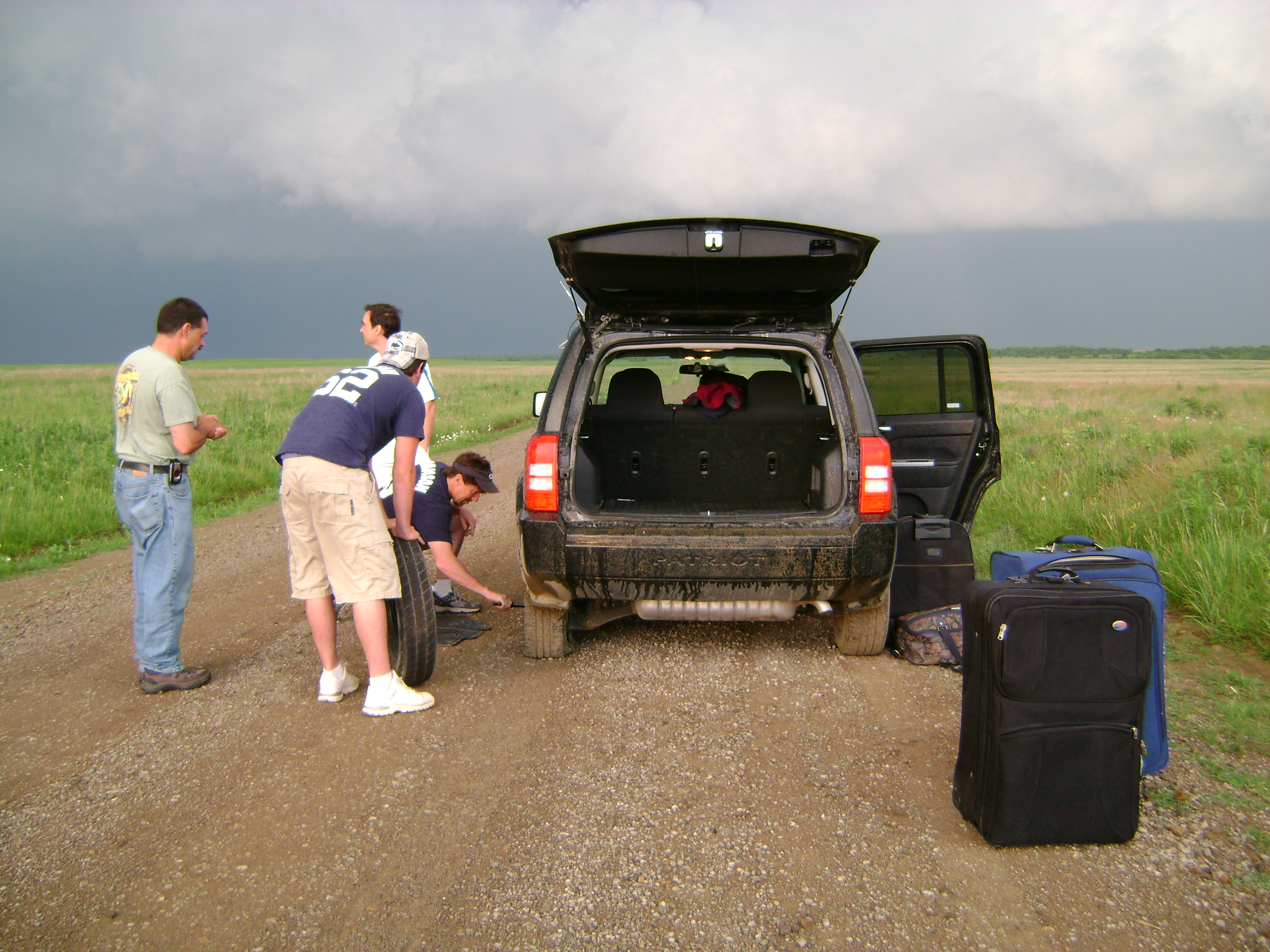
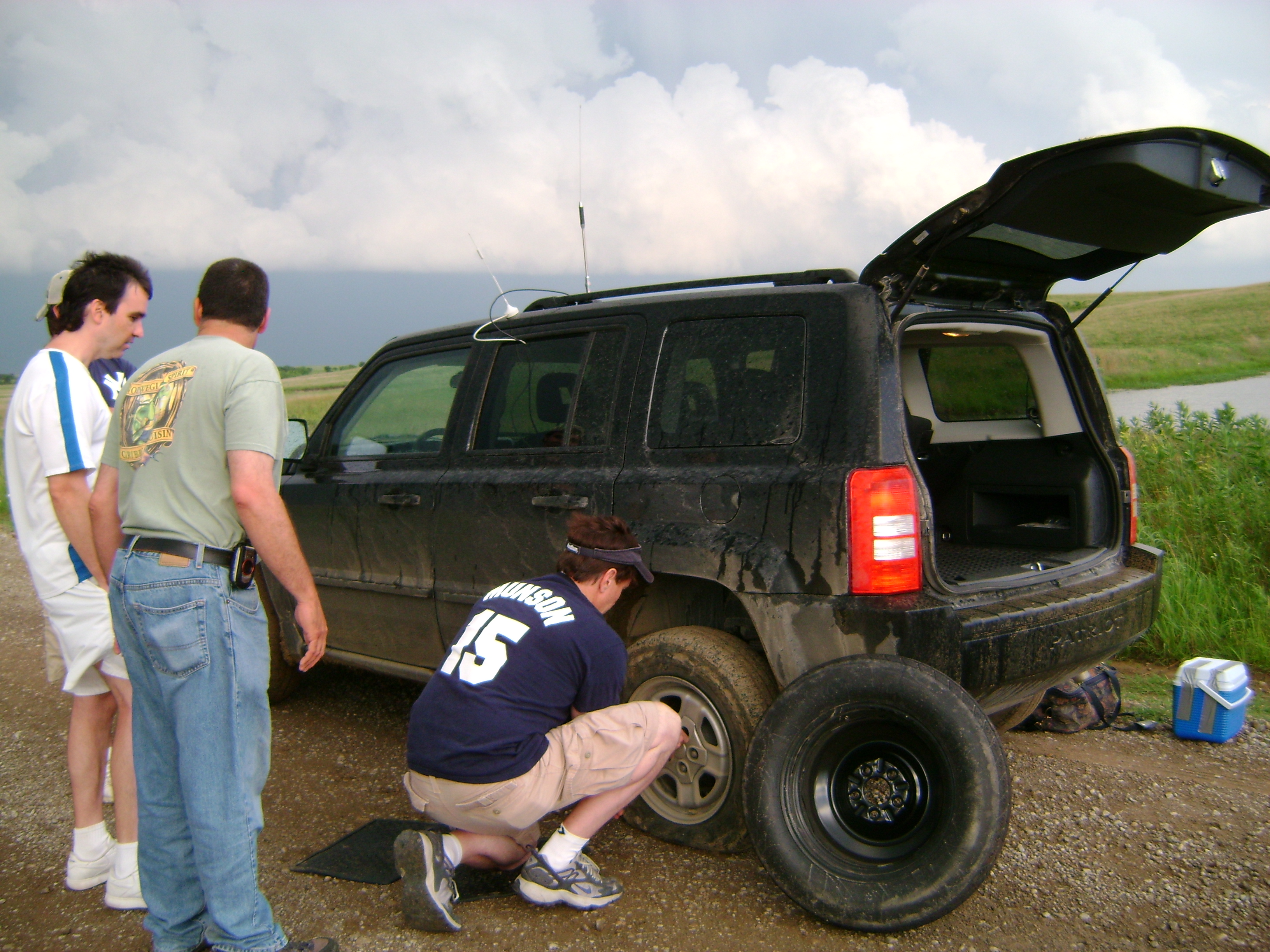
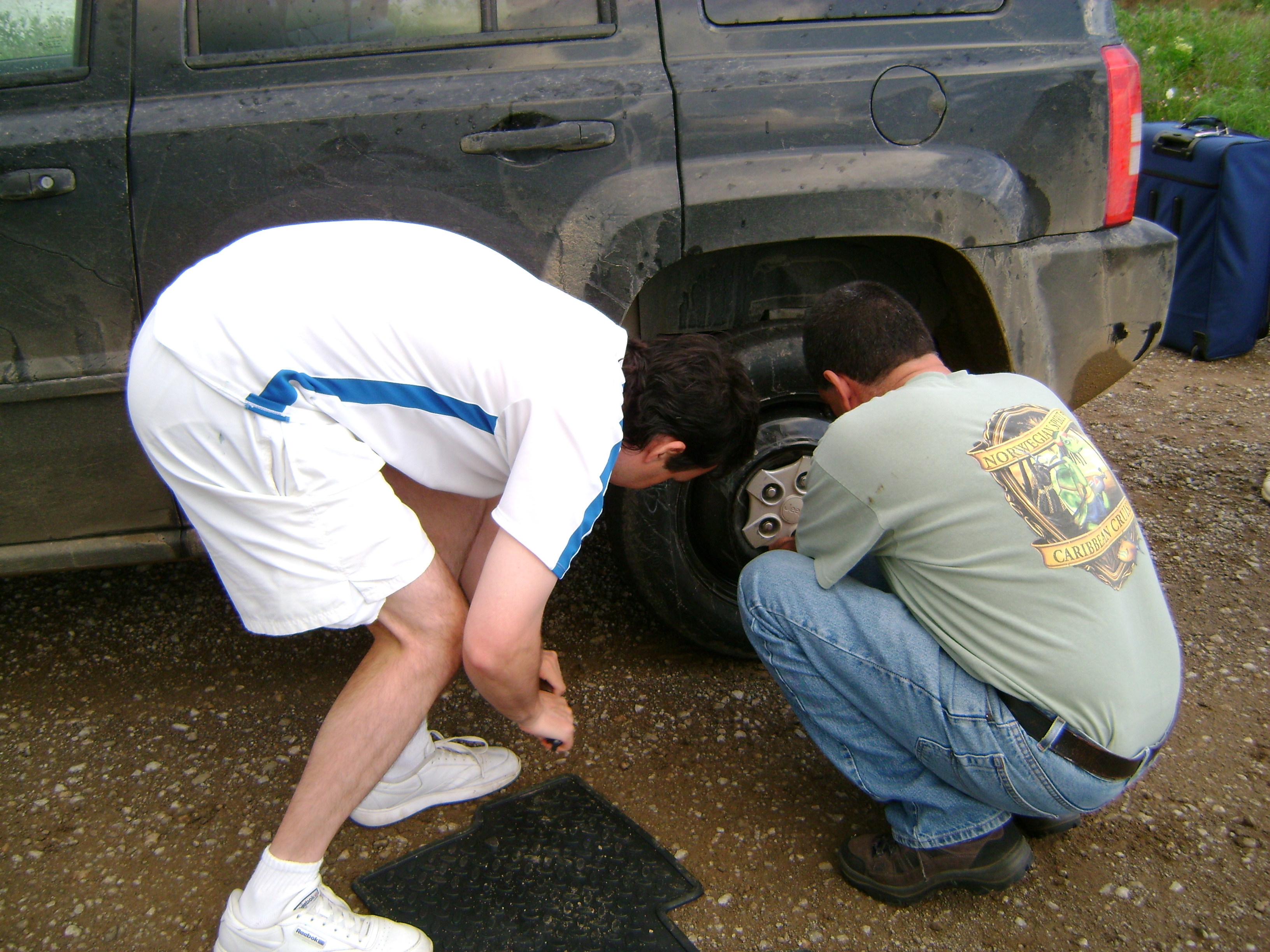
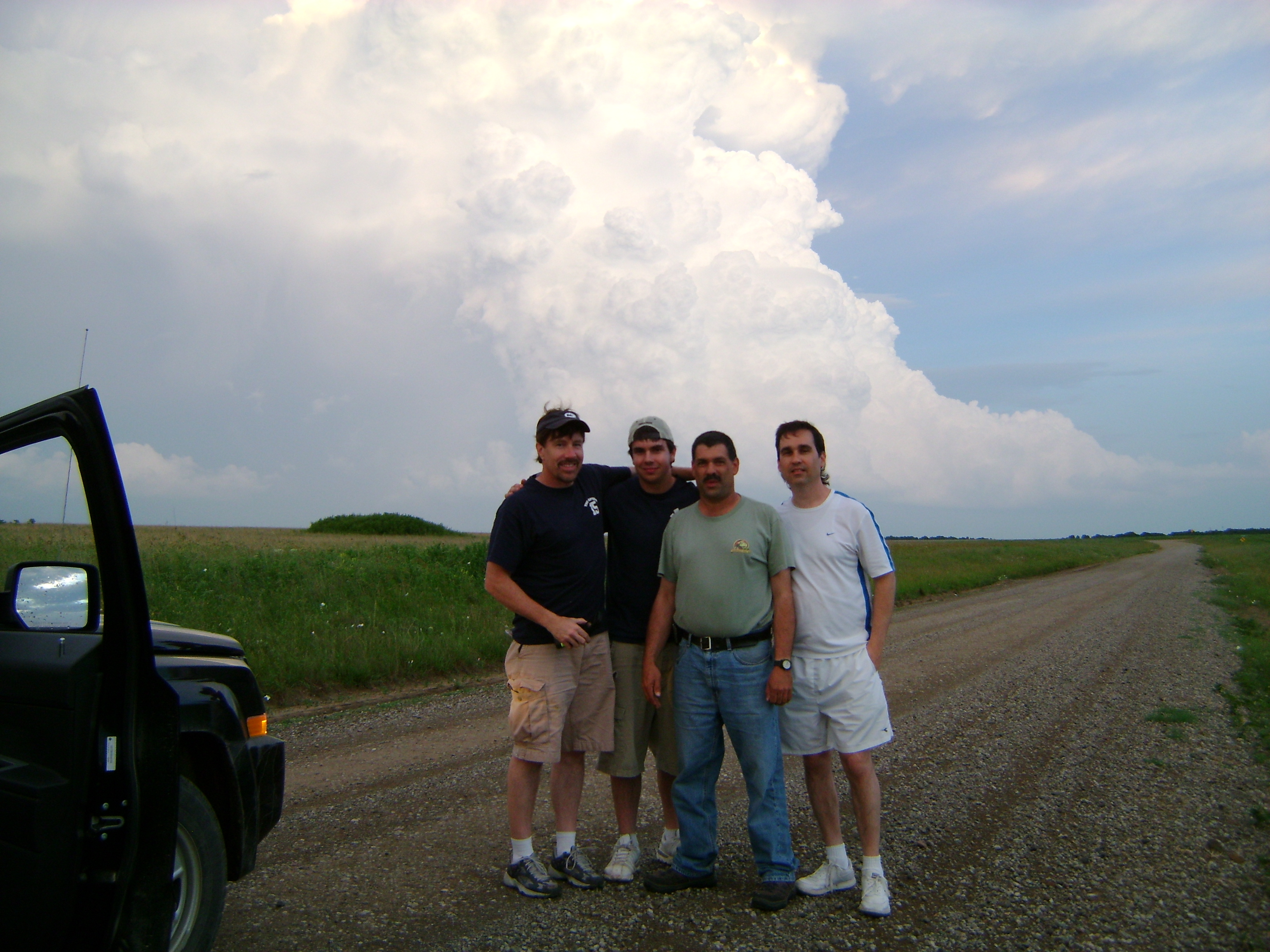
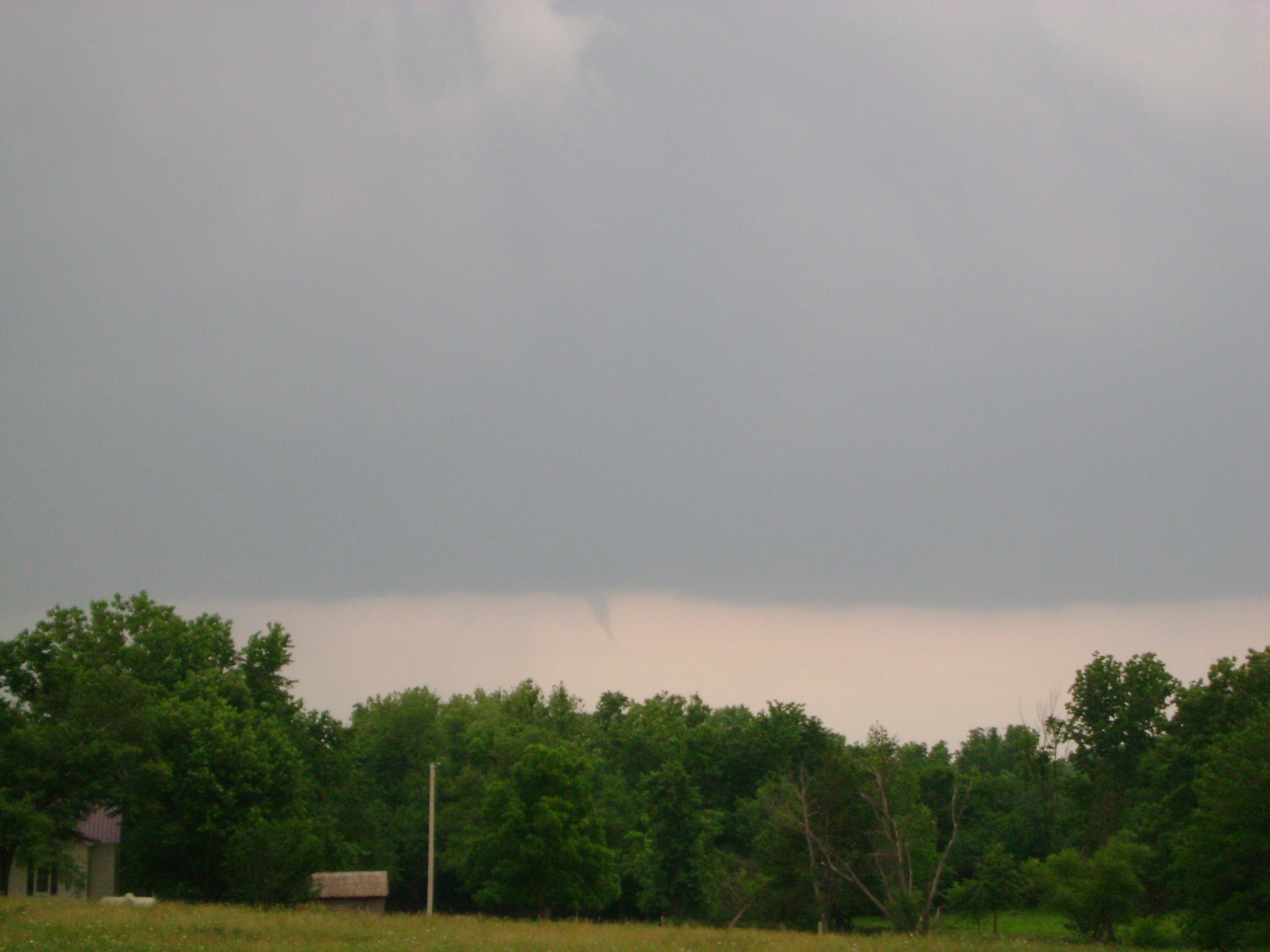
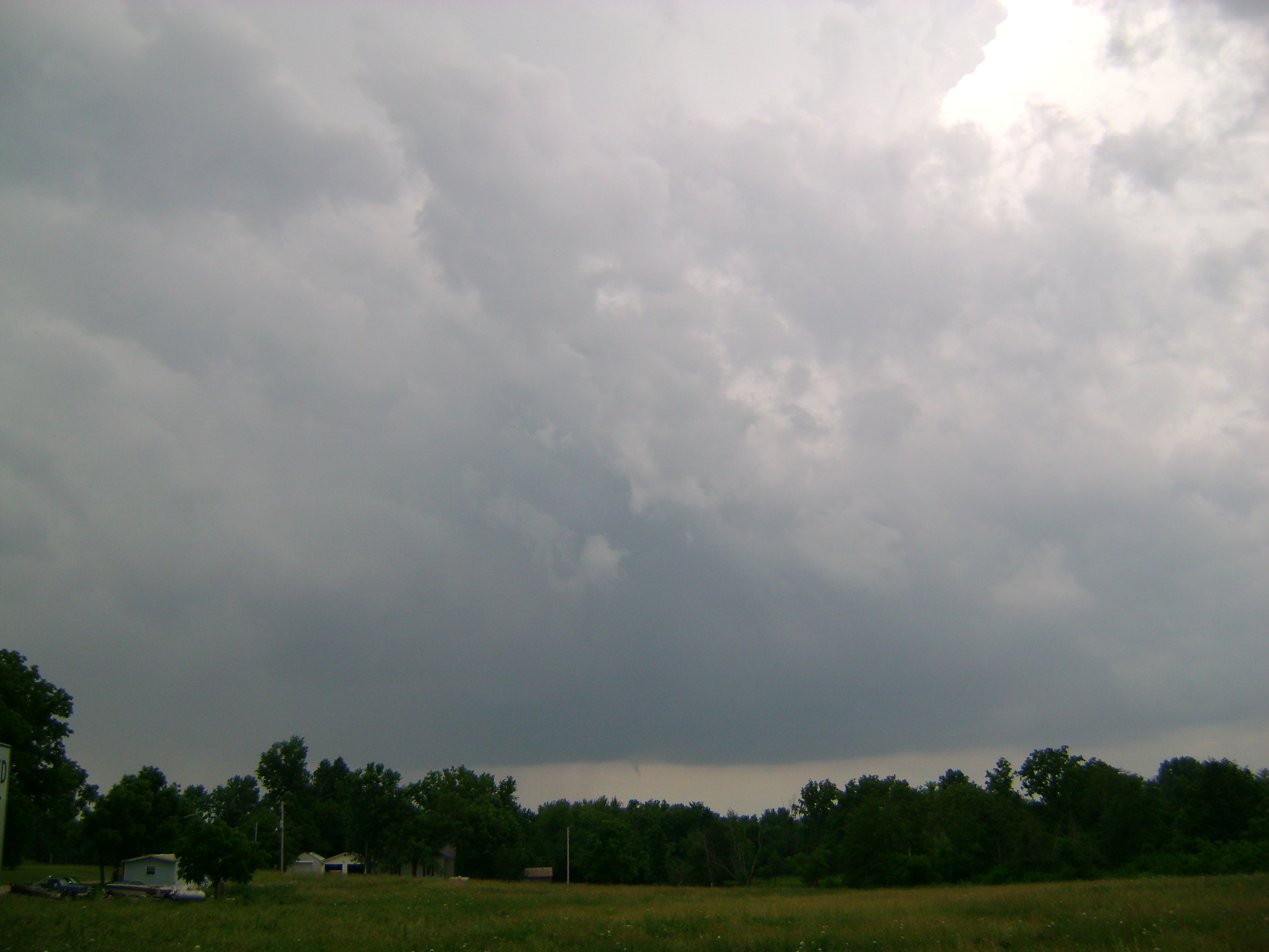
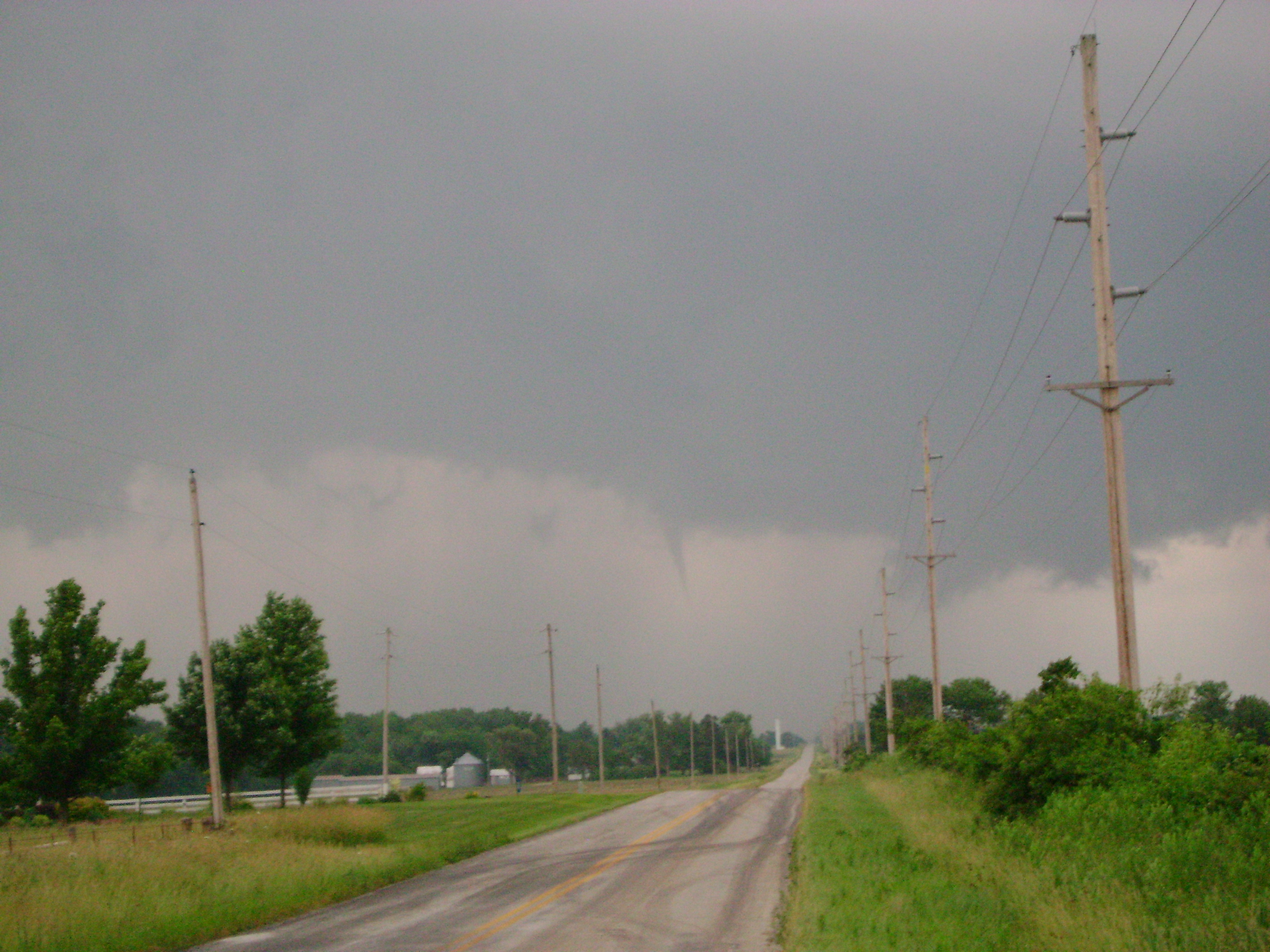
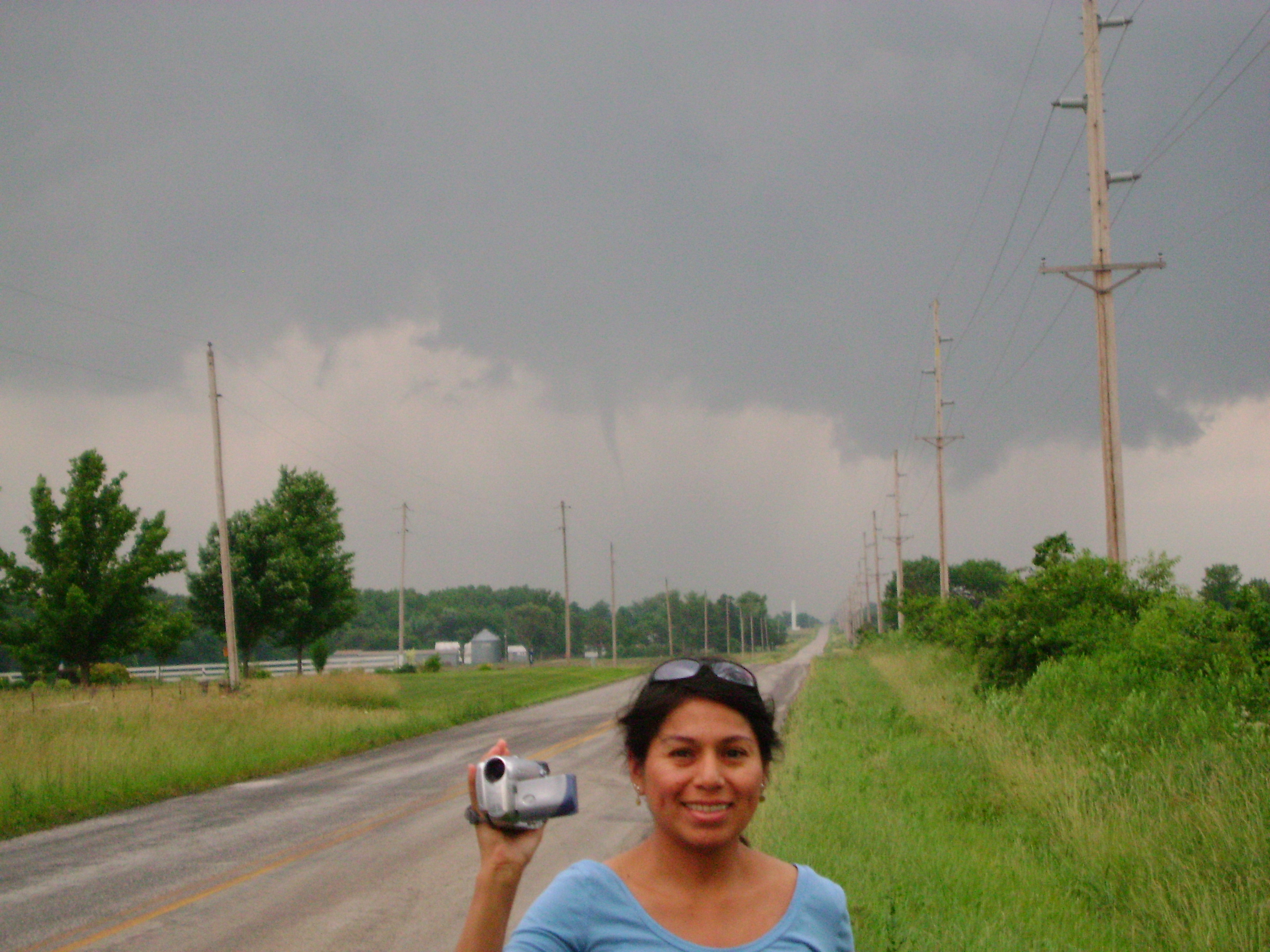
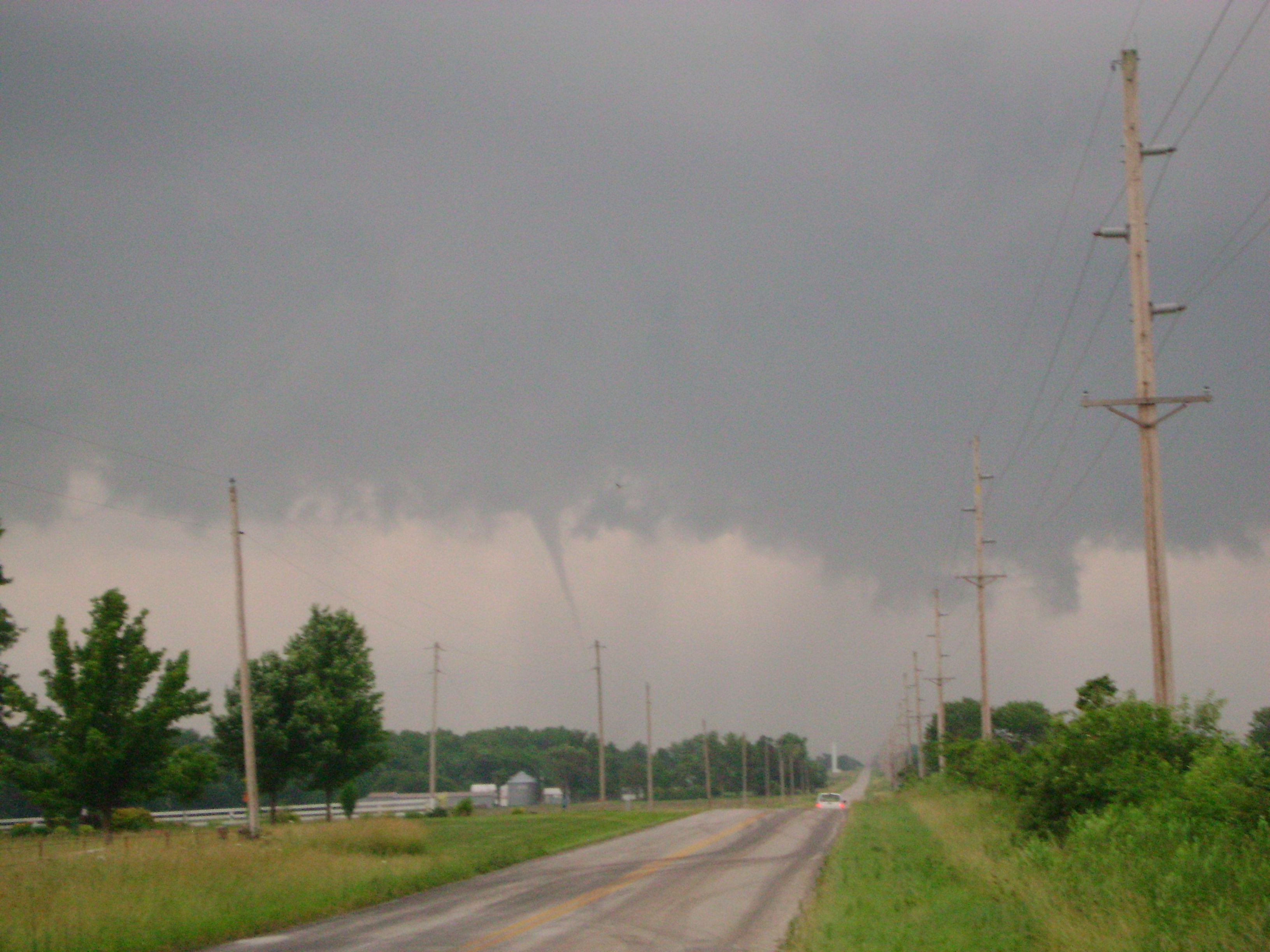
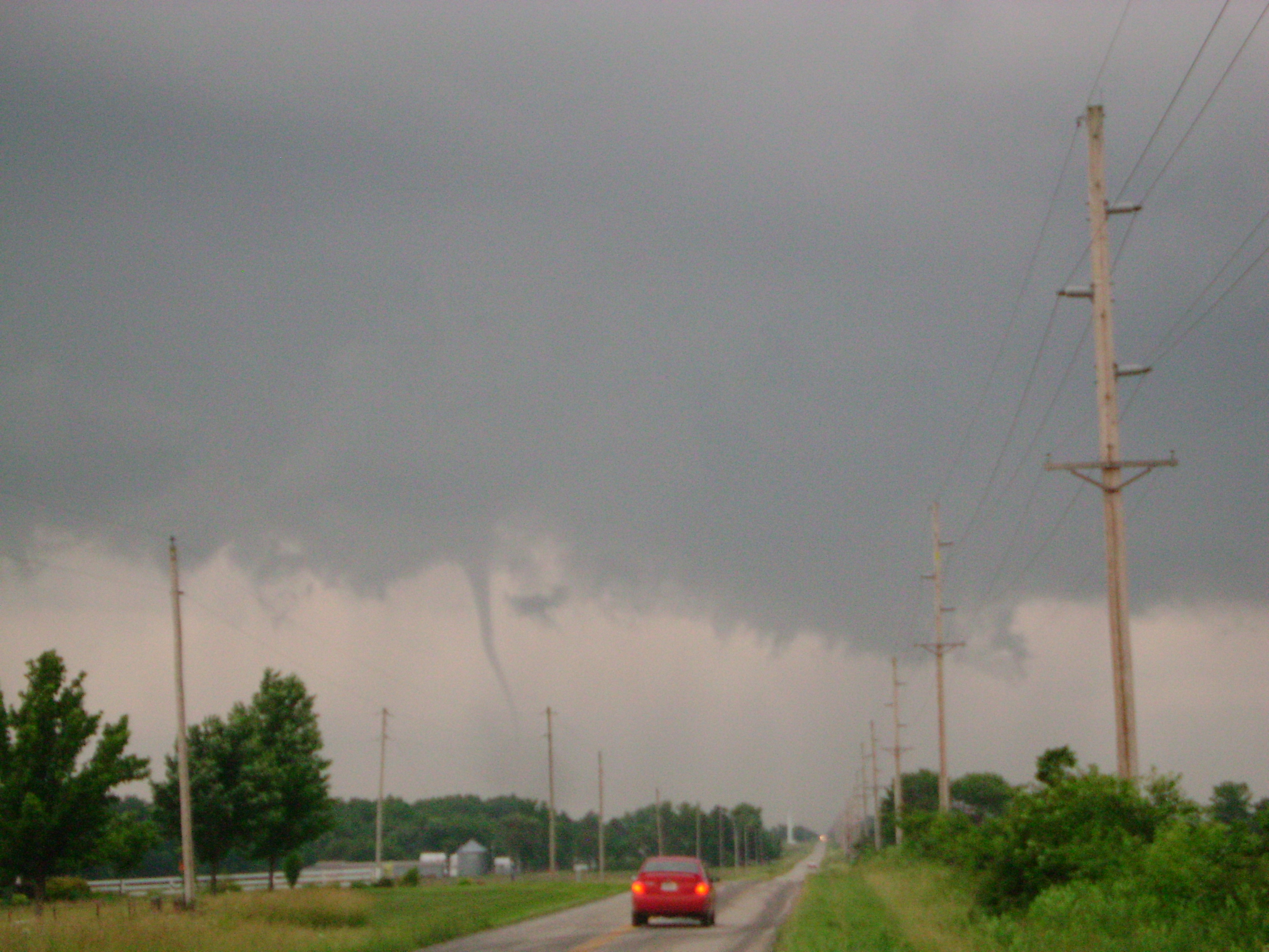
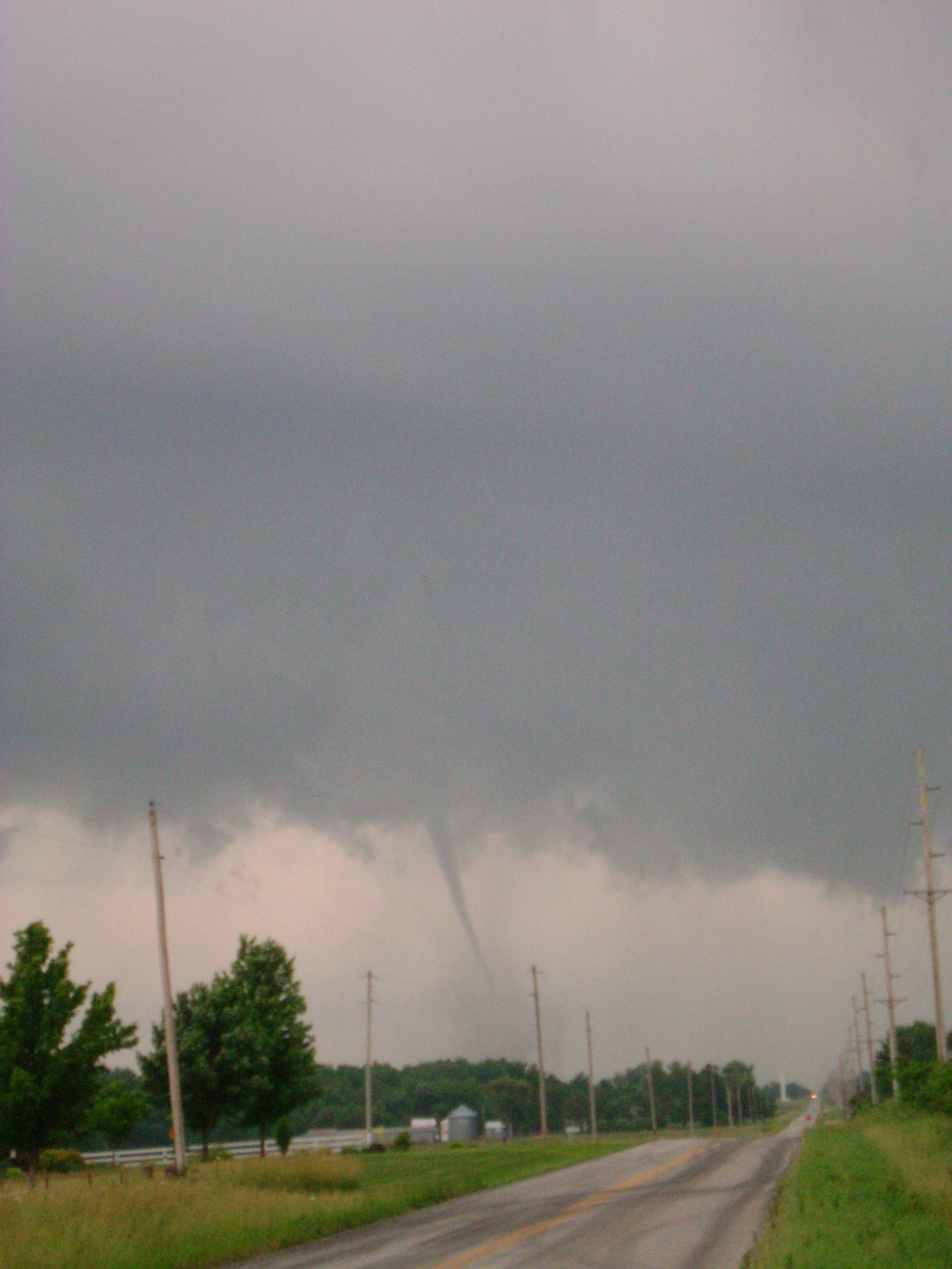
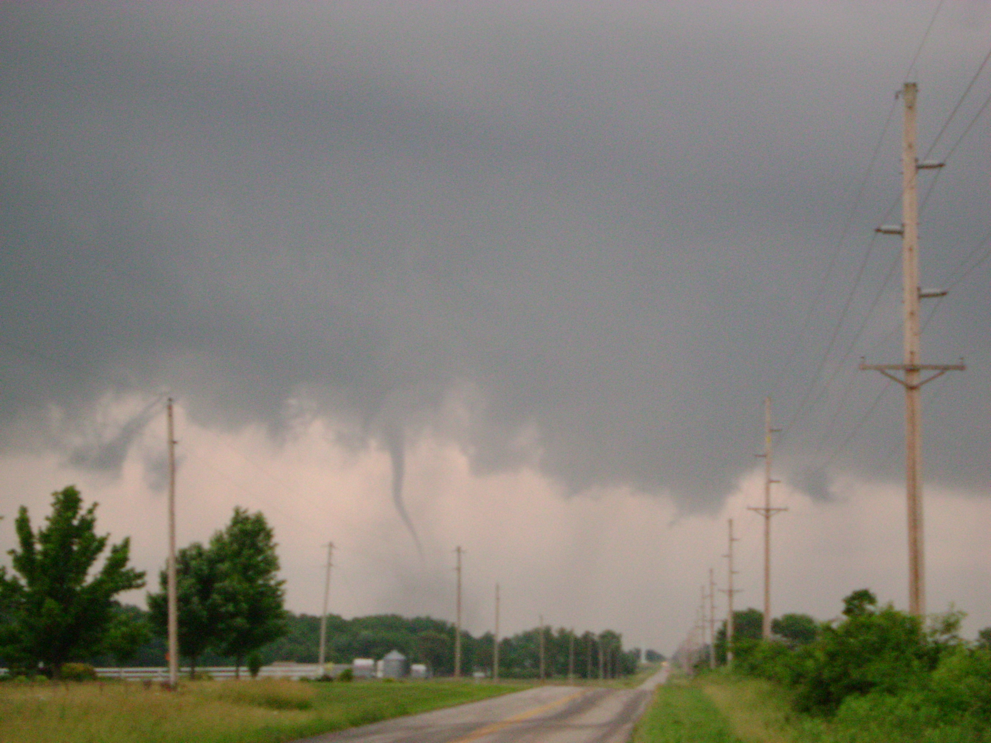
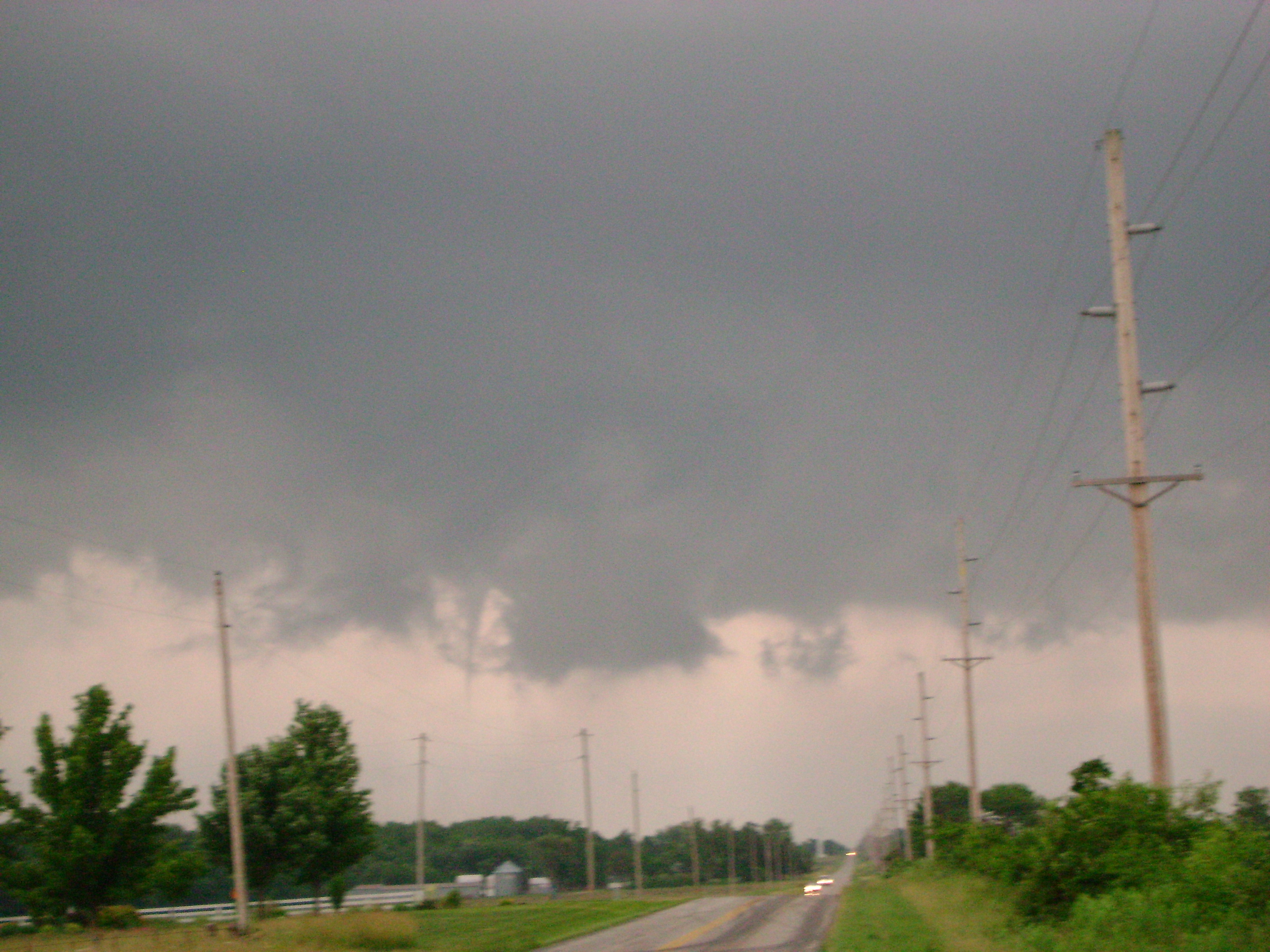
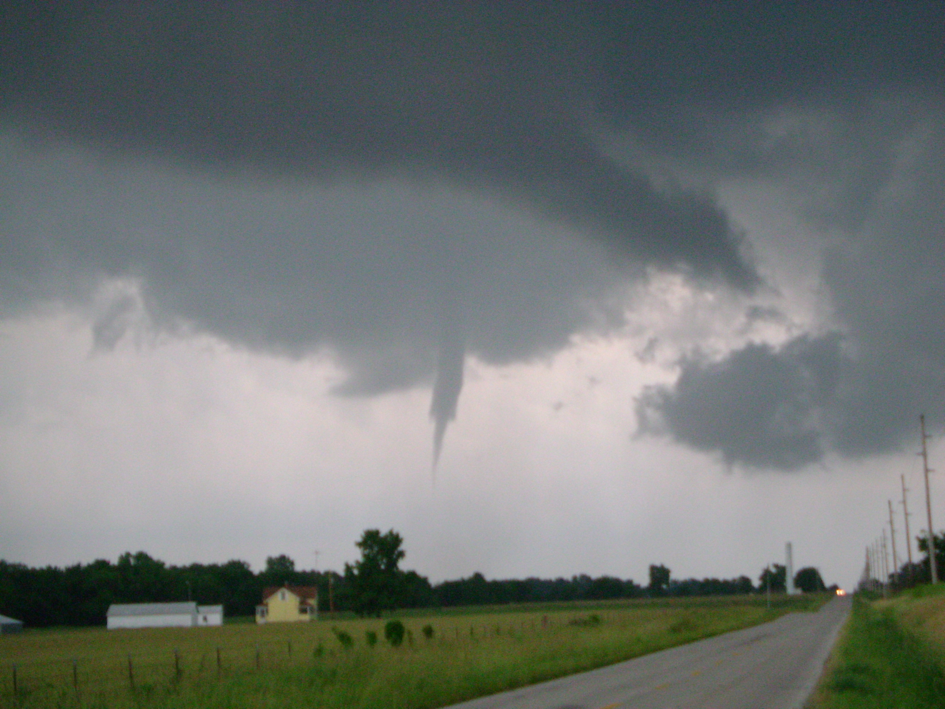
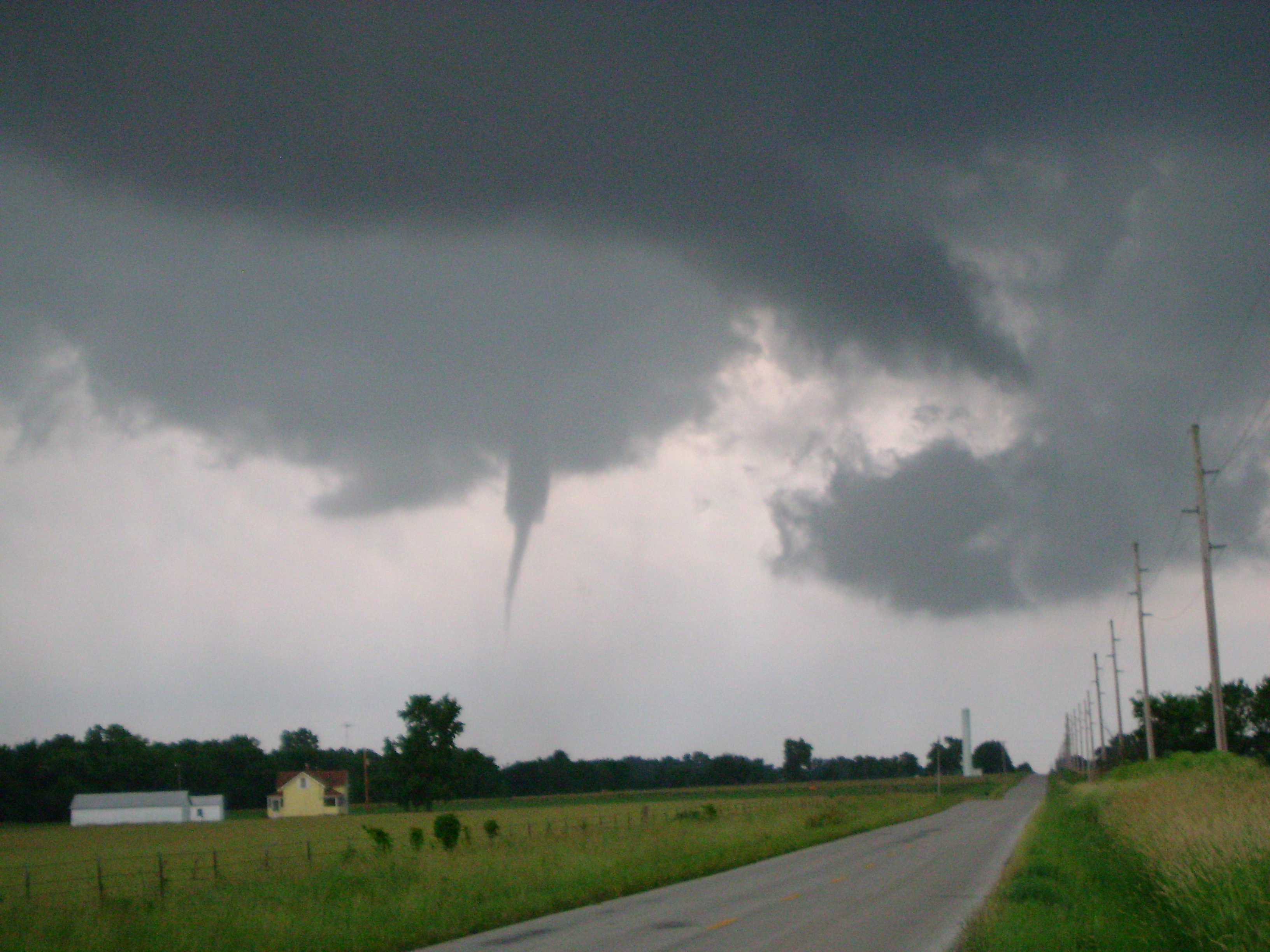
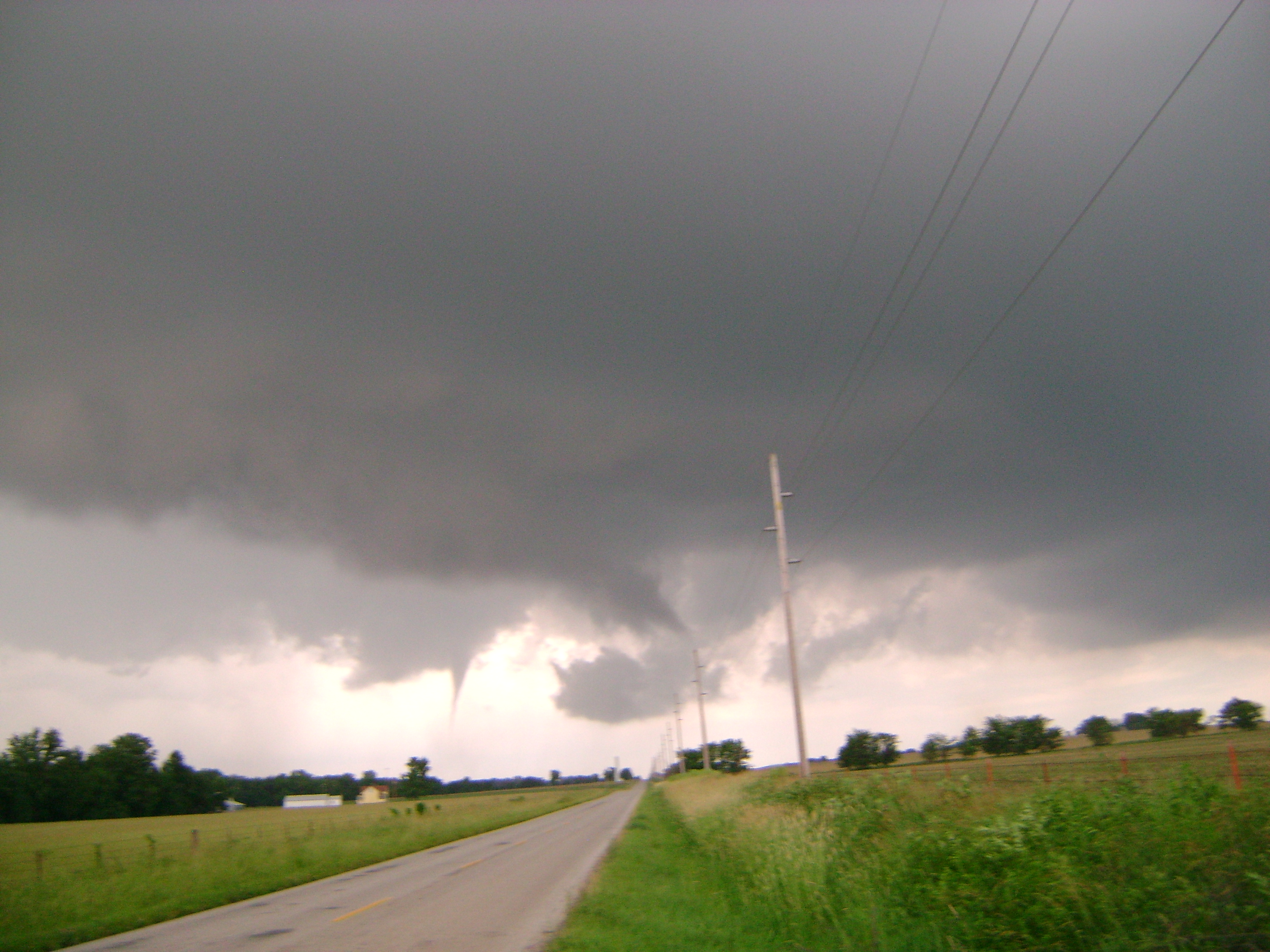
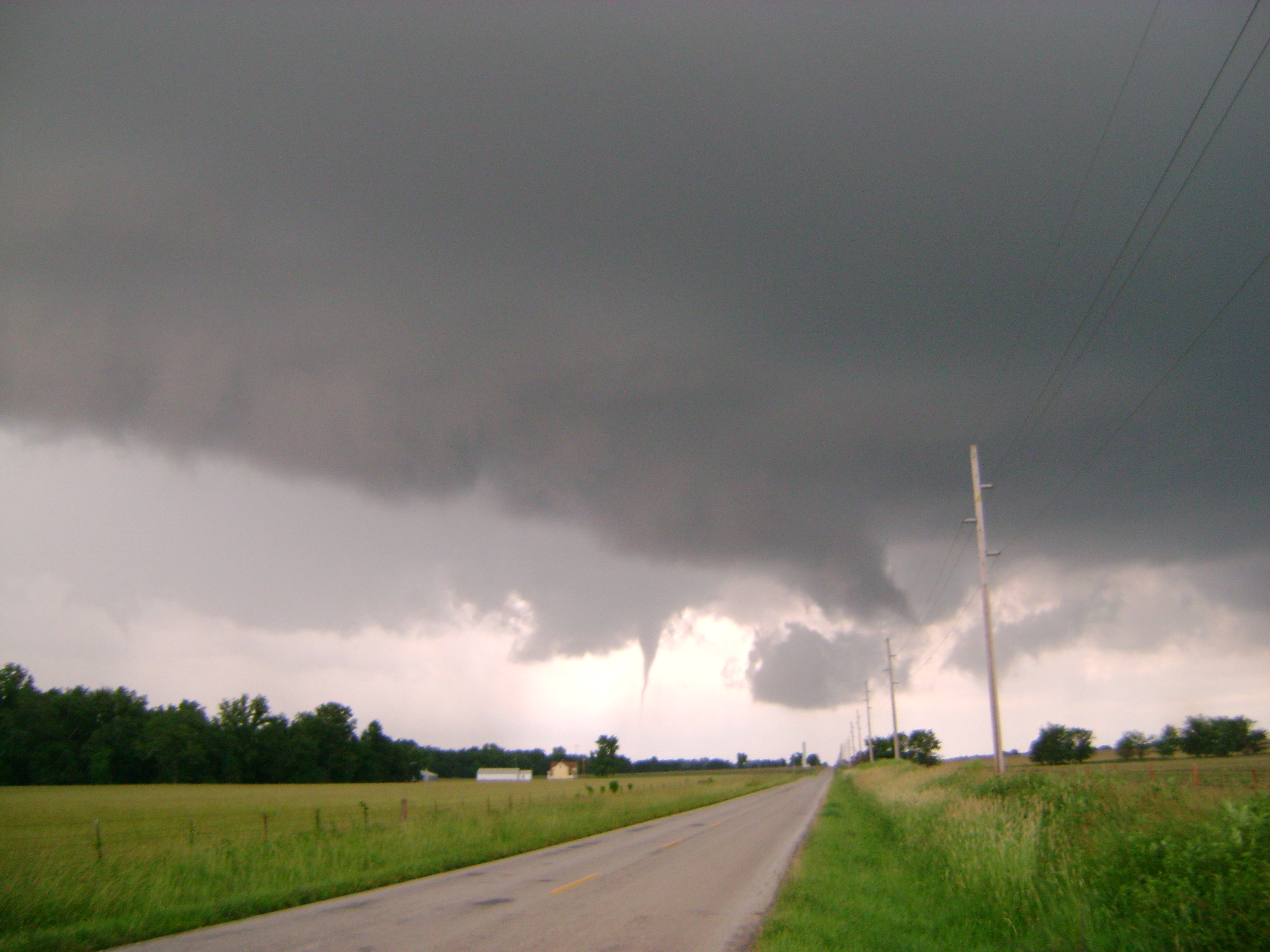
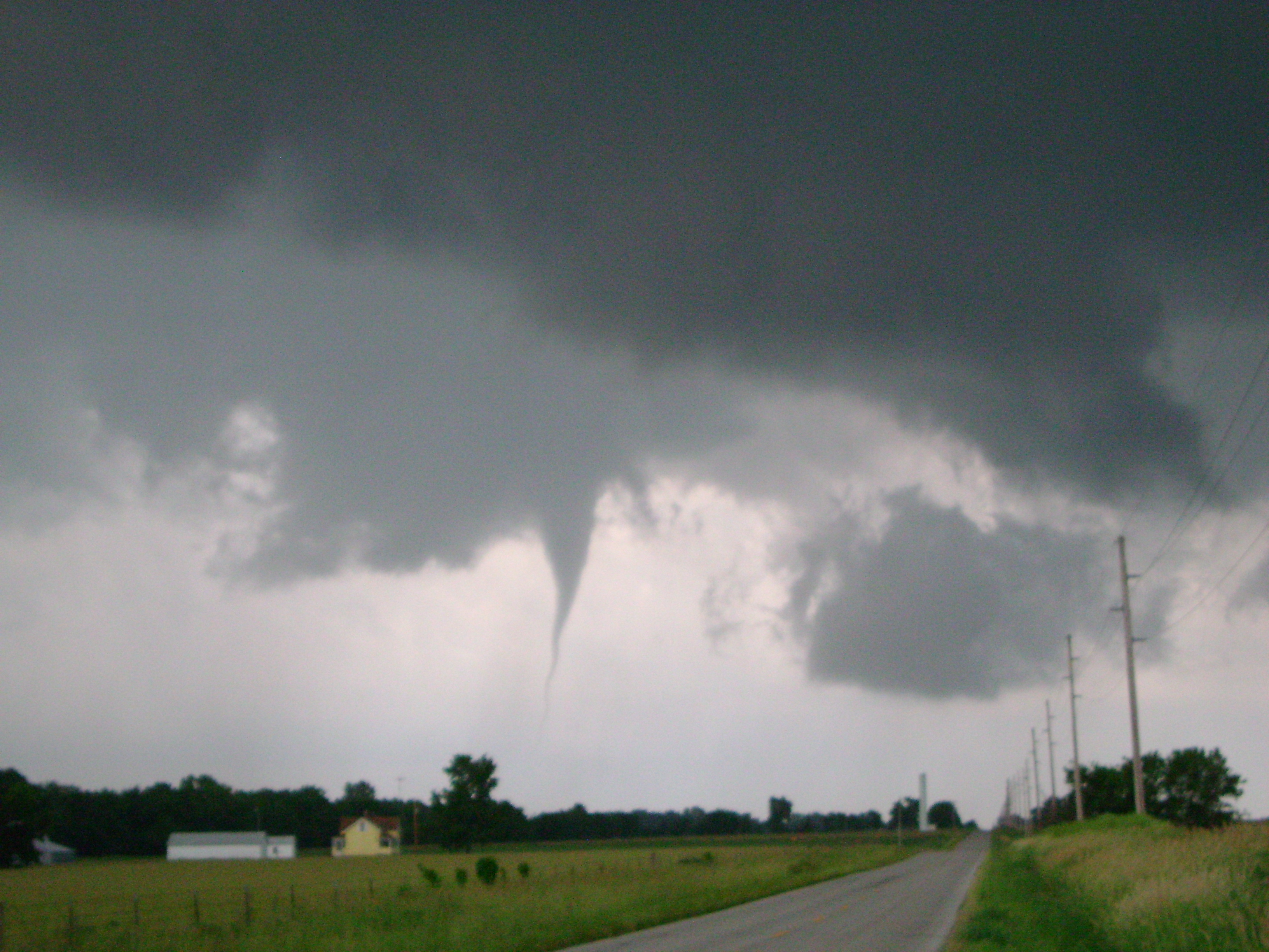
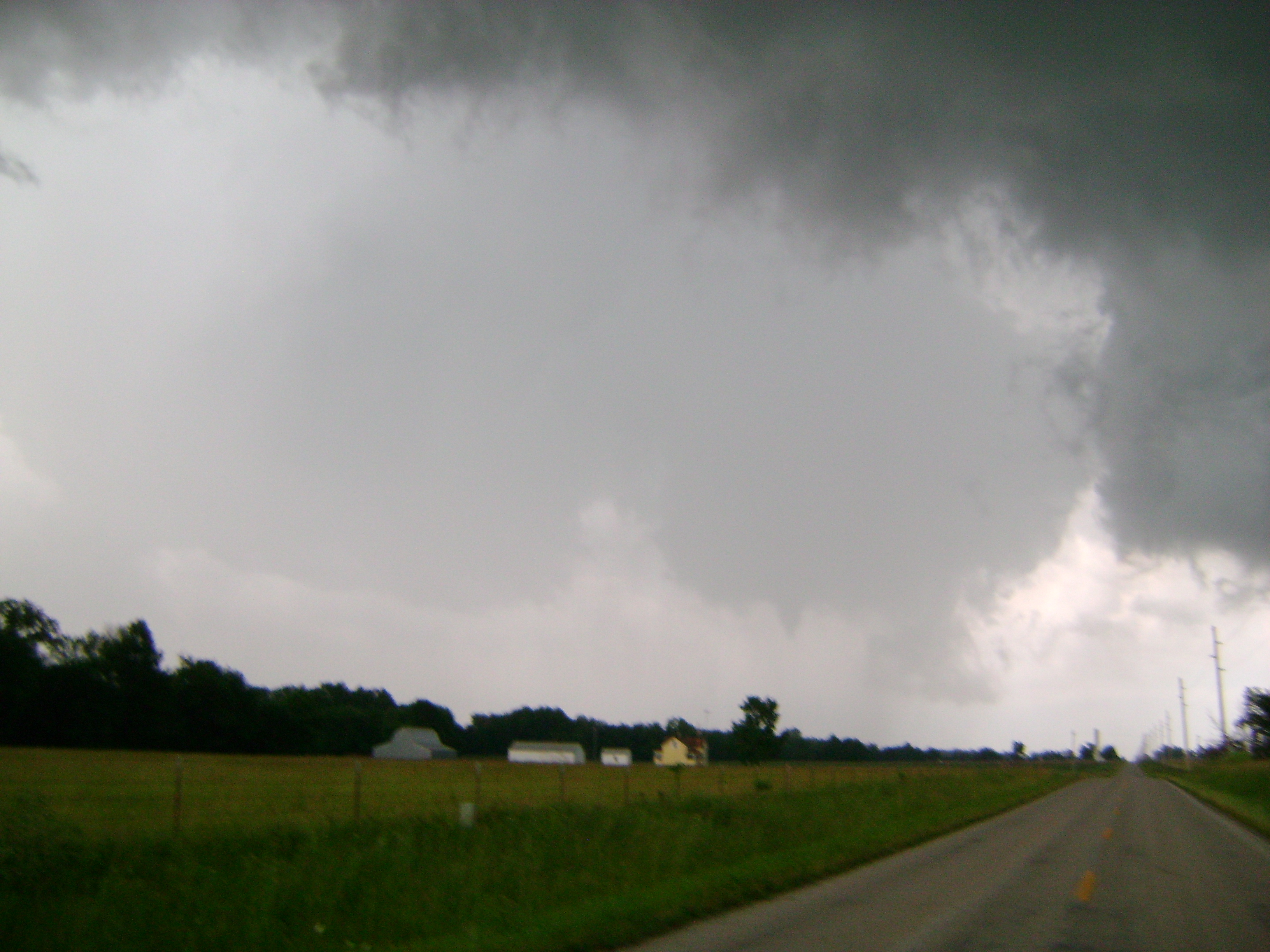
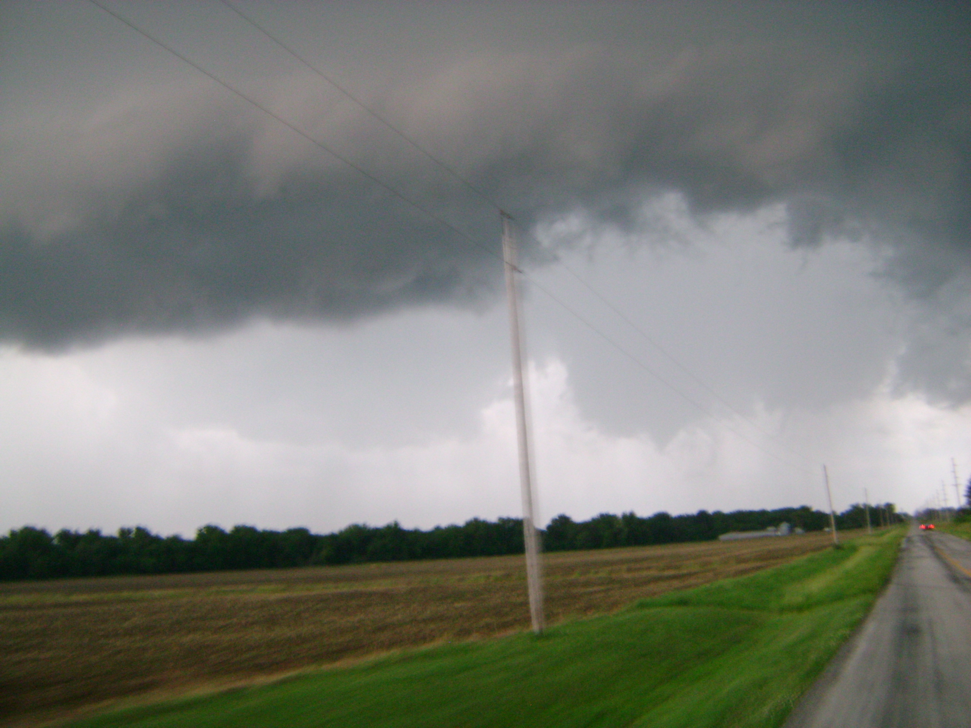
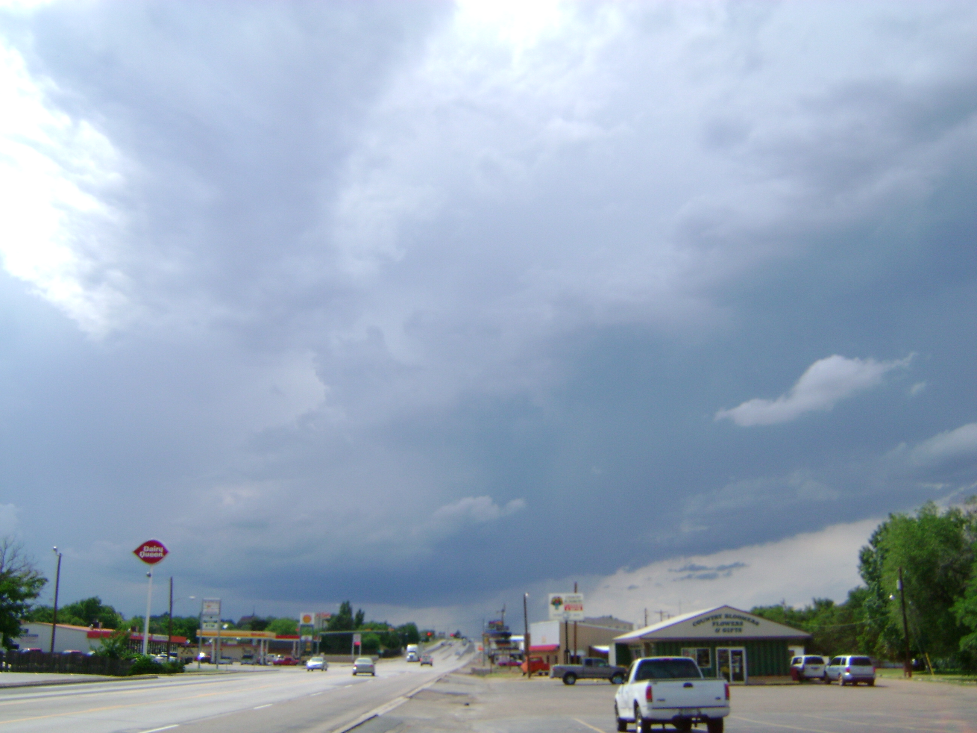
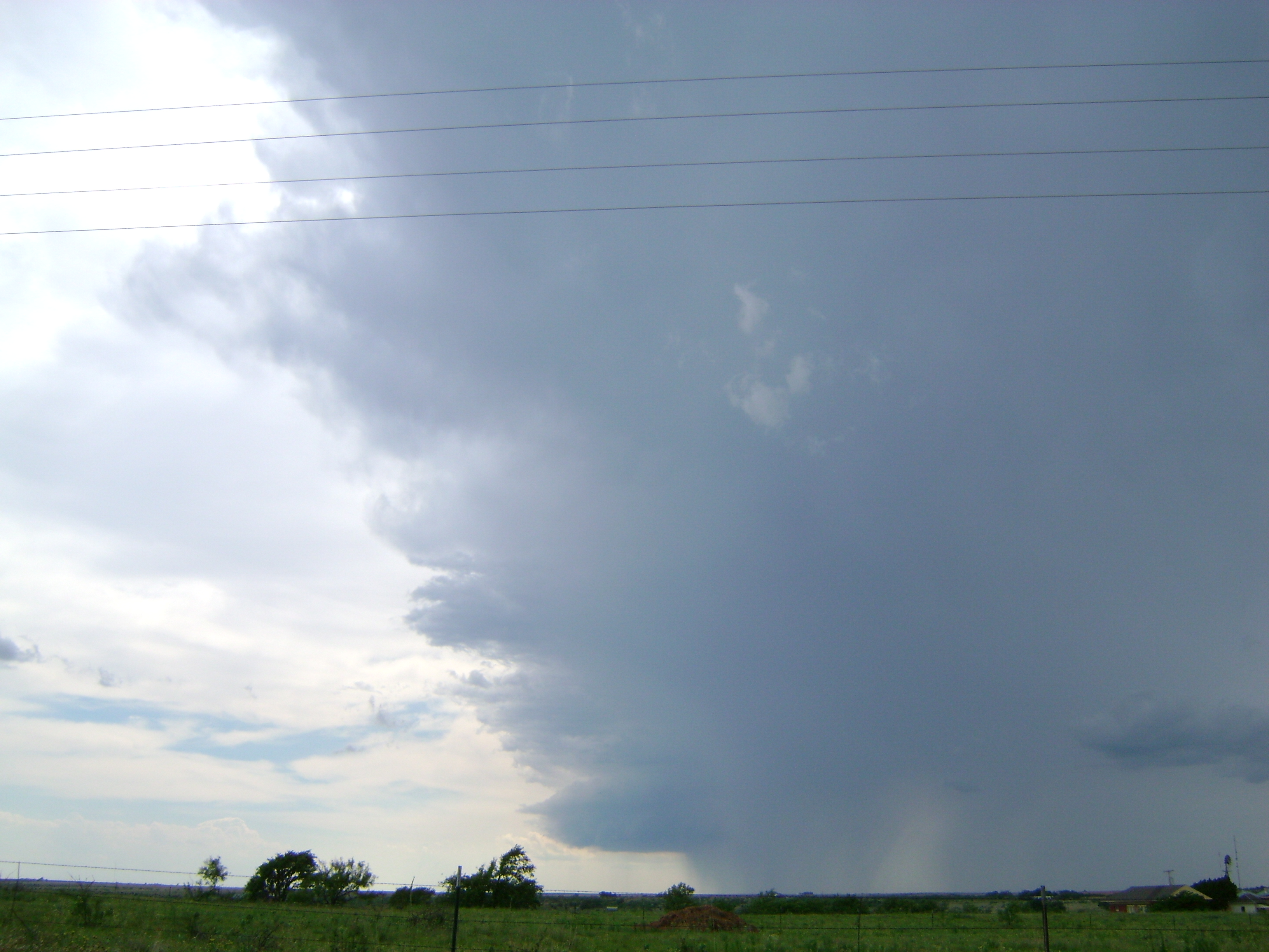
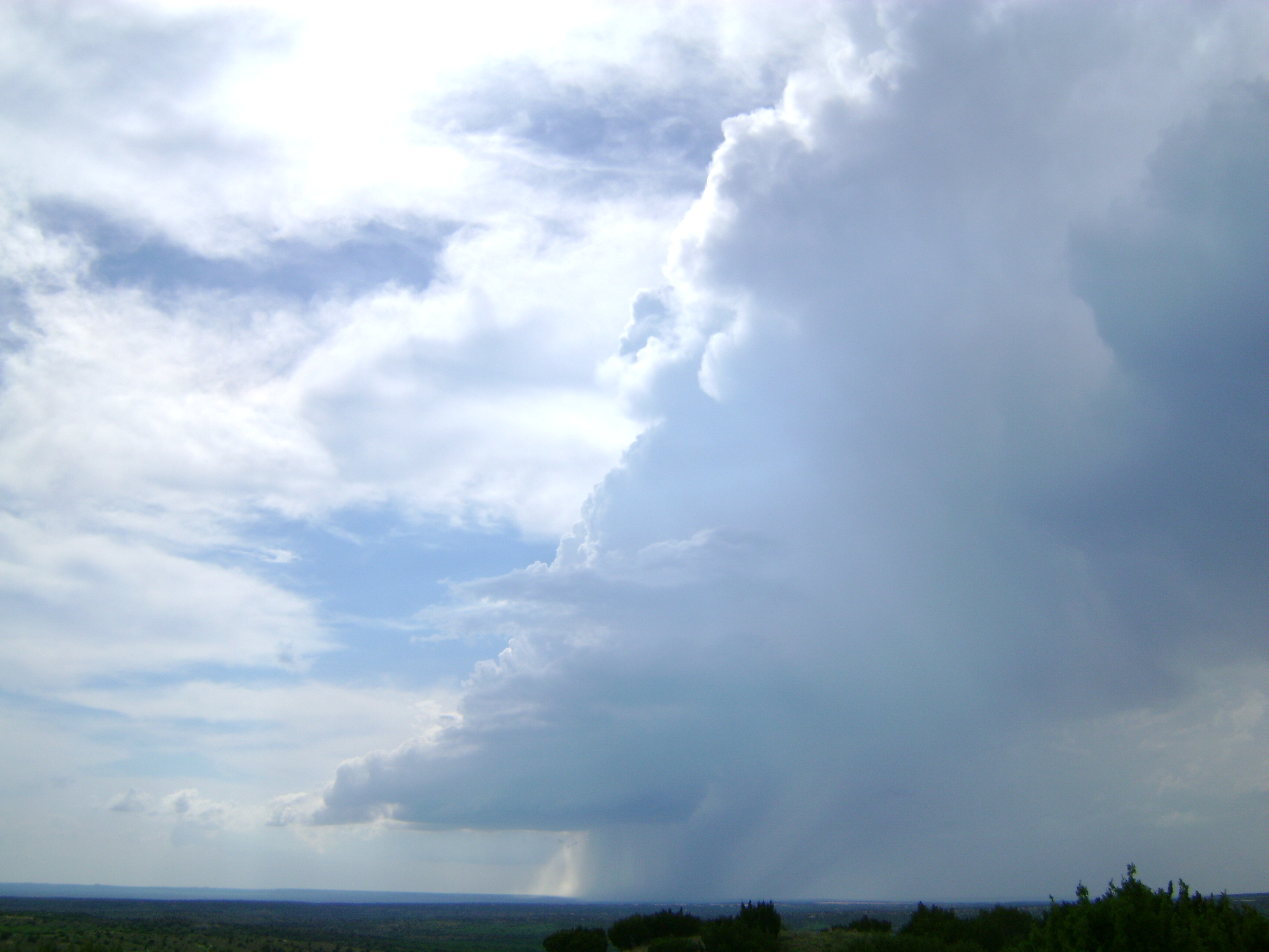
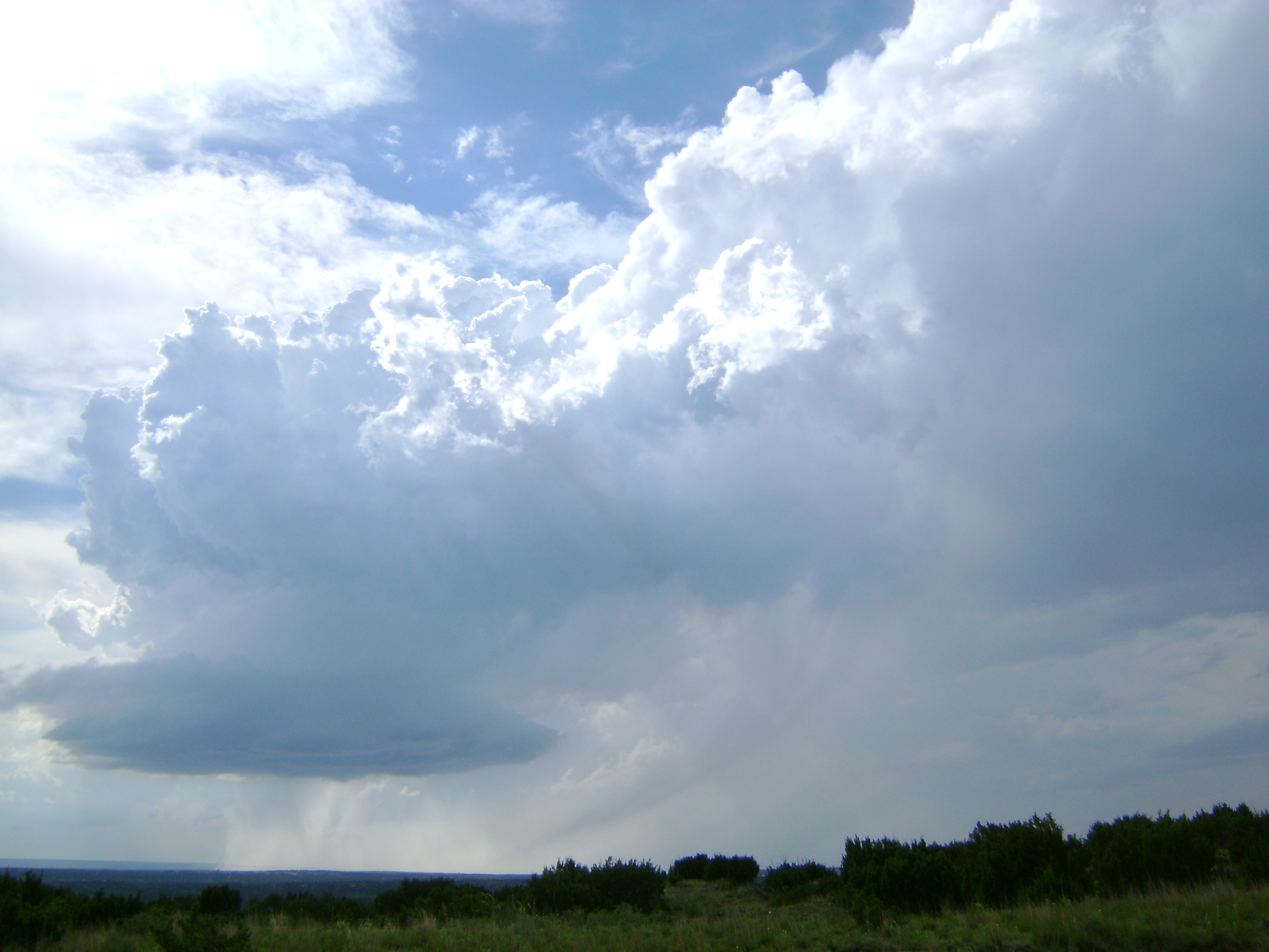
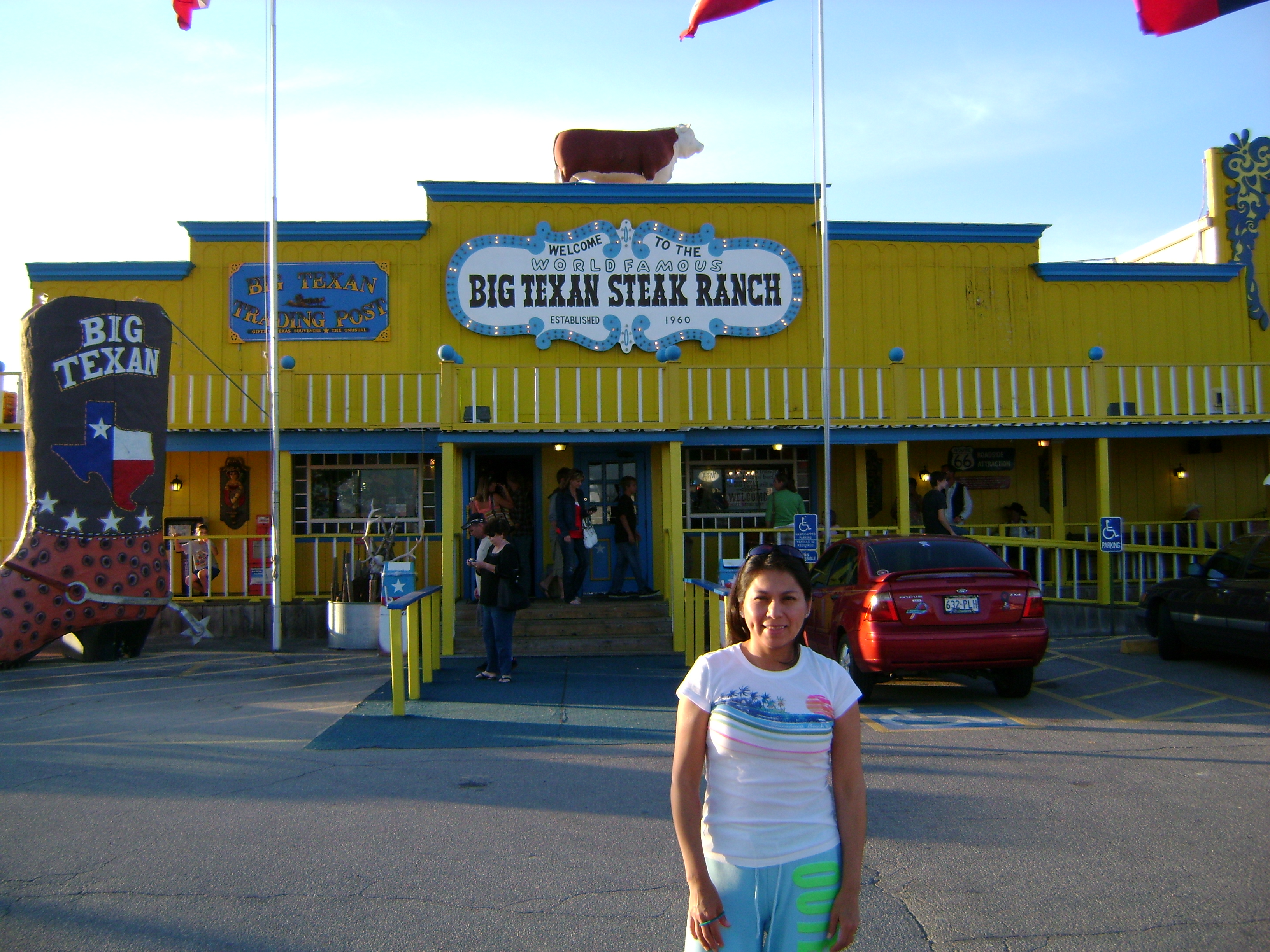
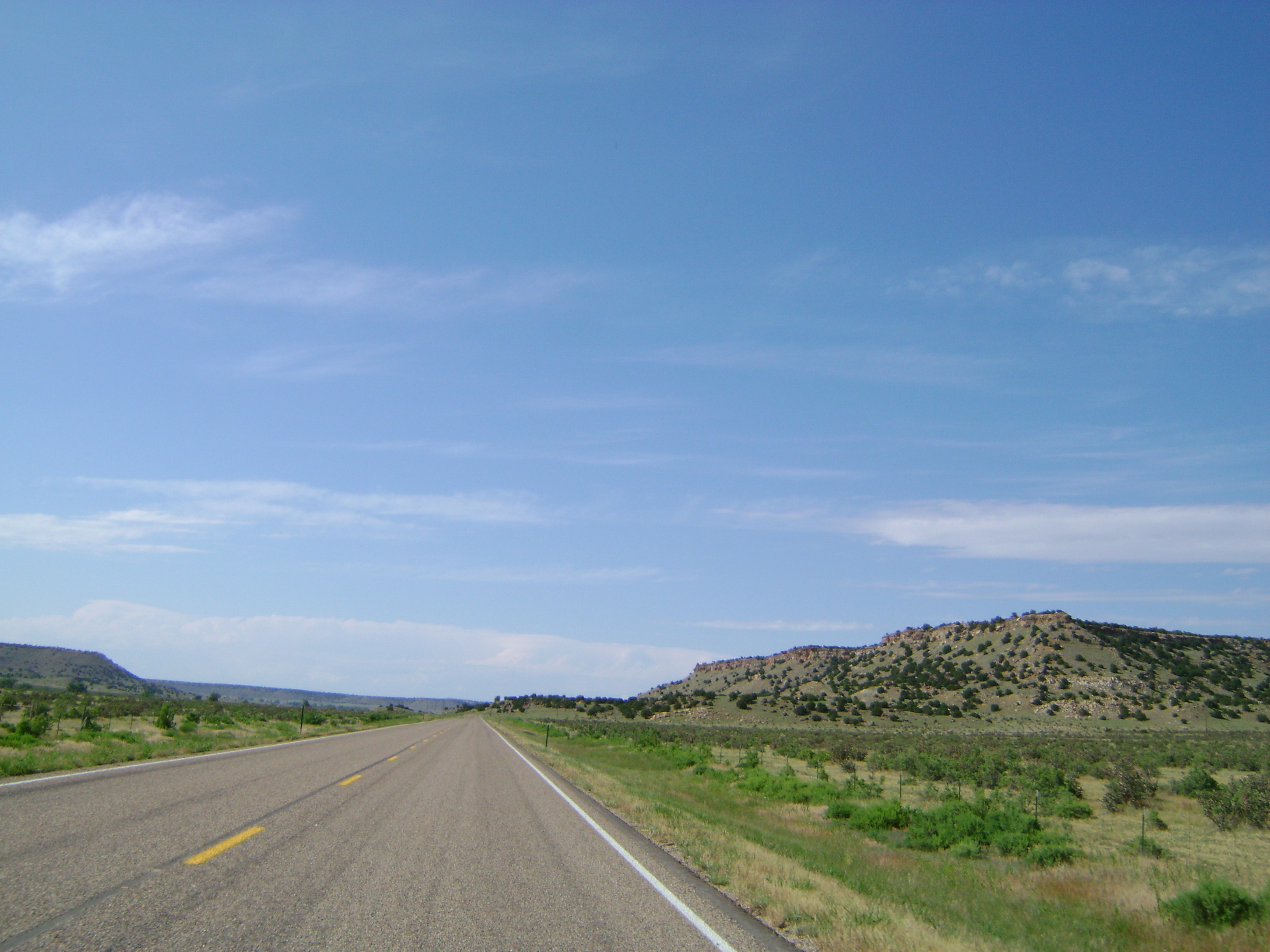
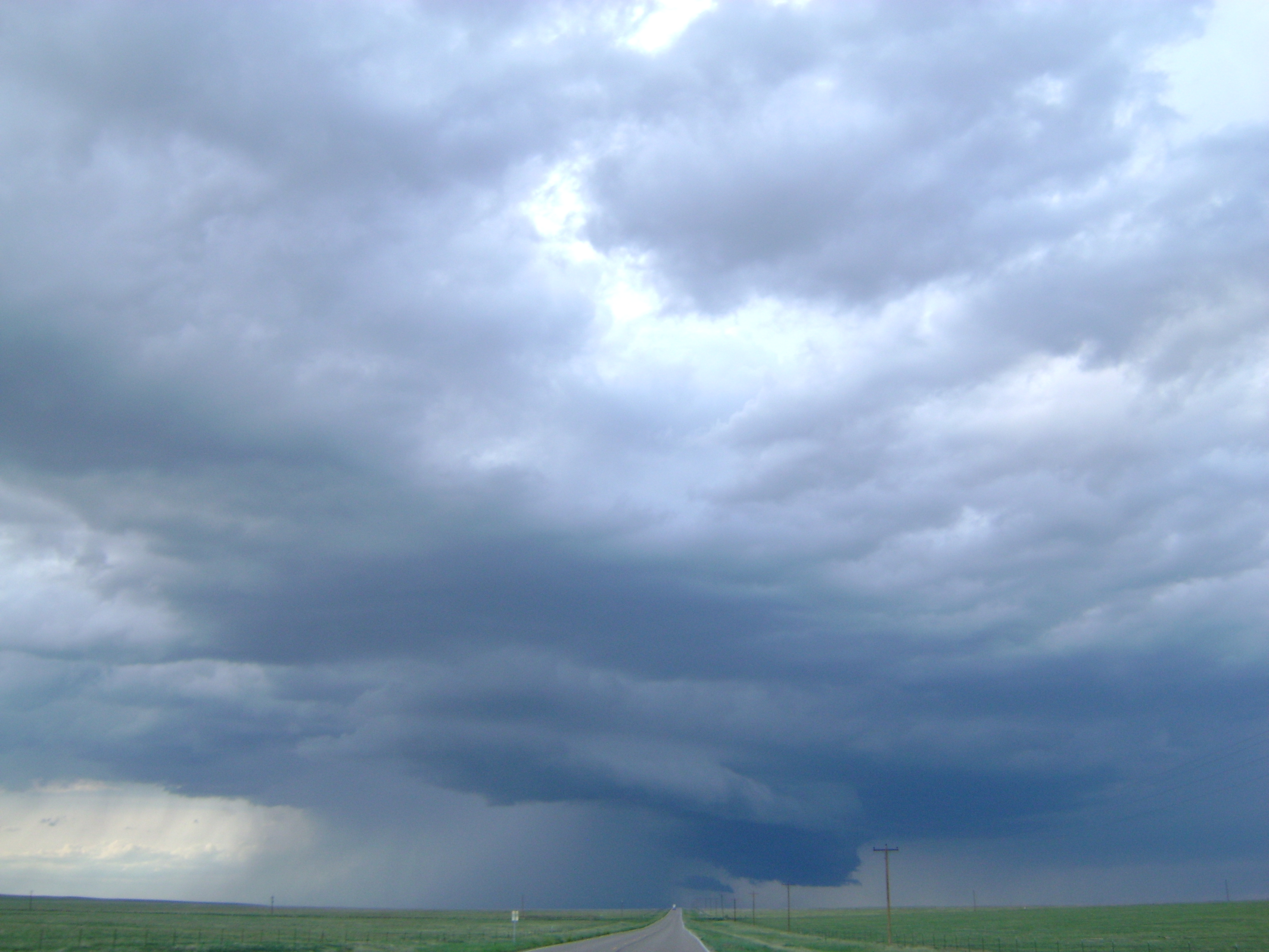
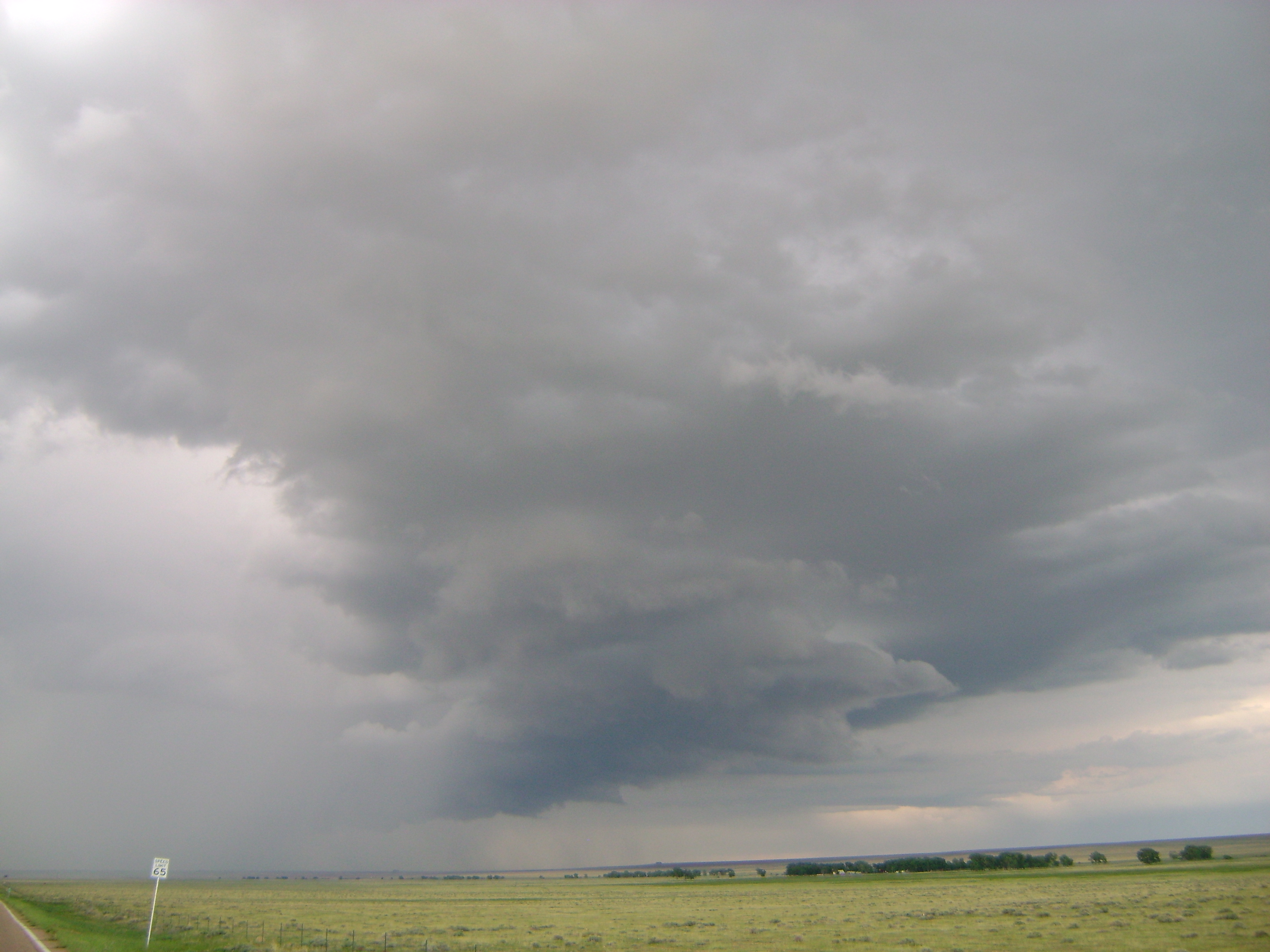
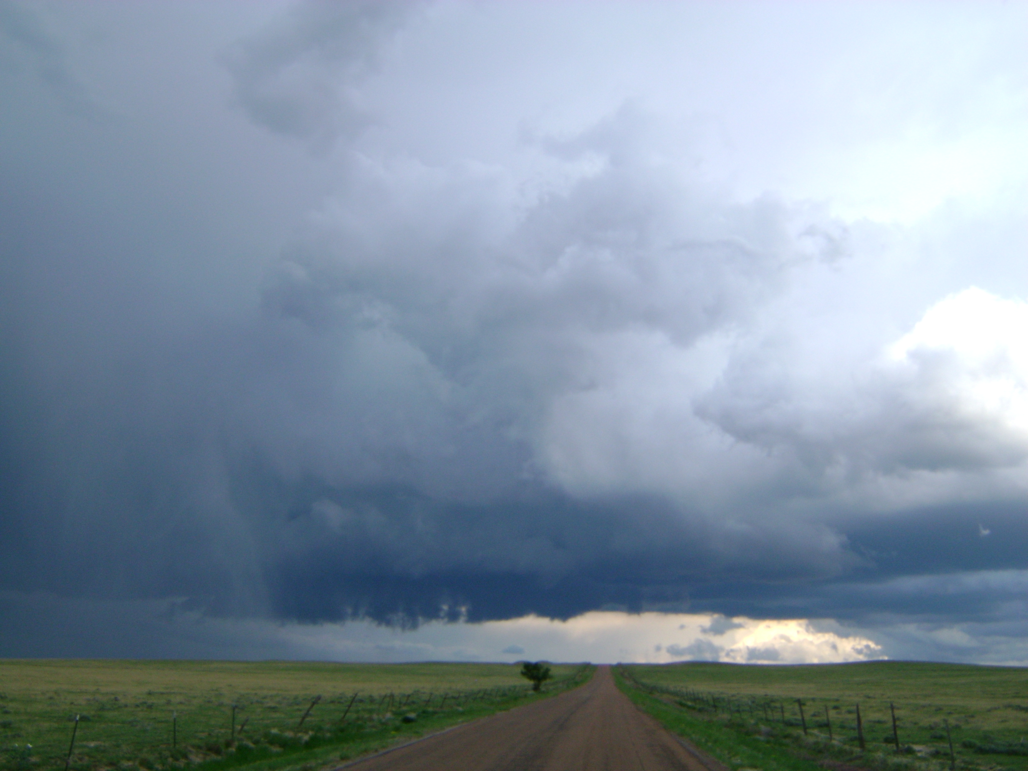
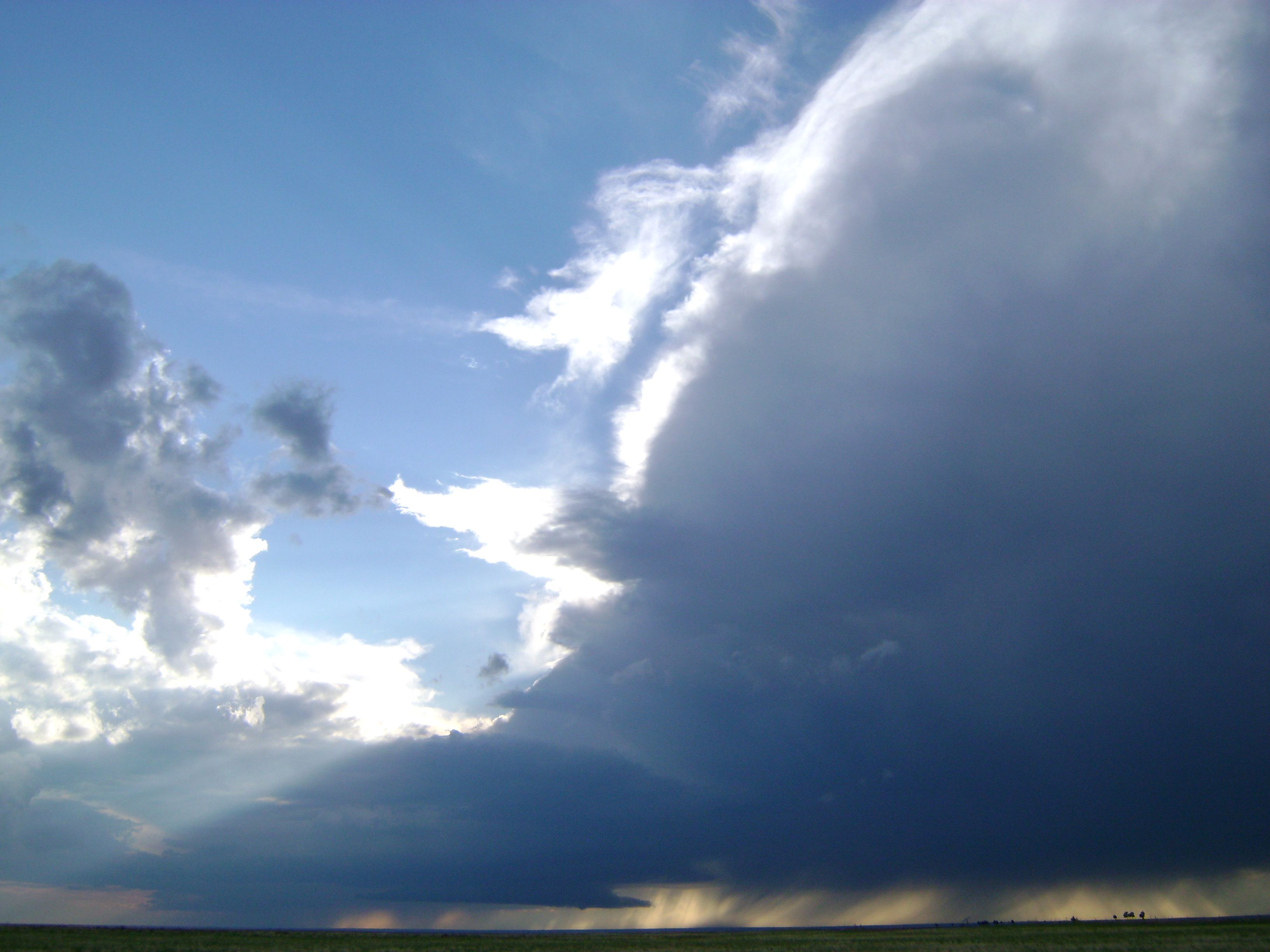
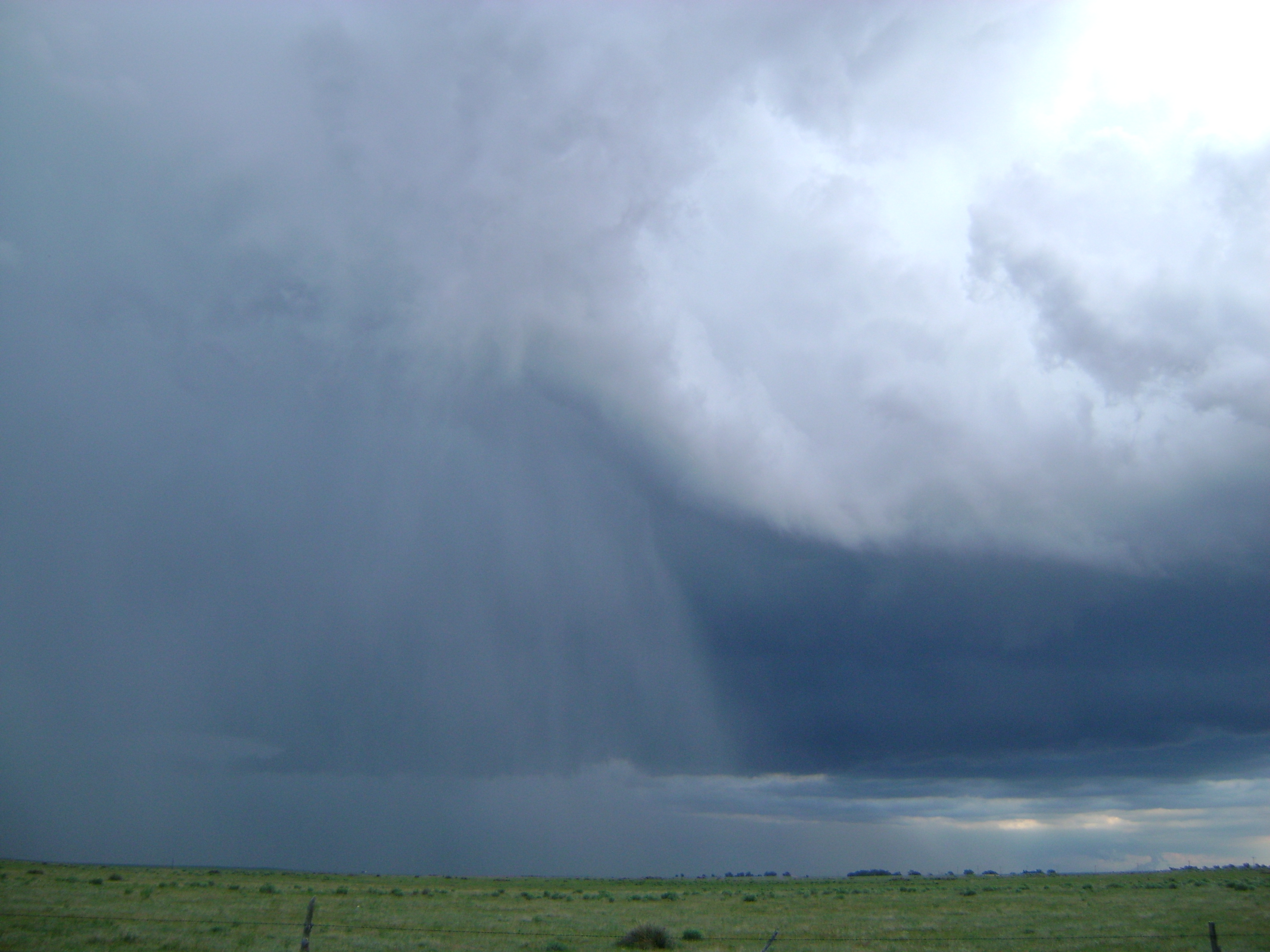
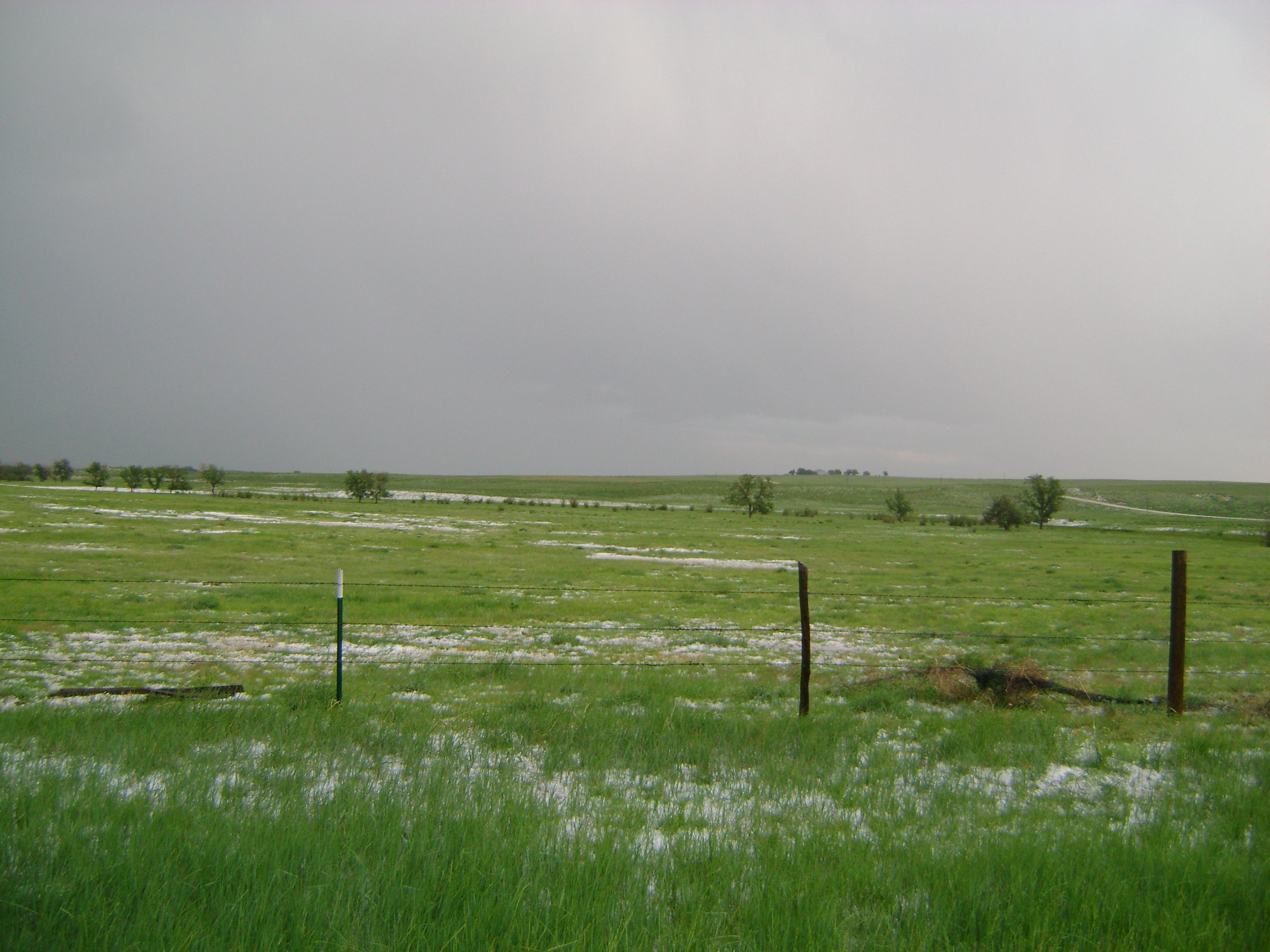
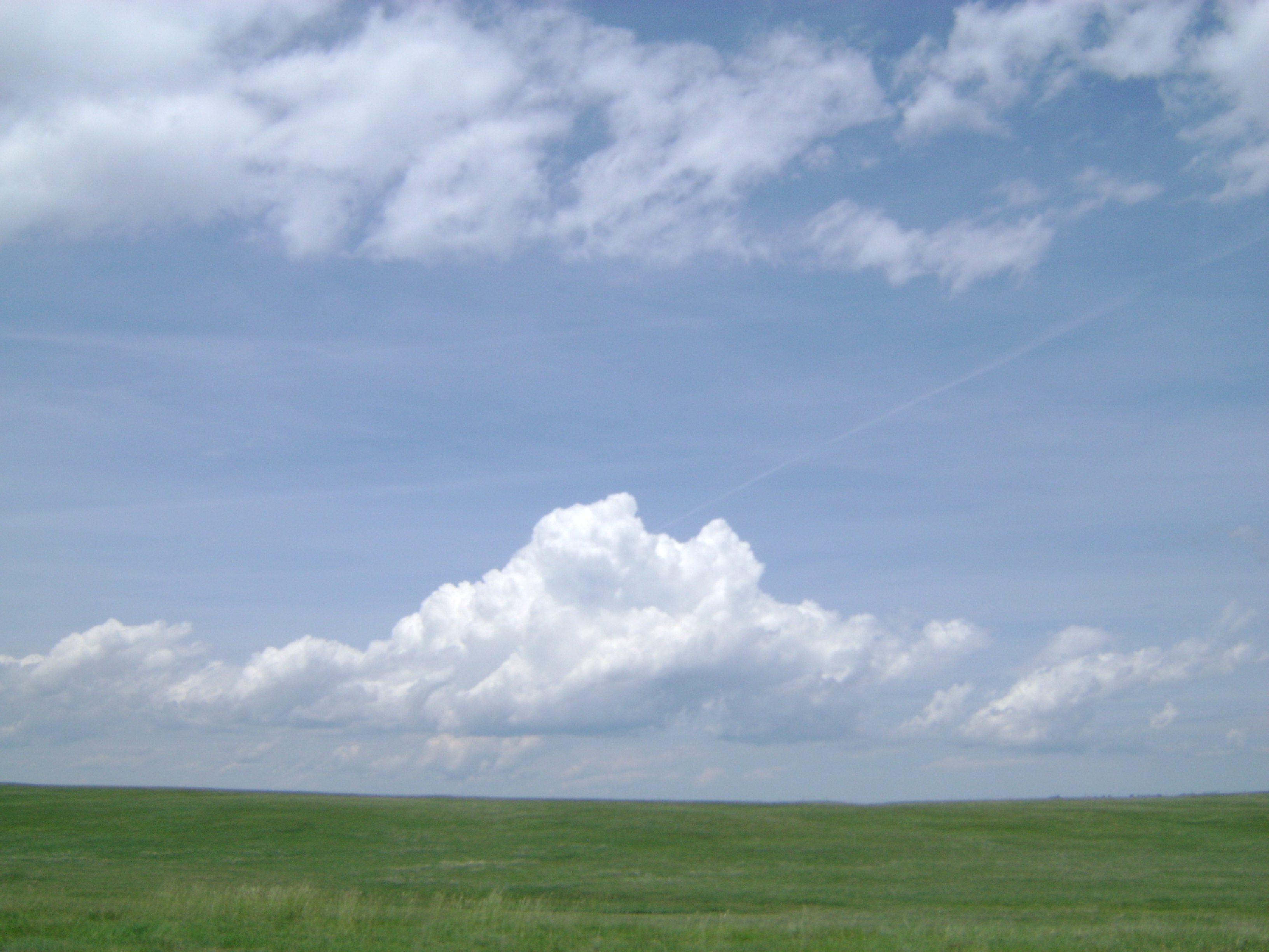
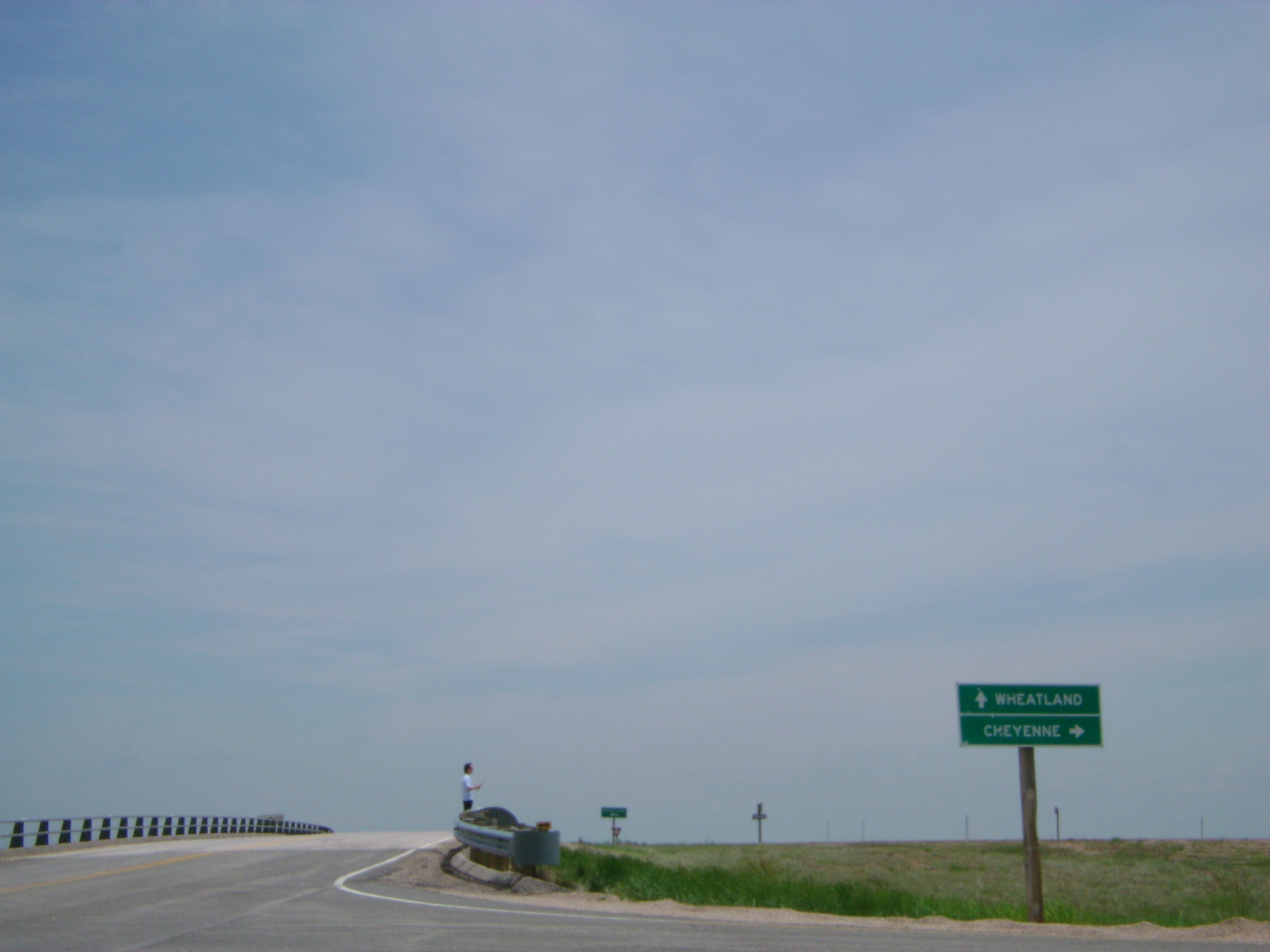
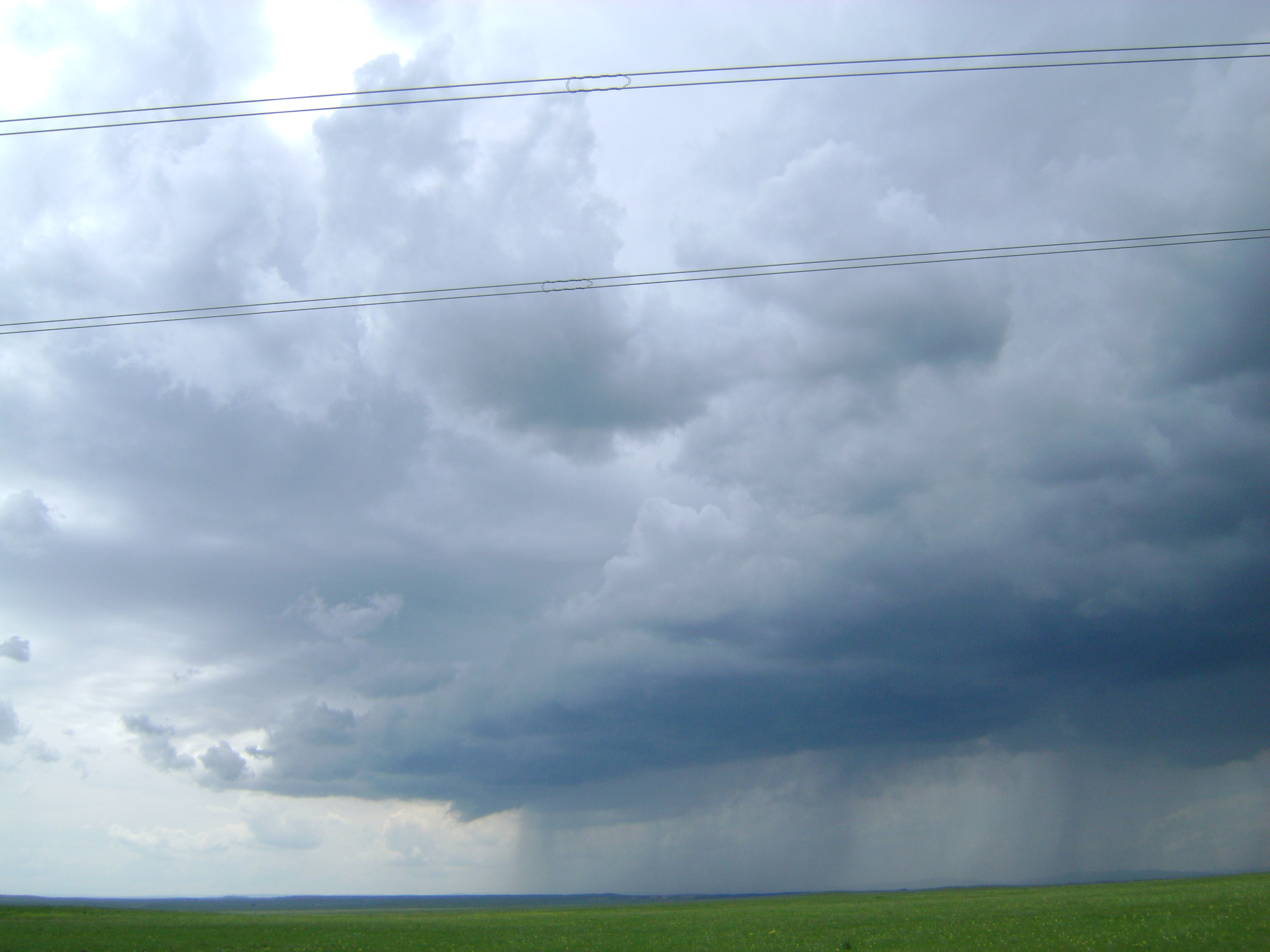
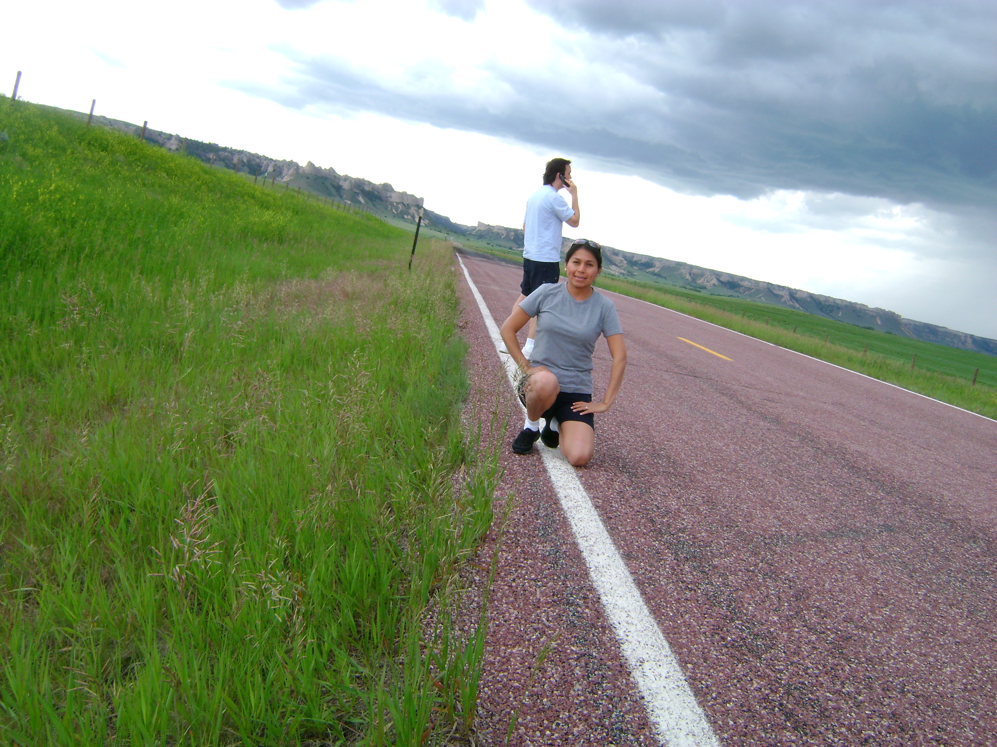
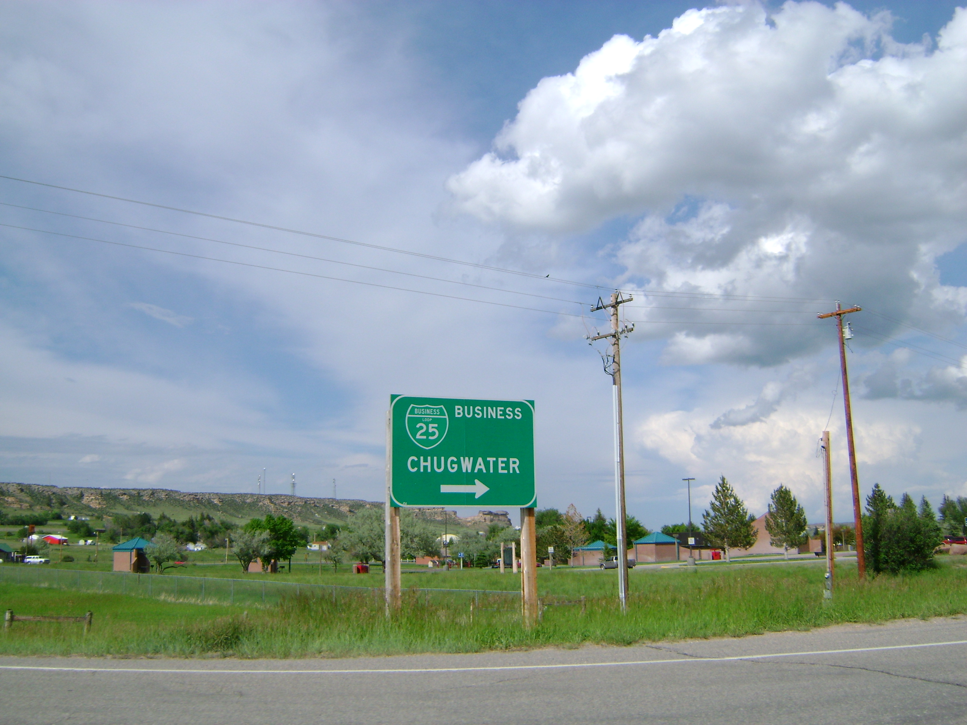
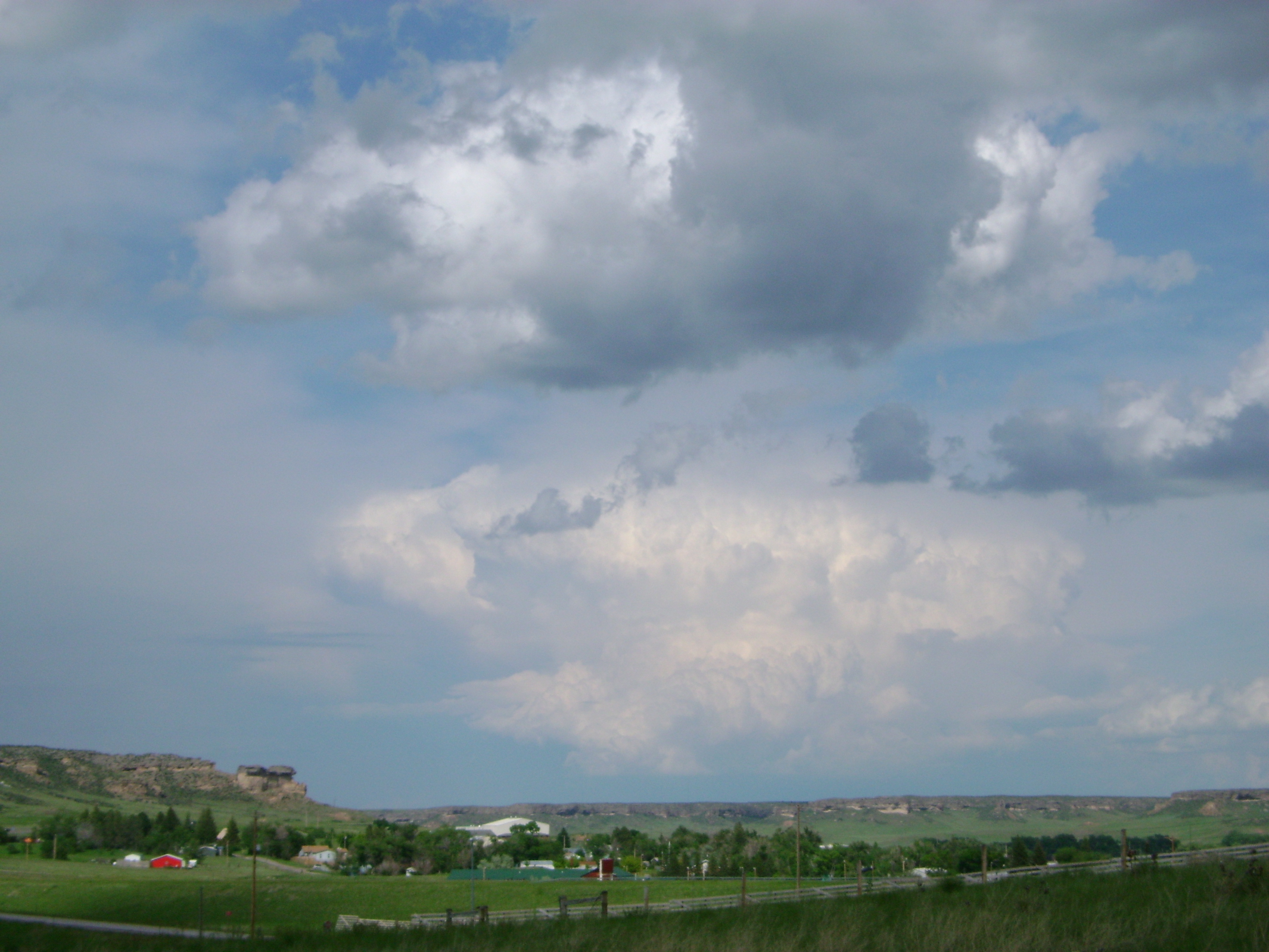
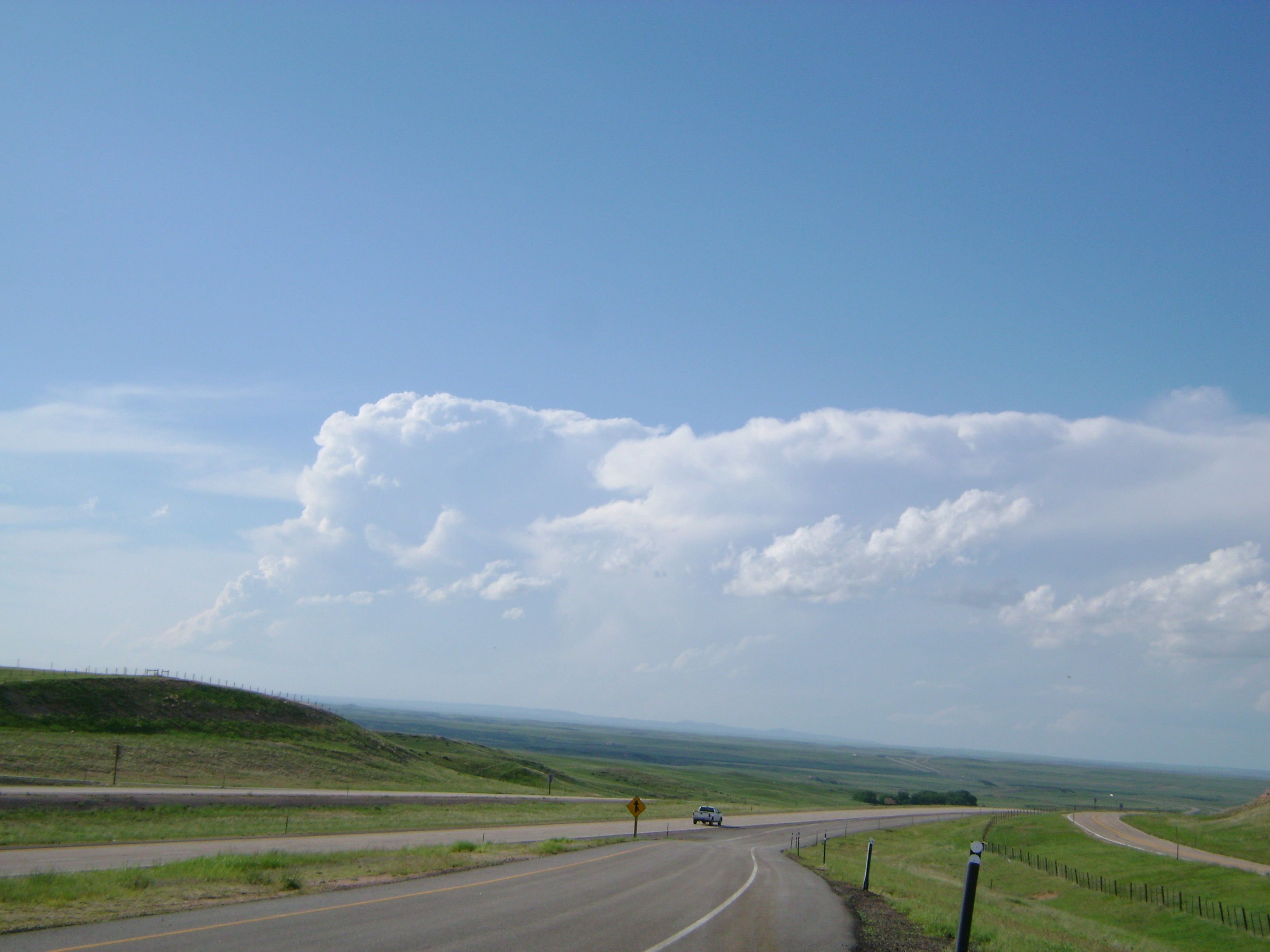
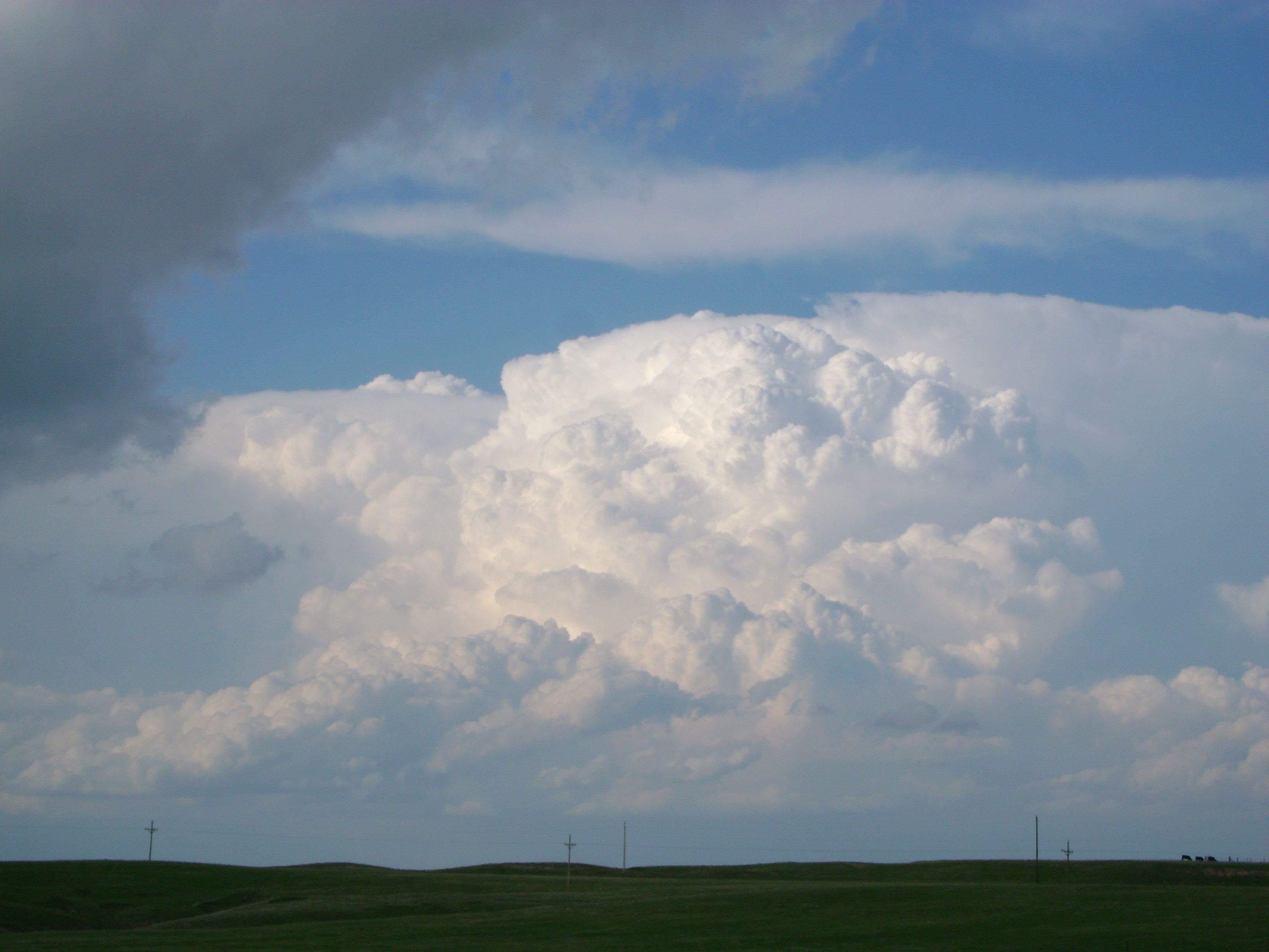
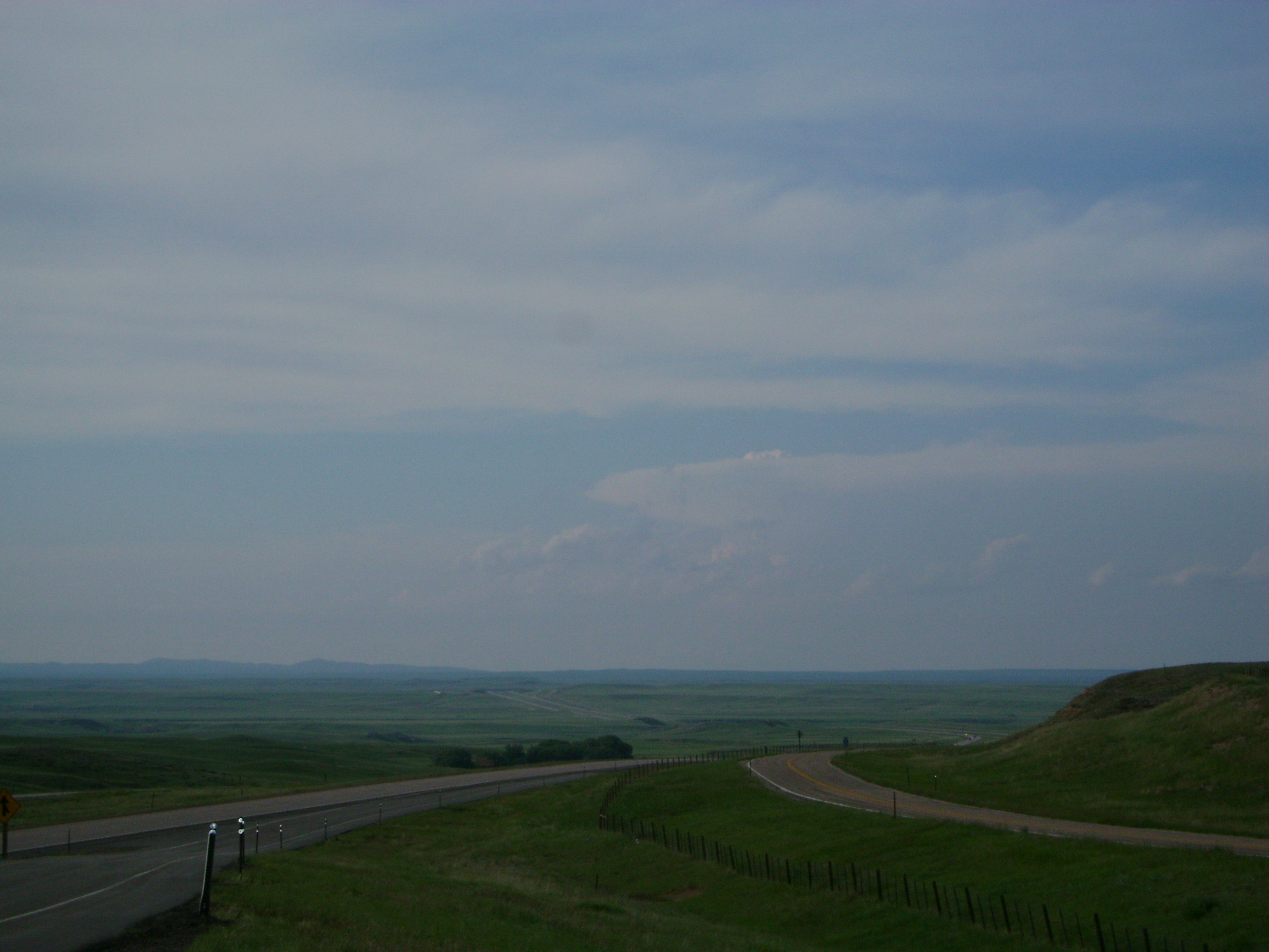
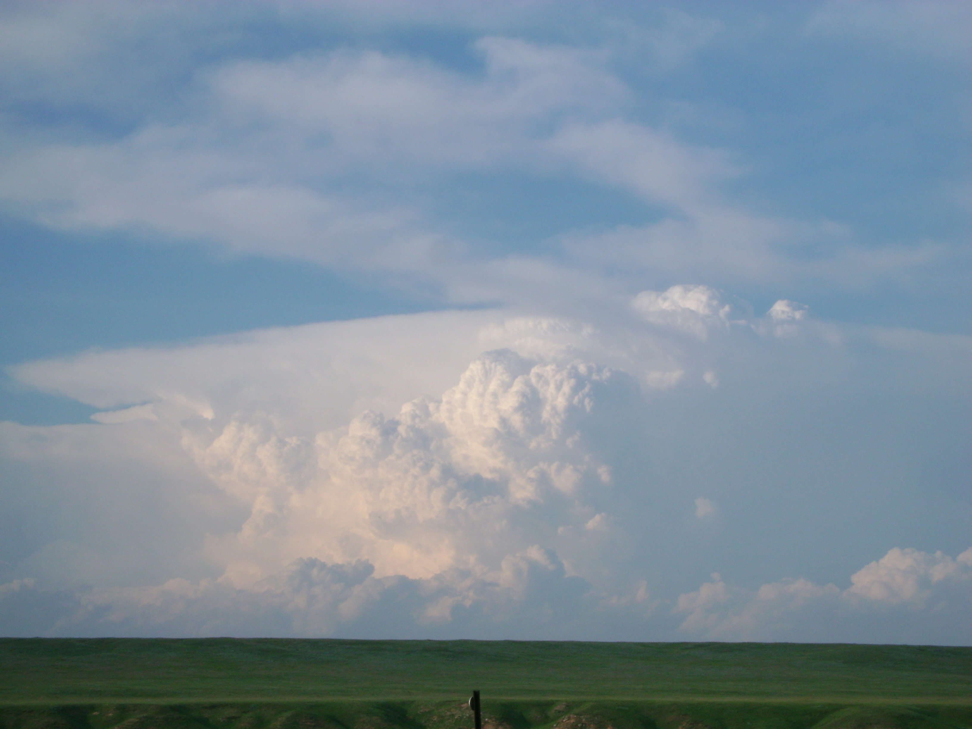
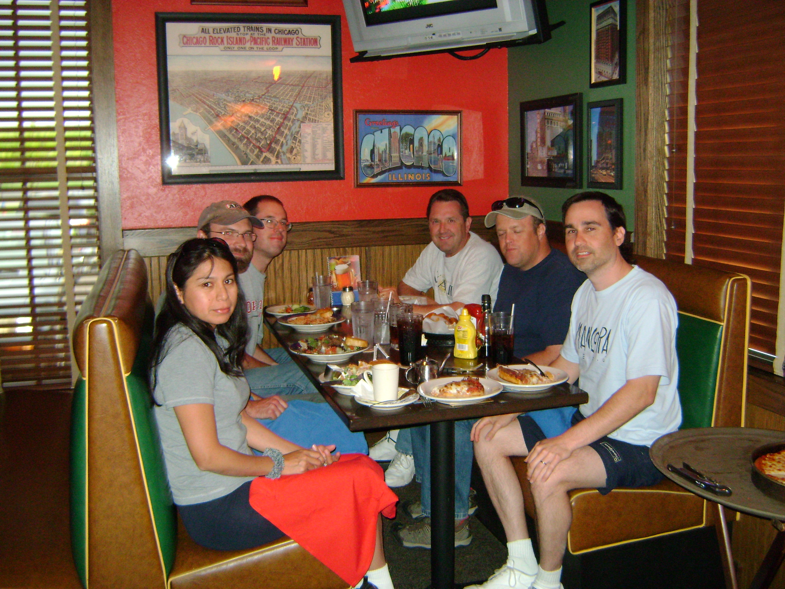
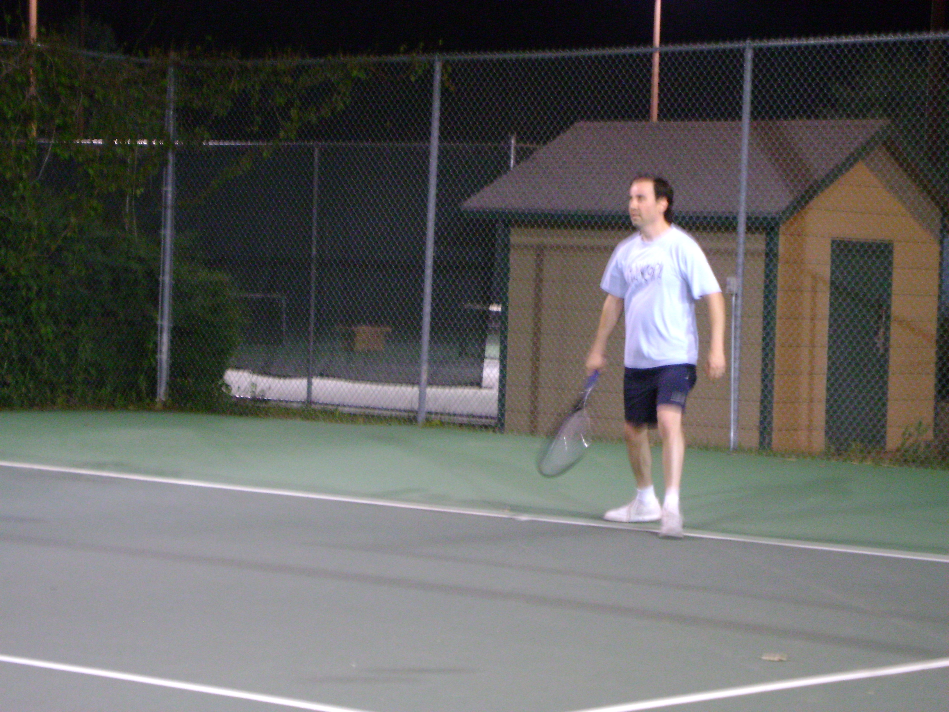
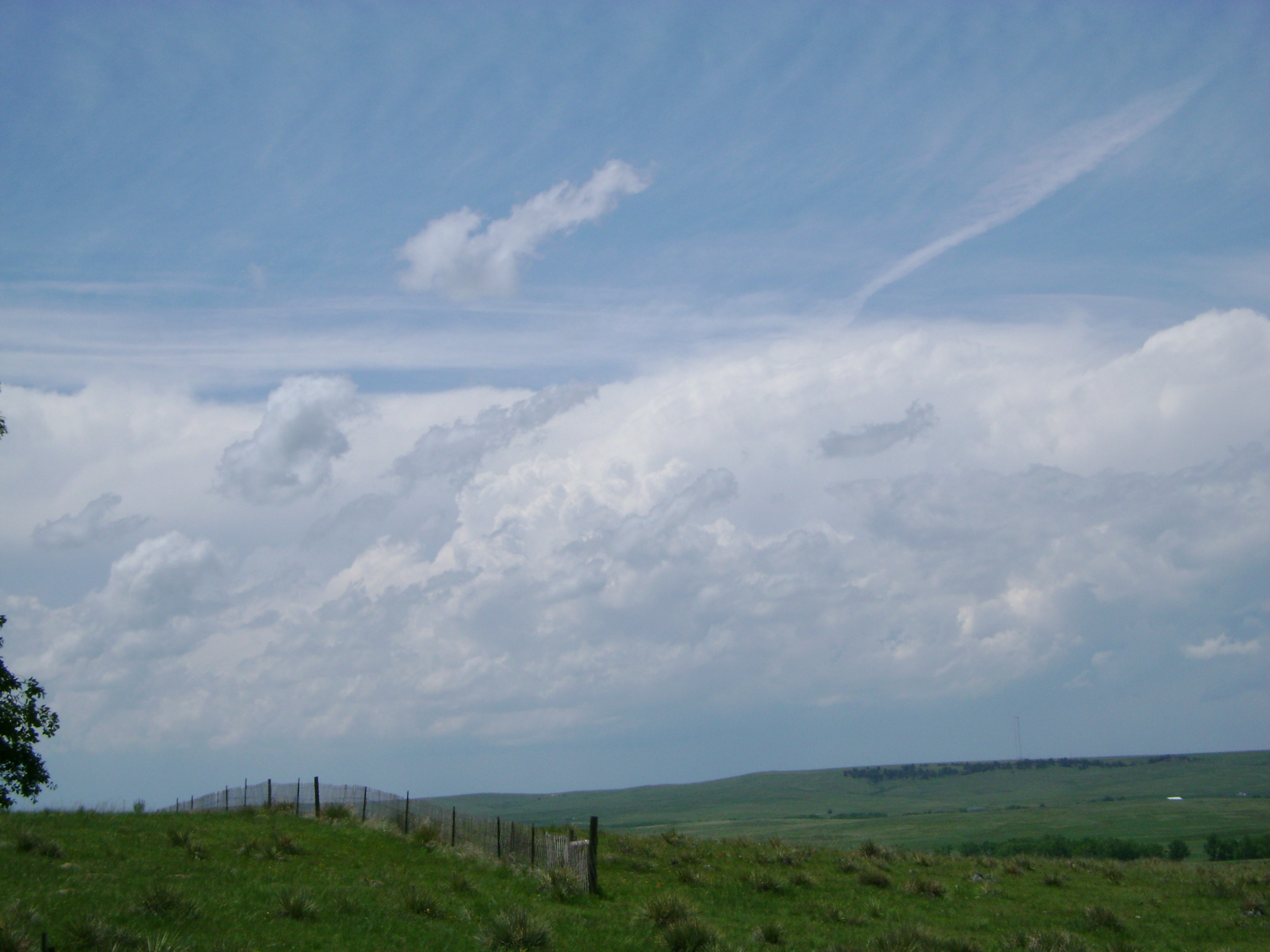
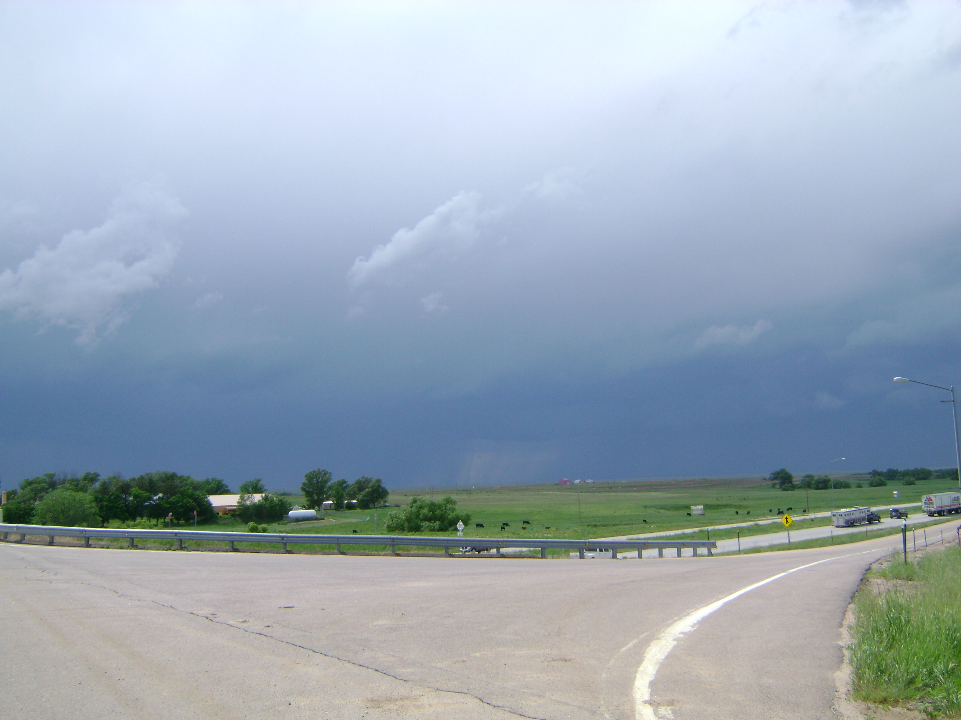
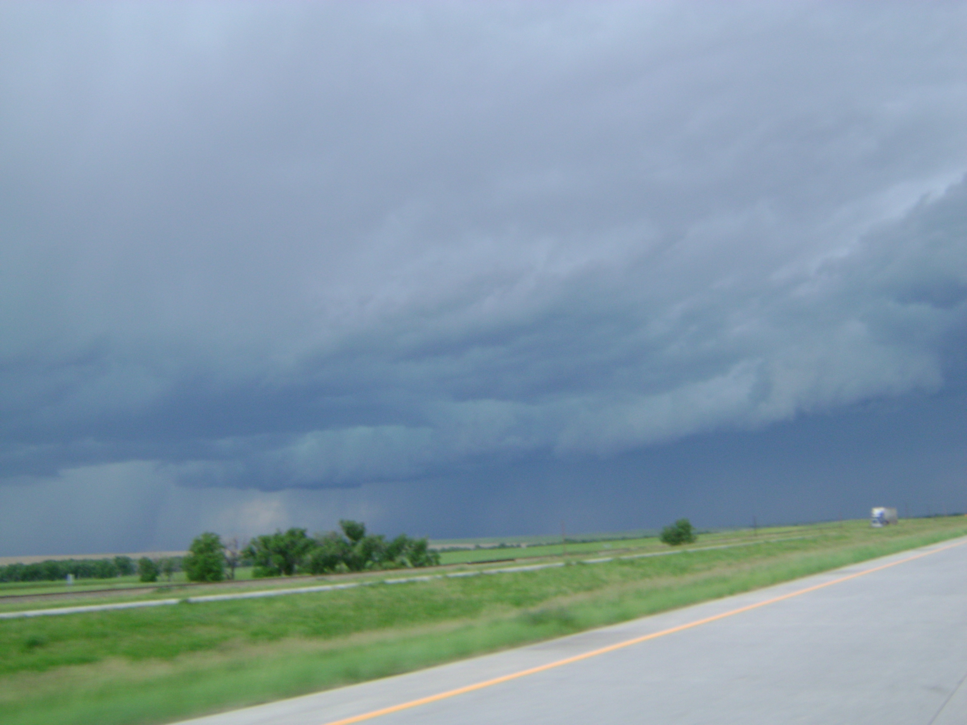
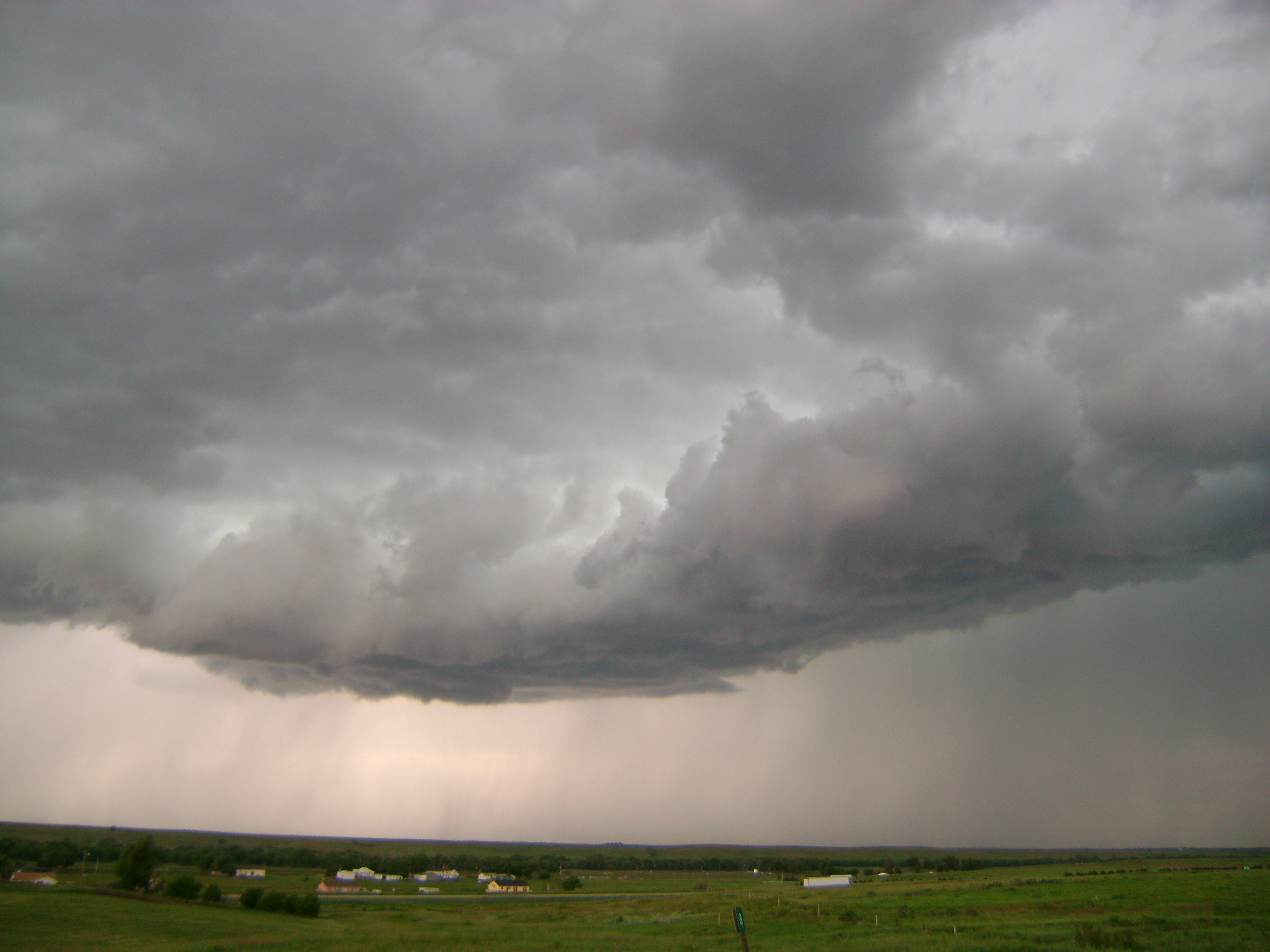
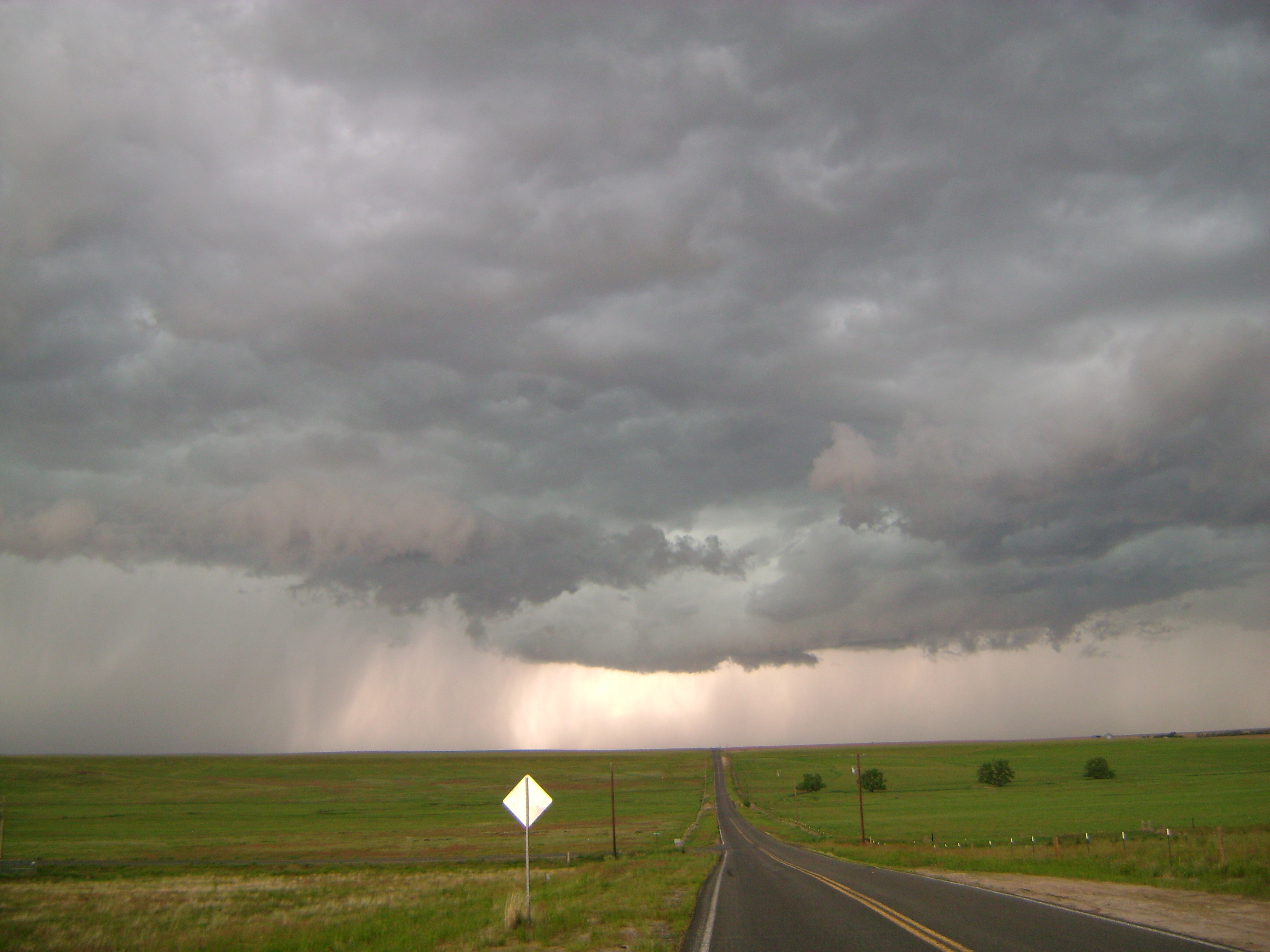
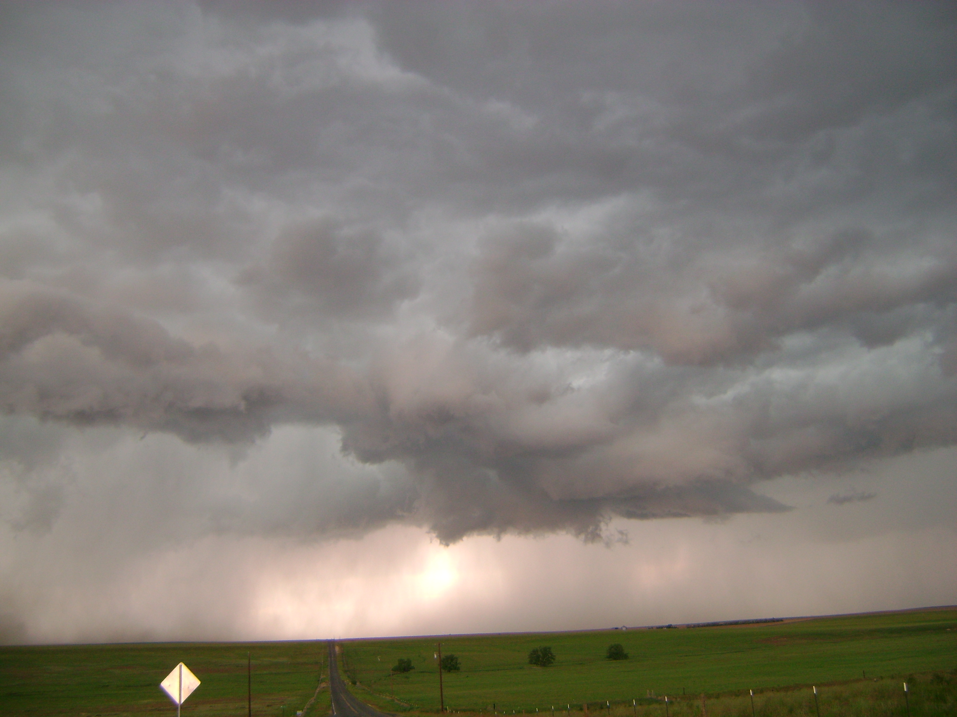
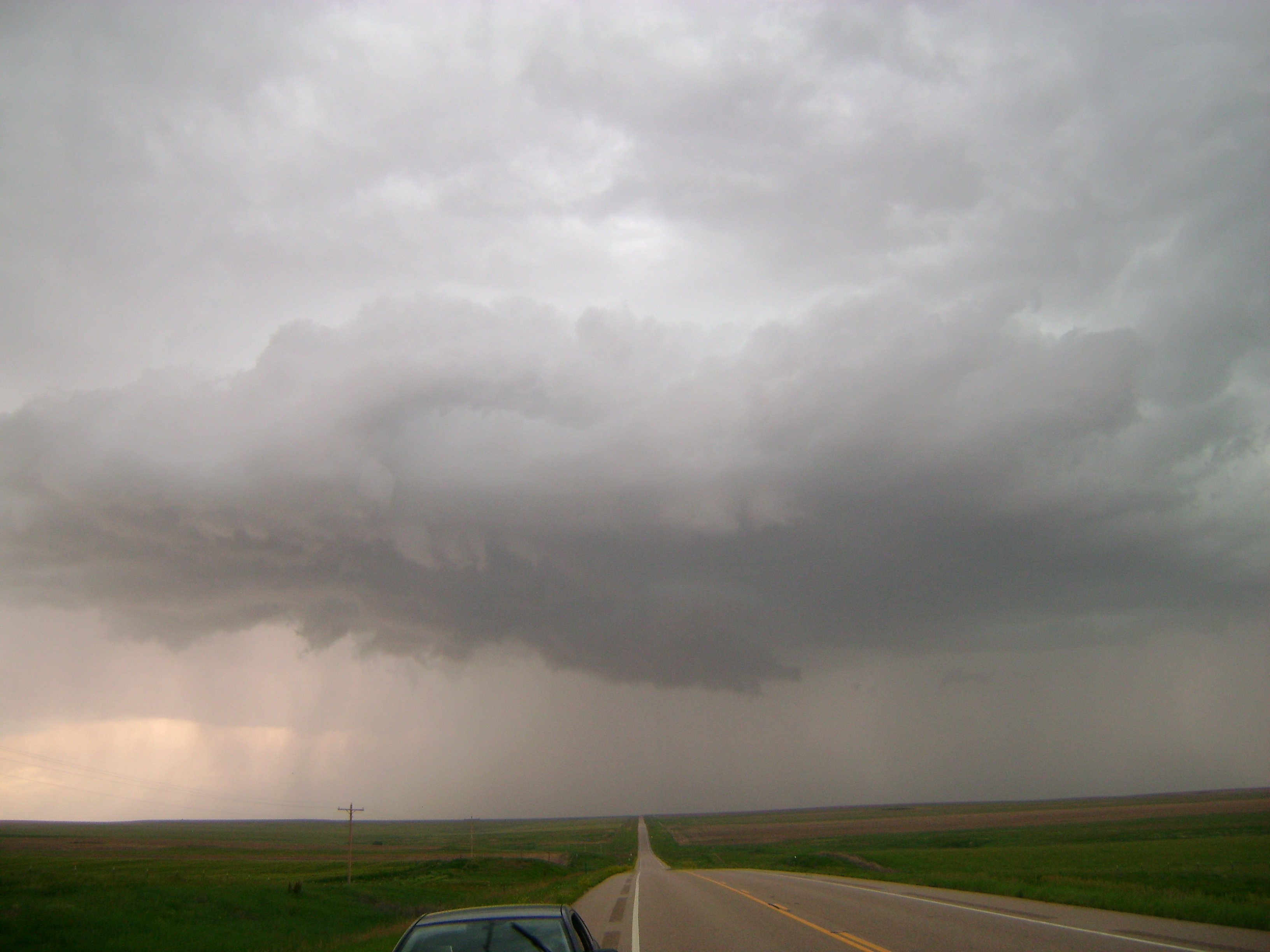
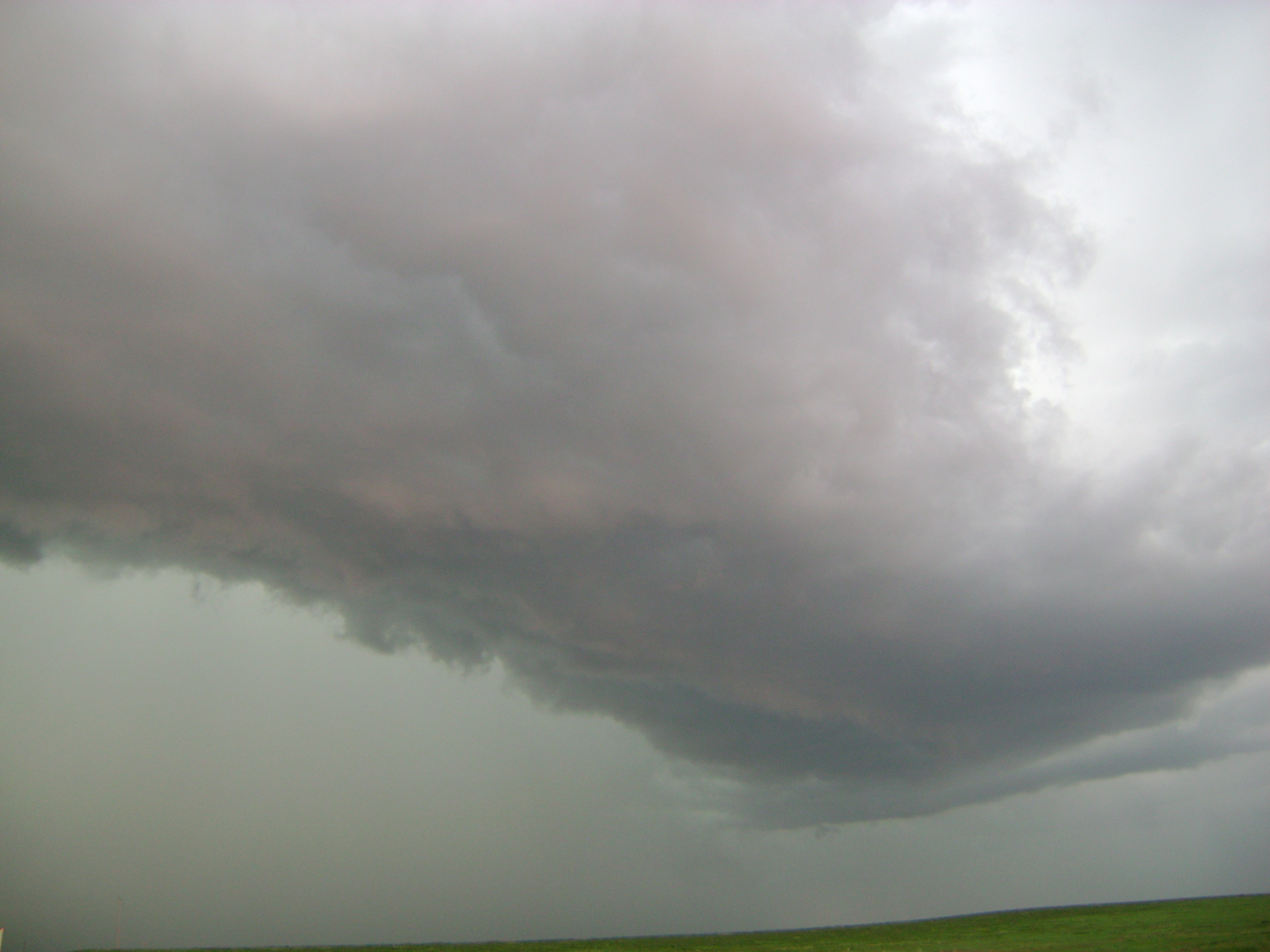
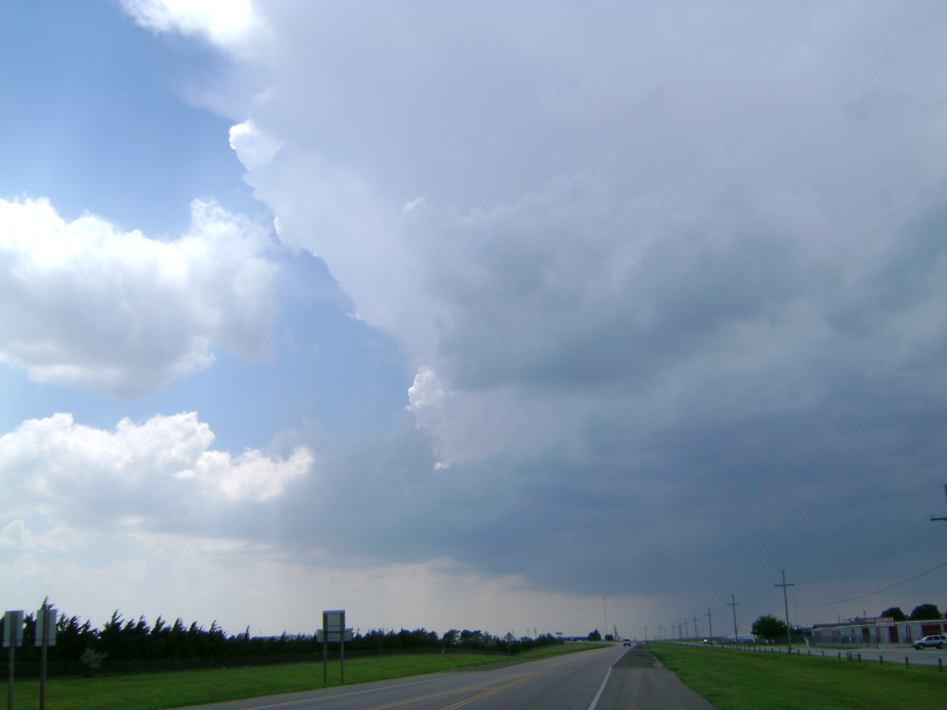
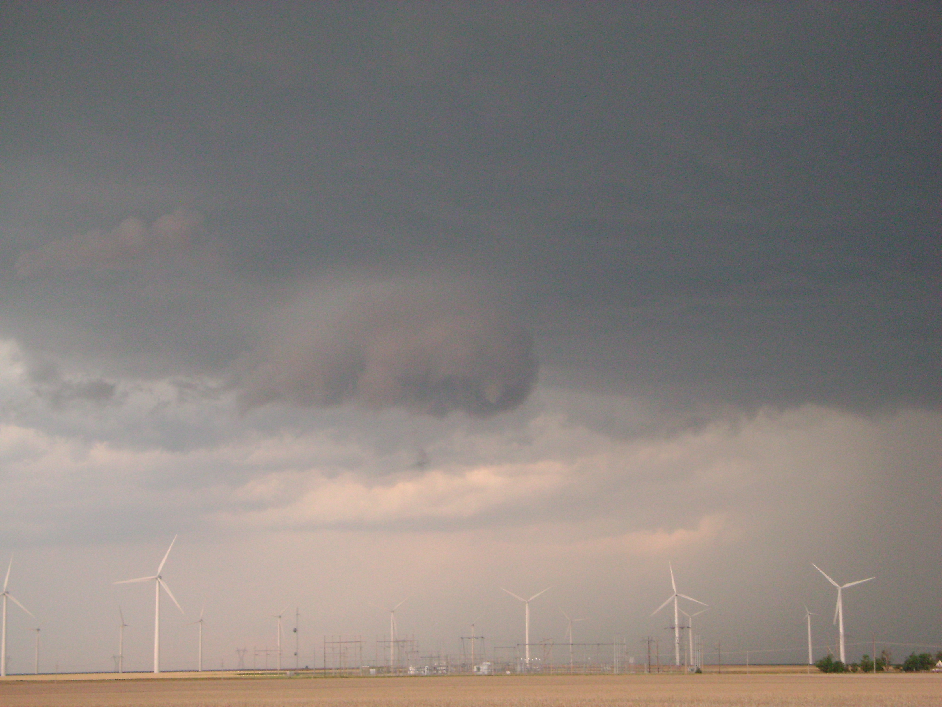
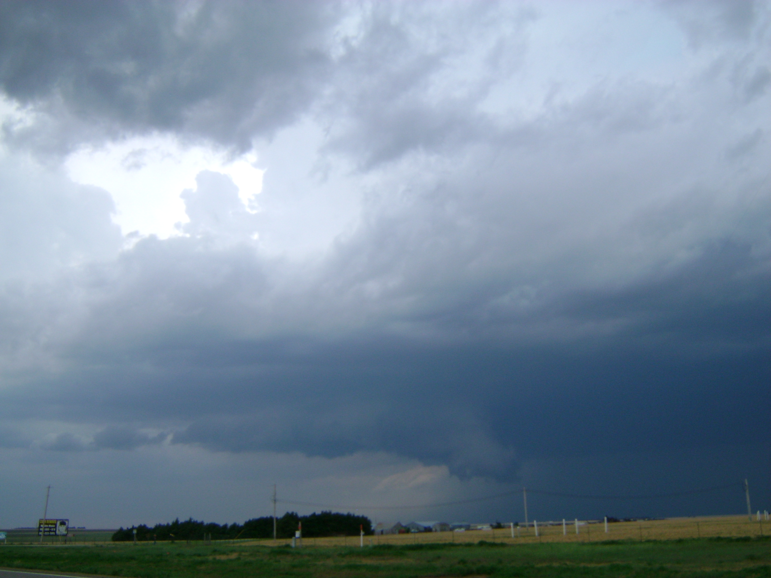
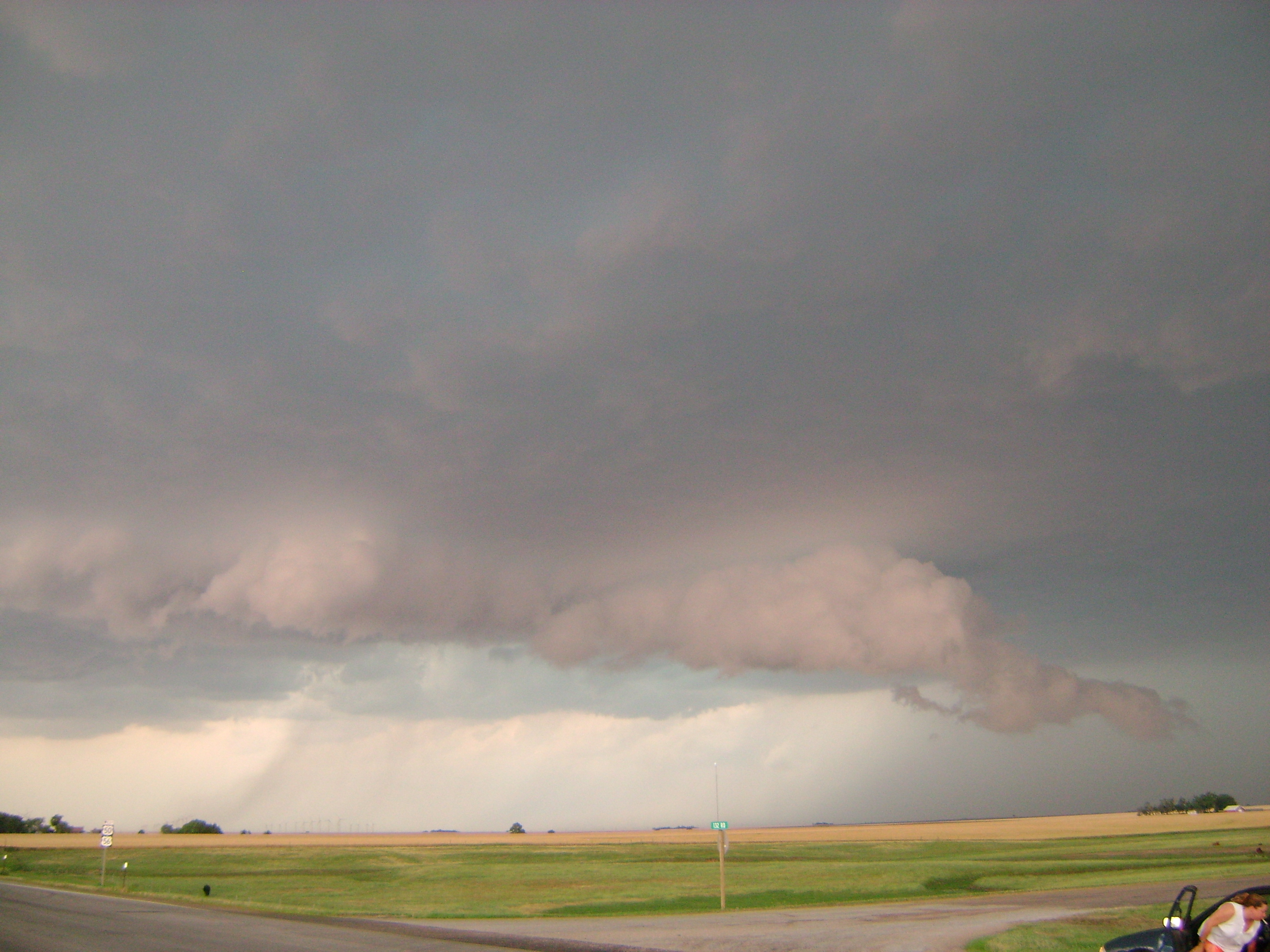
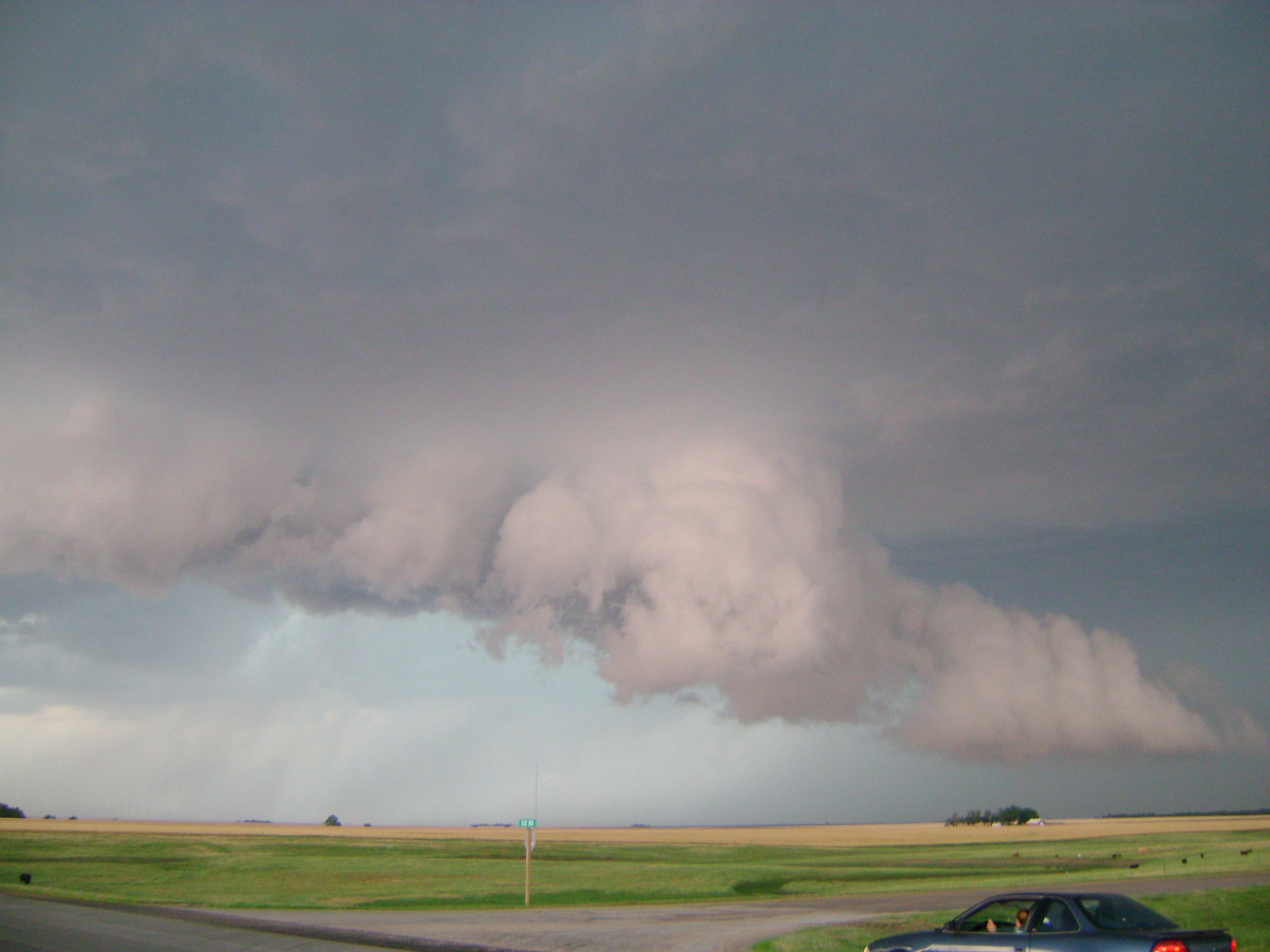
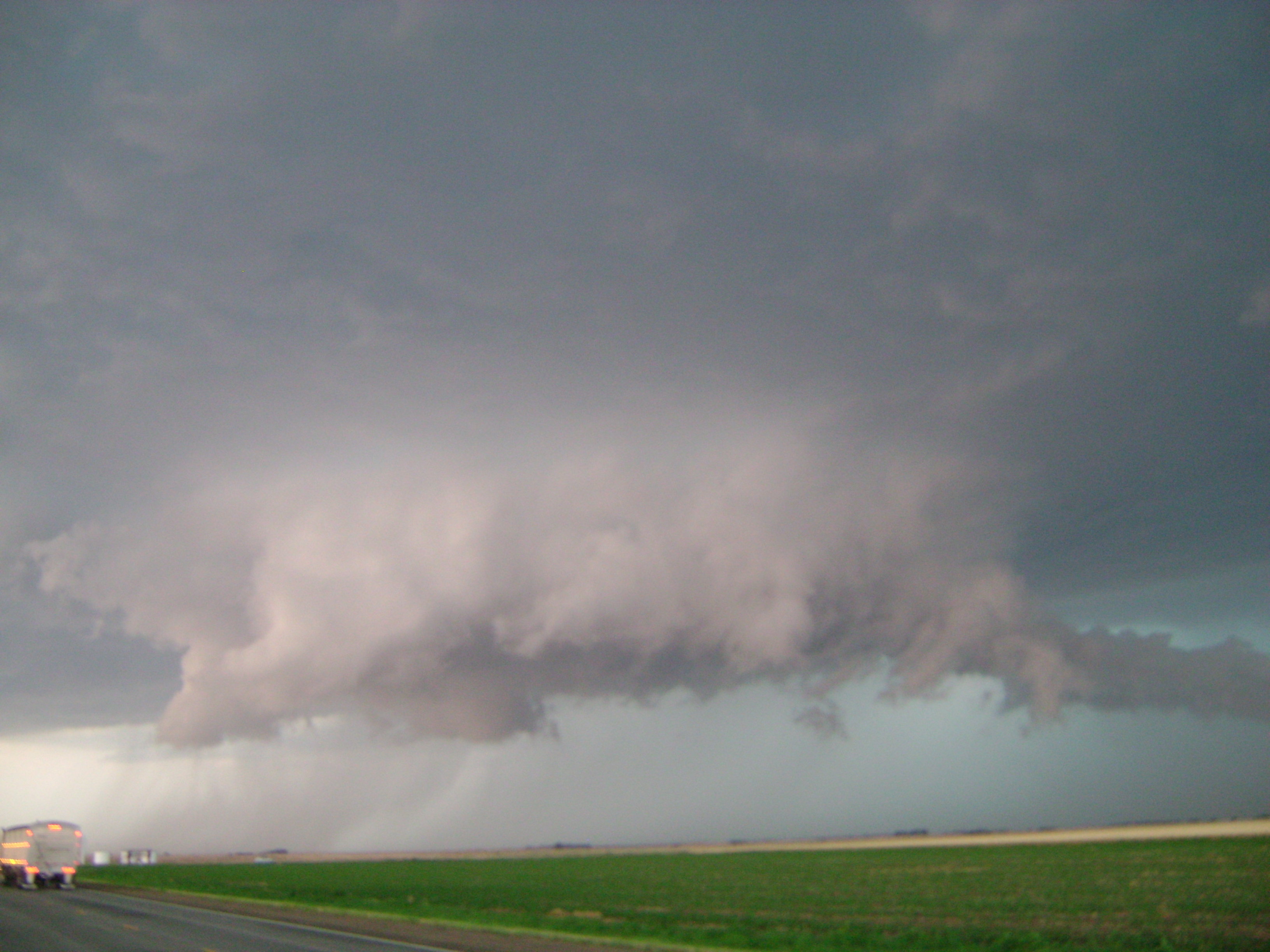
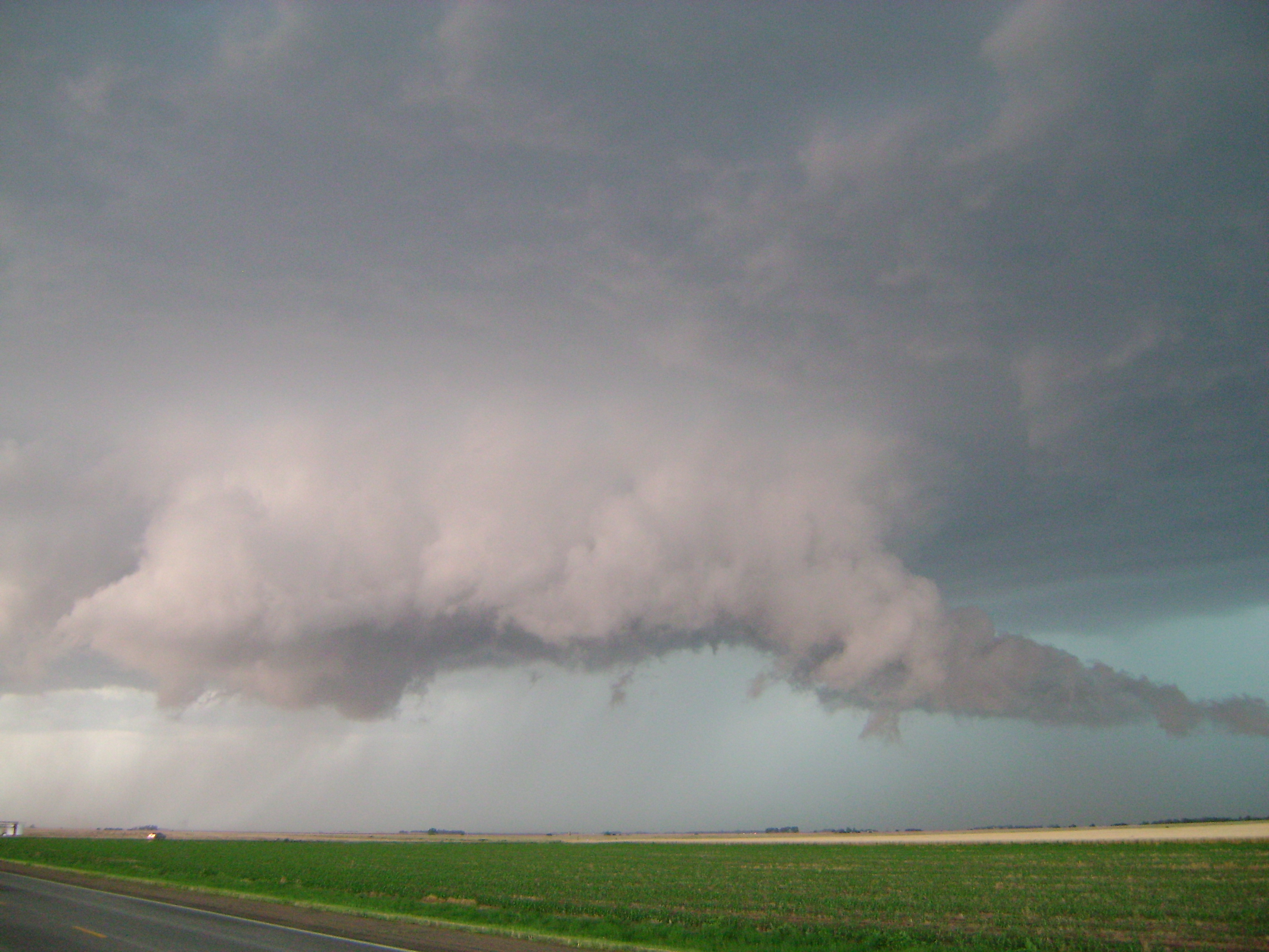
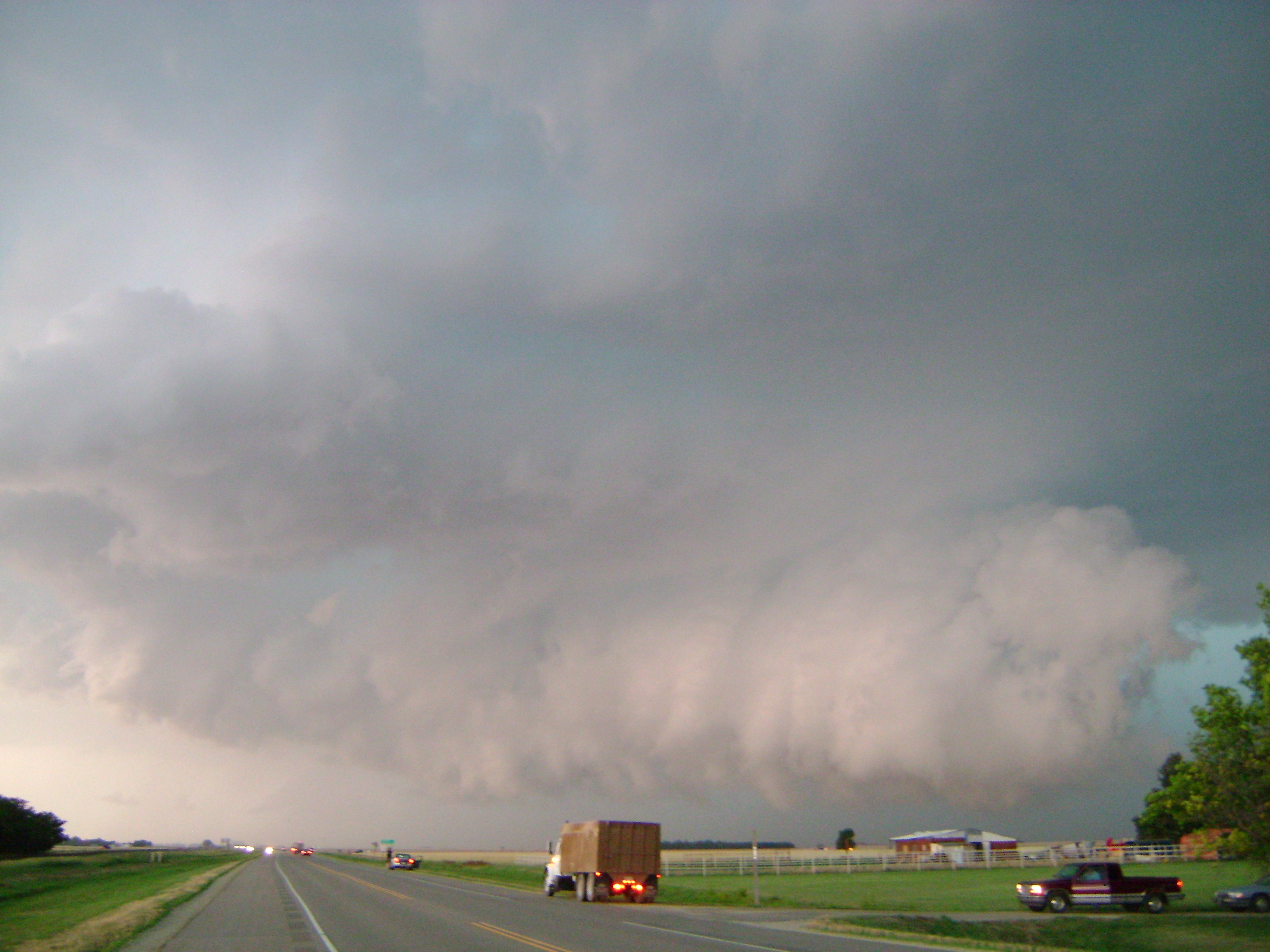
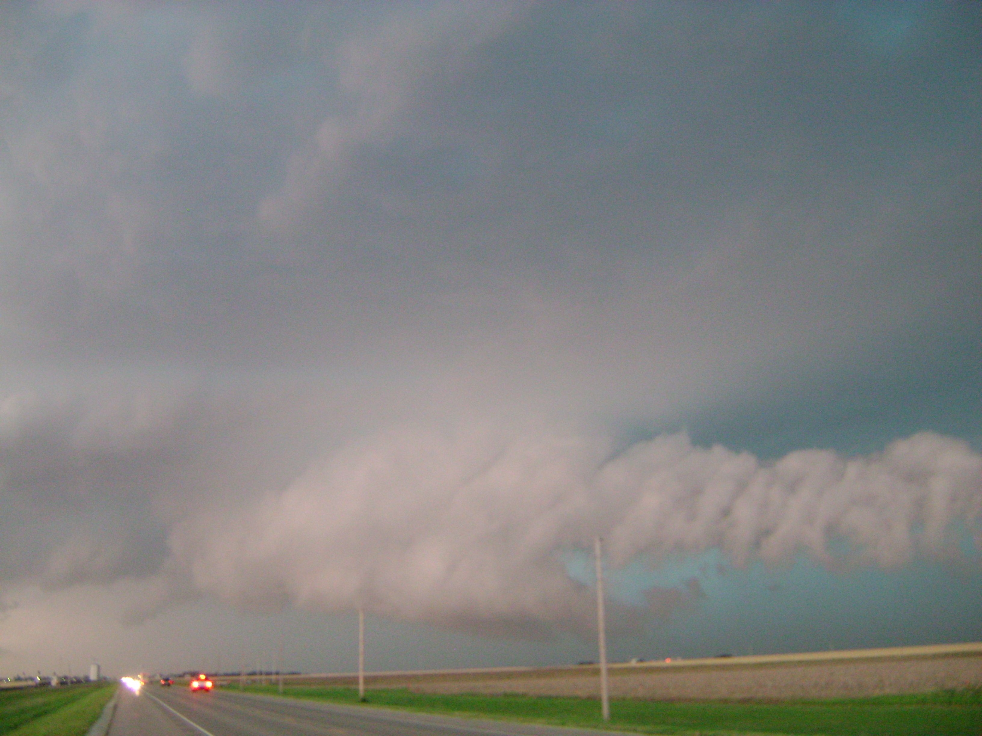
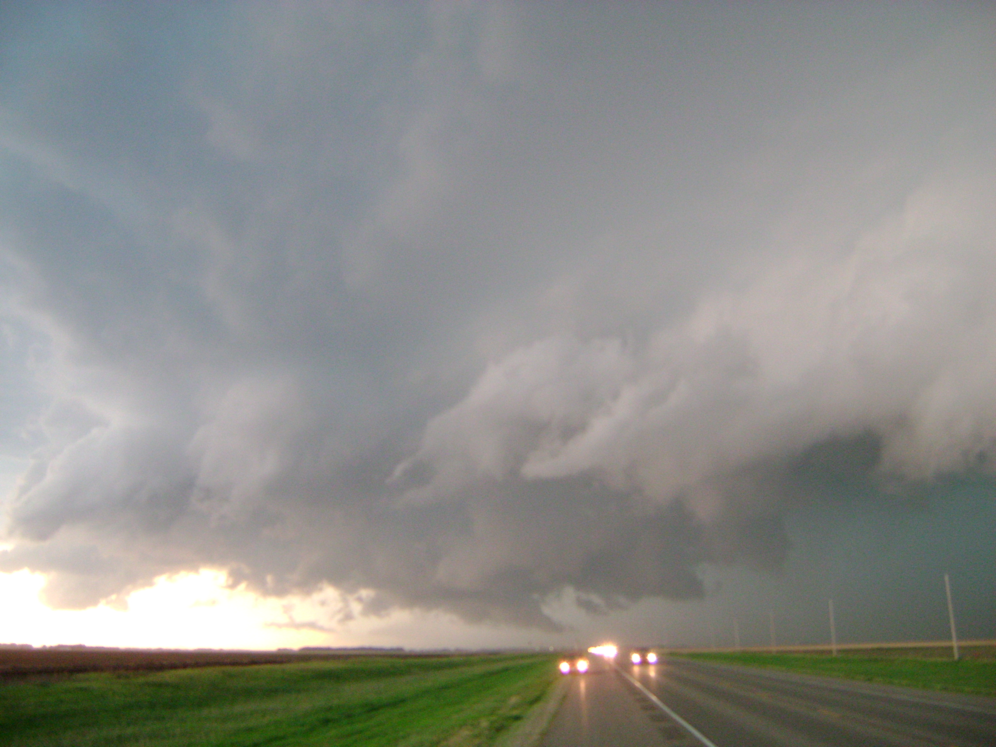
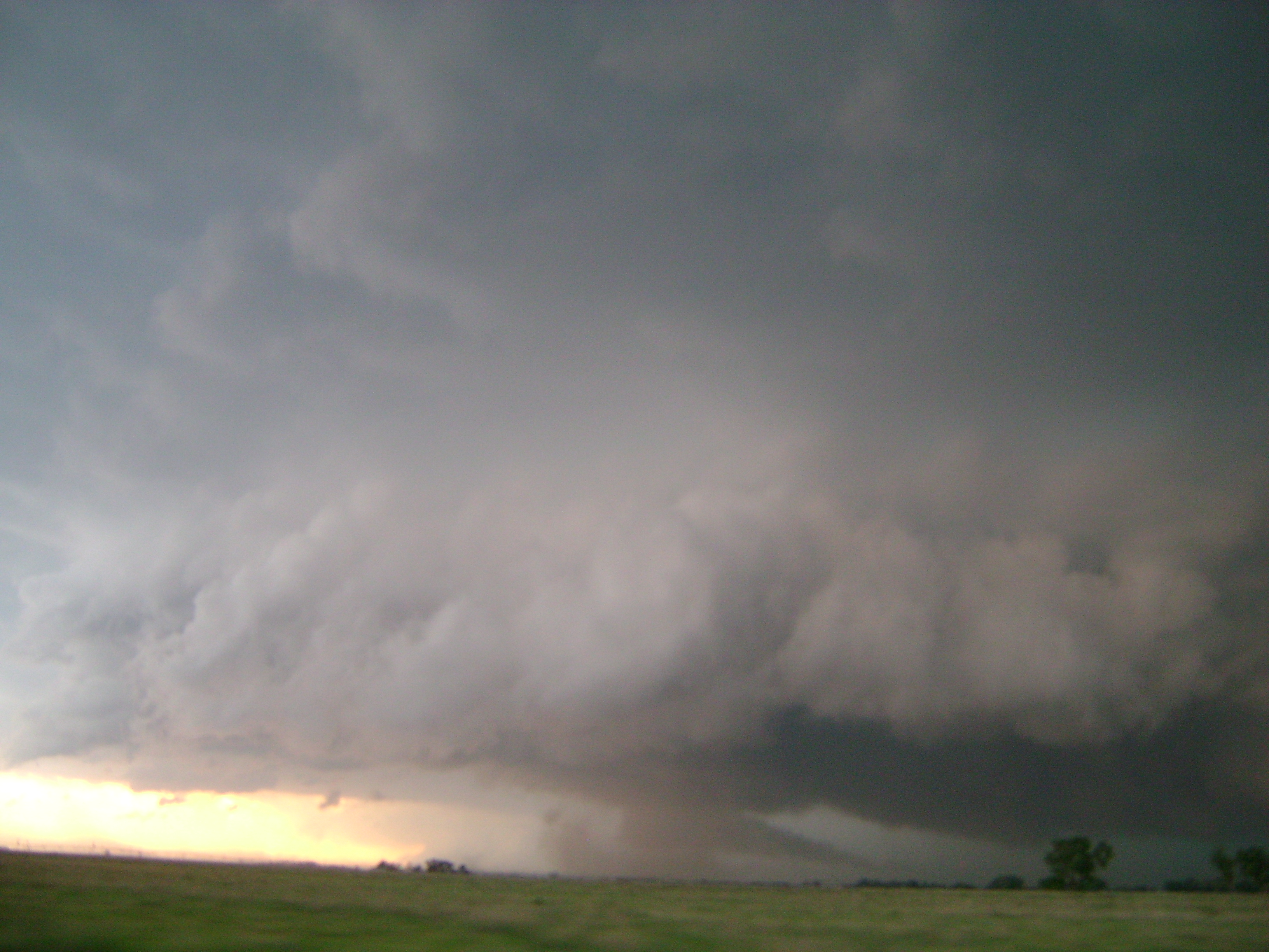
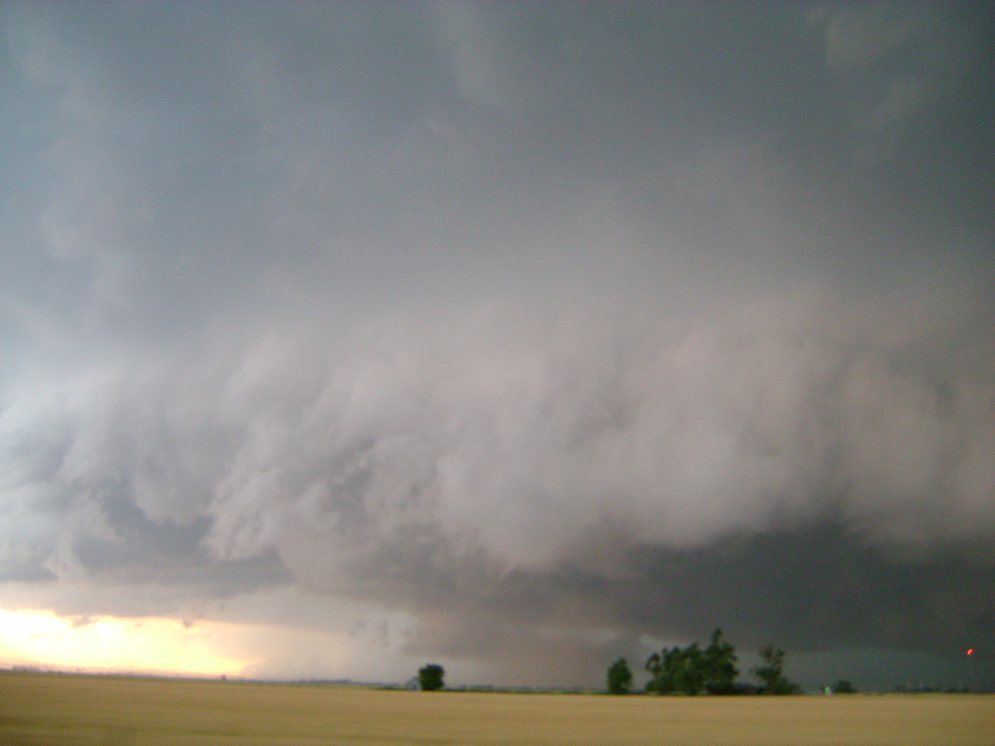
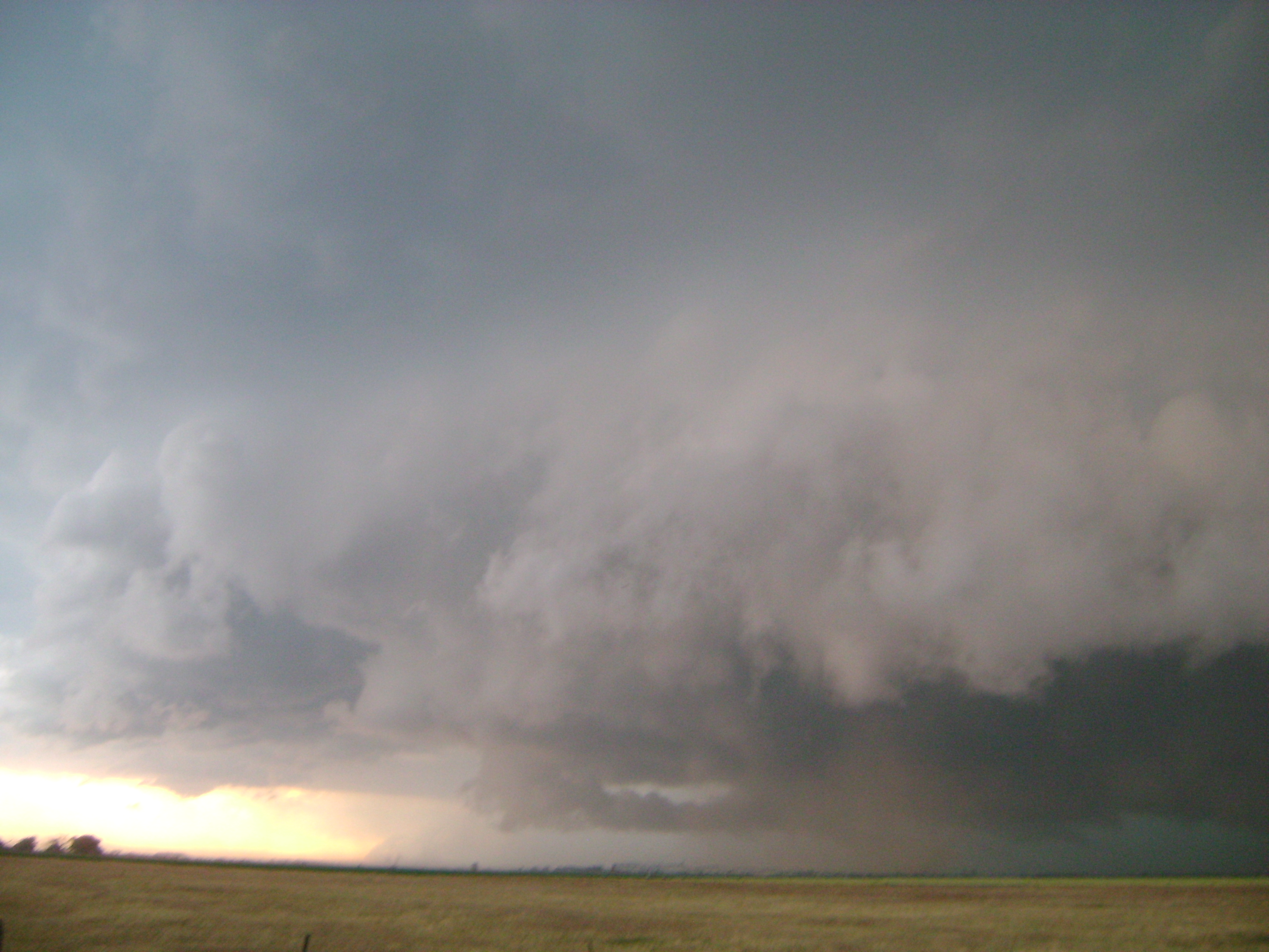
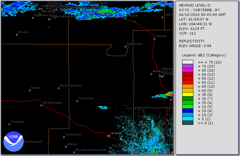
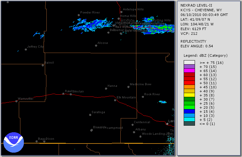
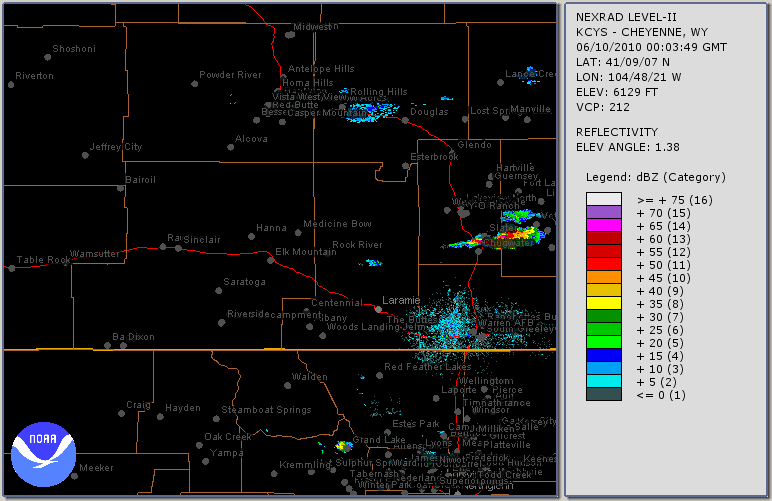
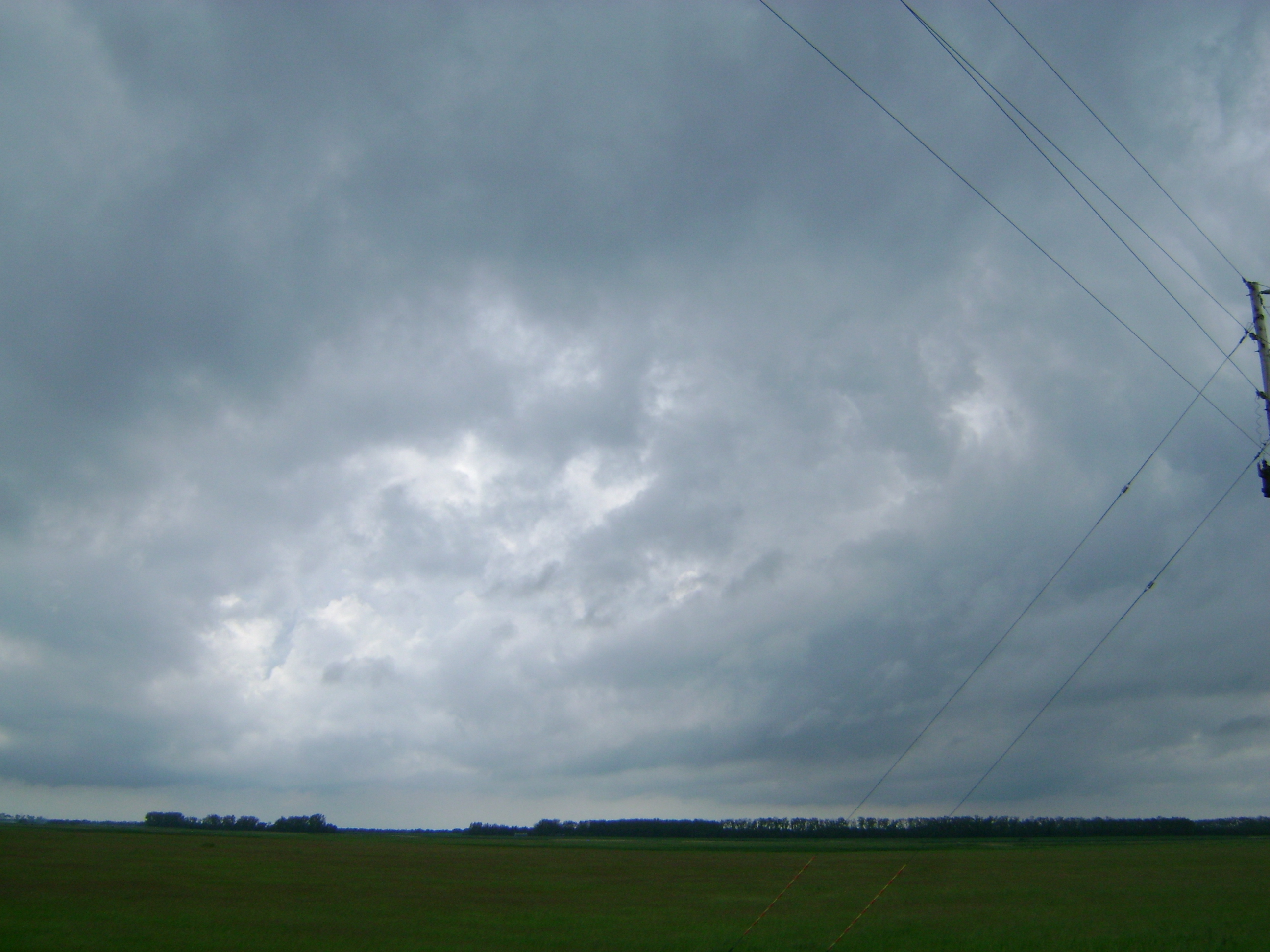
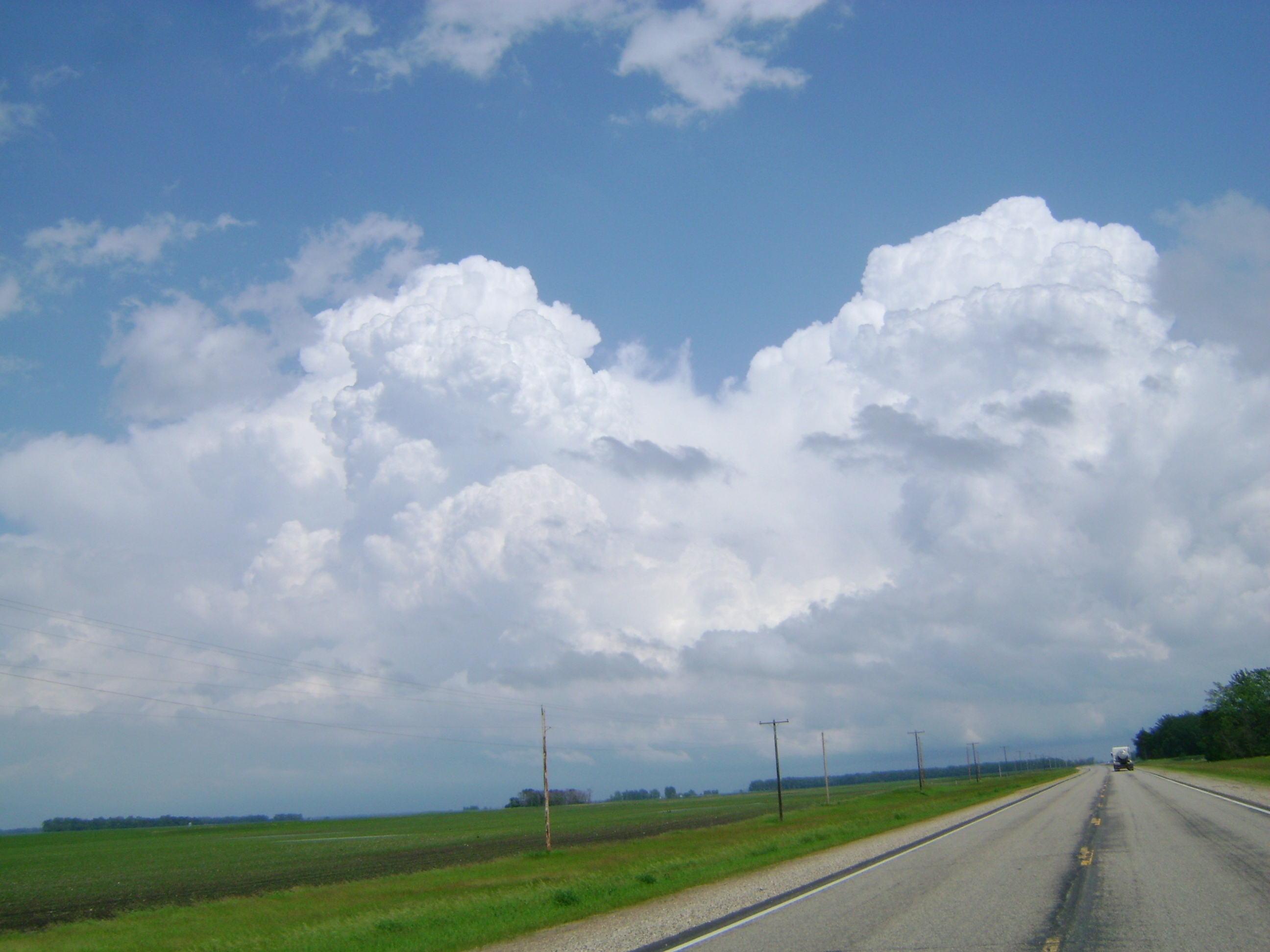
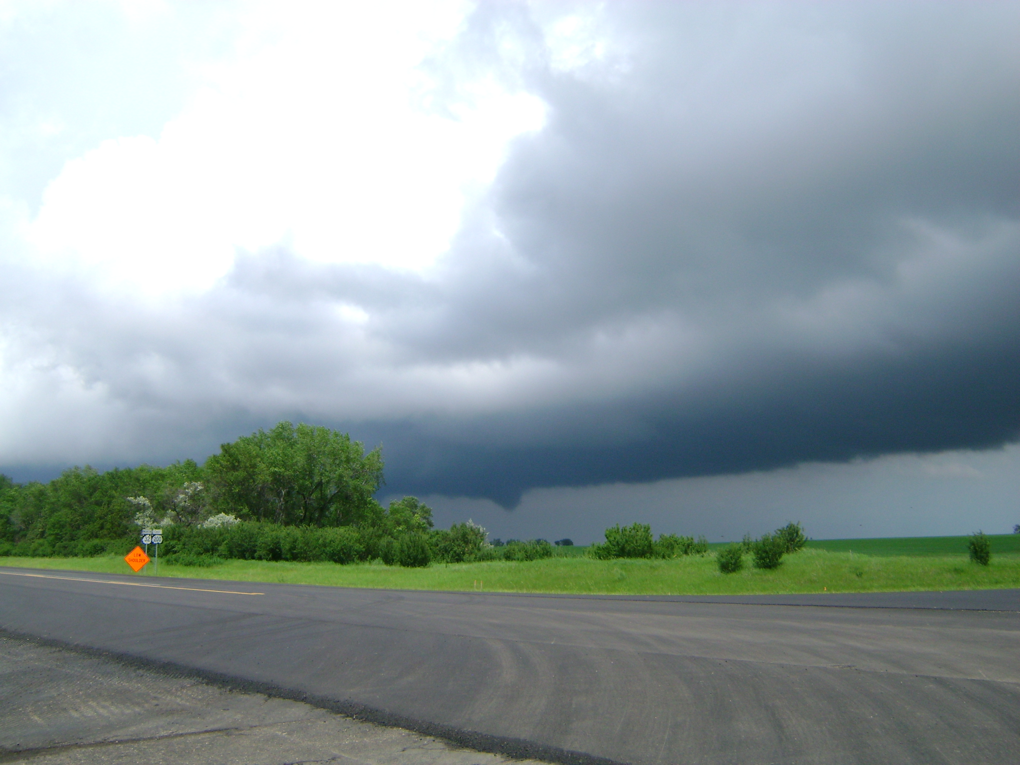
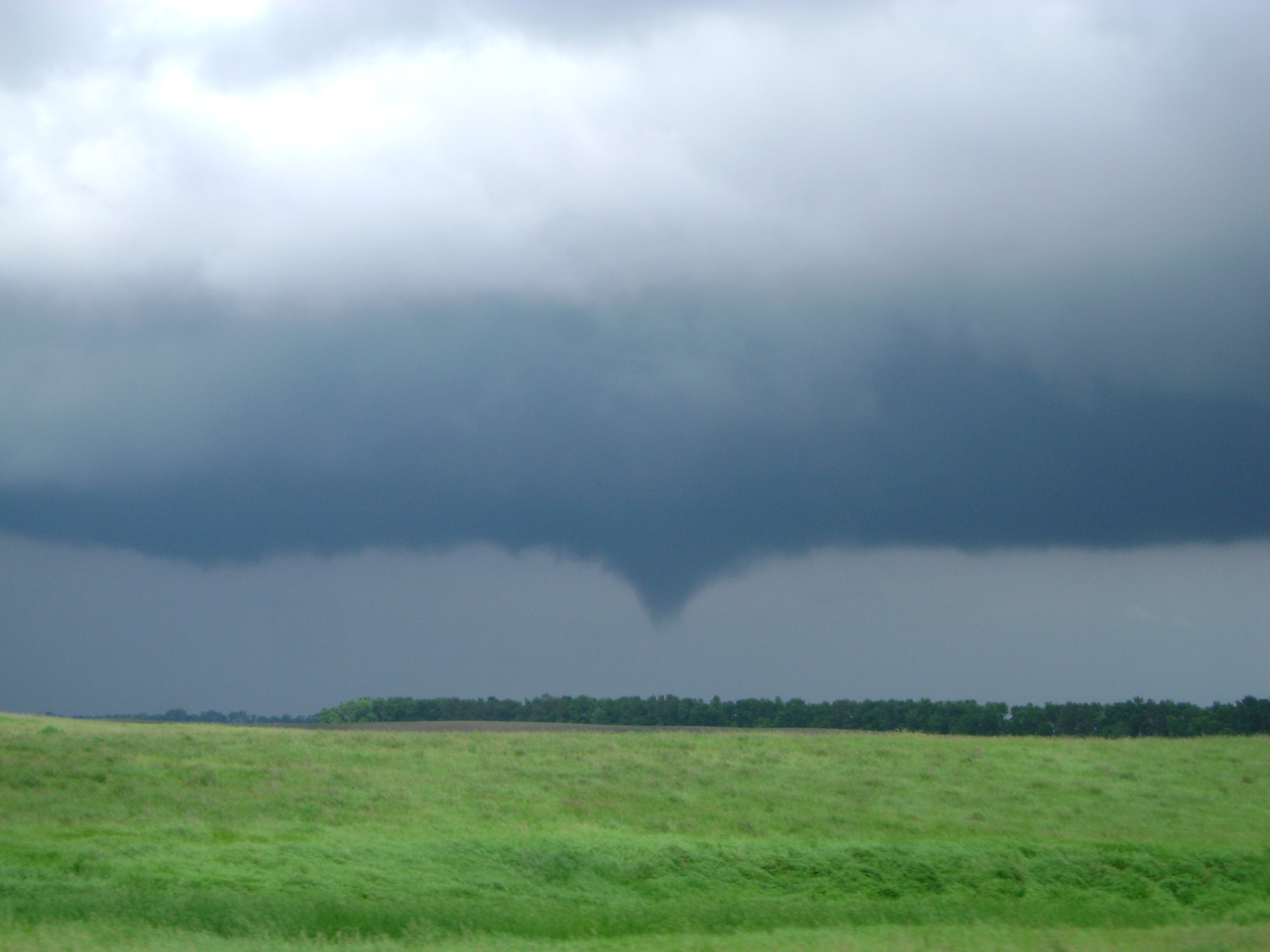
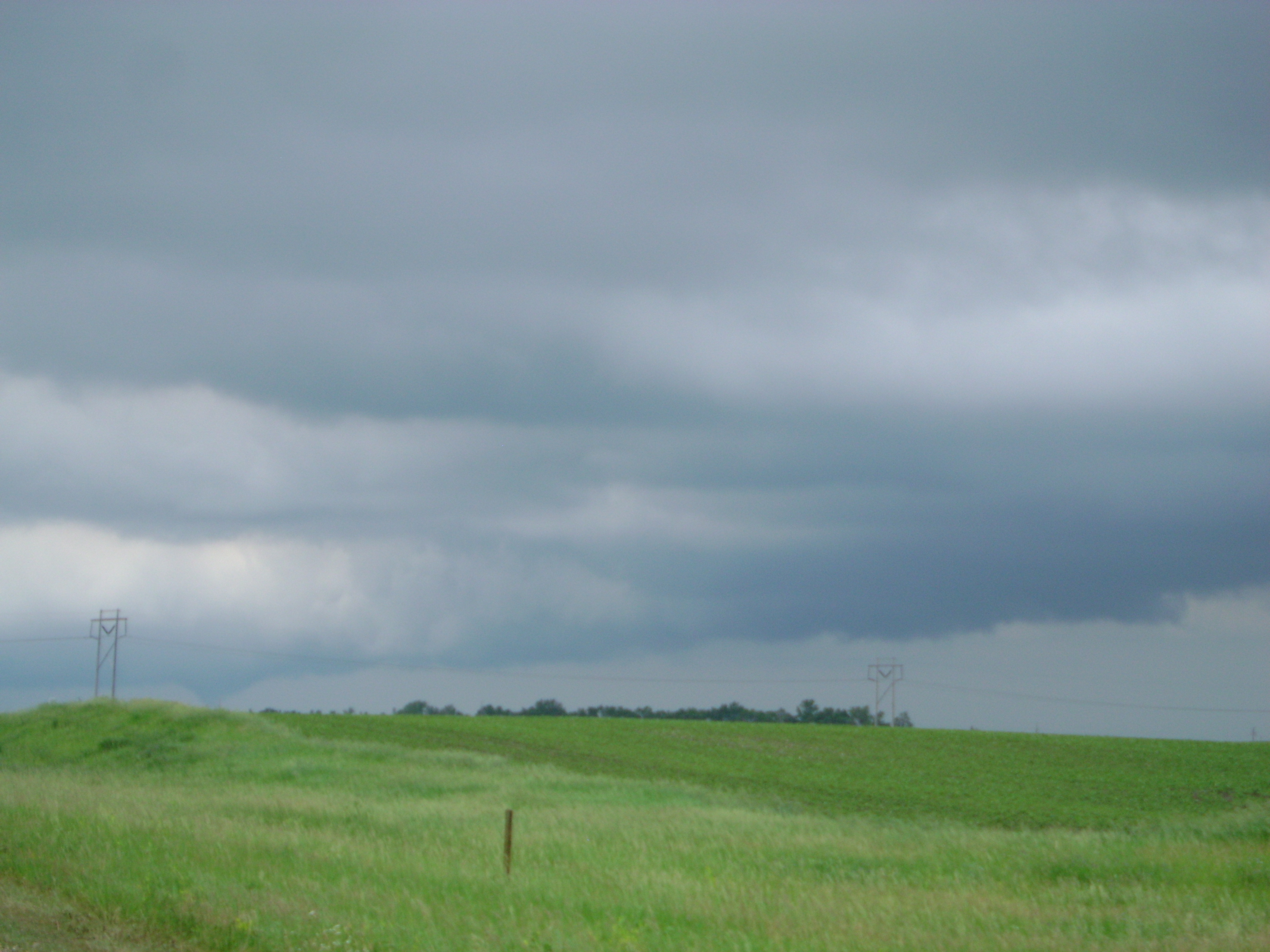
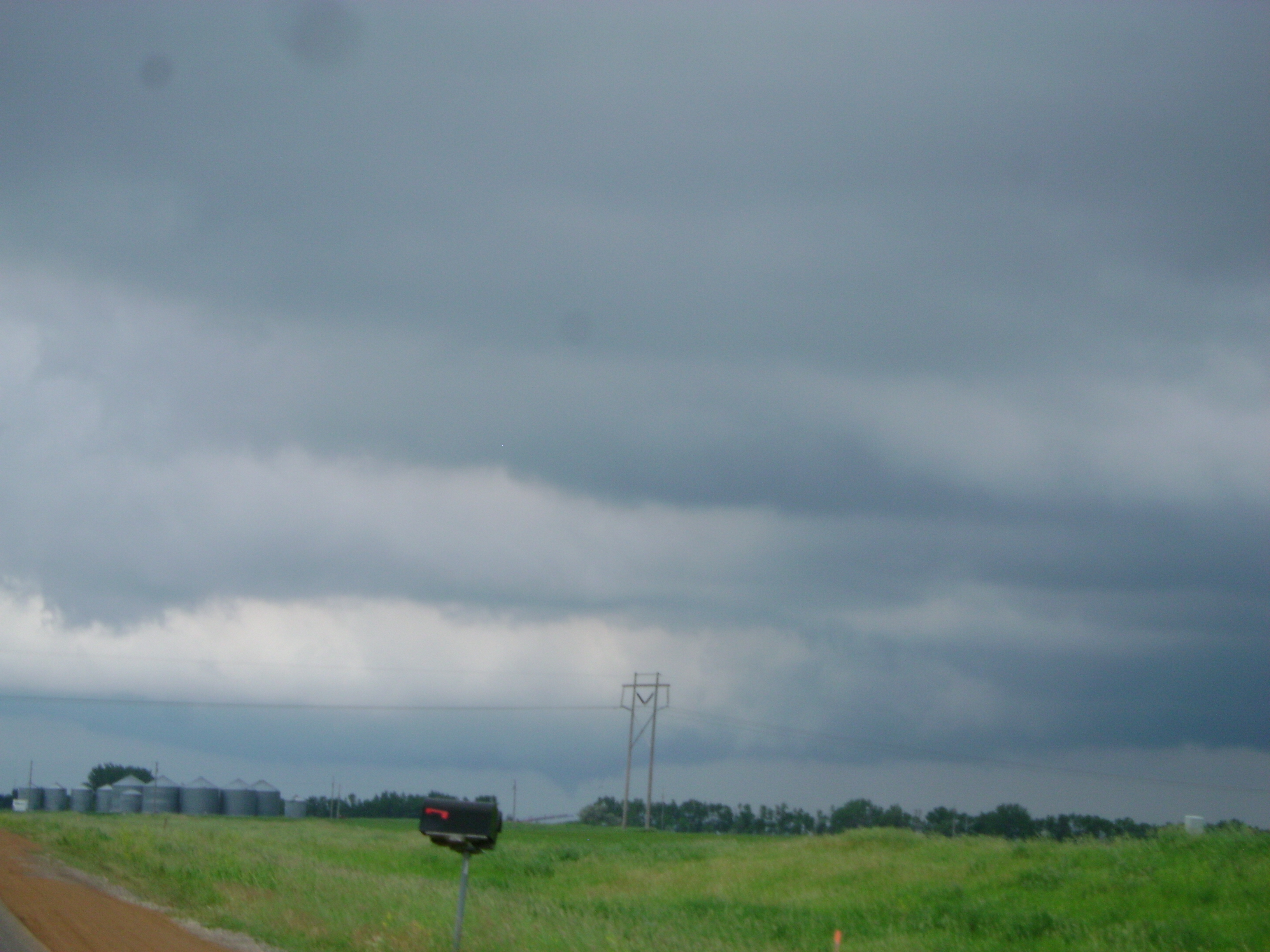
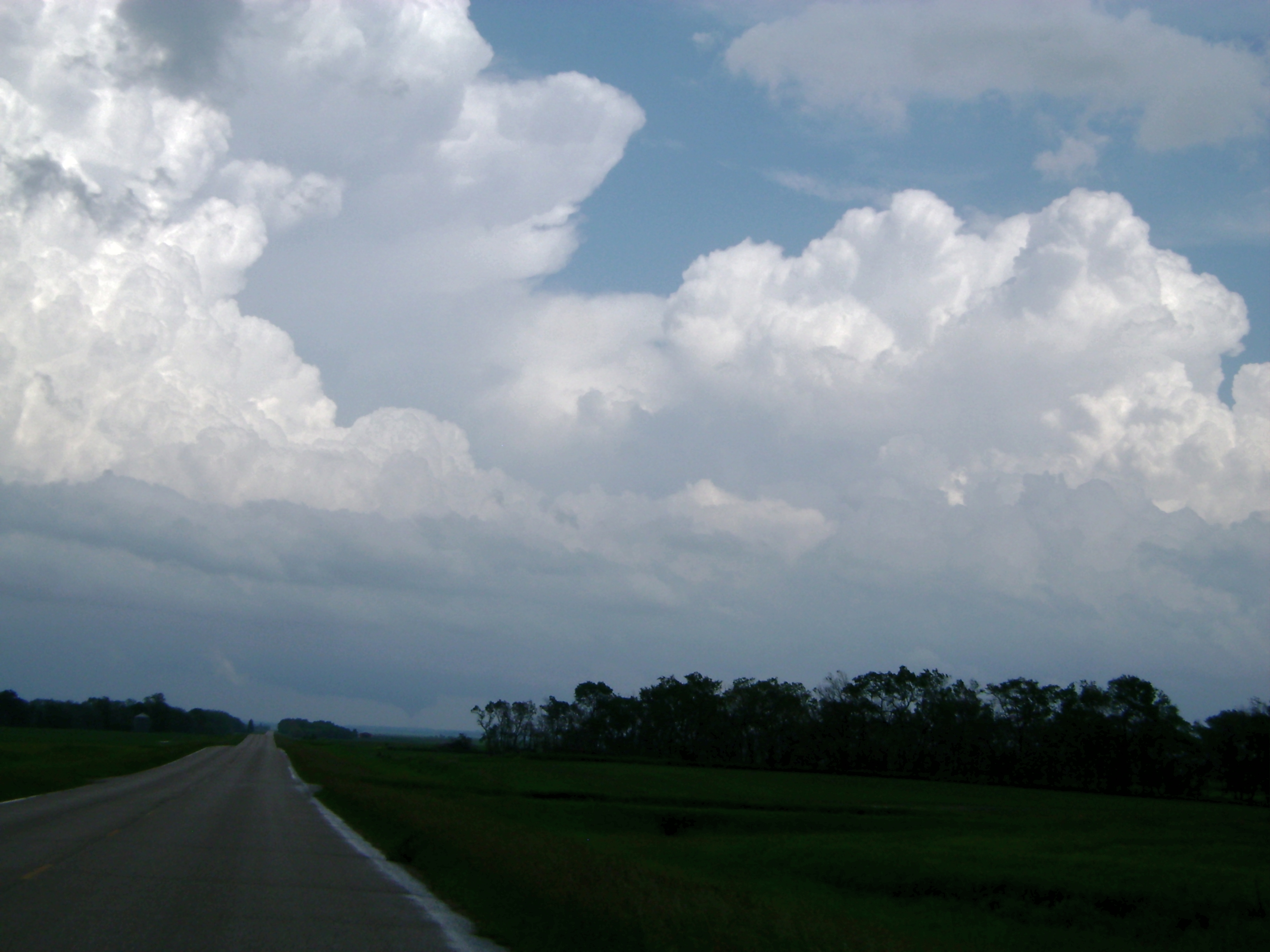
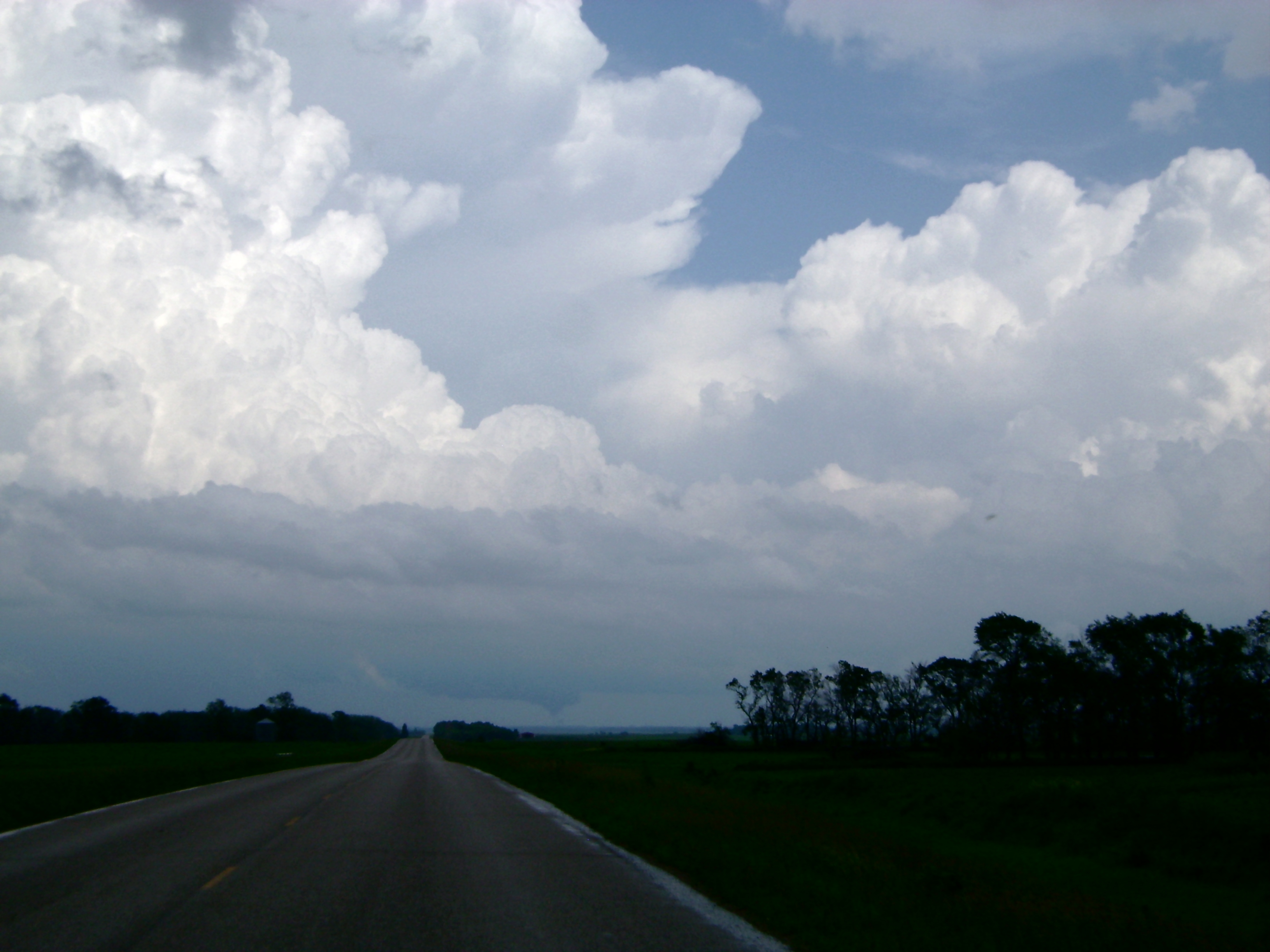
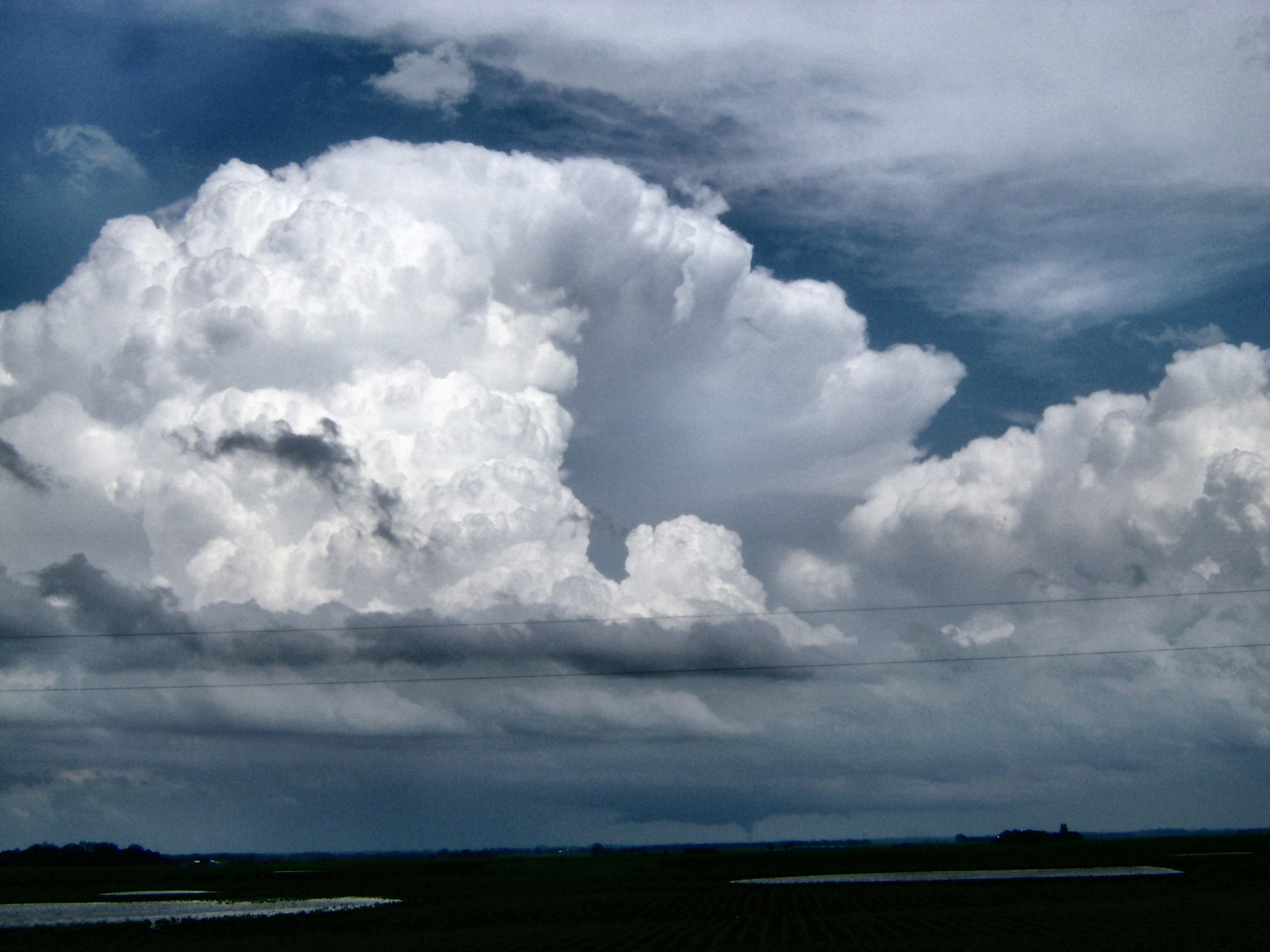
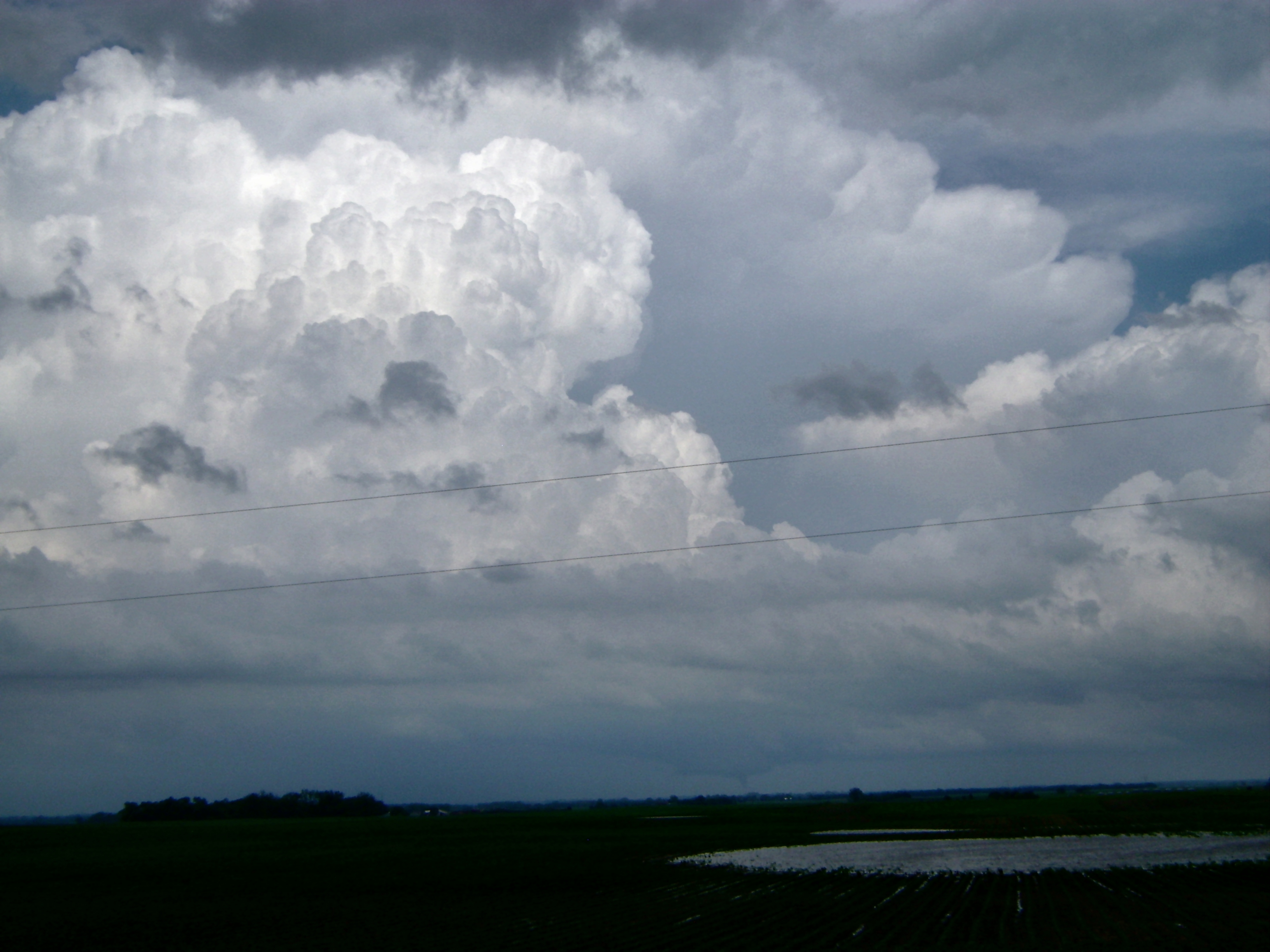
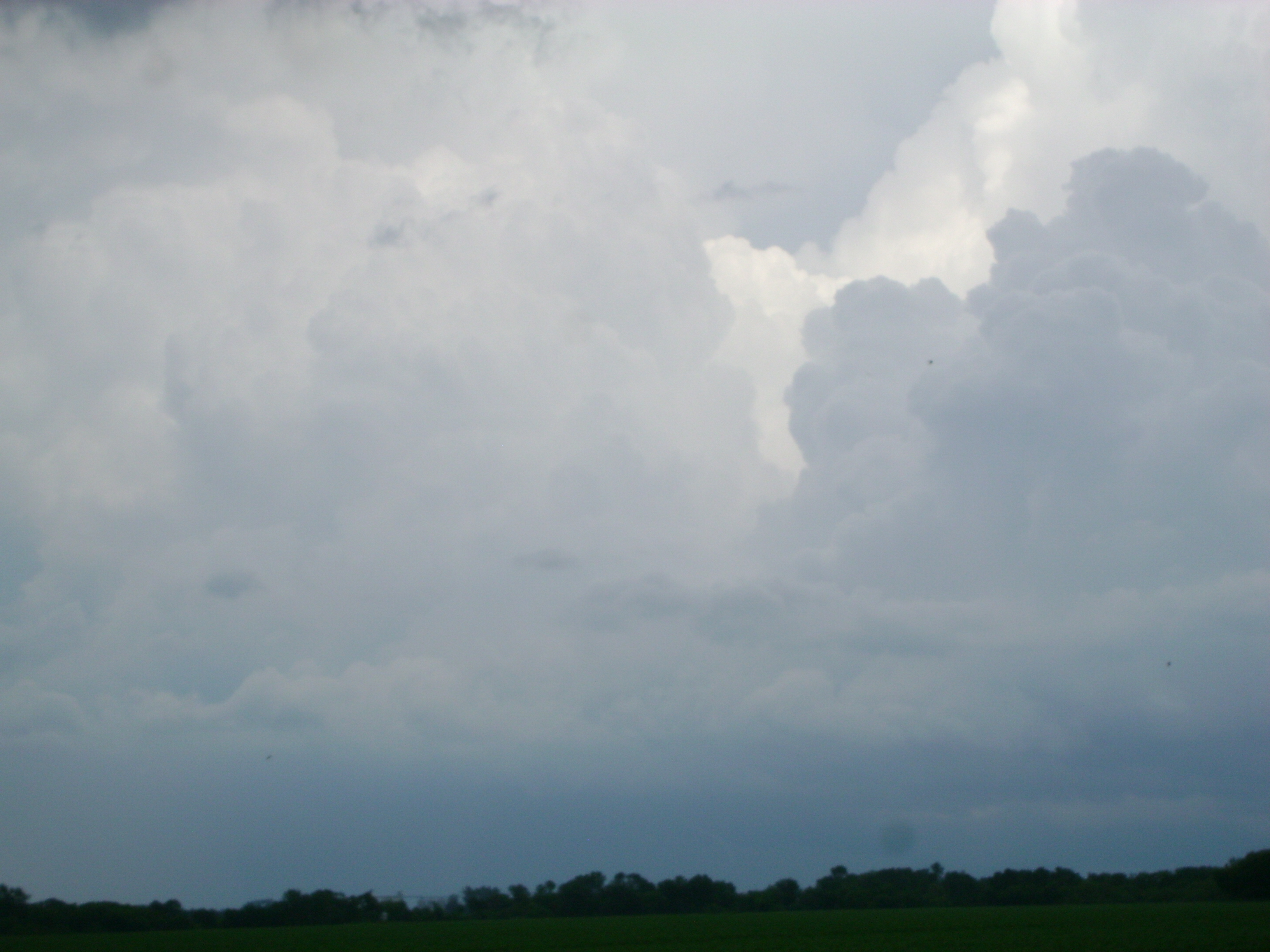
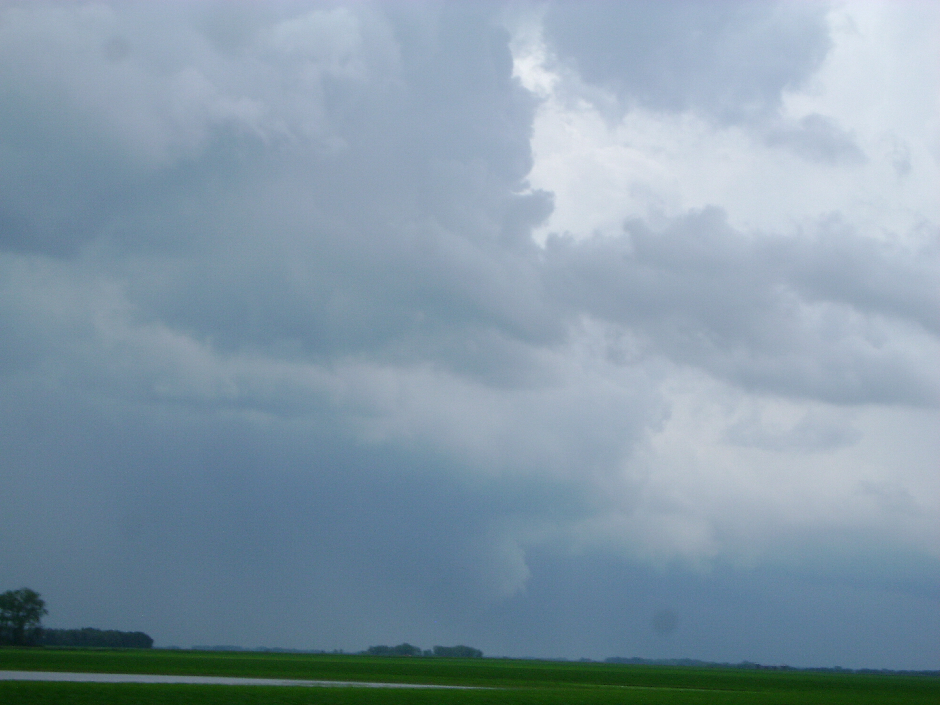
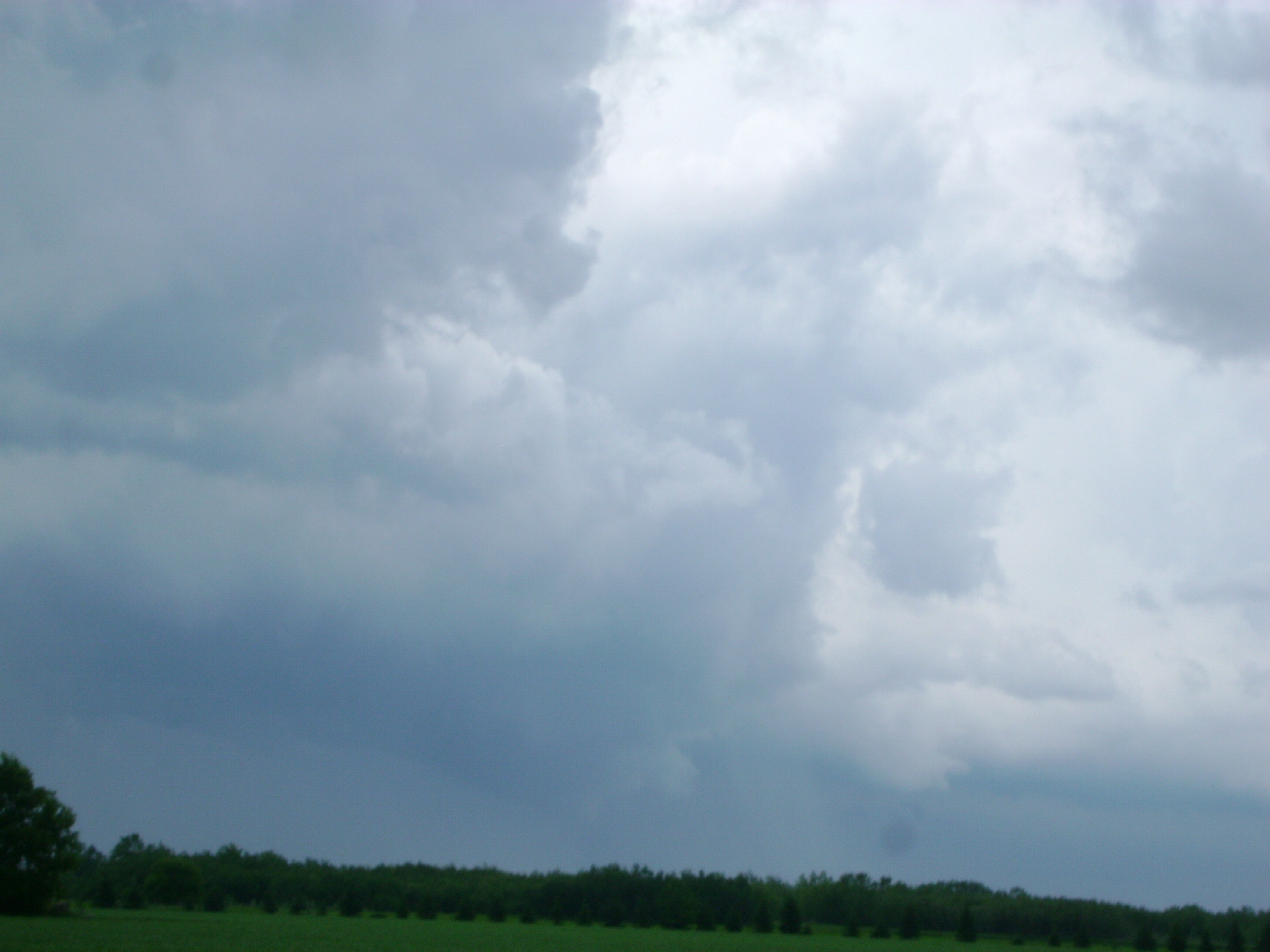
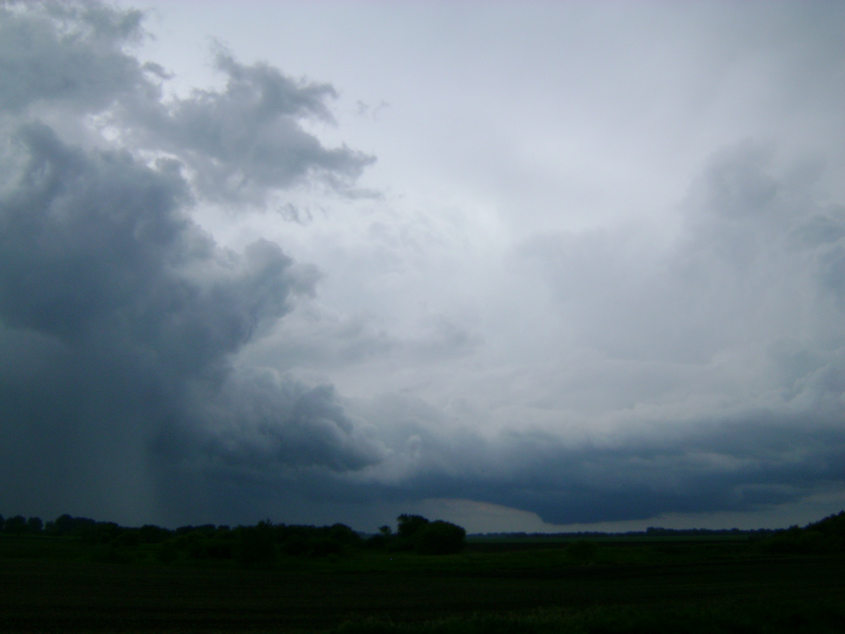
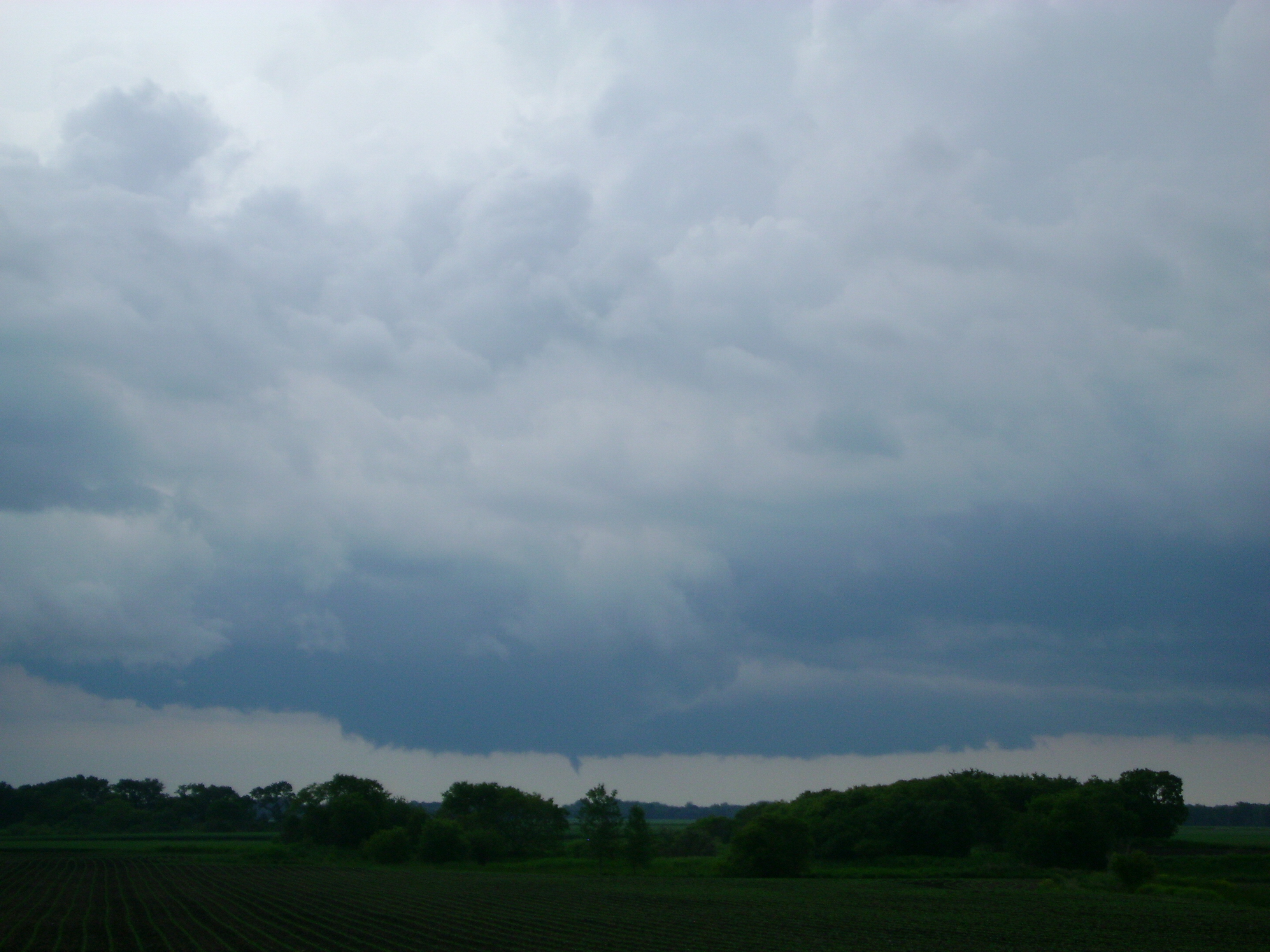
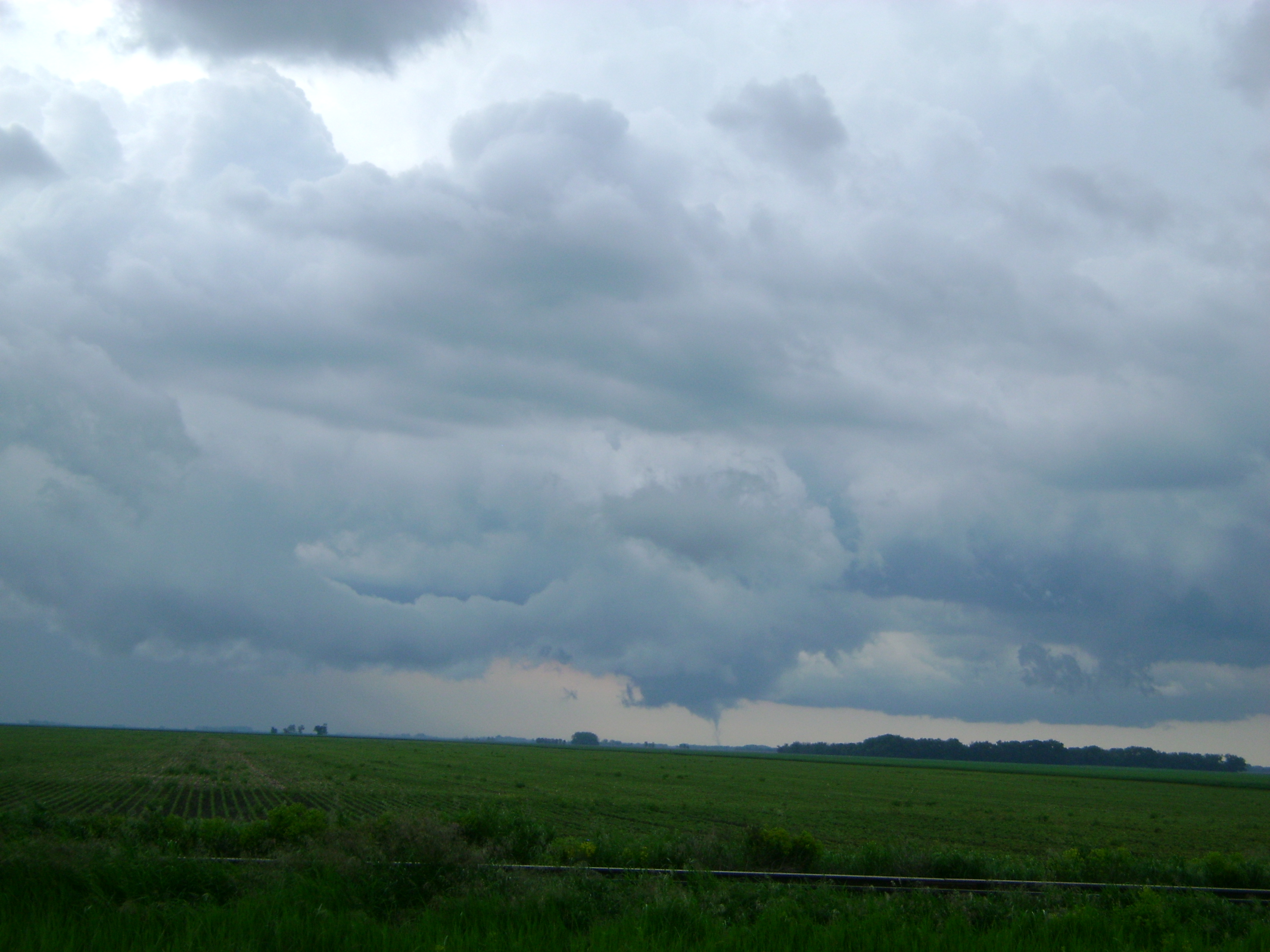
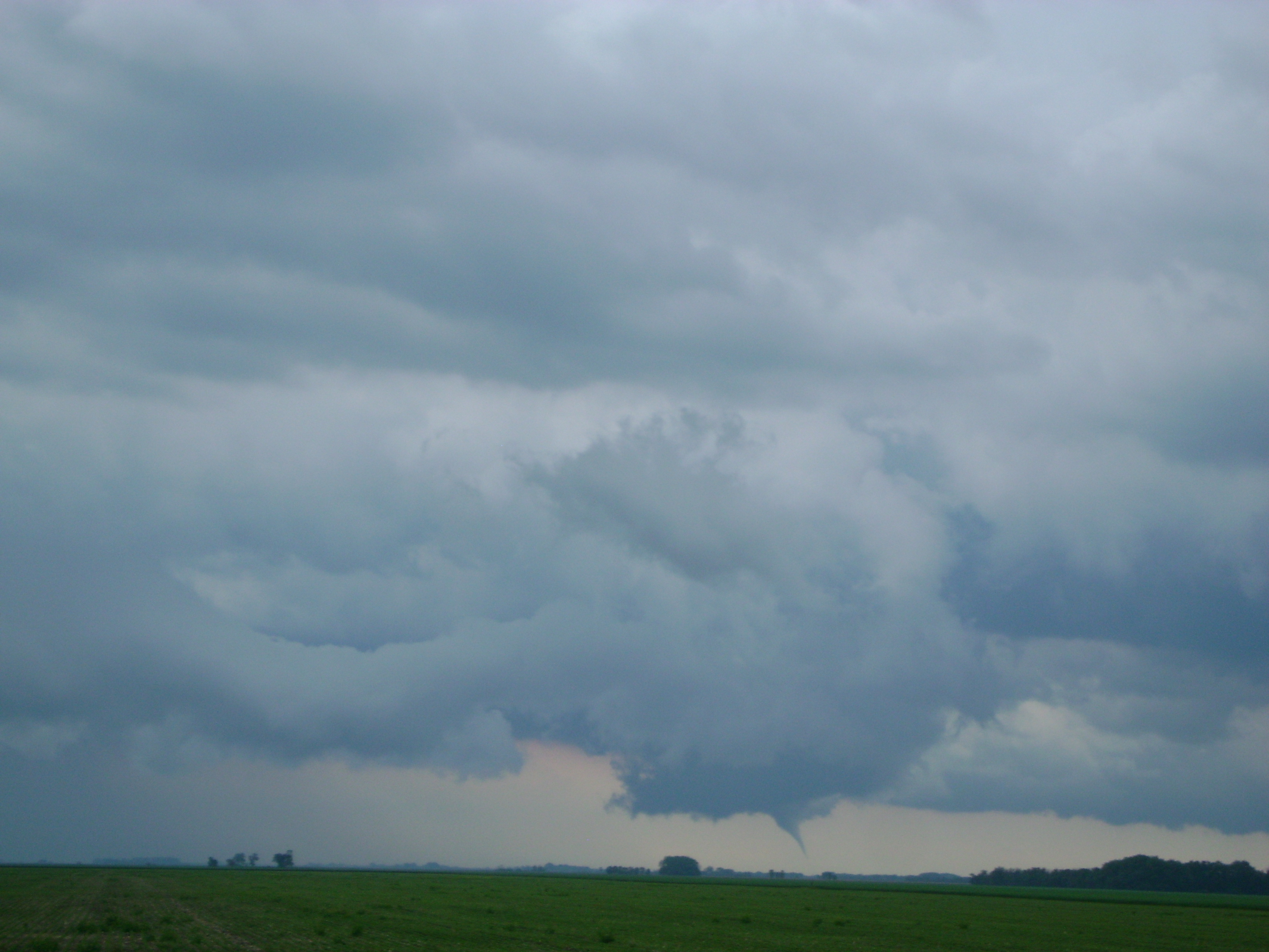
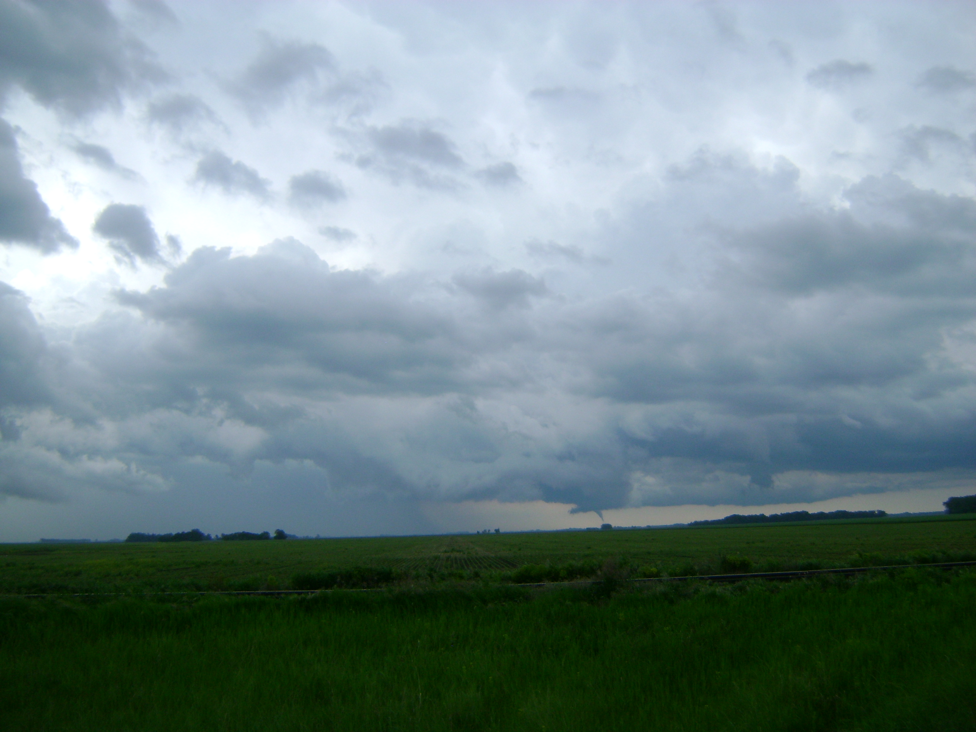
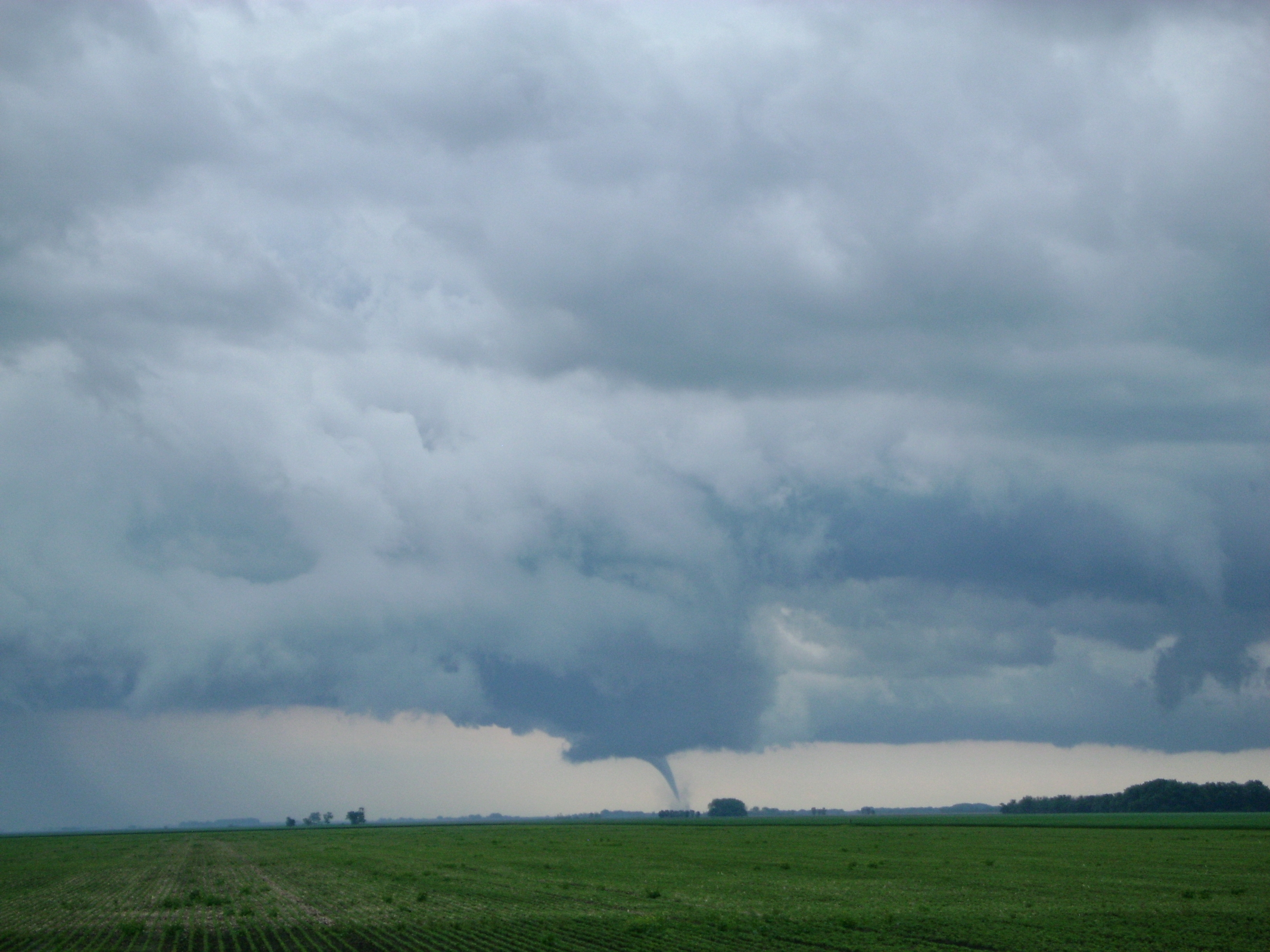
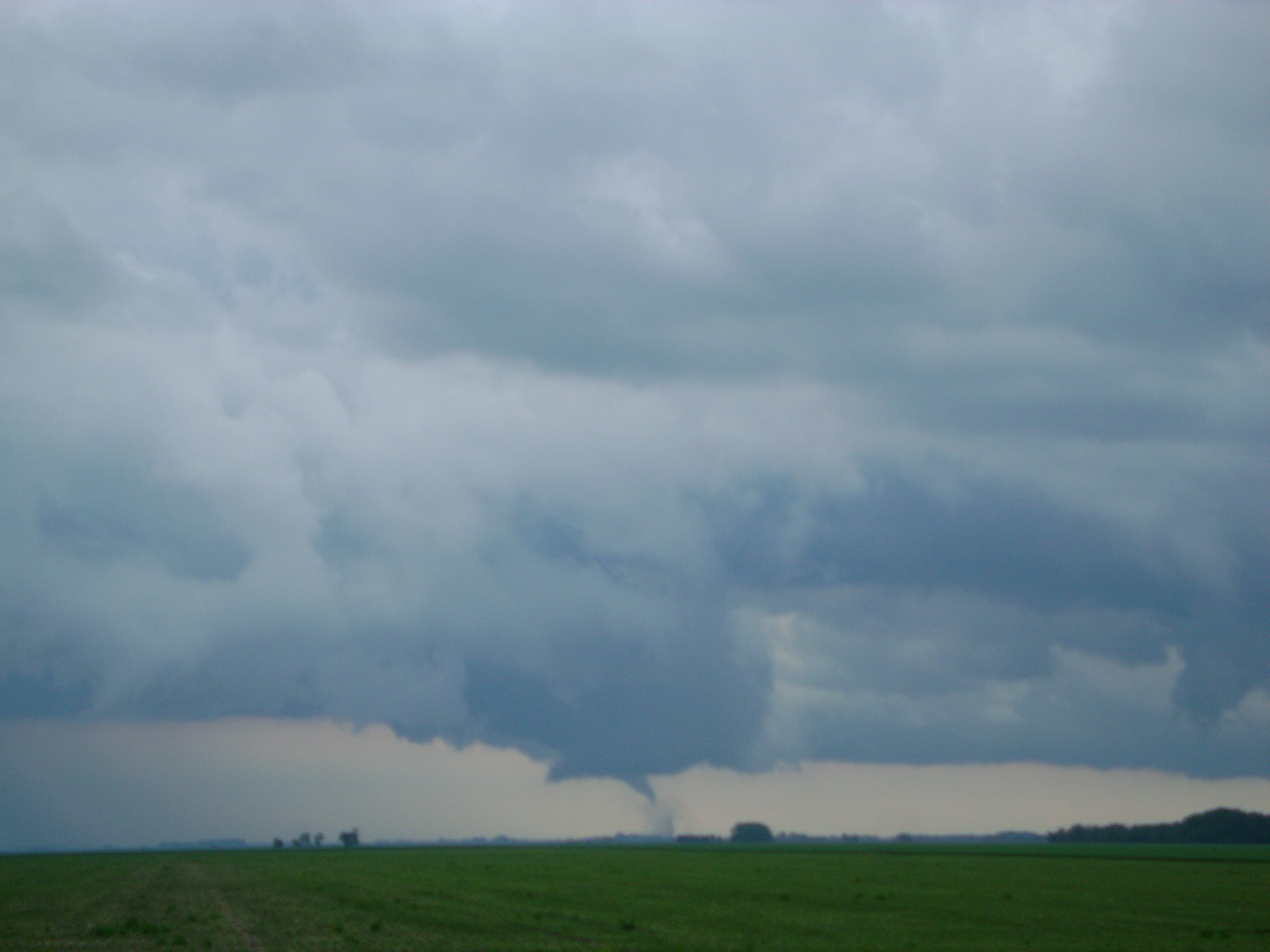
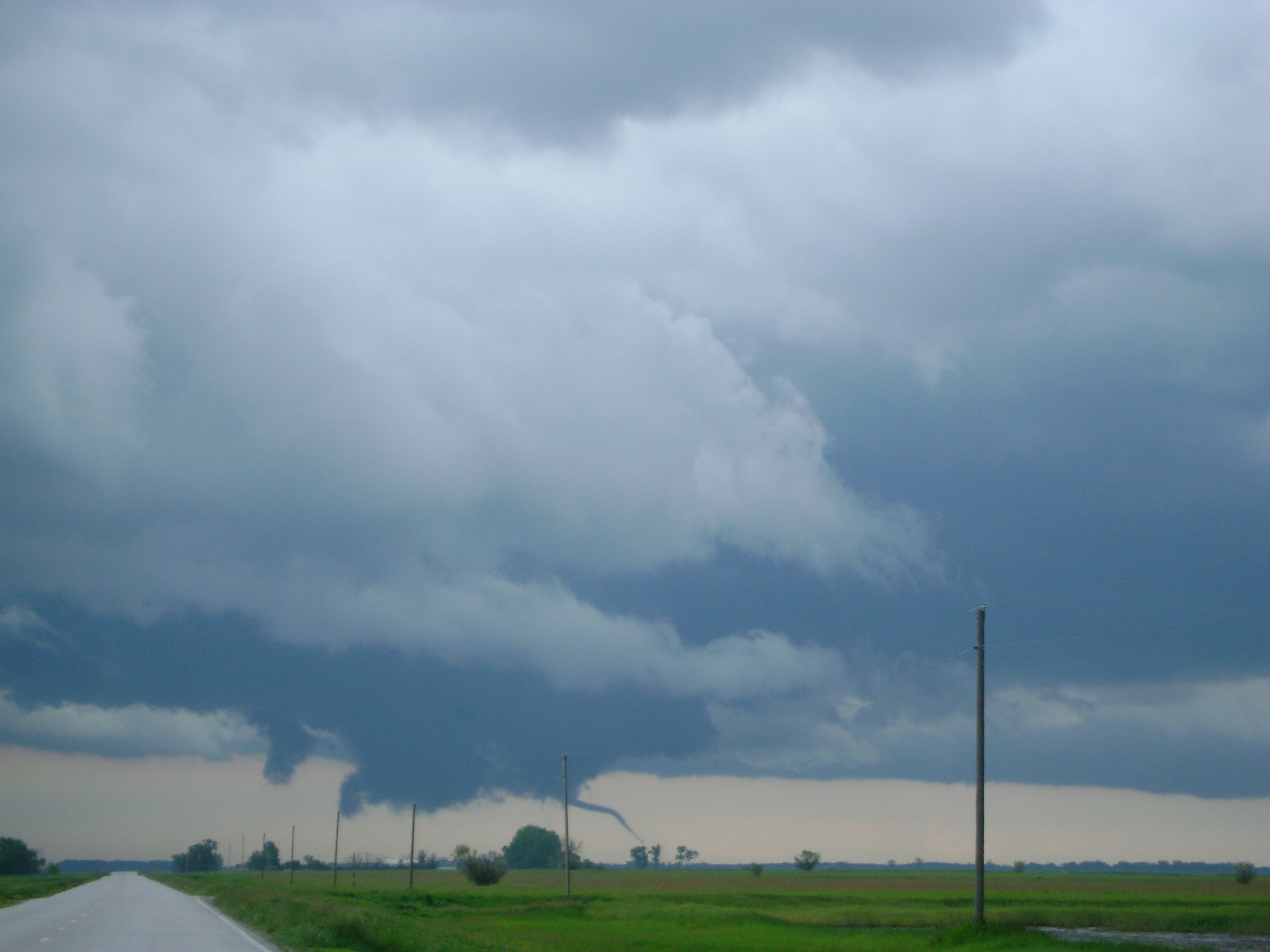
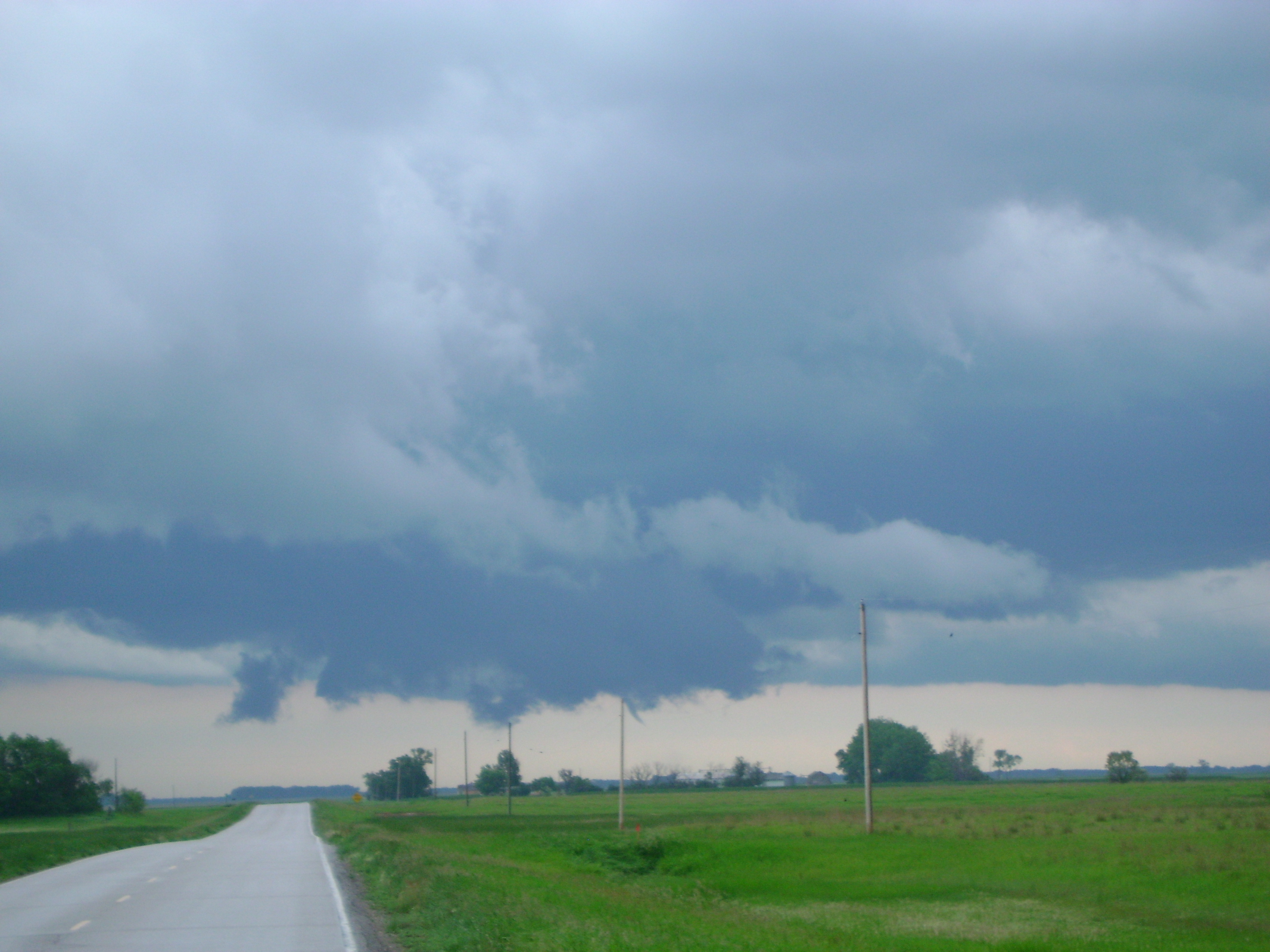
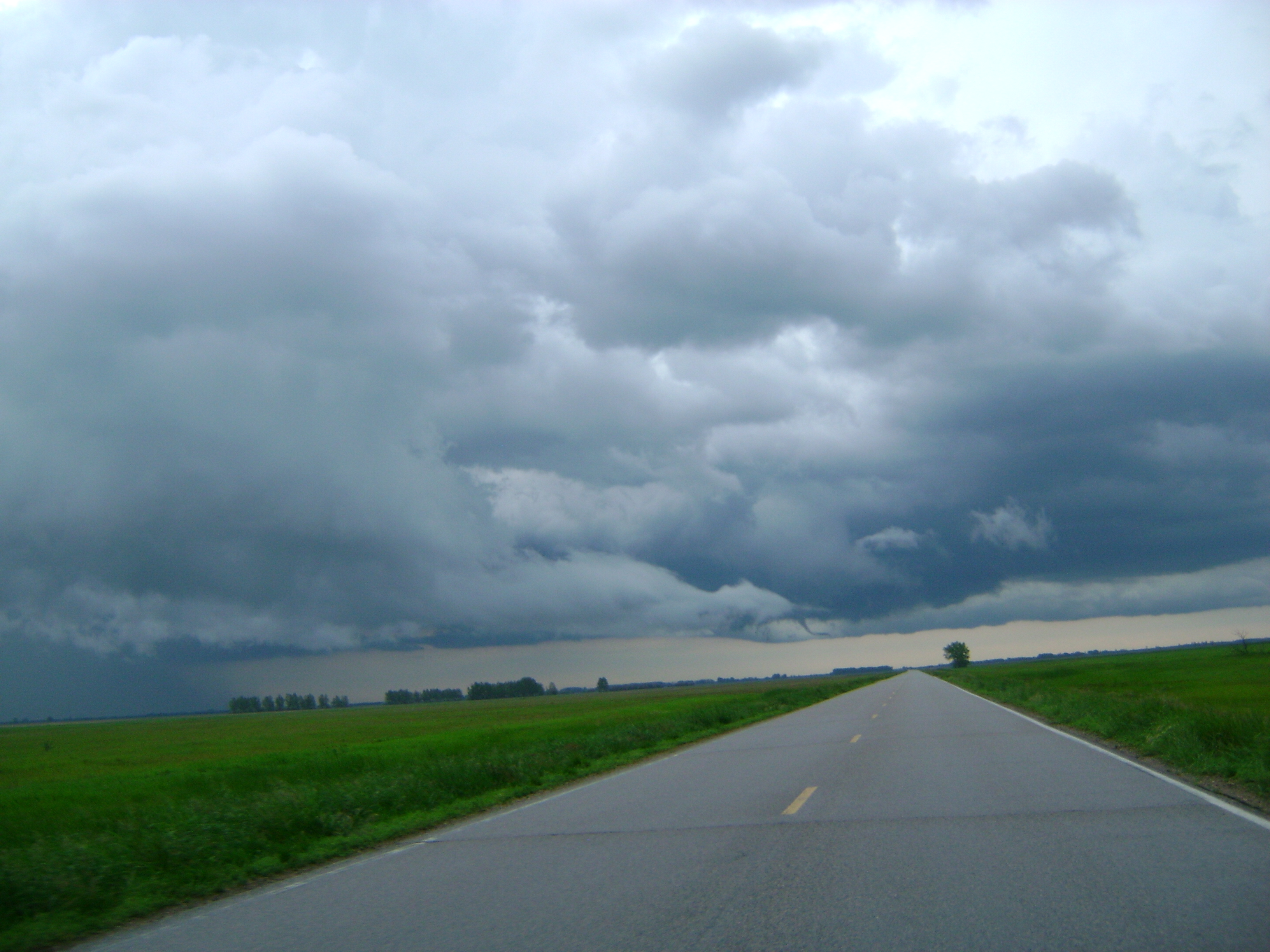
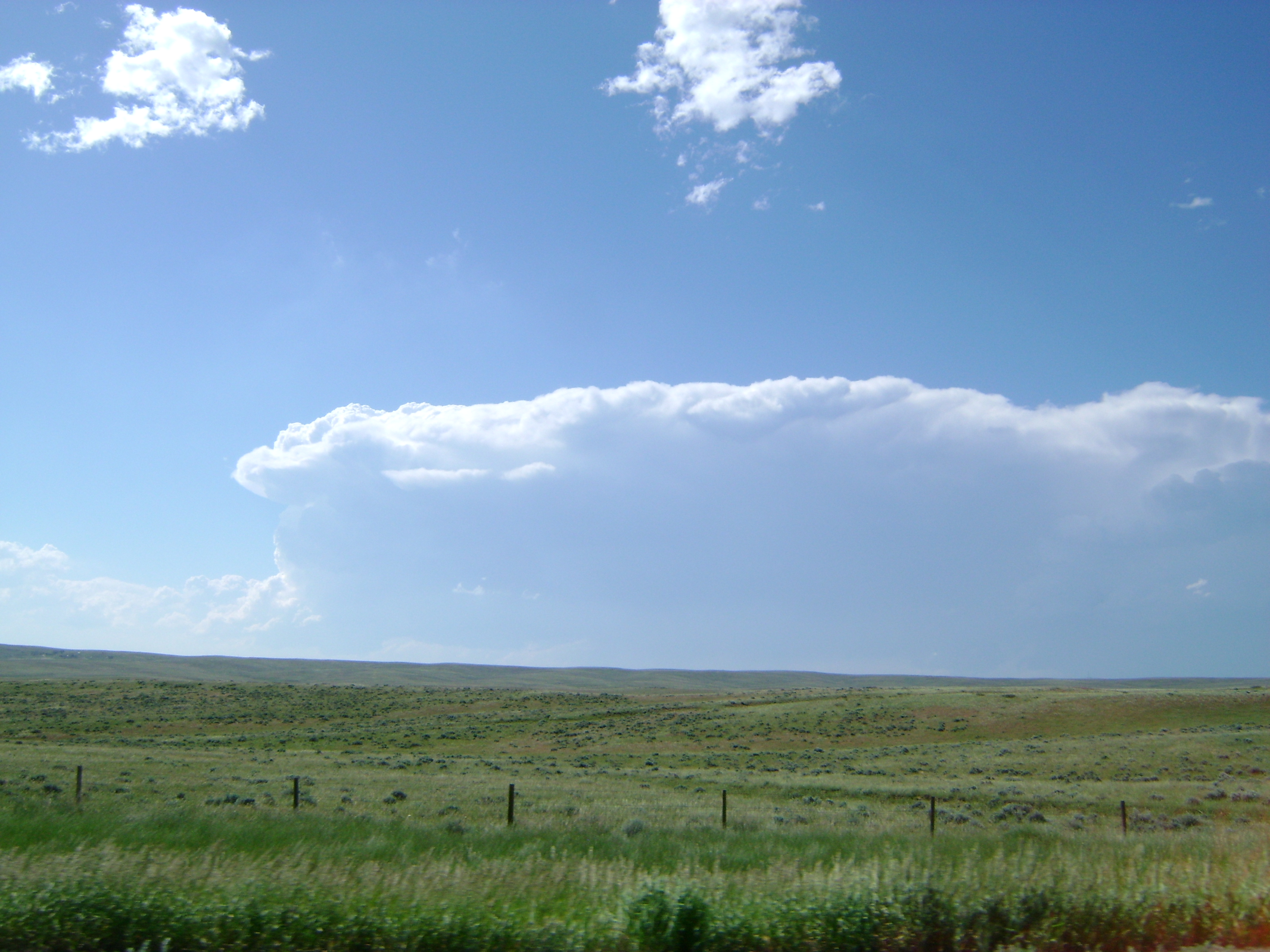
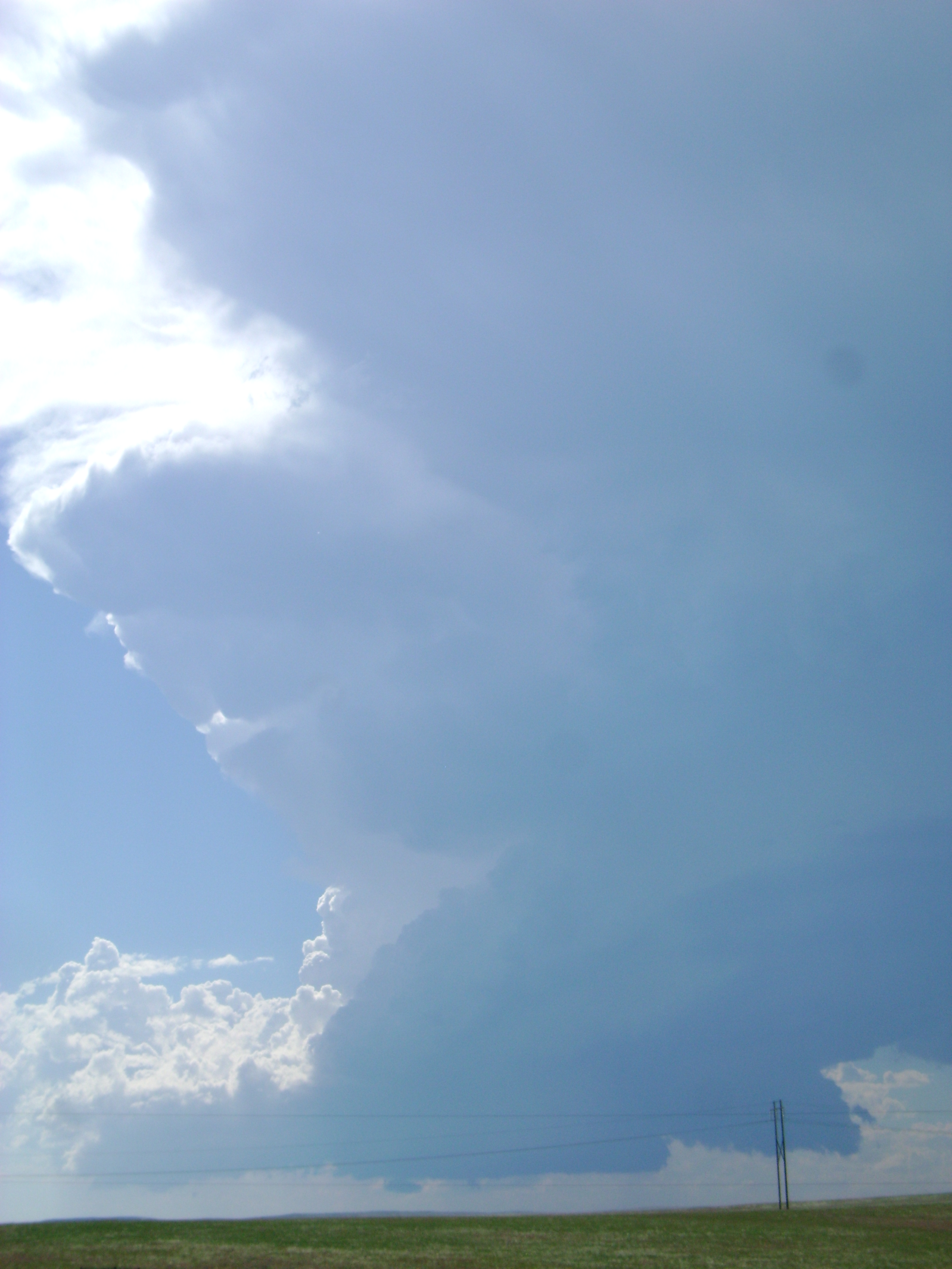
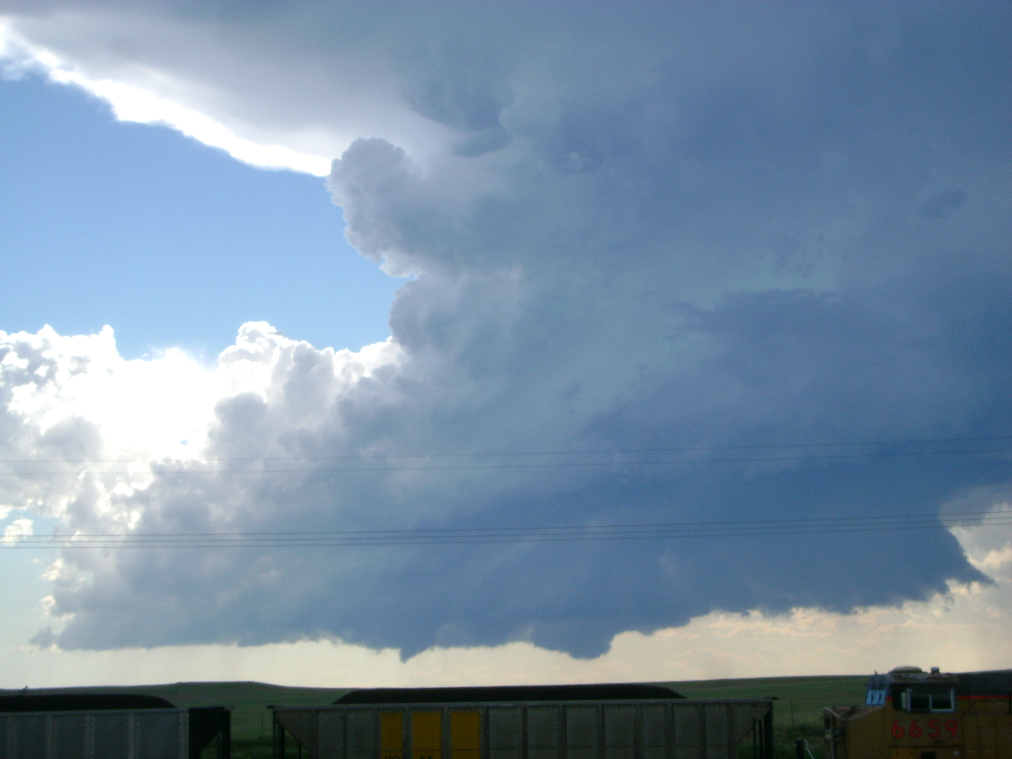
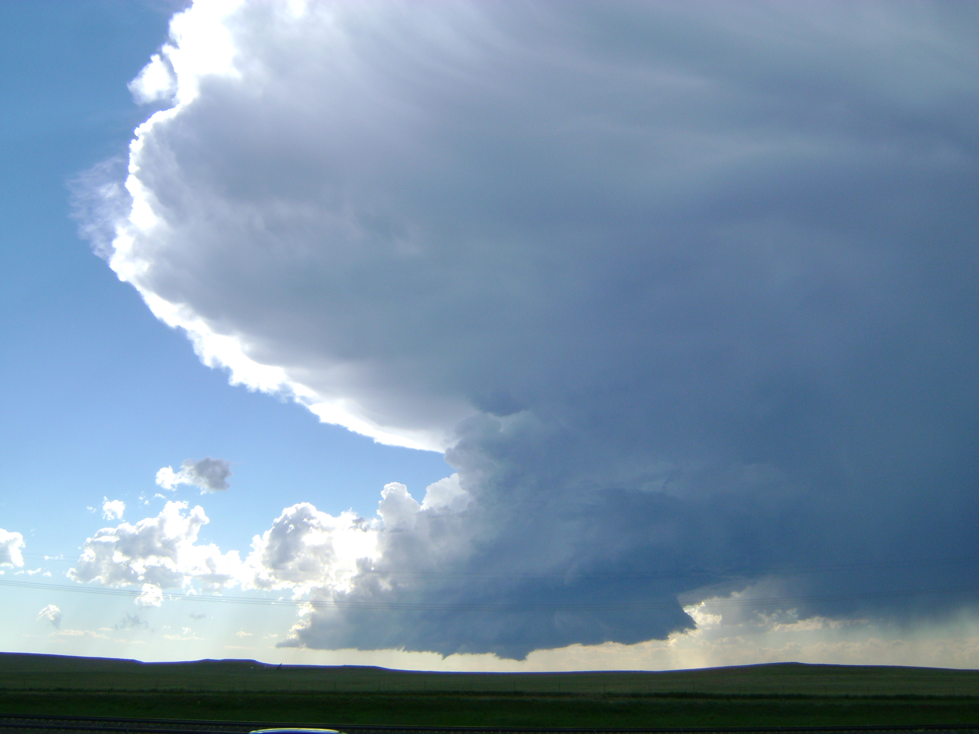
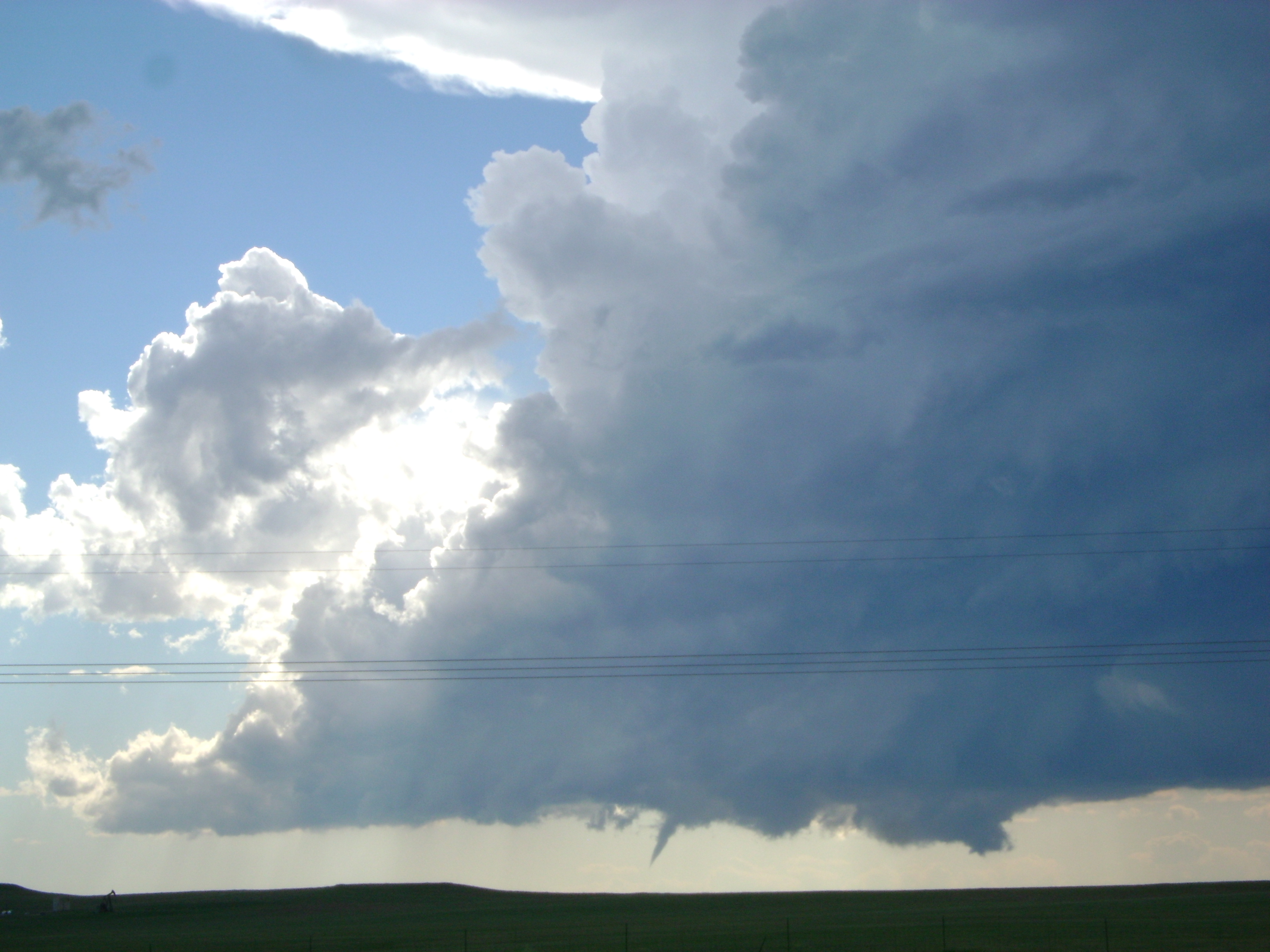
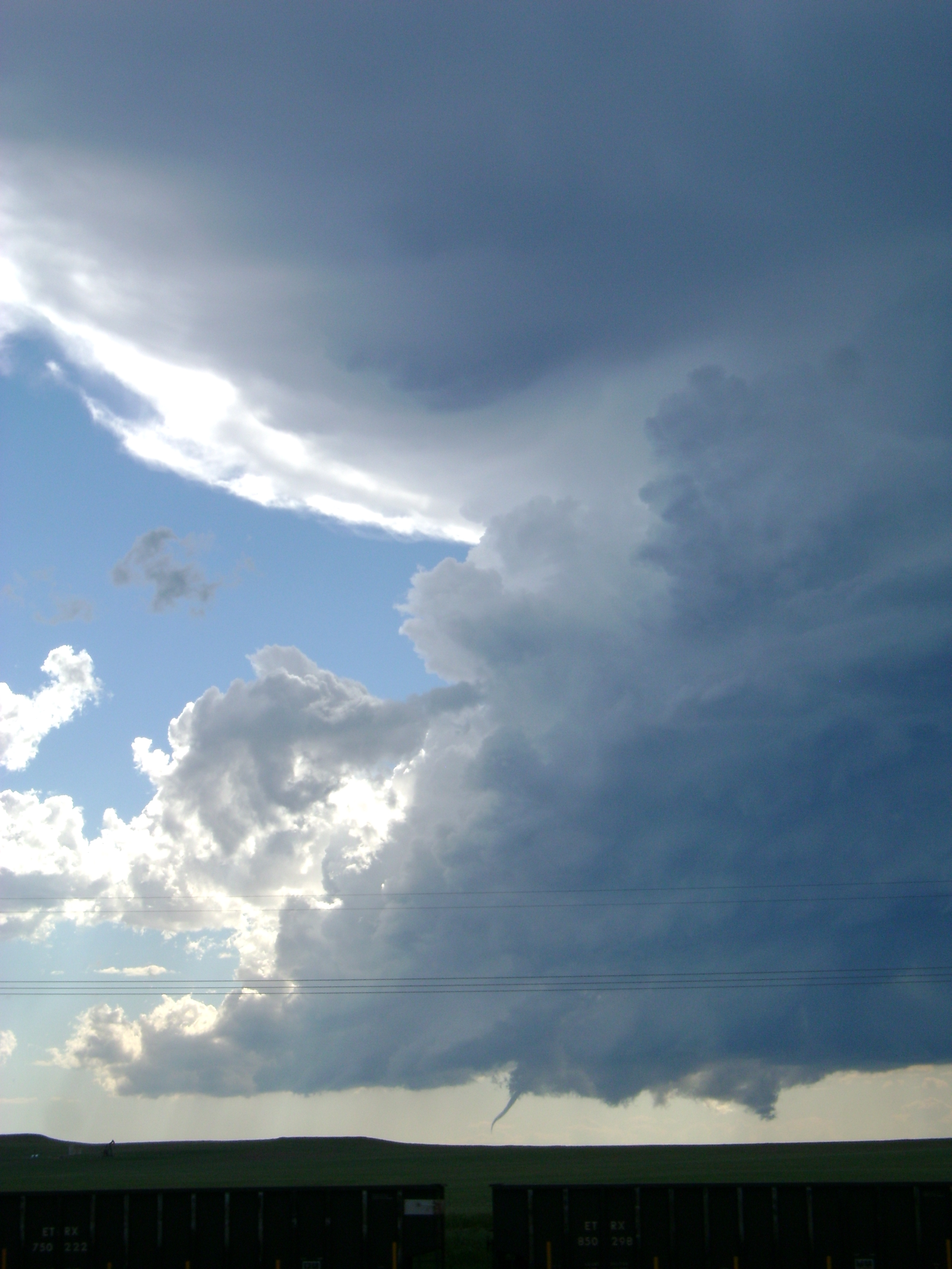
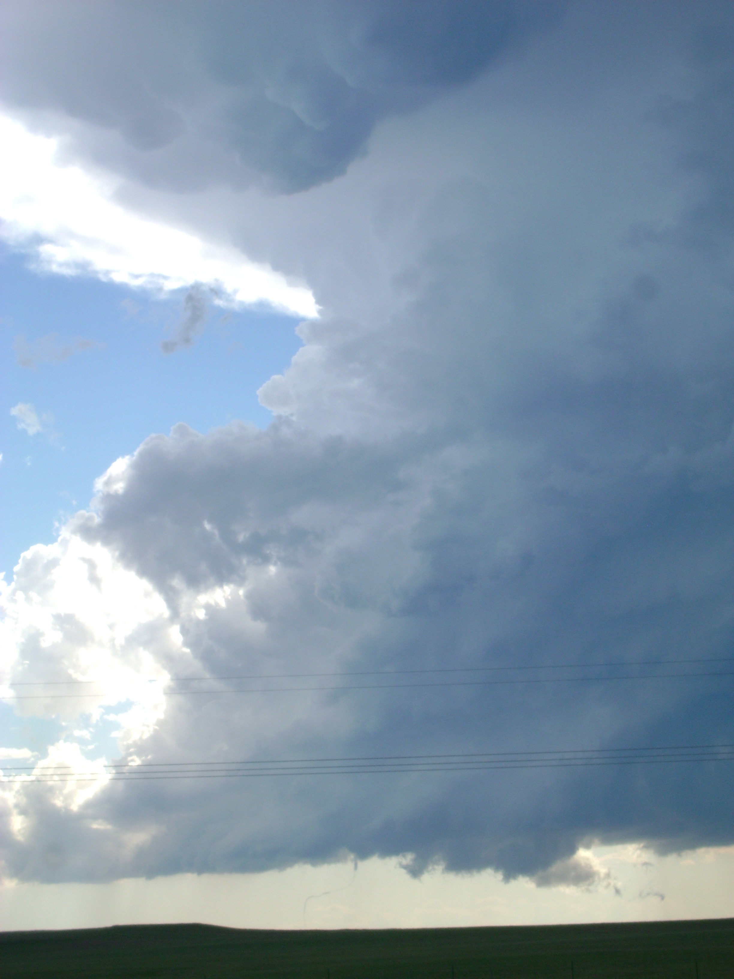
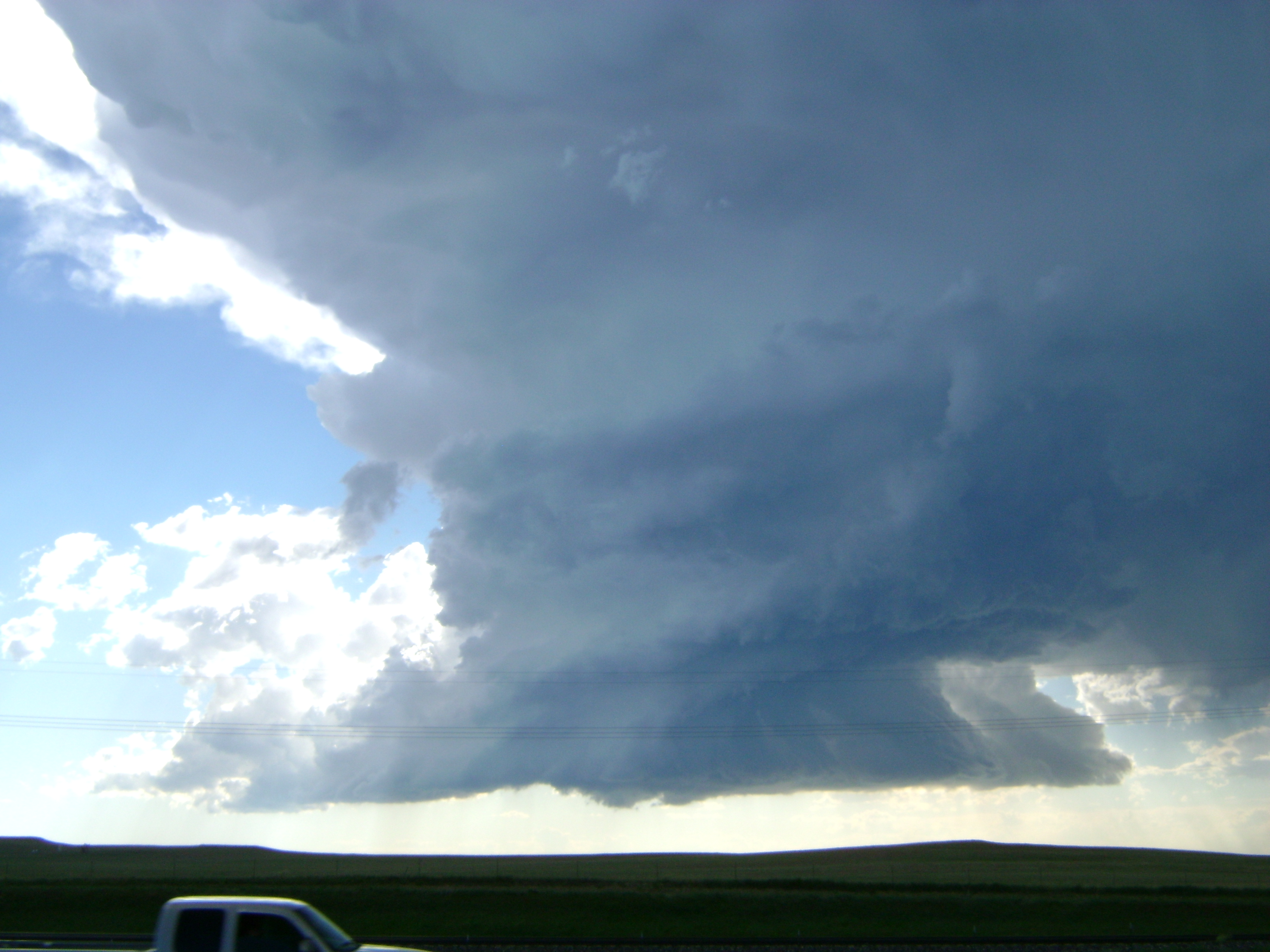
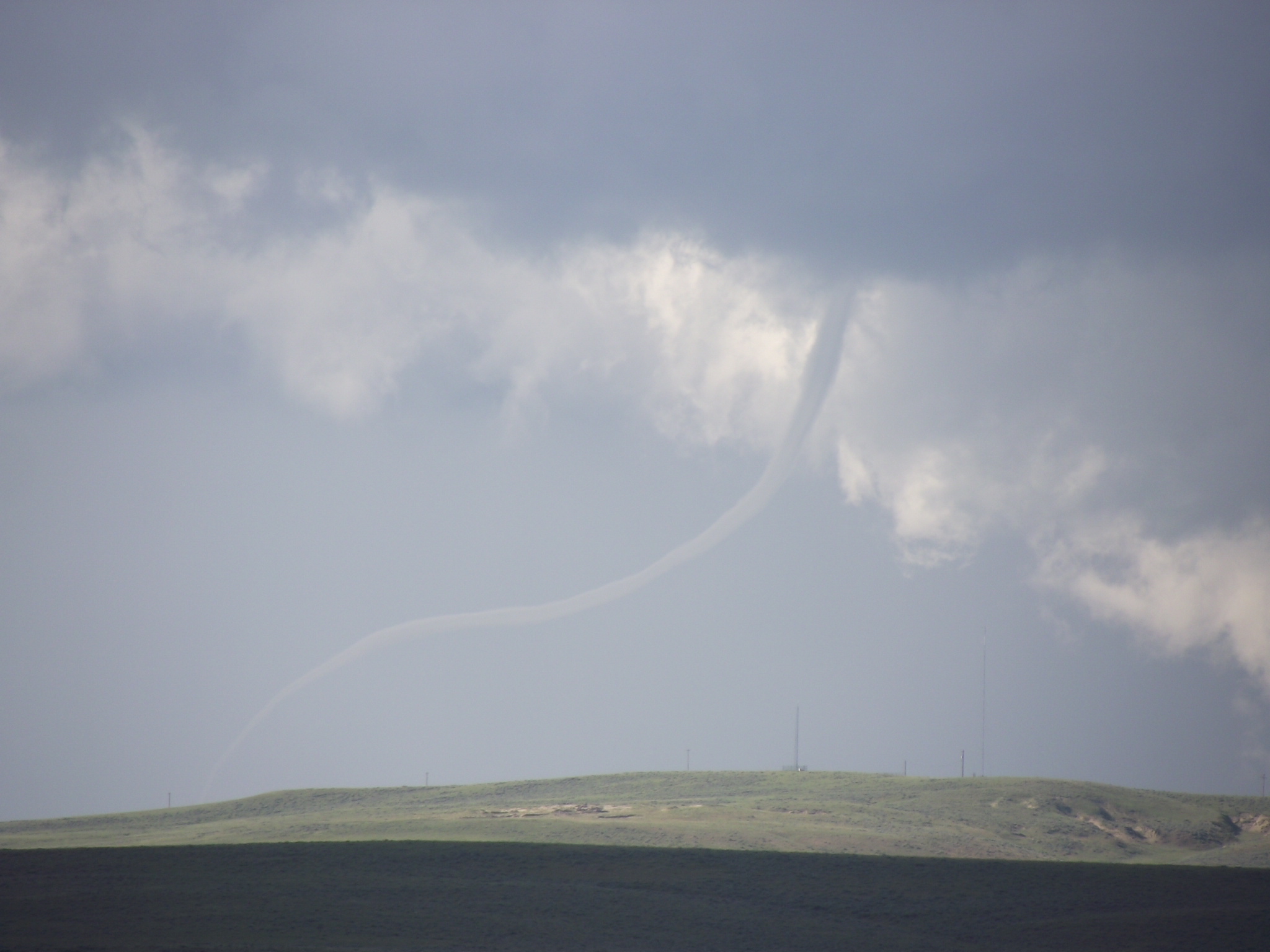