
1936-1949
1950-1959
1960-1969
1970-1984
1985-2004
Tornado case study pages by National Weather Service Forecast Areas
The goal is to provide an archive of surface/upper air charts and soundings for as many United States tornado events as possible. The data were plotted using digital atmosphere and then hand analyzed using Microsoft Paint. After selecting the area of interest, just click on the date on the left side of the table to get event details. Tornado paths and hail occurrences are plotted using SeverePlot v2.0 by John Hart of the Storm Prediction Center. Most of the details were obtained from the book 'Significant Tornadoes' by Tom Grazulis. This book is a fantastic resource for tornado enthusiasts. I also perused the "Storm Data" publication for many of the events to get additional details. But even the official Storm Data volumes are replete with inaccuracies and this is true even to the present day. In rare cases, I opted to document old events myself.
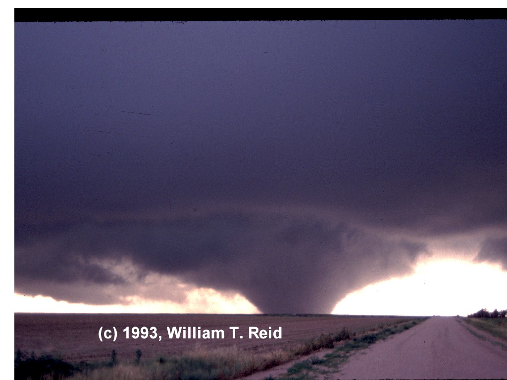
Tornadoes have less to hit on the high plains and front range, and they generally move slower (thus have a shorter path length). They generally occur during daylight hours with no trees to block visual sighting. Higher cloud bases and flat terrain also help in the sighting of these tornadoes.The population density is very low on the high plains. Any humans in the way of these beasts generally have time to get out of the way. Therefore, tornadoes in this region will hit few structures and kill very few people. This does not mean these are weaker tornadoes. In fact, some tornadoes that are rated F0 to F2 above 3000ft would do F3 to F5 damage when moving 45-60 mph across Mississippi at 2am.
I have begun approximating instability for the cases. While surface based CAPE is used widely these days, calculating CAPE from surface and upper air data can be a very labor intensive process. Until the process for computing CAPE becomes automated using digital atmosphere , I will approximate instability using the surface based lifted index. For stations above 5000 ft., I may use the 400mb lifted index. I do not like using mean layer instability for surface based convection. While mean layer LI may be more realistic, I would rather stick with values that we know are correct using surface data. We really have no idea what the t/td profiles are above the surface. In well mixed situations, the pot. temp and mixing ratios are often conserved in the boundary layer, so using mean layer LI wouldn't really do any good anyway. The low level vertical distribution of moisture varies greatly in time and space. In case you are skeptical, just study the August 6, 1962 soundings across the plains from 12 UTC to 00 UTC. Storms tend to develop in areas of moisture convergence where the moist layer is locally deeper. Using soundings 100-200 km or more away would be very misleading. Good proximity soundings are hard to come by, especially in the cool season when theta-e as well as mid to upper-level temperatures vary greatly in time and space. Areas of significant surface based instability are fleeting and confined to narrow corridors in the cool season. In most cases, many soundings were considered, along with the appropriate surface data and elevation to calculate instability. In other words, surface and upper air data were judiciously utilized to approximate instability.
The technique I used to approximate the lifted index without the virtual temperature correction is very simple. I took full advantage of surface observations in the inflow of the tornadic activity just prior or during the time of the tornadoes. I looked up the station pressure on the observation forms, as well as the T/TD. Then I approximated the 500mb temperature on the 500mb chart using the morning and evening data. Then I found a sounding on awips that had nearly the same surface pressure (station pressure). I modified the surface T/TD and 500mb temperature and found the lifted index.